|
16-07-2018 Boucle from La Bastide-Puylaurent 154 km
La Bastide-Puylaurent − D151 − Pied-de-Borne − Villefort − Col du Mas de l'Ayre
− D113 − Pied-de-Borne − Les Beaumes − Montselgues
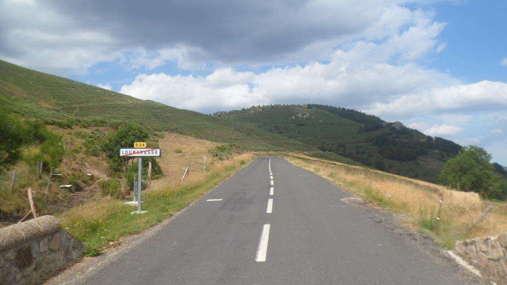
− D4/D403 − Loubaresse − Col de Meyrand − Col de la Croix de Bauzon
− Col du Pendu − Saint-Étienne-du-Bugdares − Luc − La Bastide-Puylaurent
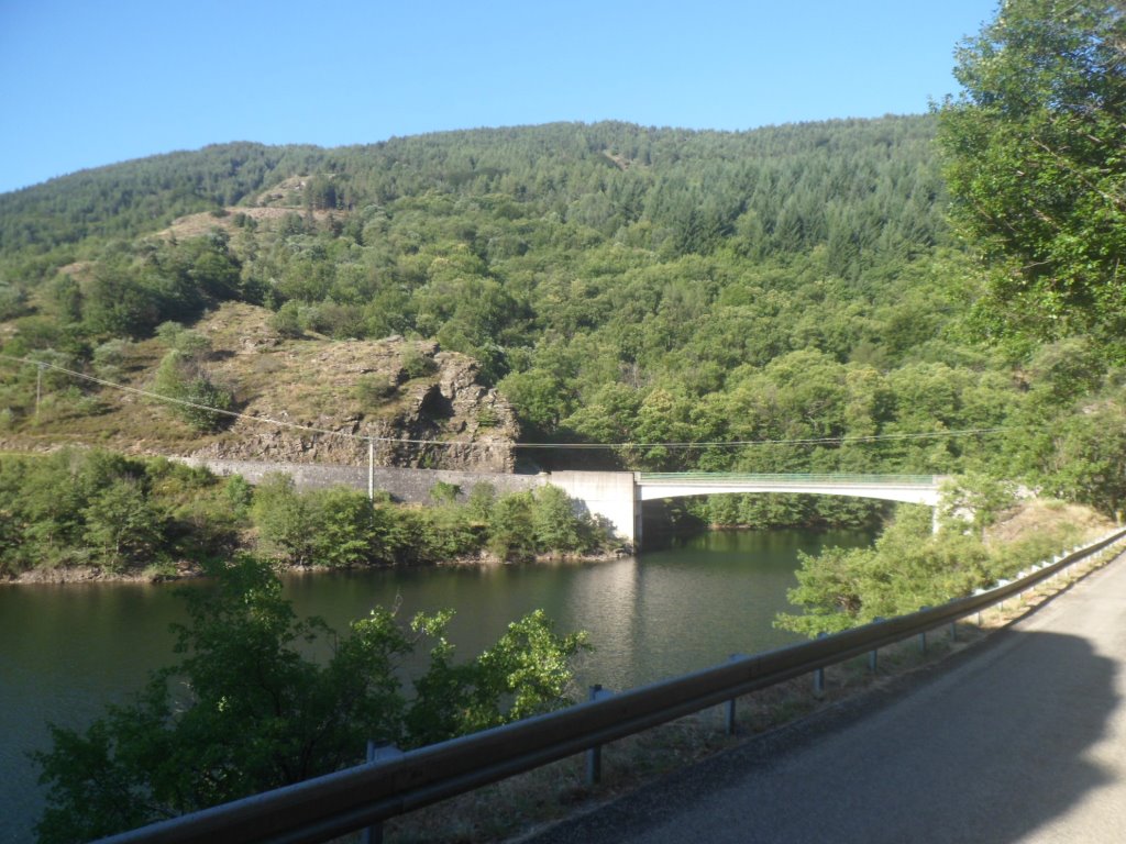
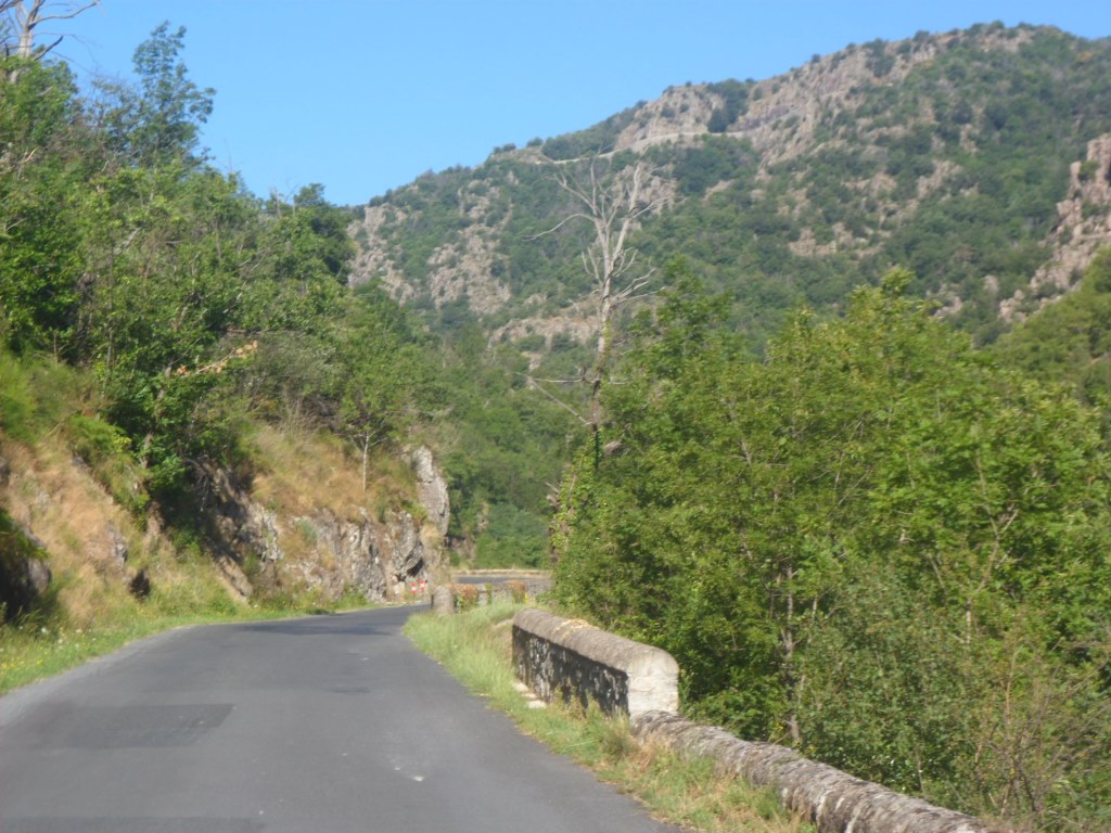
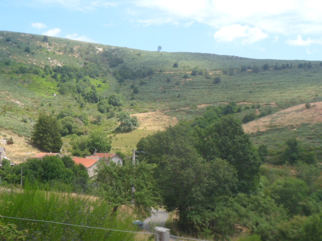
Breakfast at the earliest possible time (last evening Philippe was not amused, well, he acted as if), with coffee, cereals, bread and a wide choice of confitures. And then a beautiful day in a beautiful environment, all to myself! Ten to eleven hours of nice roads in store; the route will (have to) evolve while I'm on my way. The first hour is blissful. In 2014, when climbing from the storage lake of the Altier, I had seen an interesting curvy road following the Altier downstream and I had hoped that some day I would ride it. Today I will! I quickly leave the D906 to Villefort for the tiny D151. Between 8 a.m. and 9 a.m. it's quite fresh, since it means a long descent (which is a pity), and it's so quiet! After the first few bends the road reaches the valley of the river la Borne, on the border of Lozère and Ardêche, which it follows until Pied-de-Borne, about 800 m lower than my starting point.
|
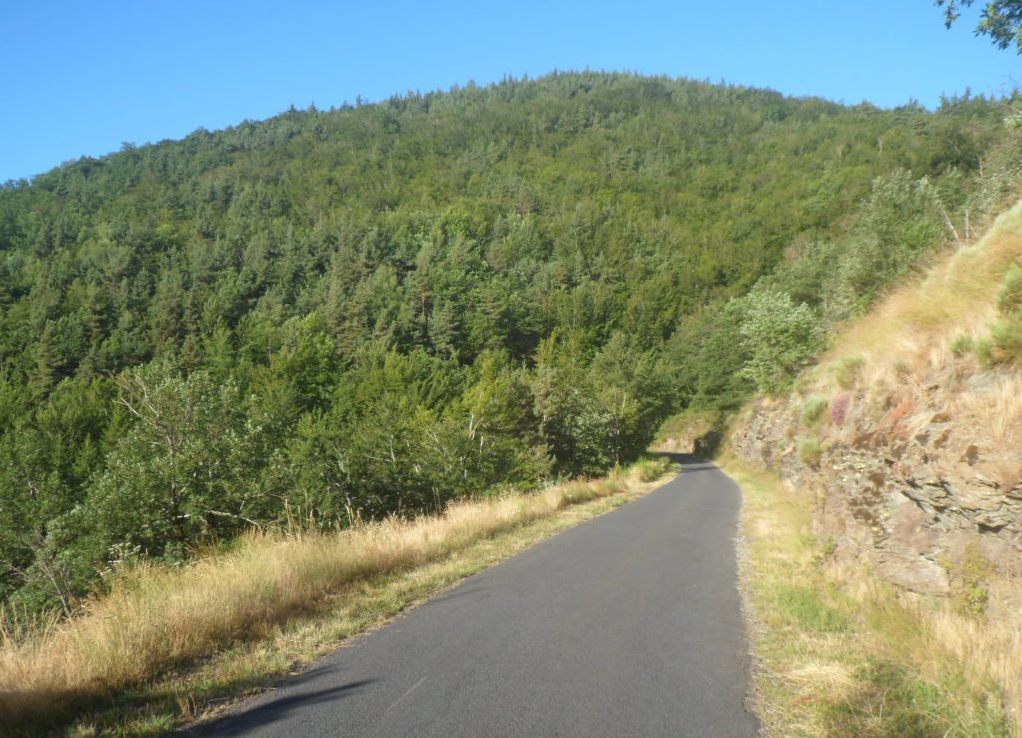
Blissful morning
|
|
Bis!
|
|
Bis
|
|
Bis!!
|
|
Blissful morning continues
|
|
Bis!!!
|
|
Bis
|
|
Sheer endless bliss
|
And 250 m lower than my next destination, Villefort. Over the section that is one of the main reasons to put up camp in La Bastide.
And it is a nice road indeed, with nice views from below onto the 'historic' road (2010 and 2014), and with t-shirt temperatures already.
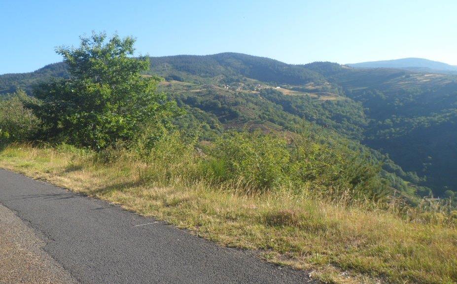
In Villefort I have a short pâtisserie break, with a look on the map for the next two hours. I decide to 'try' the D901 to Les Vans,
including an easy col (du Mas de l'Ayre), and then turn left to start regaining the altitude lost (Les Vans may well be below 200 m s.l.m.).
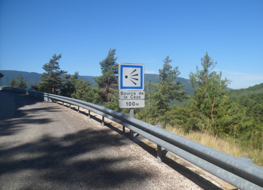
The first km is the steepest, and also the busiest. When I turn left I take in the impressive views to the south, including the D906 to Génolhac,
and I learn that I'm close to the sources de la Cèze, the river I crossed in étape numéro 1.
The climb doesn't amount to much, some six km, with, apart from the start, no km of more than 5%.
The climb from the other side doesn't look too hard either, but what a lovely descent that offers, with great views to the north (to the windmills around La Bastide?), perfect asphalt,
and no sharp bends. I have no real business in Les Vans, so shortly before it I turn left again to what seems an interesting road. It is!
I expect a long (hopefully regular and easygoing) climb, and am a bit worried about where to find a place to have lunch. At the beginning the D113 even goes down!
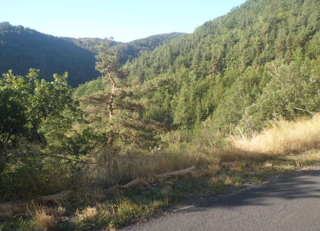
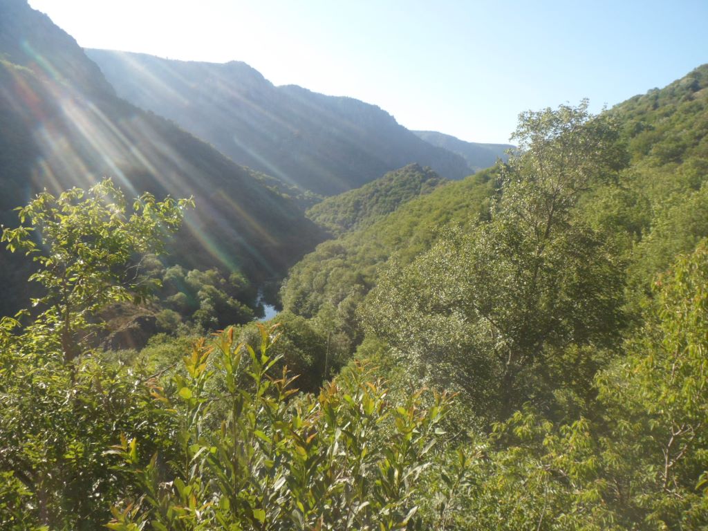
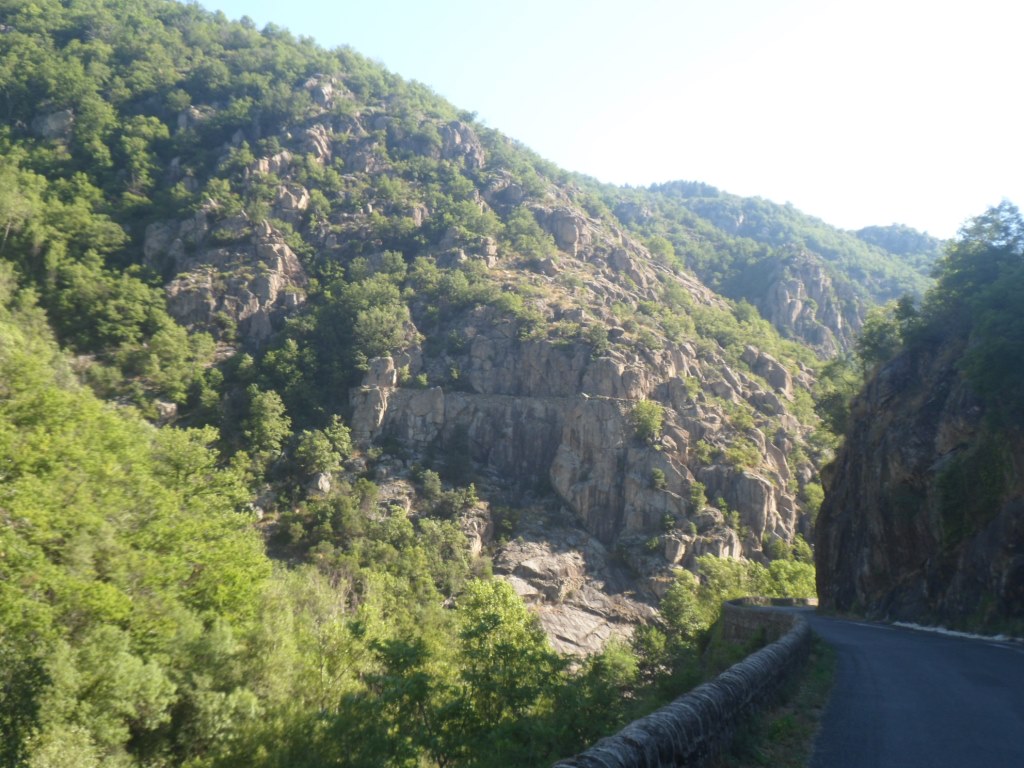
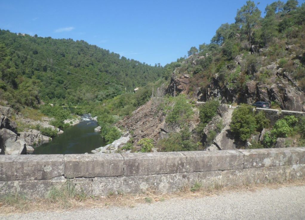
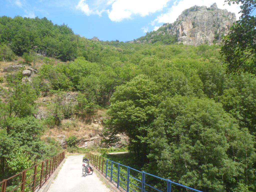
After the small village of Gravières I cross the river Chassezac, and what a beautiful spot that offers! I decide to ride on till Sainte-Marguerite-Lafigère,
which is already on the signs along the road, so must be important enough to have a restaurant. The valley/gorge of the Chassezac is very pretty. And the climb?
There is hardly any climb! In 17 km the difference in altitude is less than 200 m.
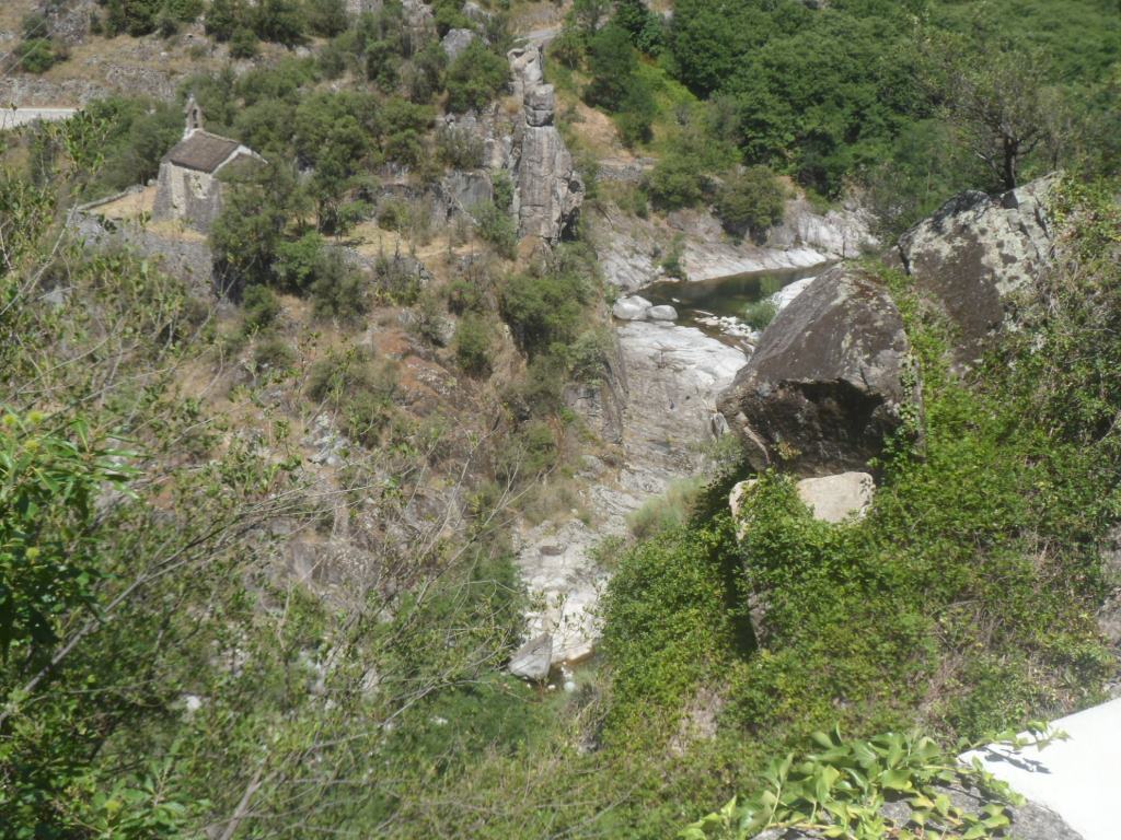
The short stretch up to Sainte-Marguerite is a bit steep, and (very) warm, and 'up there' I only find two houses and a church, and a nice view over the Borne.
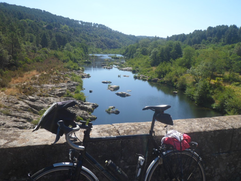
So I turn around and cross the Borne for a good lunch in La Pied-de-Borne, in the much welcomed shade of a big parasol.
|
Between La Pied-de-Borne and Villefort
|
|
Bis
|
|
Just after/above Villefort
|
|
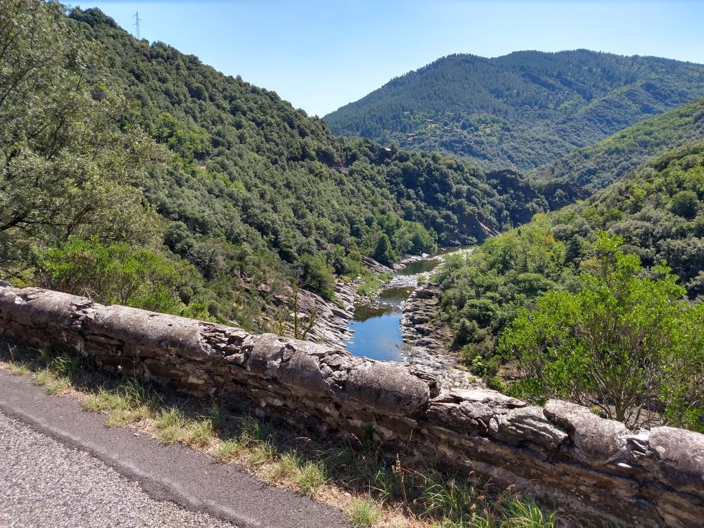
Vallée du Chassezac
|
|
Le Chassezac
|
|
Bis
|
|
Still along . . . .
|
|
. . . . Le Chassezac
|
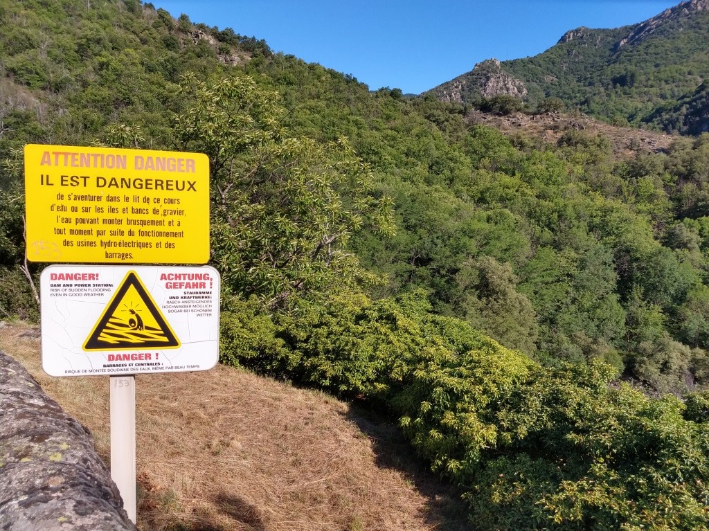
I'm advised against the road on the east side of the Borne, so 'redo' 6.5 km from the morning ride, 'regaining' 280 m, in the hope of finding a bridge at Les Beaumes.
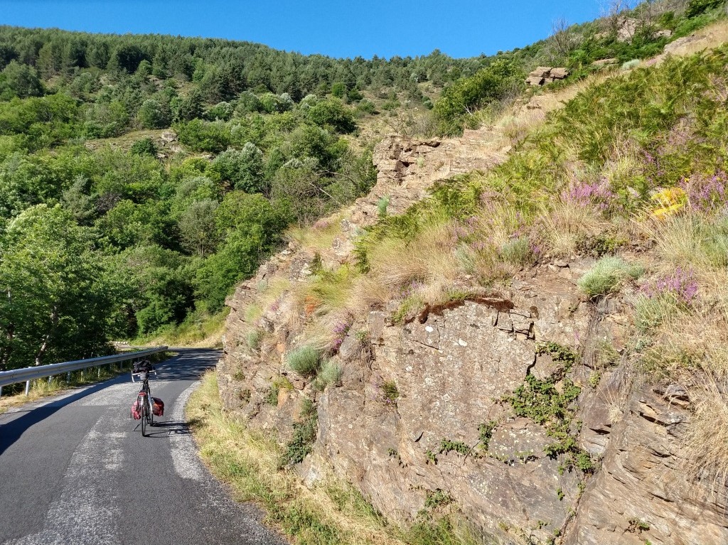
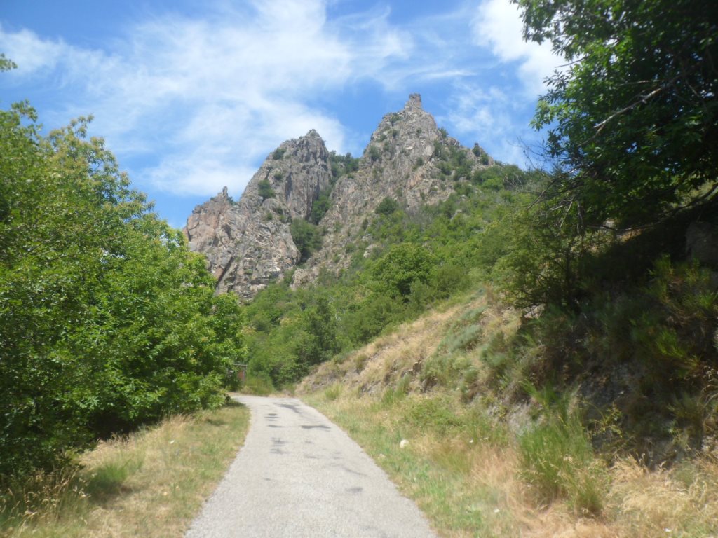
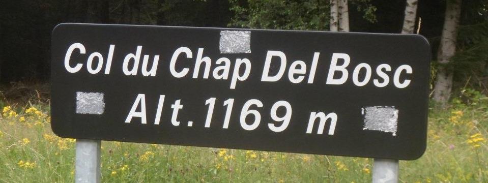
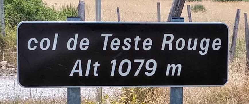
This I find, deep down. Follows an unexpectedly hard climb (over an anonymous road, classified dangereux) to Montselgues (passing the Col de Teste Rouges - not indicated by Michelin,
but quite a climb!) and a short descent to the D4.
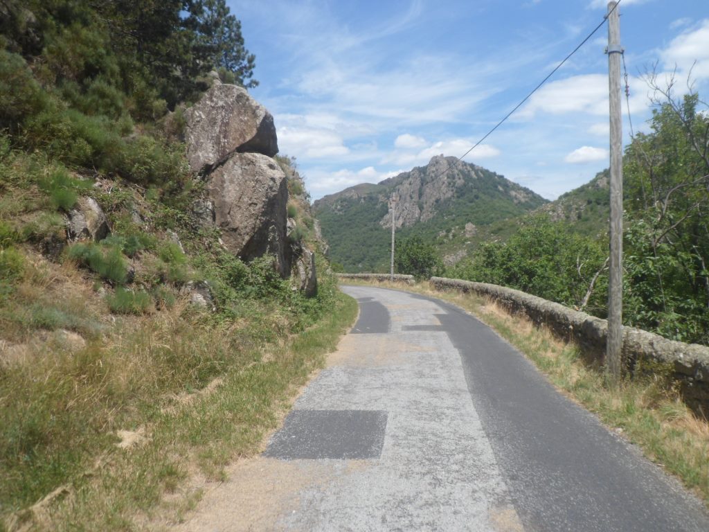
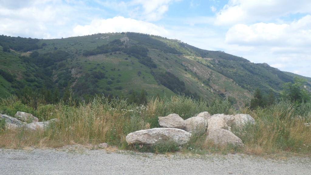
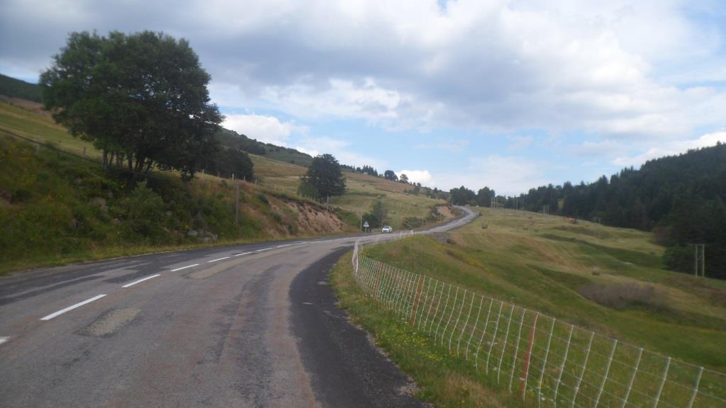
Up again, through an open landscape (a bit like around the Mont-Lozère), and a descent, over a partly newly gravelled D403 (yuck!) to Loubaresse.
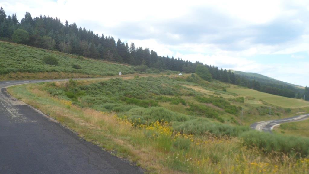
An ice cream deux boules on a terrace shared with many middle aged hikers, i.e. peers, and then the easy climb, along a slope with nice views to the south-east, to the Col de Meyrand.
With much better weather than five years ago! And also with not quite such a long way to go (against the wind).
|
View from Sainte-Marguerite
|
|
Regaining altitude along the Borne
|
|
Crossing the Borne
|
|
Gaining a lot more on the other side
|
|
Montselgues
|
|
Local maxima ;-)
|
|
View onto the road to Col de Meyrand
|
|
On the road to Col de Meyrand
|
And just for the fun I go two km east, to add the Col de la Croix de Bauzon (a new one) and in a sprint − I'm estimating the time I need to arrive at Les Étoiles well before 7 p.m.
− I also revisit the Col de Pendu, where like at the previous col I turn around at the top.
With these extra 2.5 km of climbing, Strava comes to a total elevation gain just above 3000 m. That's not too bad! I 'hurry' down, to the D19,
to Saint-Étienne-de-Bugdares, to Langogne, and then it is clear that the desired arrival time is well within reach.
|
Road to Col de la Croix de Bauzon
|
|
Road to Col du Pendu
|
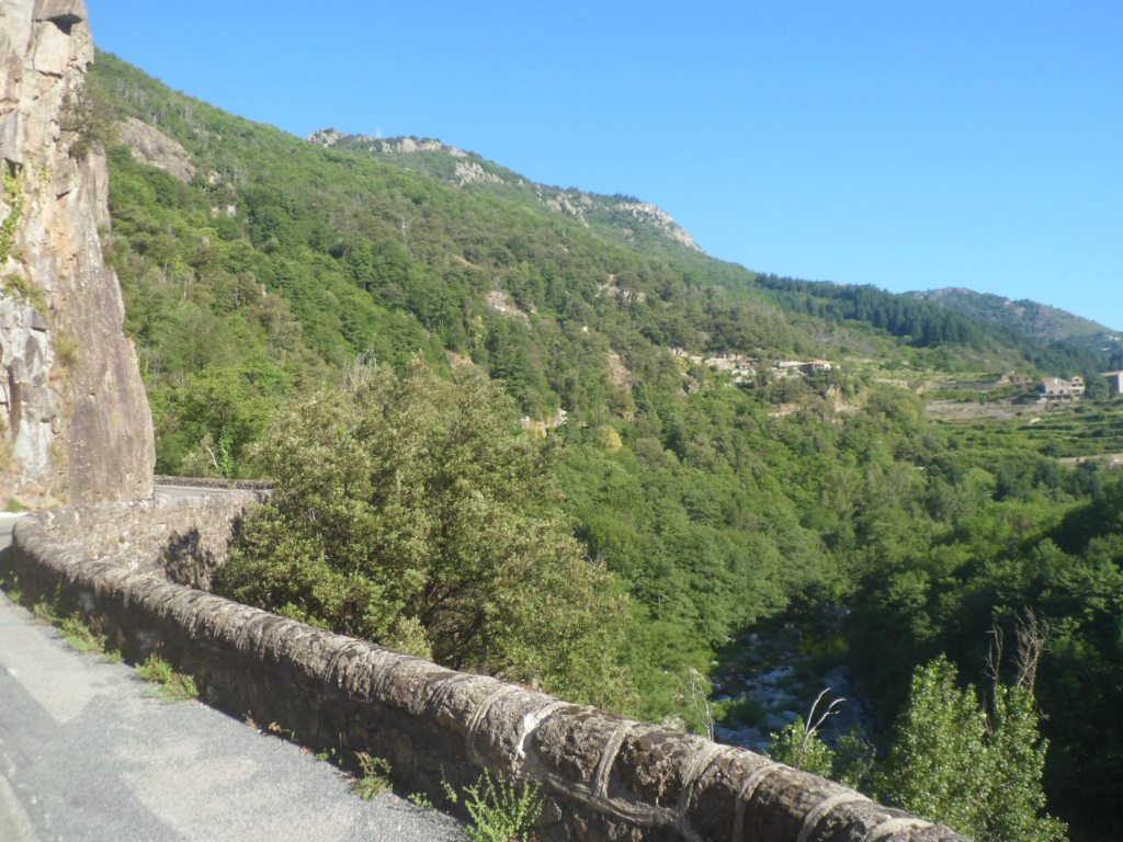
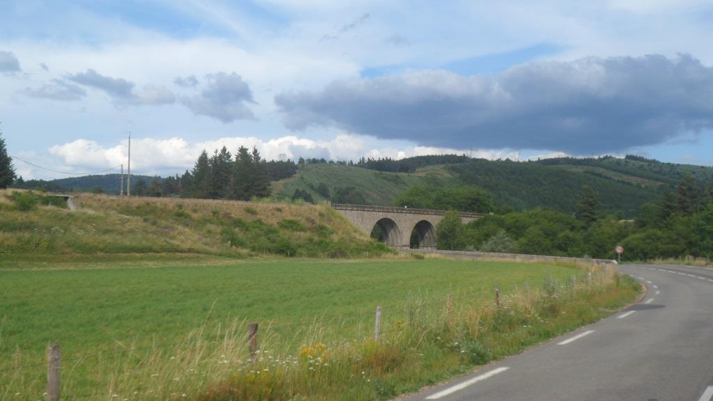
So with still some pressure on the pedals, rather tired, but rather relaxed as well, I count down the the last 20 km over the D906, that one again, to La Bastide.
Some fruits (and chocolate?) in a grocery store, and another Leffe in the maison des hôtes. Quite a good day!
Some small talk with a French couple that occupies the other room on the third floor, and another repas copieux et délicieux prepared by cook Philippe.
Good job, Philippe, and a good reason to recommend this place to my friend Remco, who will be coming to the Cévennes in August.
|
Full speed ahead on the D906
|
|
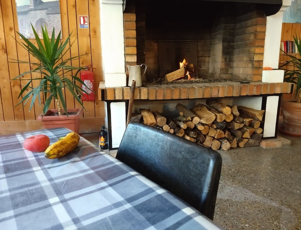
Gîte chaleureux
|
|