|
23-07-2018 Séez − Bonnenuit (Valloire) 143 km
Séez − Col de l'Iseran − Bonneval-sur-Arc − Lanslebourg − Saint-Michel-Maurienne − Col du Télégraphe − Valloire − Bonnenuit
The first of two hard, fully packed stages. Daughter and Dad have indeed already left when I enter the breakfast hall. I grab what I need and before 7:30 mount JJ. My earliest start.
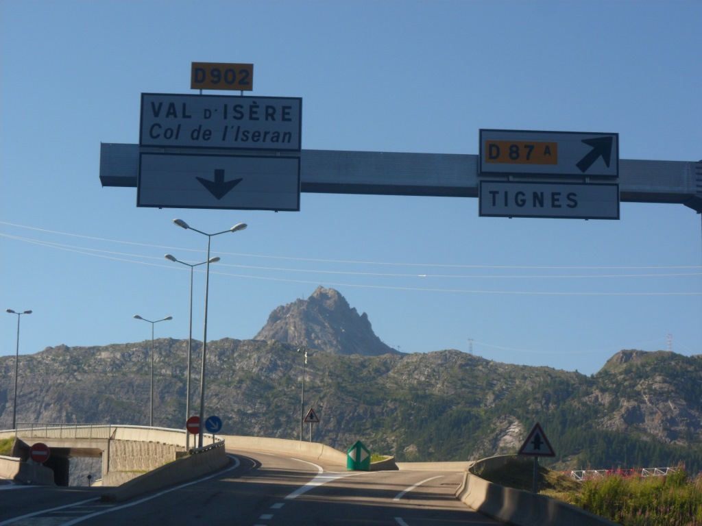
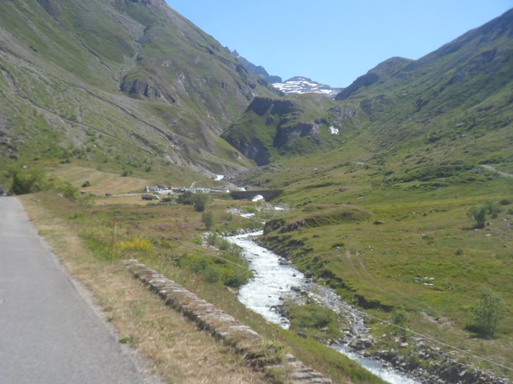
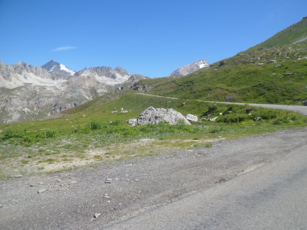
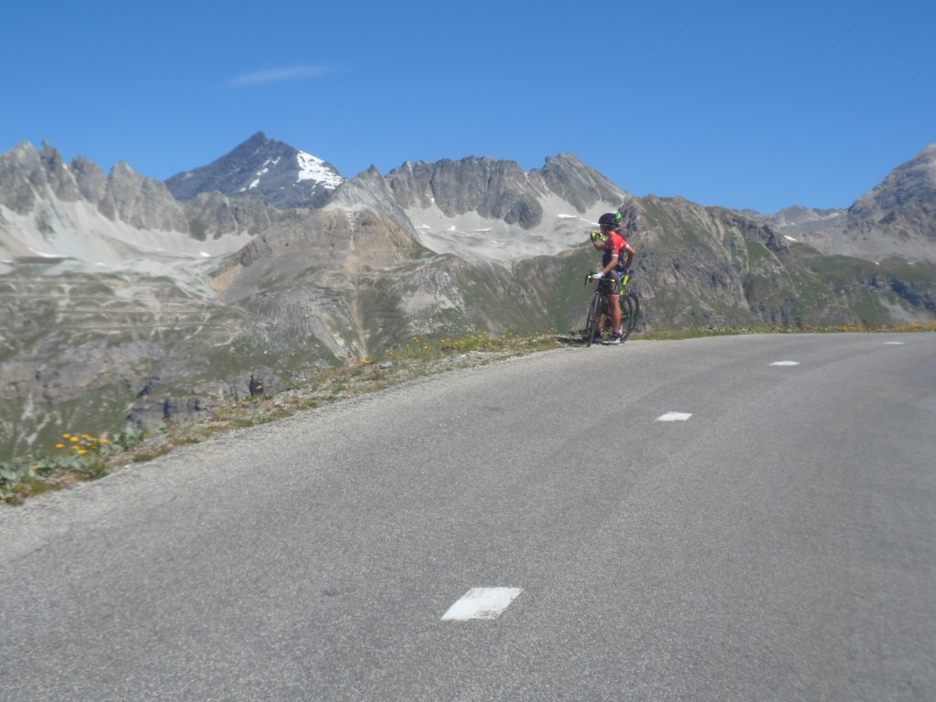
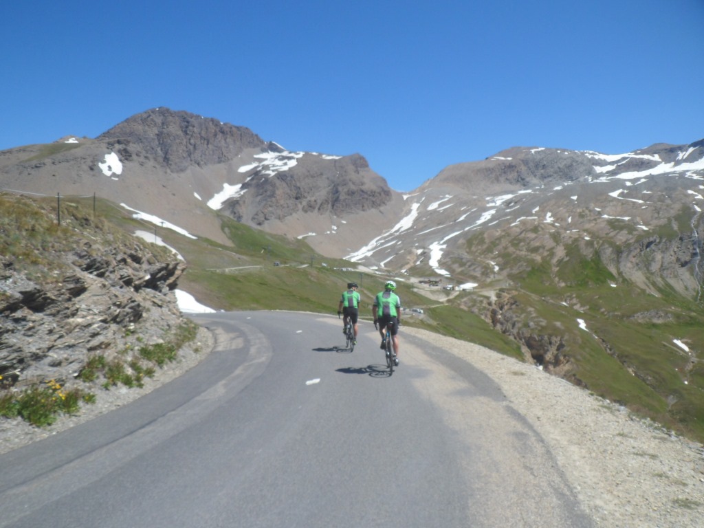
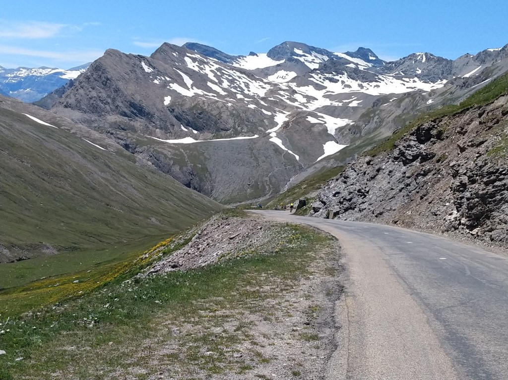
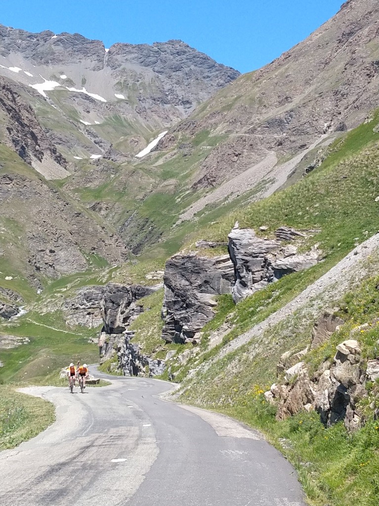
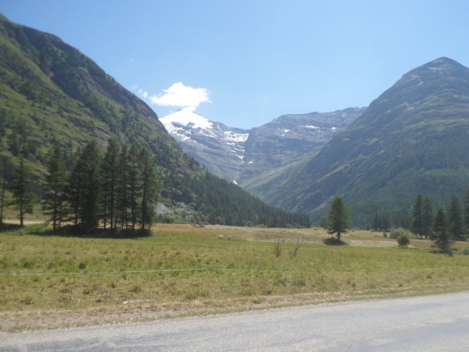
I fear the cars and also the hardness of the climb, mostly the first half. It's been . . . . 30 years (!) since I attacked the Iseran last from this side. I cross the Isère and turn right for the longest climb of this tour. Which begins with a flat section of about 5 km. Looking at the percentages it's not that bad, though I remember a steep part around Sainte-Foy-Tarentaise. The cars, especially the camions are annoying: Noisy, stinking and even a bit dangerous; every now and then they cue up. I find it awful and I'm afraid this won't get any better until the junction at the Lac du Chévril. Cycling wise it's okay, around Sainte-Foy it's not that hard, and I take care not to overexert myself. I also remember my impatience near the end of this first 15 km part to reach the dam/crossroad leading to Tignes, from where there will be a pause, climbing wise, till Val d'Isère. Some three km before the dam I pass father and daughter. Ouch! They don't have light enough gears; they really have to push their pedals. However, it seems they keep up the good spirit. I severely doubt though whether they will make it all the way to Saint-Michel-de-Maurienne today.
|
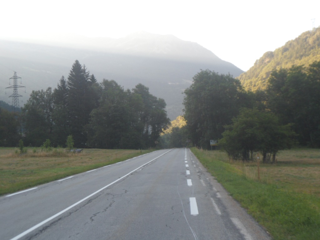
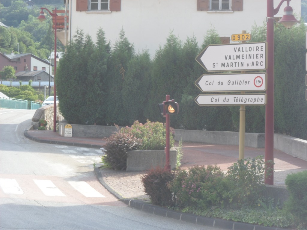
Early morning, D902
|
|
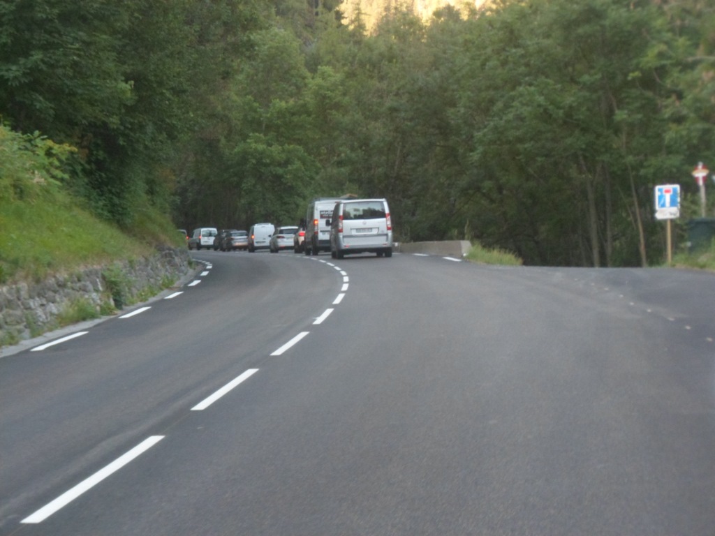
Already quite busy 😒
|
|

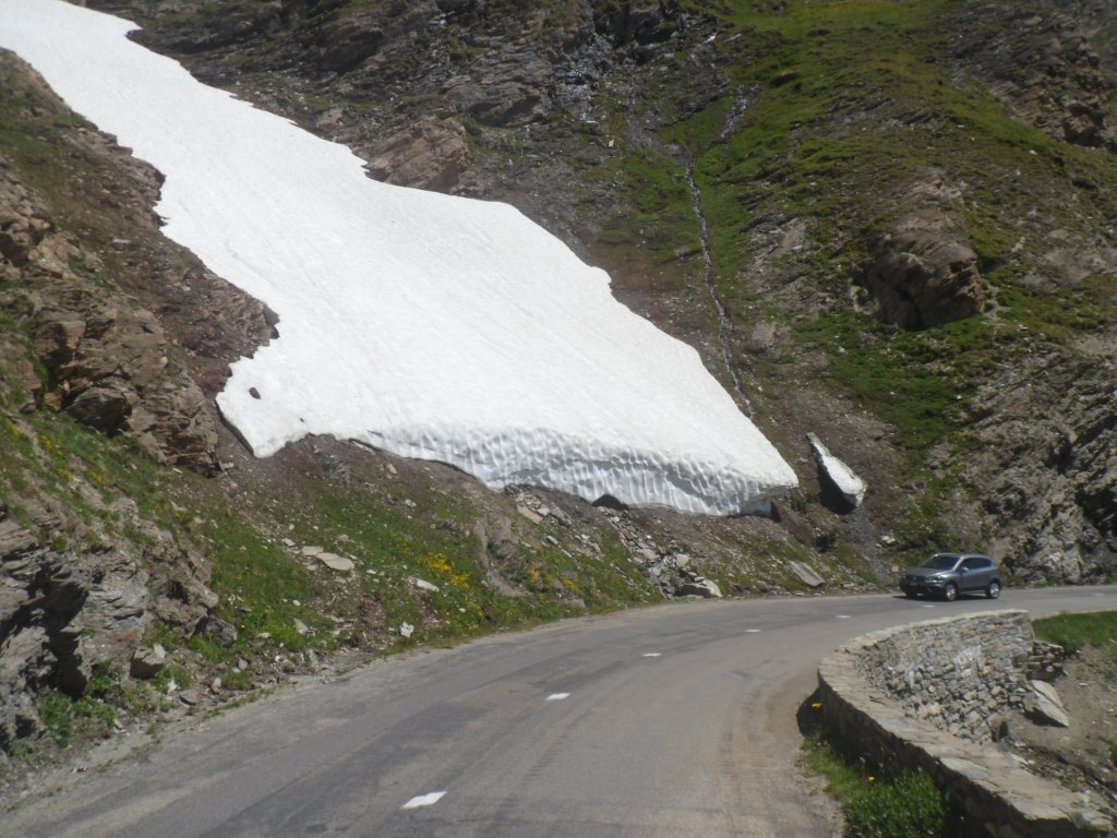
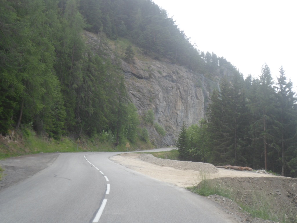
Long, long climb
|
|
Bis
|
|
Father and daughter,
|
|
End of phase one
|
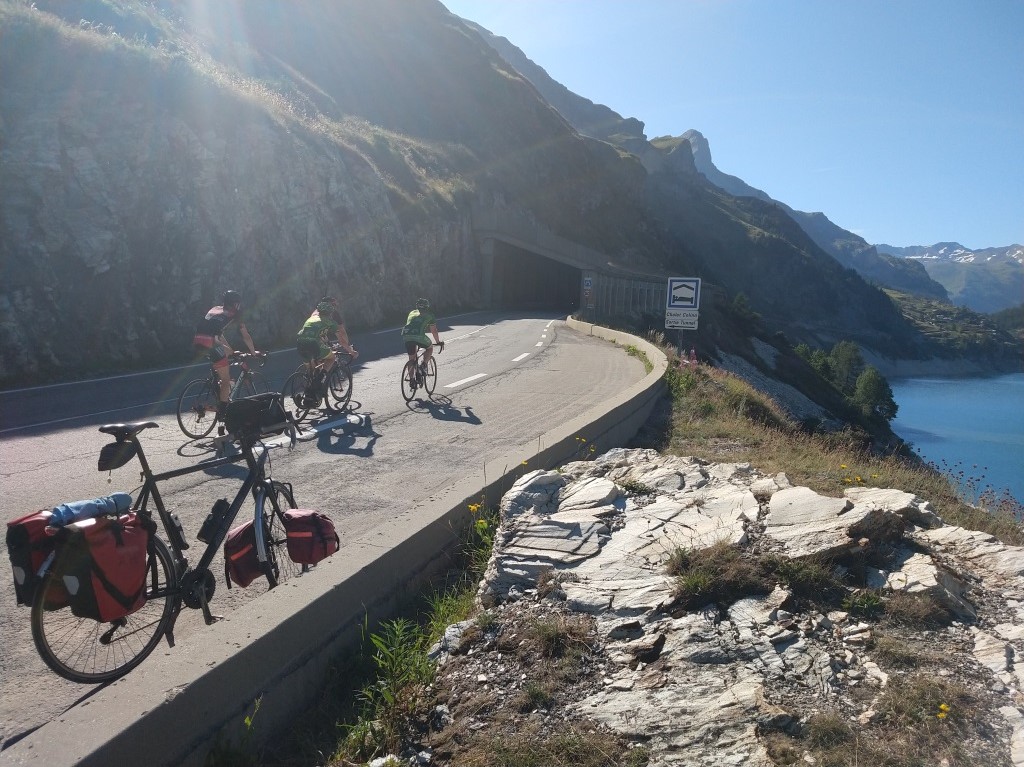
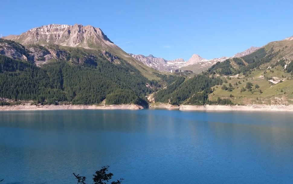
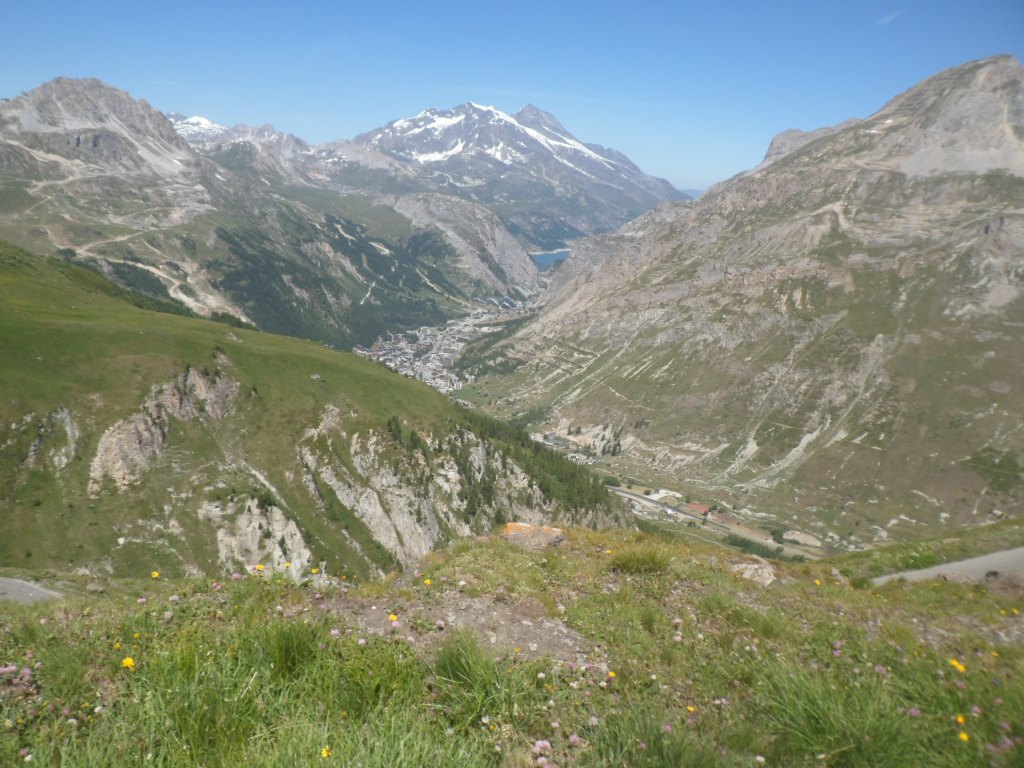
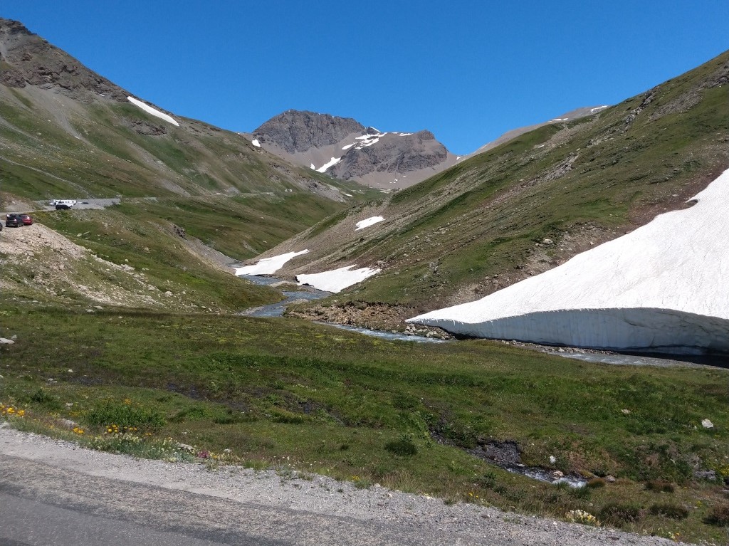
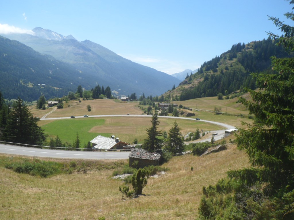
Without any pain I reach the first of the tunnels. The lake is very blue, my spirit is good as well, and the nine easy km to Val d'Isère (the road goes up only 100 m) with all the tunnels is at the same time thrilling and slightly dangerous. I remember a story (in Le Châtelard in 1985) of a Dutch guy whose 1984 tour ended in a bend in one of these (in those days unlit?), tunnels. So with an elevation gain of 1000 m in 31 km I reach the famous ski resort. With an ample selection of restaurants, from which I choose the one with the most bicycles parked in front.
|
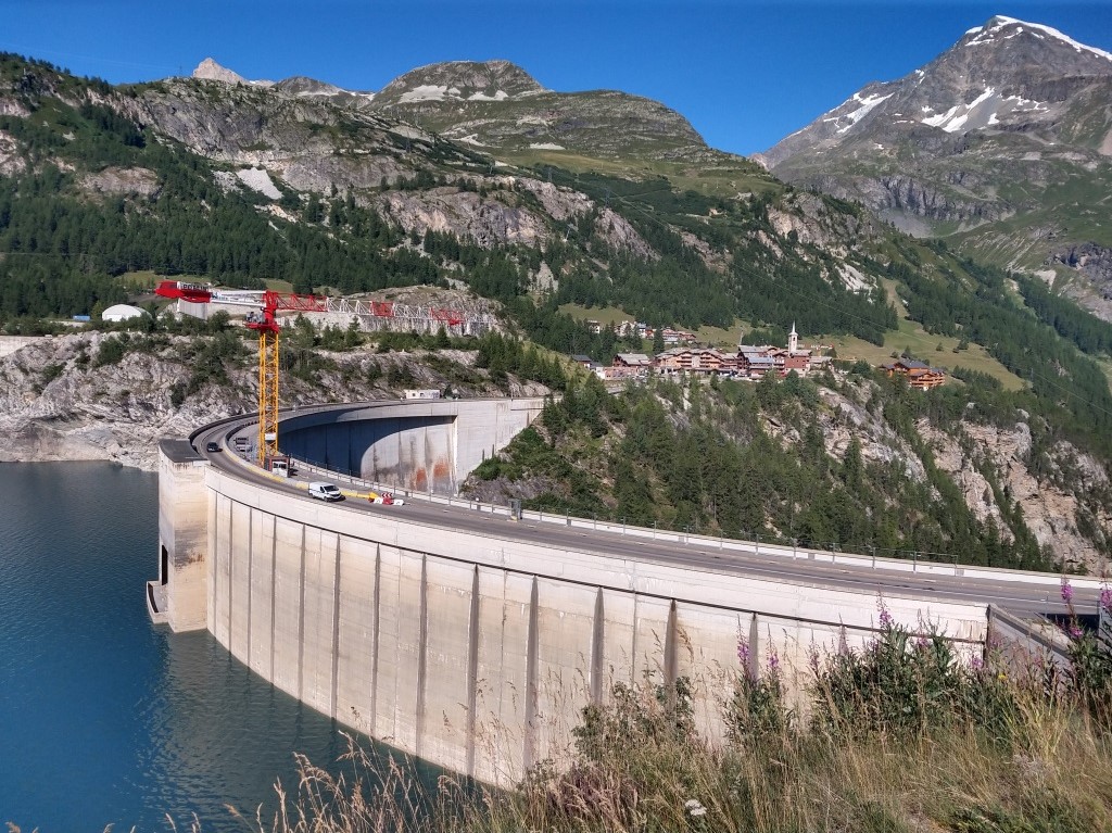
Lac de Chévril & the dam
|
|
I'm not alone
|
|
Lac de Chévril & Tignes
|
|
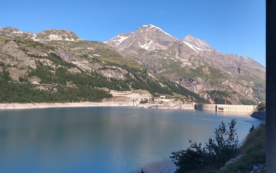
Lac de Chévril & the dam
|
|
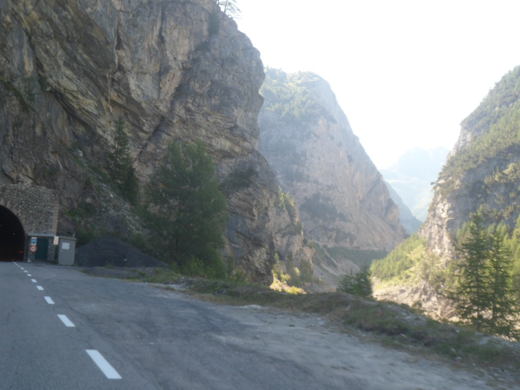
Last tunnels & nice gorge
|
|
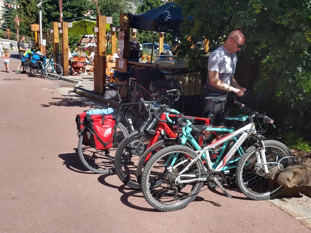
Bicycles (And sunny terrace)
|
|
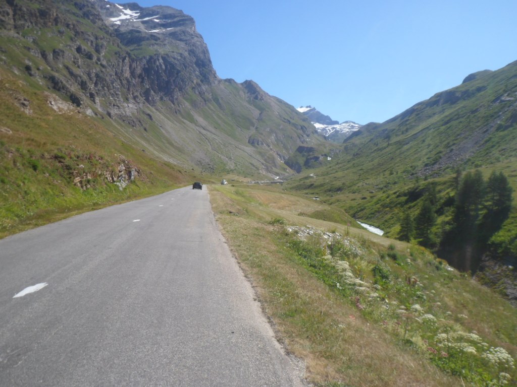
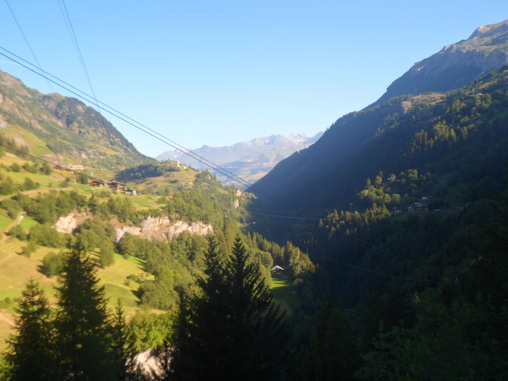
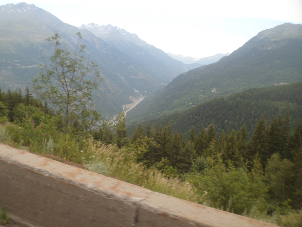
Next phase, along the Isère
|
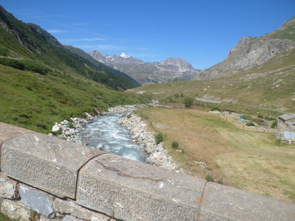
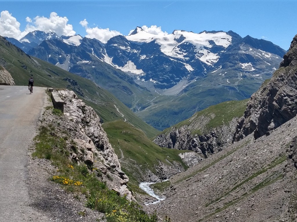
And join a Swiss tourer, a funny guy that travels without any maps. We chat along comfortably enjoying the sun, the coffee and the cakes. Just when I'm about to leave 'the two' from the youth hostel arrive. The second half of the climb, another 15 km à 6 % are far more agreeable than the first. The landscape is grandiose, the road is smaller and there are much fewer cars (and no more vans). It's a good climb for fully laden cyclotouristes, e.g. for me. The views to Val d'Isère and the Lac du Chévril get deeper, the weather is perfect, t-shirt all the time. There's this building high up which once I mistook for the small bar/shop at the pass, and km by km, bend after bend, I get to the top. As have done many others, one of whom immortalizes me with my camera.
|
Turning point: Pont de Saint-George
|
|
View back from the Pont de Saint-George
|
|
And up I go!
|
|
Up & up
|
|
& up & up
|
|
Last view of Lac de Chévril
|
|
Up & up
|
|
I'm not the only one making pictures
|
|
Quite hard, but having fun
|
|
& up & up
|
|
& up & up
|
|
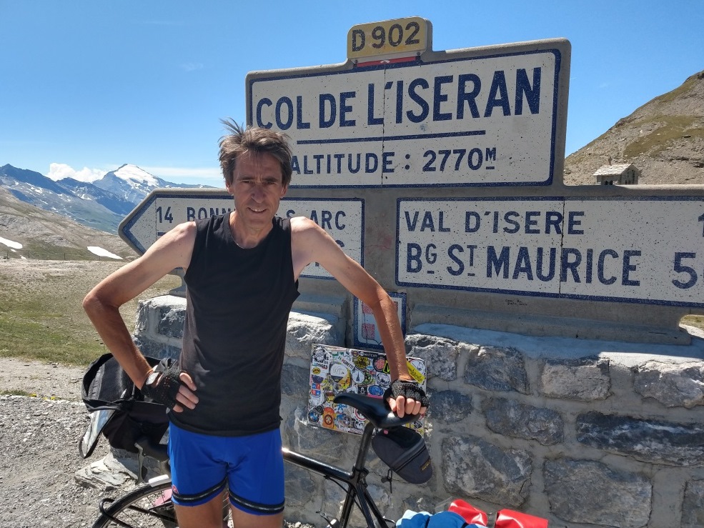
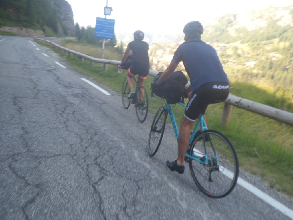
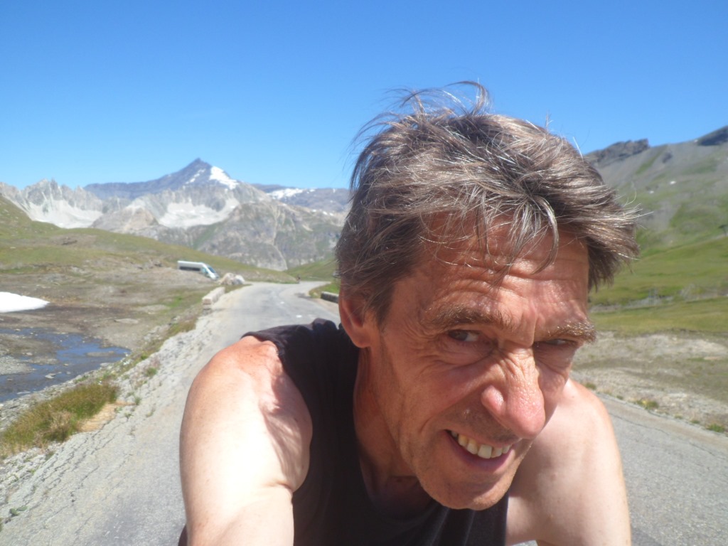
And there I am, tenth time around
|
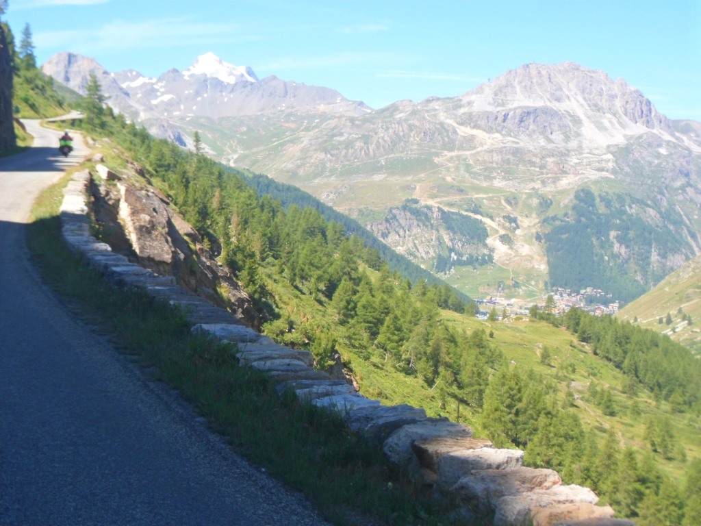
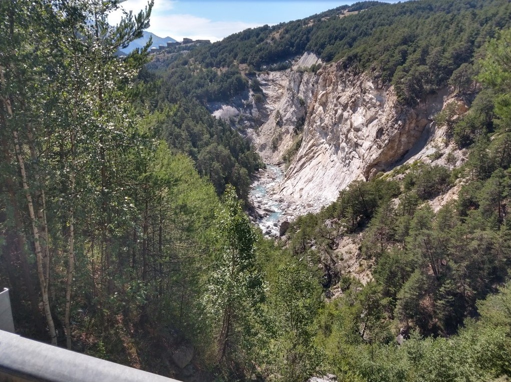
I'm on the route of the Tour's stage of July 26, and on the other side several fans have already parked their caravans to watch the peloton. So in the beginning I have to take some extra care. The descent to Bonneval: It's one of my favorites (as long as I don't have to do it in the rain, as once, in 1989). The glaciers, the beautifully laid out road, the view over Bonneval, . . . . It's a pity these 13 km pass so quickly (though again never at a speed above 60 km/h, not even on the two long straight sections at the end).
|
Start of a
|
|
glorious
|
|
descent
|
|
Quel panorama
|
|
(Other) Father pushing daughter
|
|
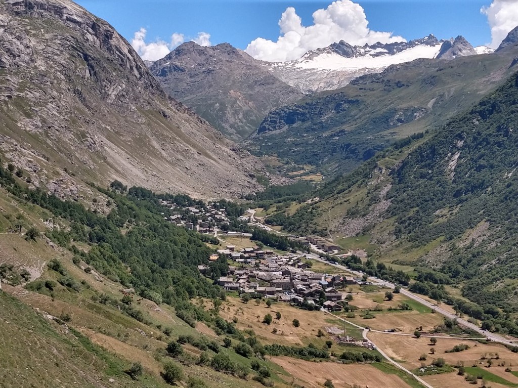
Bonneval-sur-Arc
|
|
Just after last hairpin bend
|
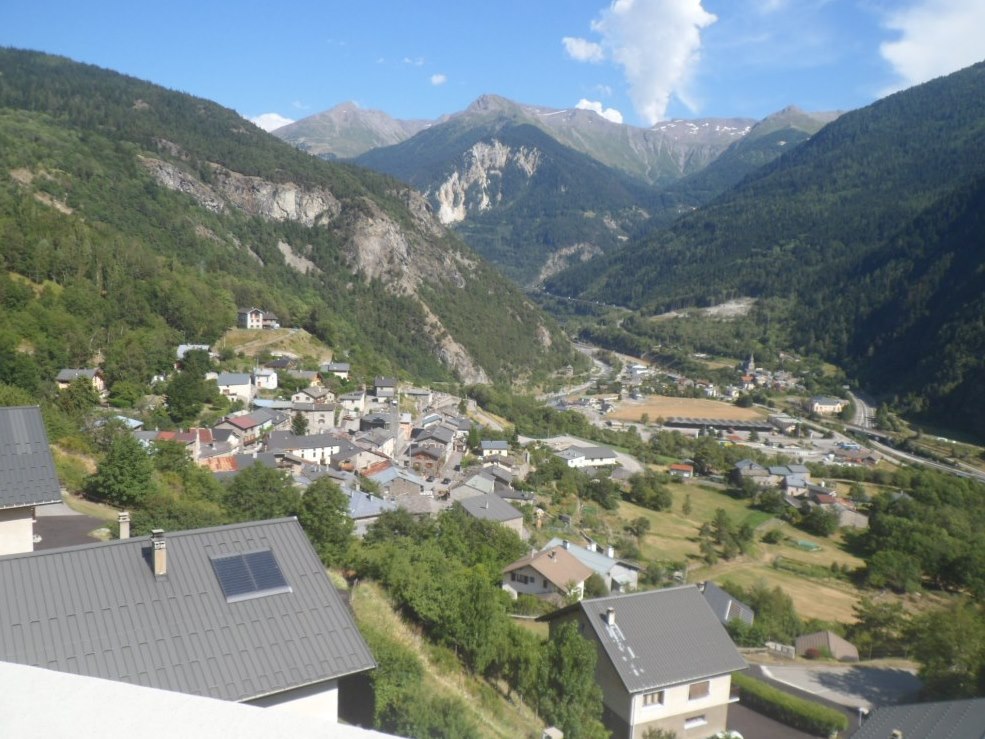
Bonneval is bathing in the sun; it might be 30 degrees, at an altitude of almost 1800 m! I find a sunny table on a sunny terrace, order a salade Niçoise, and have a funny encounter with three German peers that have been granted three days off from the campground by their spouses. One is stung by a wasp and burns his skin to avoid an infection (?)
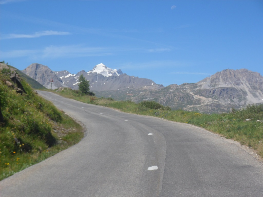
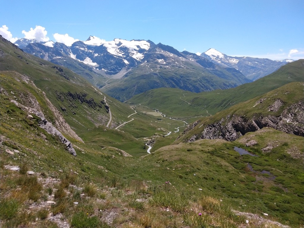
Next: Another 1000 m to descend, in 62 km, along the Arc. I had estimated this episode would take me about 2.5 hours, where I did not take into account the strong headwind that hinders me today. Hinders me greatly, making the étape even harder than it already was. And the road is not going down all the time. First there's the 'small' Col de la Madeleine (which feels harder than the mere 60 m I have to get up), then there's a bigger 'bump' around Arvieux, and how beautiful the valley/gorge of the Arc is there − but alas, how hard the wind.
|
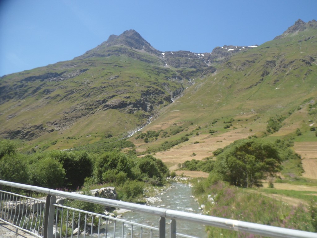
The Arc
|
|
On my way to the petite Madeleine
|
|
Descent from the petite Madeleine
|
|
Beautiful ride along the Arc
|
|
Arvieux
|
|
Lowest point of the day (715 m)
|
In Fourneaux I cool down in a supermarchée and stuff me up with sugar and coca cola. I'm overheated and close to exhaustion. I ask around what more's in store till Saint-Michel and to my horror learn that the road is closed, for cyclists. Cars are allowed on the A43 (péage) for free, but for cyclists there's an alternative route (including another climb!) via Saint-André.
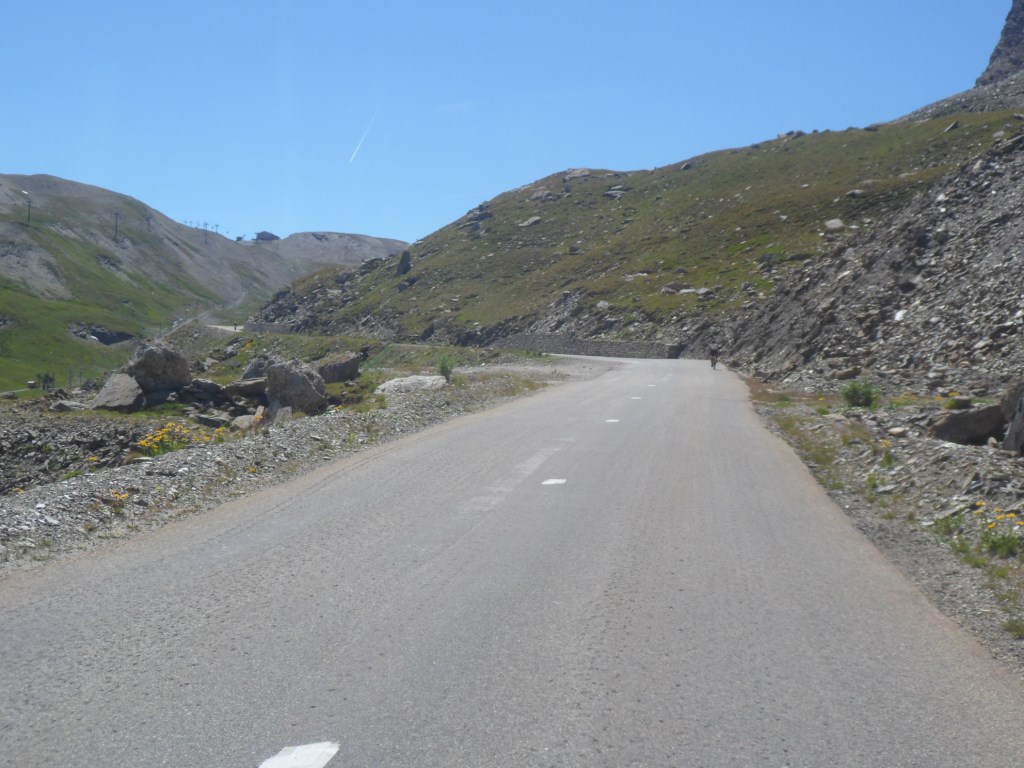
Hell! The detour is not nice, but luckily after that the road to Saint-Michel is going down indeed. In Saint-Michel I need another break, well, rather need to buy some eatables, and I phone 'them upstairs' that I hope to arrive around 8 p.m. Which is okay. I cross the Arc, where the countdown to the Col du Télégraphe (12 km à 7%) commences. I want to have done one third before I address the eatables, which I manage to do at a conveniently located picnic table. I have exchanged the wind for a climb, but am not unhappy about that. I am a bit worried though that 8 p.m. has been too optimistic. I don't enjoy the environment too much; the road is mostly in the woods anyway. Well, as long as the speed is 9 km/h,
and on average it is, I'll get there.
|
Slowly going up
|
|
. . . . to the . . . .
|
|
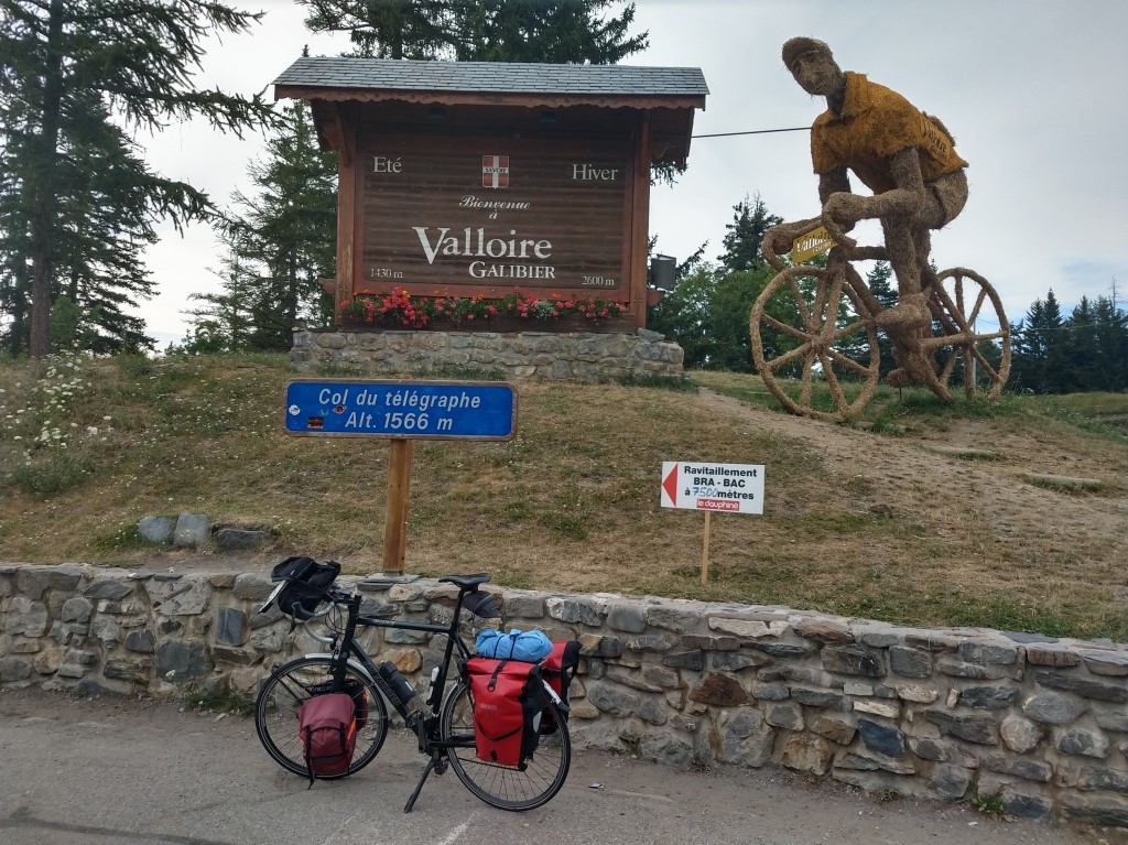
Col du Télégraphe
|
|
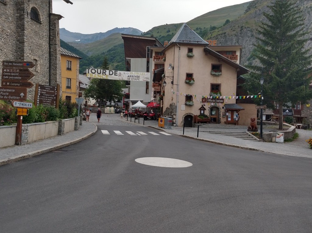
Valloire one day before the Tour arrives
|
|
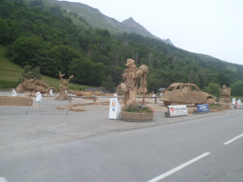
Spectacle pour le Tour
|
|
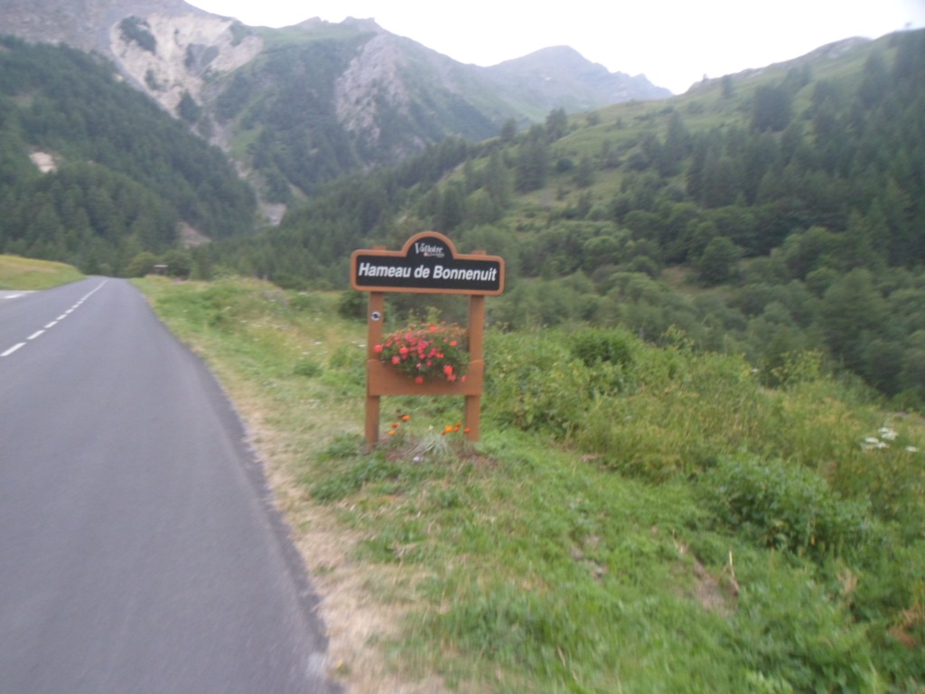
Bonne nuit à Bonnenuit?
|
|
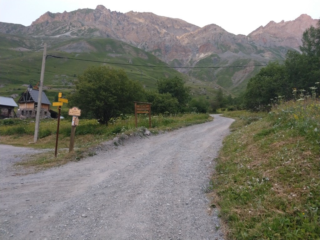
Piste non-cyclable
|
|
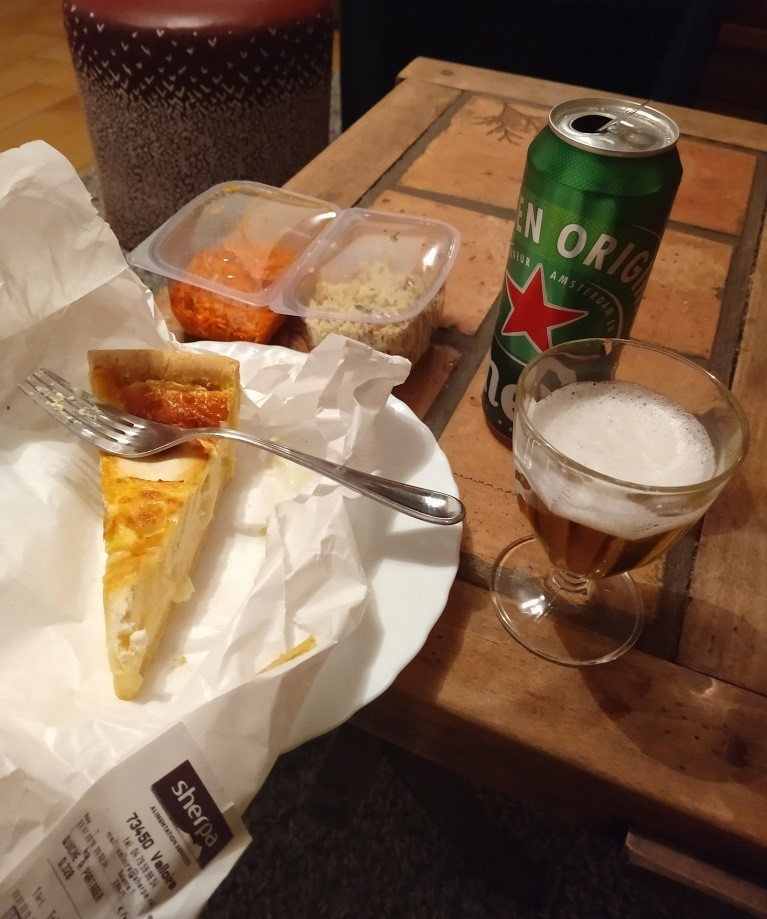
Instant food
|
|
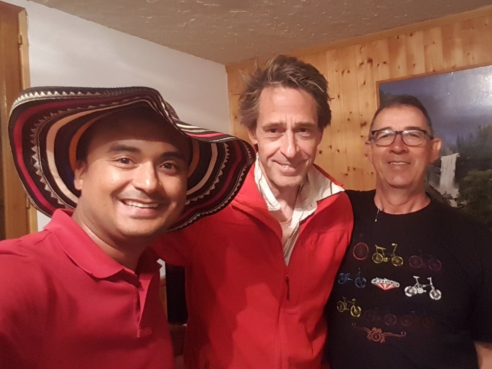
With my Columbian 'friends'
|
'There' means Valloire, which I reach around 8, and as I'm not sure about the restaurant that is supposed to be close to the gîte, and also it is quite late (like in La Clusaz), I buy some stuff (taboulet and savory pie) for dinner. The last 5 km are just hard. I thought the climb to the Galibier really starts at Plan Lachat. Well, the first km out of Valloire is very steep! Then it flattens off indeed, but I haven't much energy left. I phone a second time when I see I have missed a call. The last three hundred meter, I give up: Over the steep and gravel sideroad to Bonnenuit I have to walk. So I arrive as late 8:30 p.m. But hey, according to Strava I climbed almost 4000 m, and what with the wind! At the place I immediately feel at home. The owner of the gîte is friendly, one of the other guests, a nice woman, offers me bread (and more, would I have wanted it, but I have too much food already). A little later two Colombians arrive, uncle and nephew, cyclists and fans of the (Colombians in) Tour de France. They join me as I fill myself up sitting in a nice soft sofa. It's fun to practice my Spanish (which pleases them even more!).
|
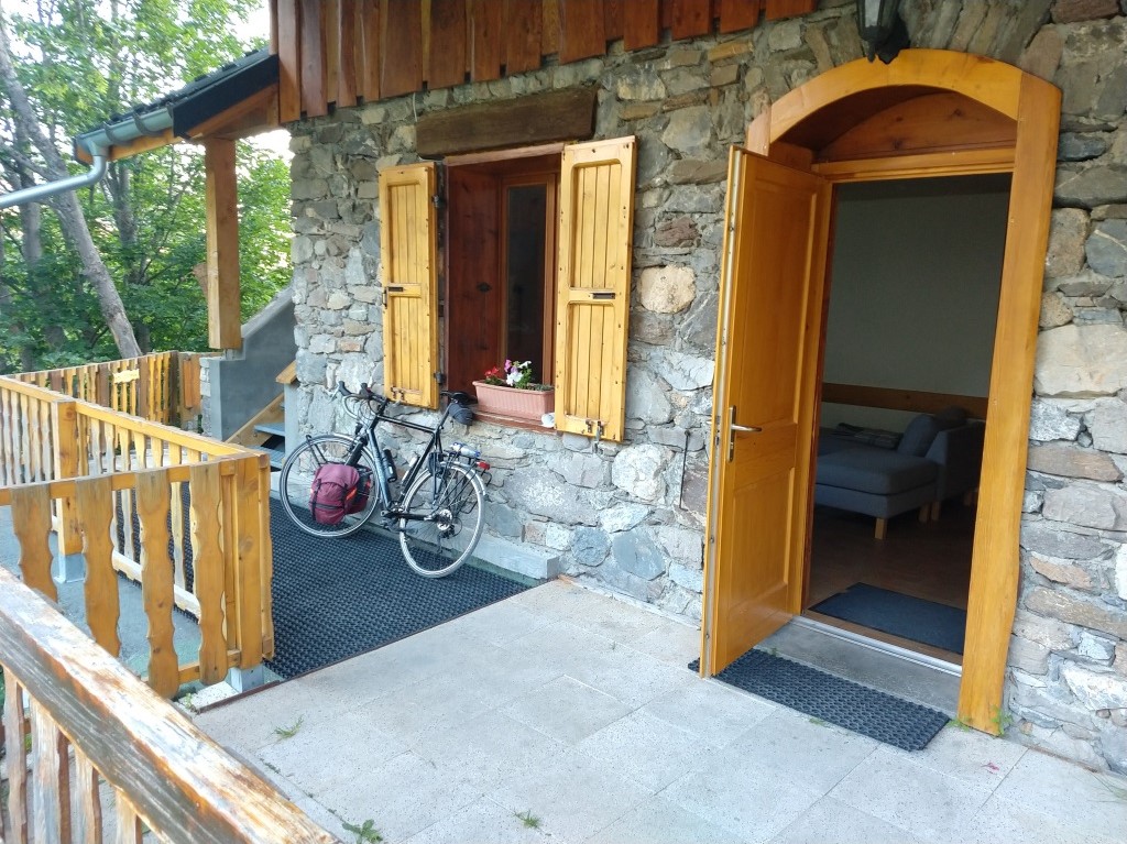
JJ sleeps outside on the porch
|
|
|