|
25-07-2018 Jausiers − Jausiers 126 km
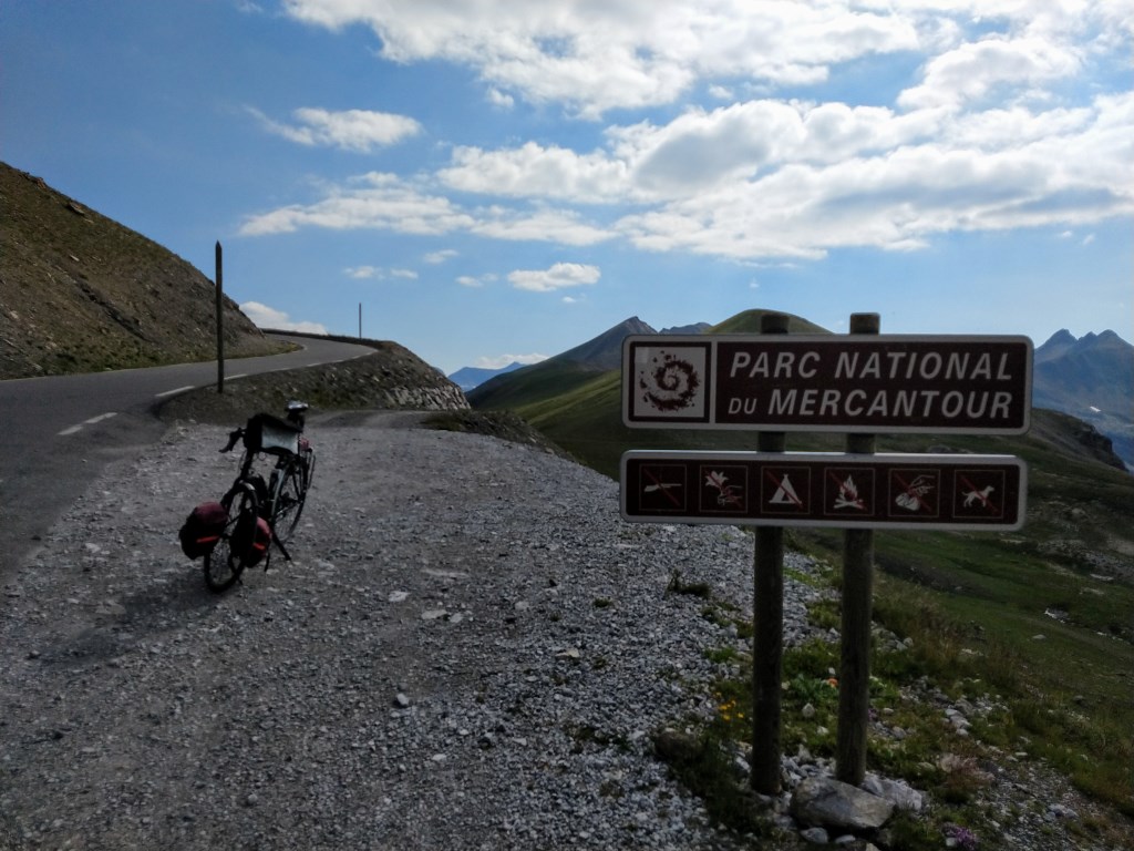
Jausiers − Col de la Bonette − Saint-Étienne-sur-Tinée − Col de la Moutière − Jausiers
Breakfast at 7:30 a.m., let's take it easy! My last day trip without luggage.
My roommate of yesterday has taken the early start he announced yesterday, so I move my croissant and napkin to the table of a uniformly and professionally attired cycling couple from Allevard (Chartreuse).
He (Jean-Pierre?) has started cycling after his retirement, is 75 years of age, 21 years older than his second wife (Françine),
and the last two years she has 'passed' him as regards cycling speed and endurance.
I must think (and tell them) about my father who, at the age of 92, to his regret had to stop cycling two months ago.
A combination of limit balance and slow speeds and diminishing physical condition led him to this hard decision.
We chatter along cozily, where Jean-Pierre talks more than Françine and me together. Today they will ride up to and down from the Bonette.
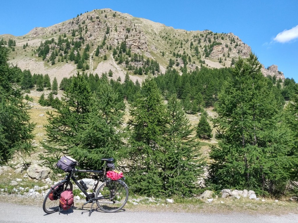
I have reduced my overzealous plans for today to two hors catégory climbs.
After consulting several people it seemed unwise to descend from the Col de la Moutière to Bayasse to possibly include a revisit to the very very beautiful Col de la Cayolle.
For that I definitely should have started earlier. Now I have an easy, very quiet, very regular ride up to Europe's highest pass. Easy, since unlike in 2008 and 2014 I don't have to carry all my stuff.
Quiet, possibly because many people have stayed 'downstairs' to see the Tour pass by
(today's étape is a ride from Embrun, via Jausiers and the Cols de Vars, d'Izoard and Galibier to Valloire).
|
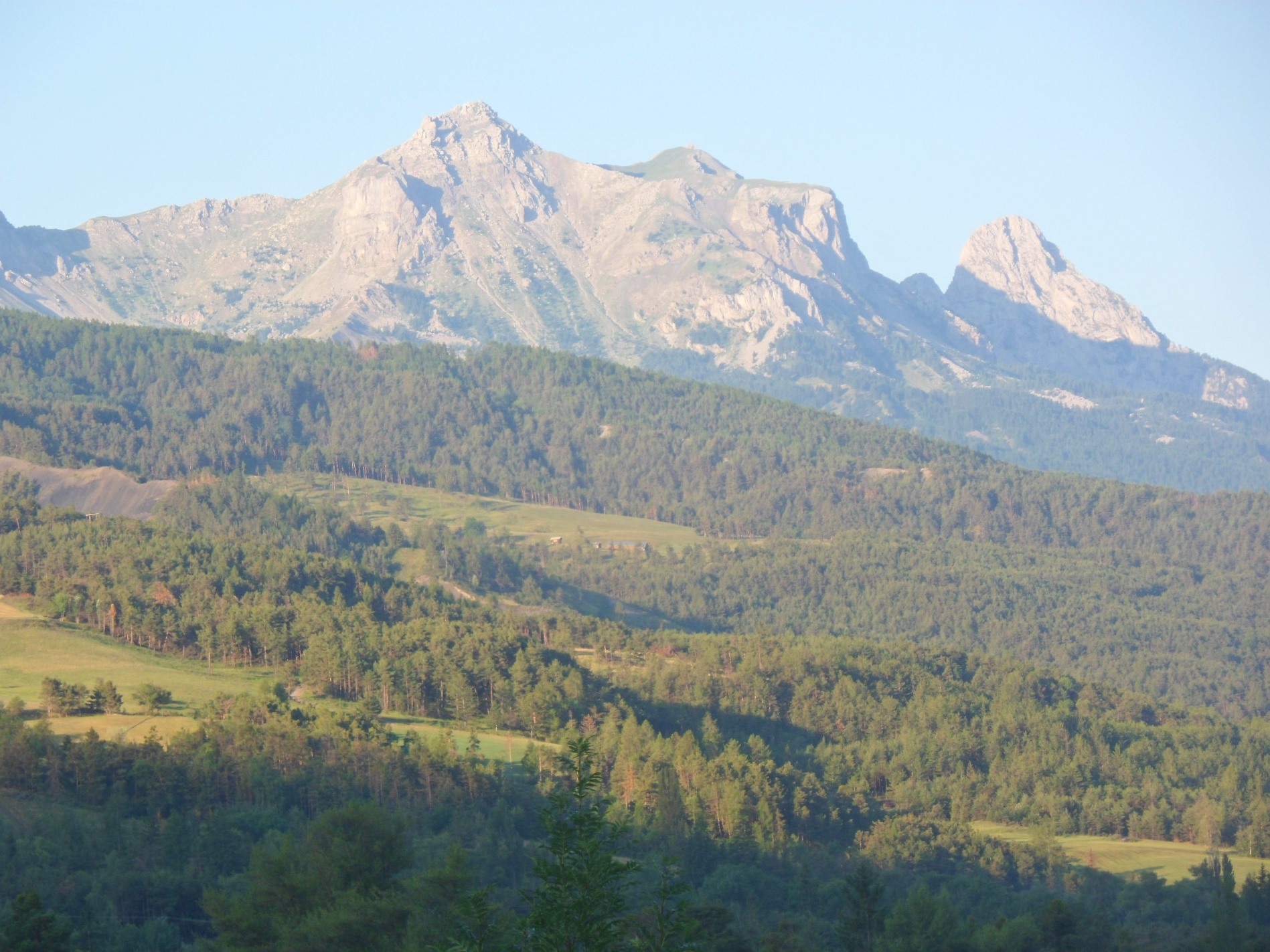
Sunnier view next morning
|
|
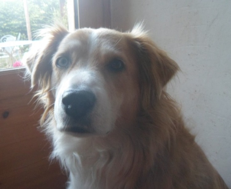
Cuddly dog
|
|
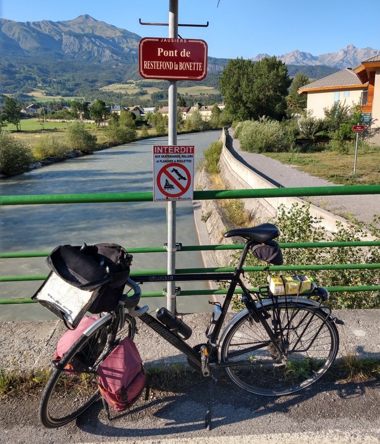
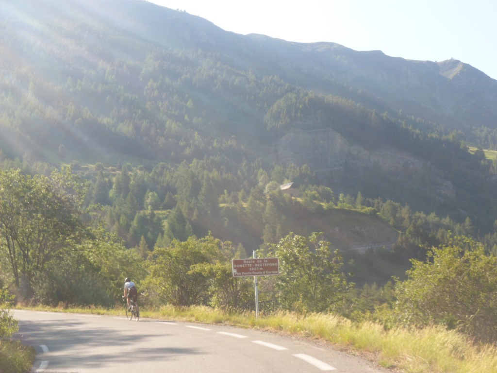
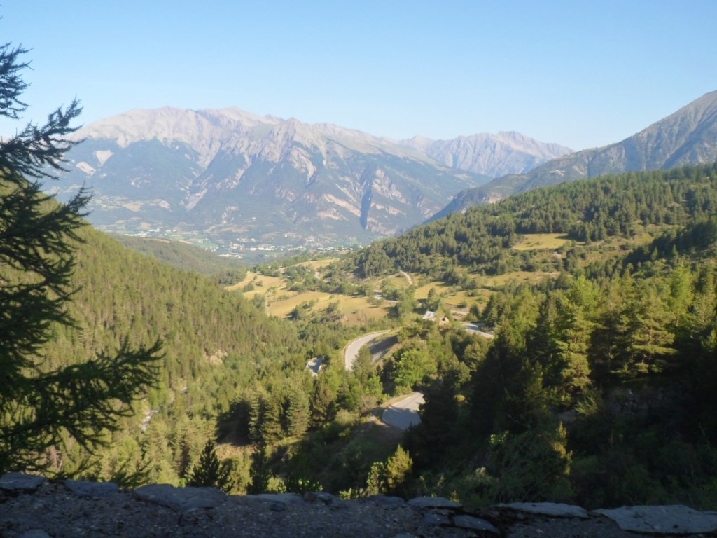
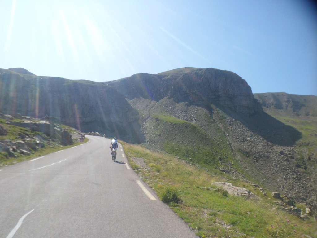
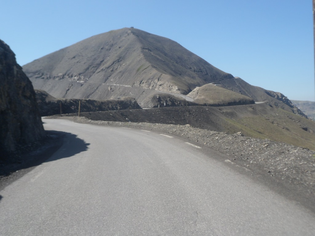
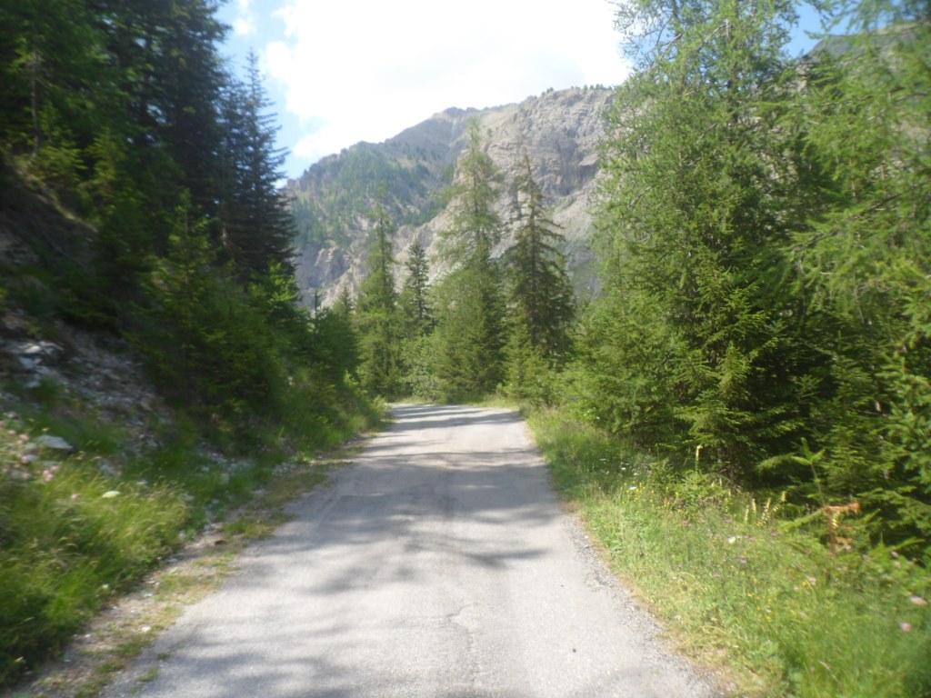
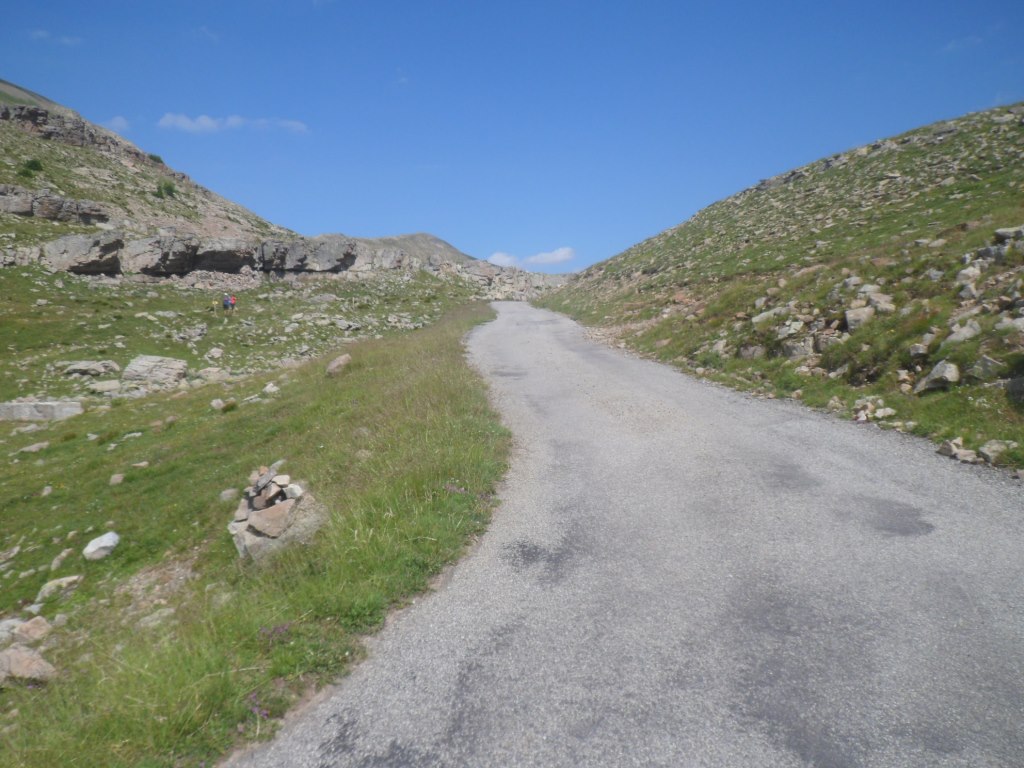
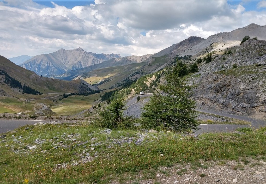
Start of the long climb
|
Lucky us. In the evening F and J-P will tell me that on their way back they saw the photographer 5 km before the top had already called it a day, with so few potential customers going up.
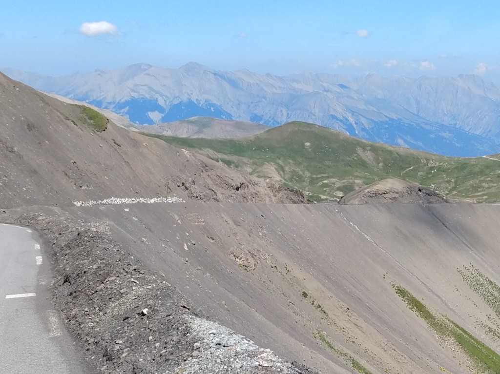
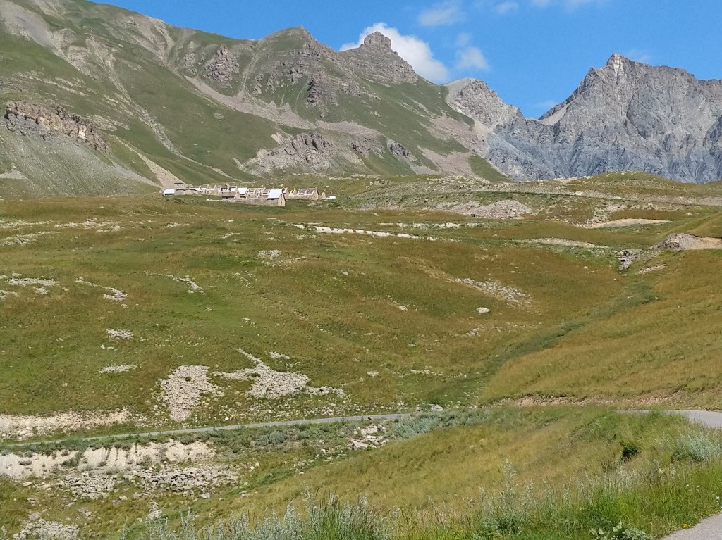
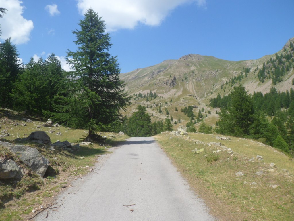
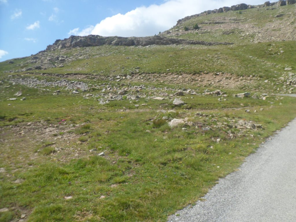
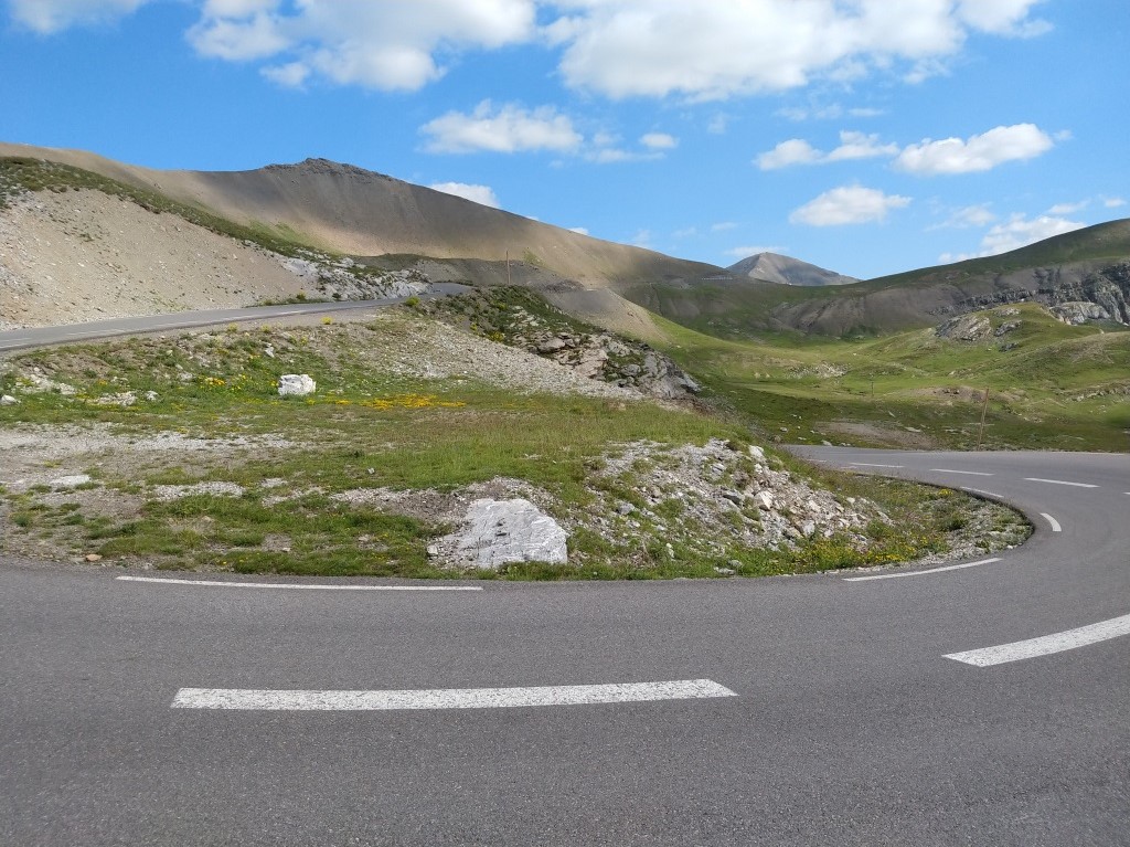
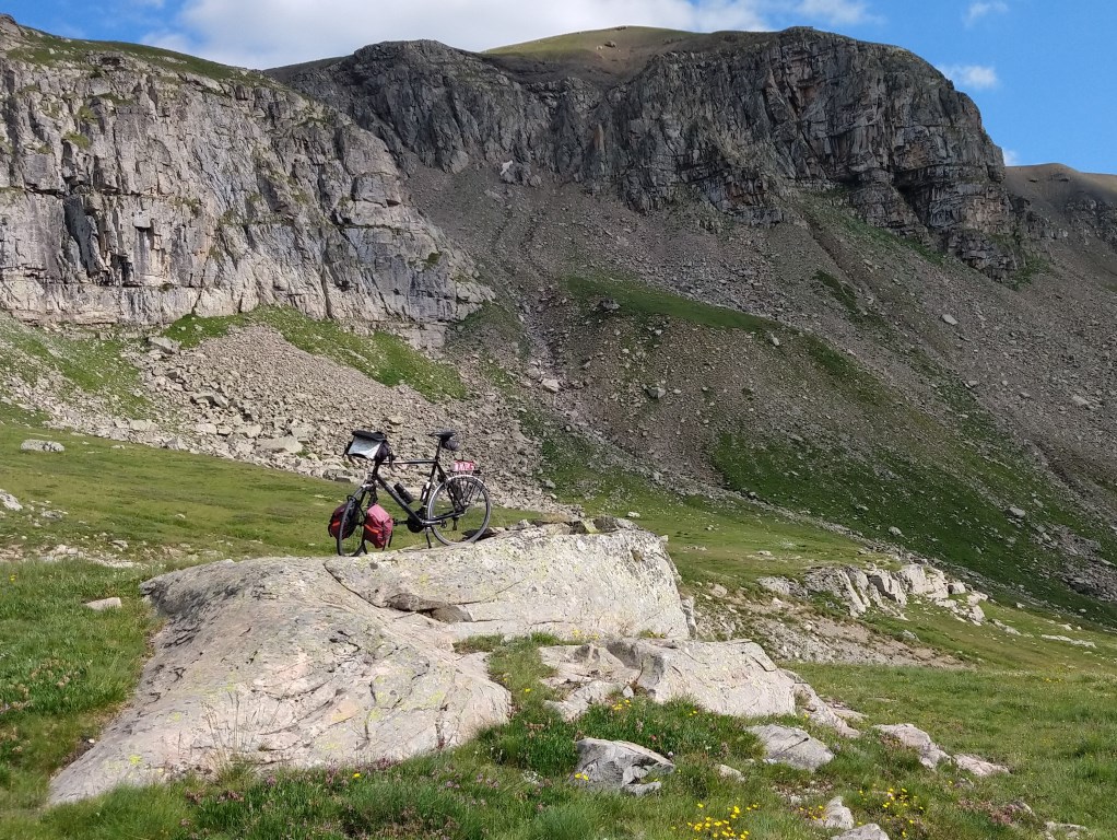
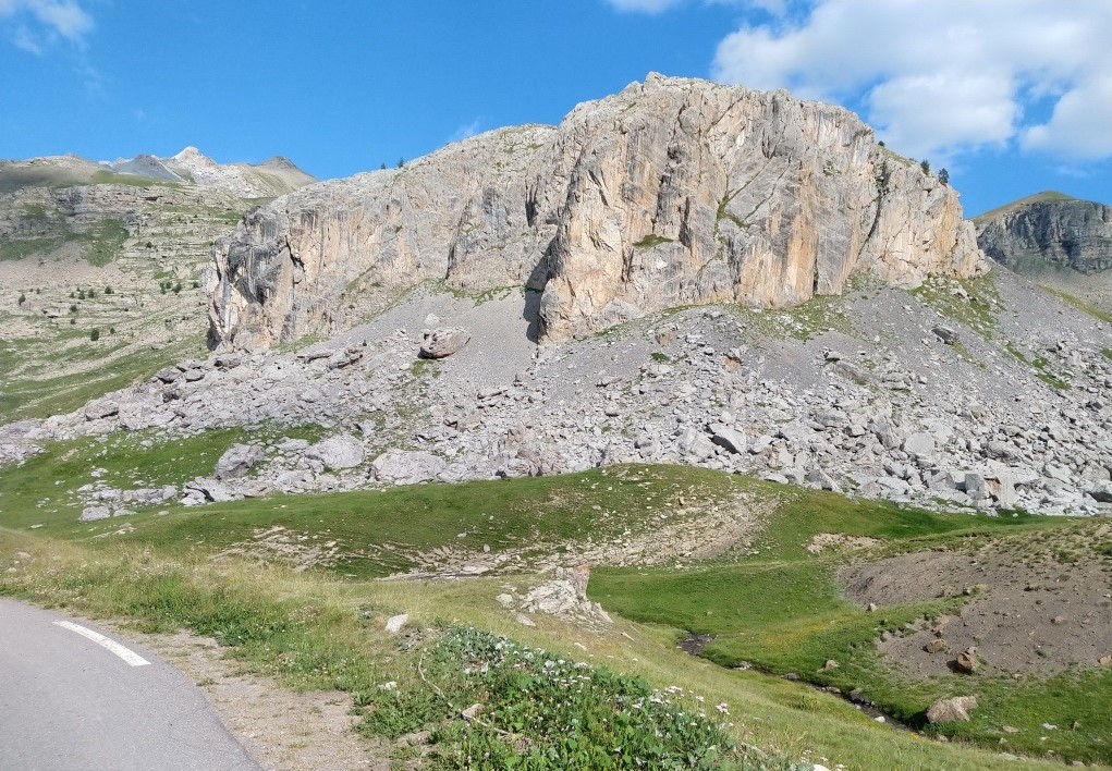
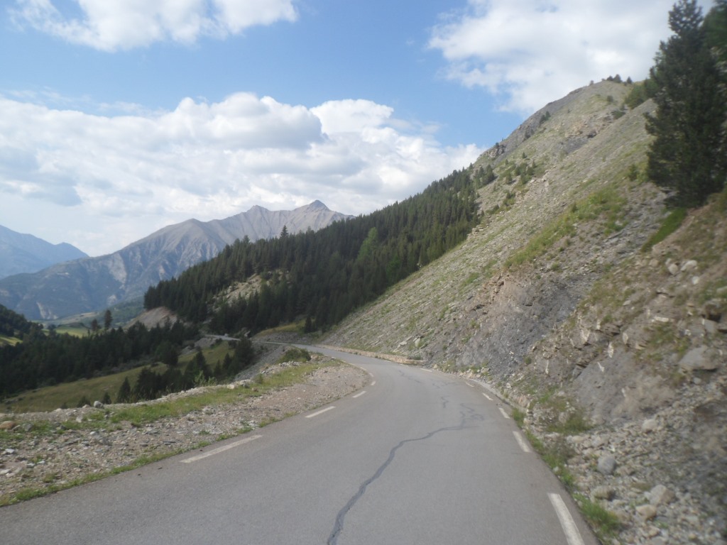
The climb to the Bonette from the north is long but not that hard; apart from the last 500 m it's between 5% and 8% most of the time.
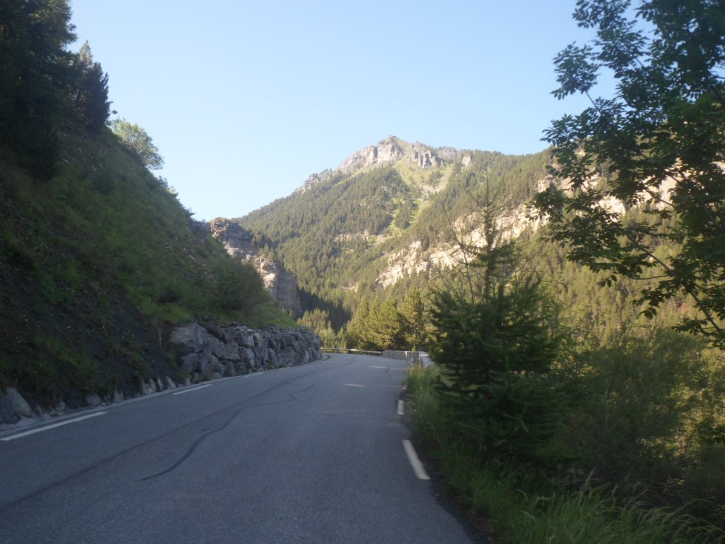
But it's gorgeous with all the different phases from farmland, one single hamlet at the beginning, then through the woods, passing through a narrow gorge, till the tree line.
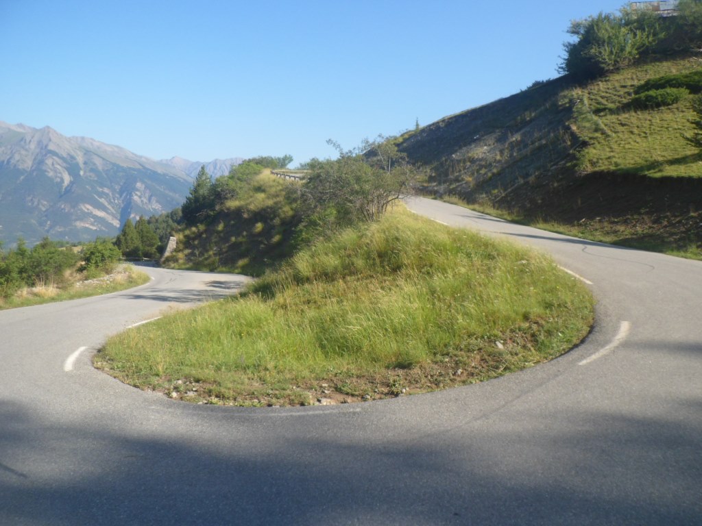
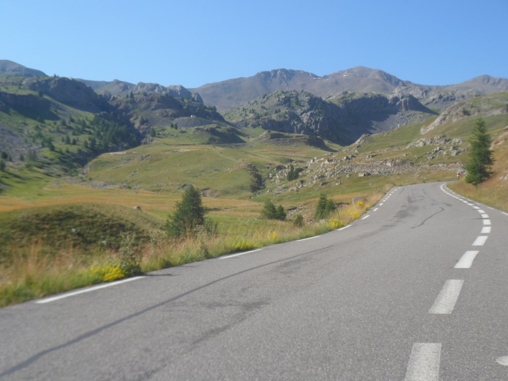
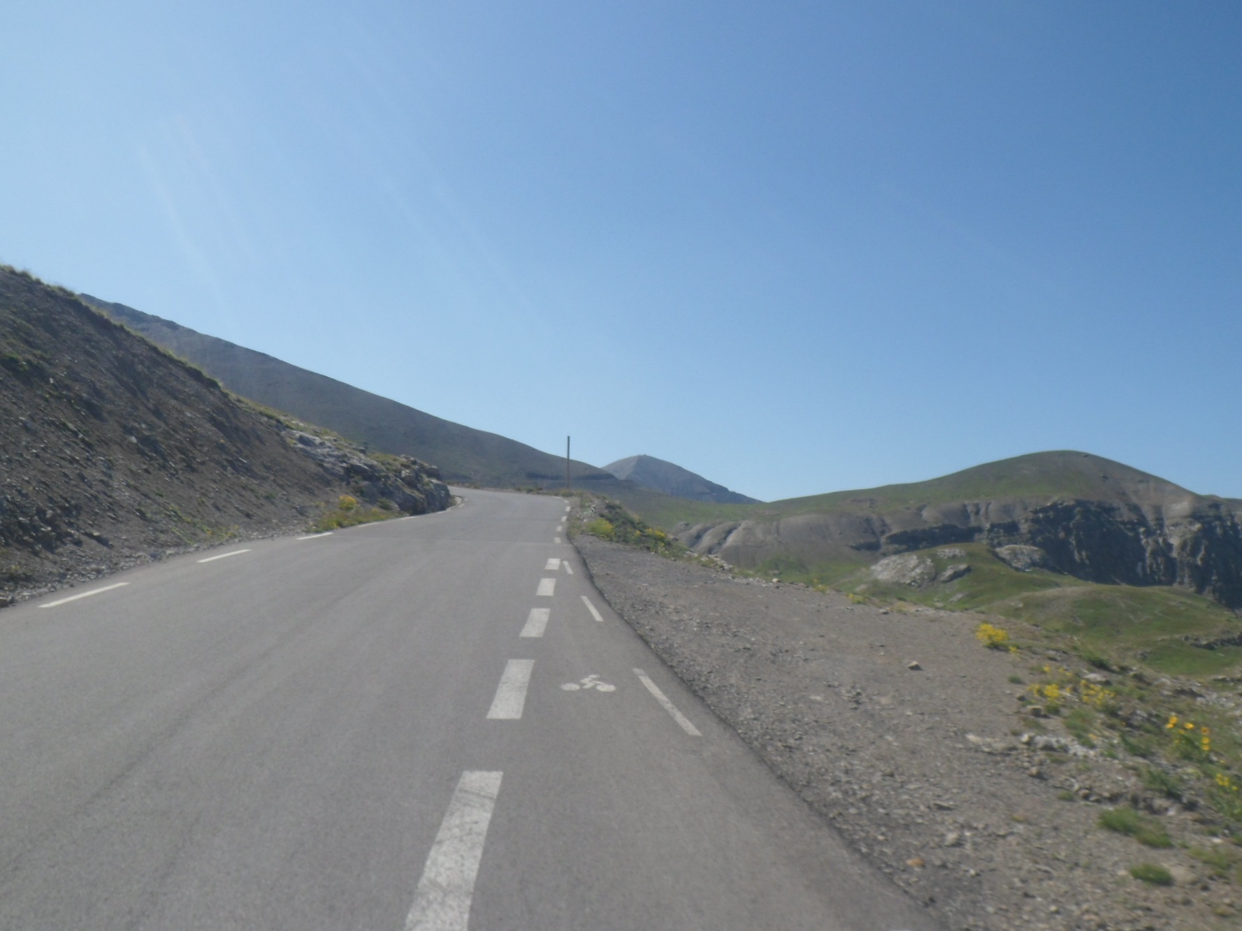
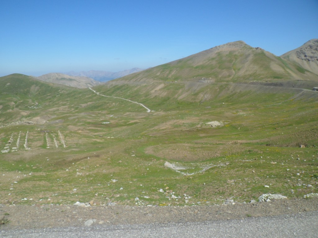
Then meandering up and up out in the open, passing a ghost town way above 2000 m, not needing a break to catch my breath.
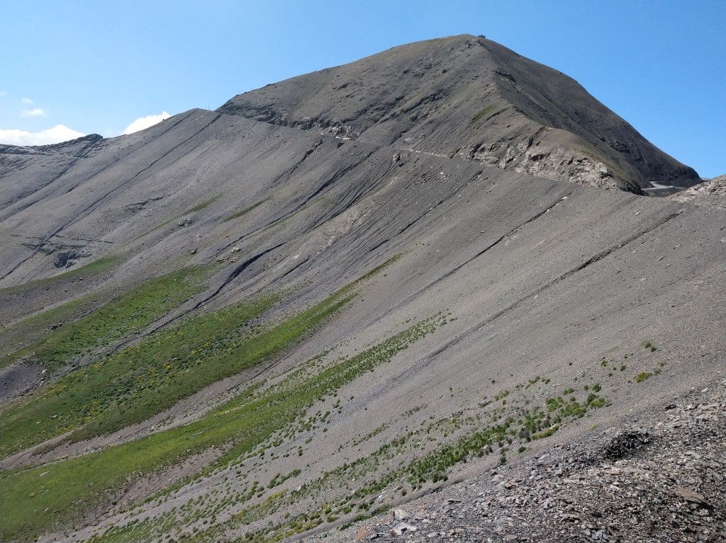
Finally I get sight of the black cime some six km before actually getting there.
I pass the junction at the Col de Restefond, in the moonlike landscape, and I definitely do have to change to lower gears for the final steep 500 m.
Around the 'dolmen' at 2802 m, as expected, there are not many people: two Dutch motor cyclists (thx for the photograph!),
four Dutch cyclists (making the loop over the Col de la Lombarde and the Colle della Maddalena, with a fellow compatriot accompanying them in a car). And a few other cyclists as well.
|
I leave the world of the living around 9 a.m.
|
|
It's quiet, but I'm not alone
|
|
Through the woods
|
|
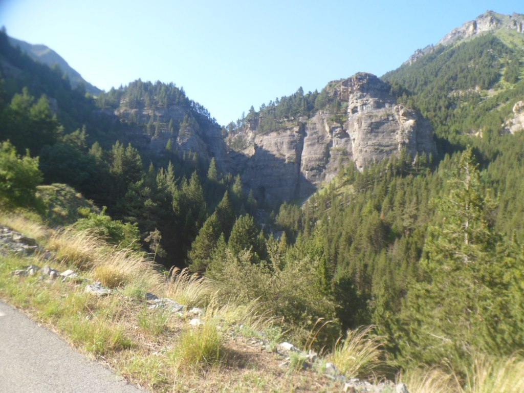
Approaching the gorge
|
|
Step by step (bend by bend)
|
|
View back (bend after bend)
|
|
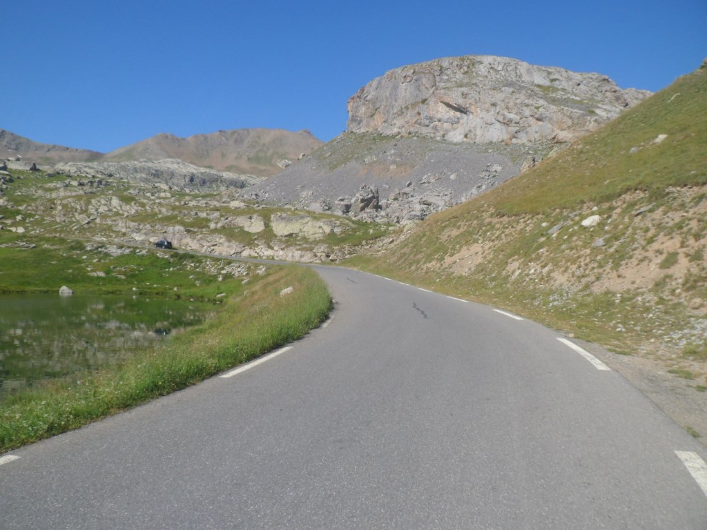
Out in the open
|
|
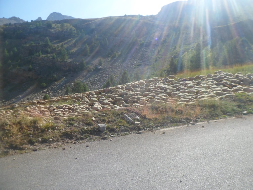
Sheep
|
|
Definitely above the trees
|
|
Françine
|
|
The cime
|
|
The Cime
|
|
View back
|
|
The CIME
|
|
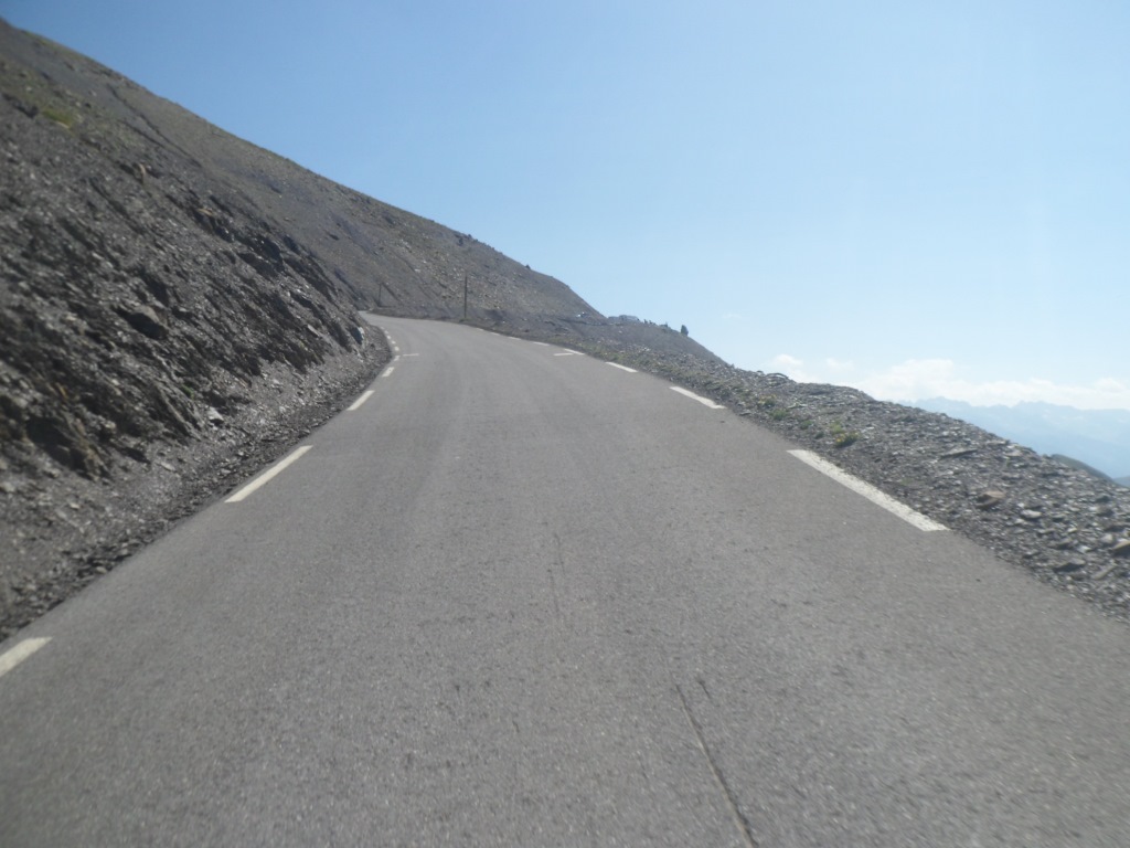
The final pushes
|
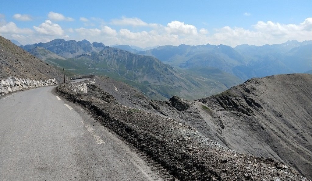
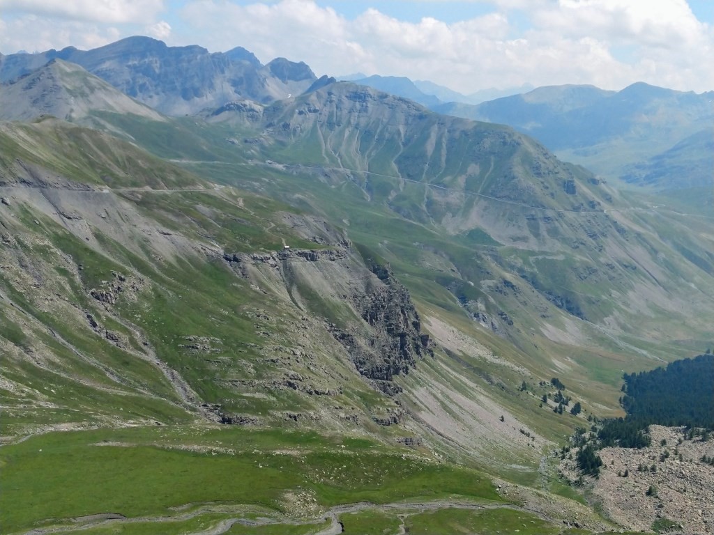
During the dazzling descent I pull my brakes several times to make pictures. In the beginning the environment is so spacious and the looks down so deep.
I rush along the champ militaire about which I read some interesting stuff in The Higher Calling (subtitle: Cycling's Obsession with Mountains).
Will this then finally be my last visit to these higher spheres?? Well, so I wondered (pondered) in 2008. And also in 2014. So you never know, well, at least I don't know now.
I don't want to let the speed go up too much, since the power of my brakes is not what it was ten days ago; I think I'll barely manage with them another two and a half day.
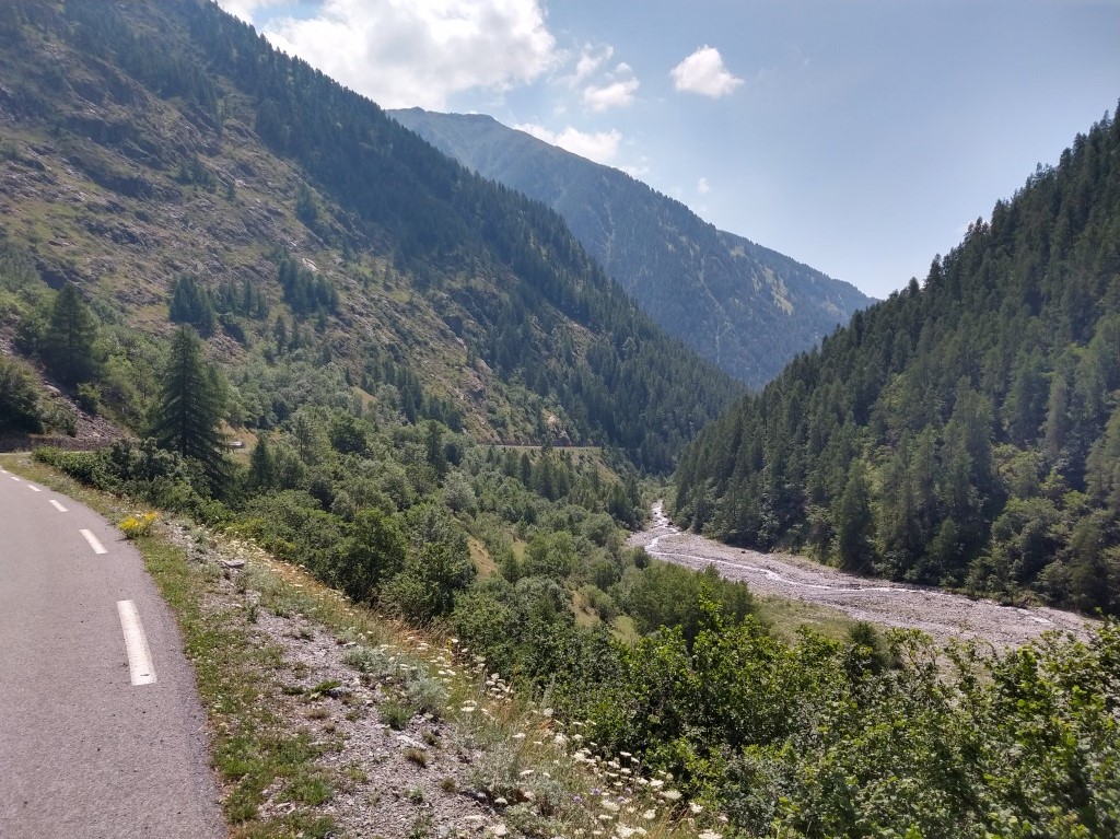
The whole descent I can ride in t-shirt, and in Bousiéyas, some 1000 m down, it's getting really warm. I follow the Tinée through a green, gorgeous valley −
it's really a pity the duration is inversely proportional to the speed − till
Saint-Étienne, actually 200 m lower than what had been necessary, but I didn't expect a large range of restaurants in Saint-Dalmas-sur-Selvage.
Sometime around 1 p.m. I reach this turning point.
|
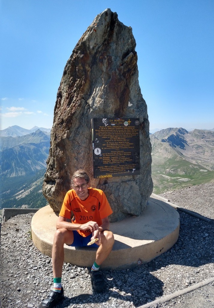
At the dolmen
|
|
Start of the long descent
|
|
And down we go
|
|
For a long long while
|
|
The Cime from the other side
|
|
Down, down, down
|
|
Desolated Camp des Fourches
|
|
Along the Tinée
|
I have an icecream, an umpteenth salad and some panini like snack, and a lot of cold coca cola and water under a big parasol.
I'm about to leave when I'm joined by a Dutchman with a t-shirt 'proudly' showing the '100 collen-tocht'
(tour of 100 cols), who tells me it is too warm for him to go any further today.
I tell him that the water from most fontaines can be drunk with no fear, as long as it doesn't say eau non potable. This seems to be a new piece of information to him.
(The guy is carrying several disinfecting devices!)
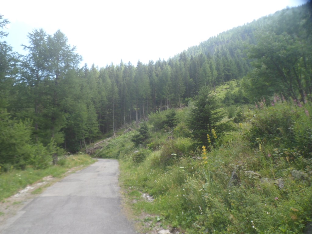
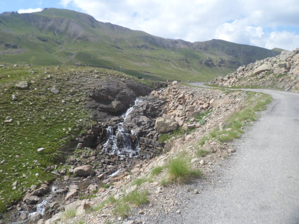
And warm it is! First five km back along the D64, then I turn left for four km along the Torrent de Jalorgues to Saint-Dalmas-le-Selvage,
where I visit the syndicat d'initiatives for some route information (distance and elevation gain till the col), as Michelin is not very clear here.
From Saint-Dalmas it's some 950 m up in 11 km, and at home I learn that for the last 7 km it's hardly ever below 9%.
And it's warm, so I have my bottle refilled (moreover the water from the pumps in Saint-Dalmas is non potable).
From what I remember (from 1997!!) it is an open climb with great views onto the Cime de la Bonette.
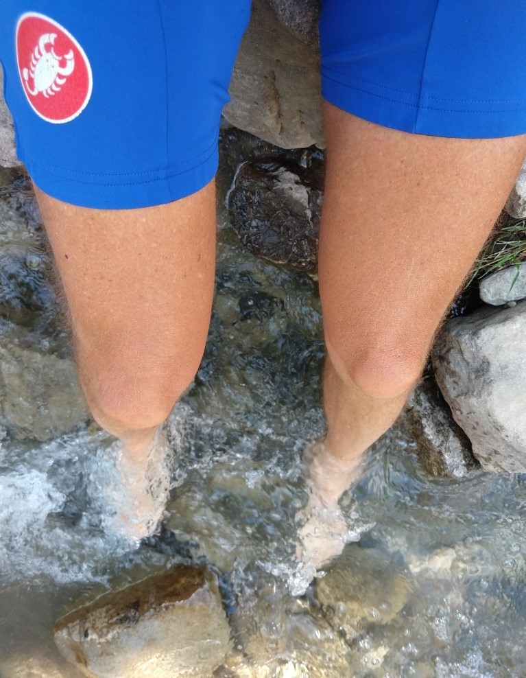
My memory fails me again . . . . I stay in the woods much longer than expected, don't feel very confident about my power today, it's steep and it's warm, and I promise myself a skinny dip,
or at least a feet dip in the silvery stream that I sort of follow.
|
Bridge over the Tinée, direction Saint-Dalmas
|
|
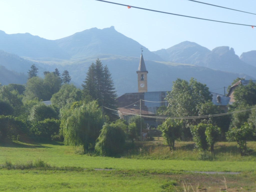
Saint-Dalmas-sur-Selvage
|
|
Tiny road to Col de la Moutière
|
|
Bis
|
|
Bis
|
|
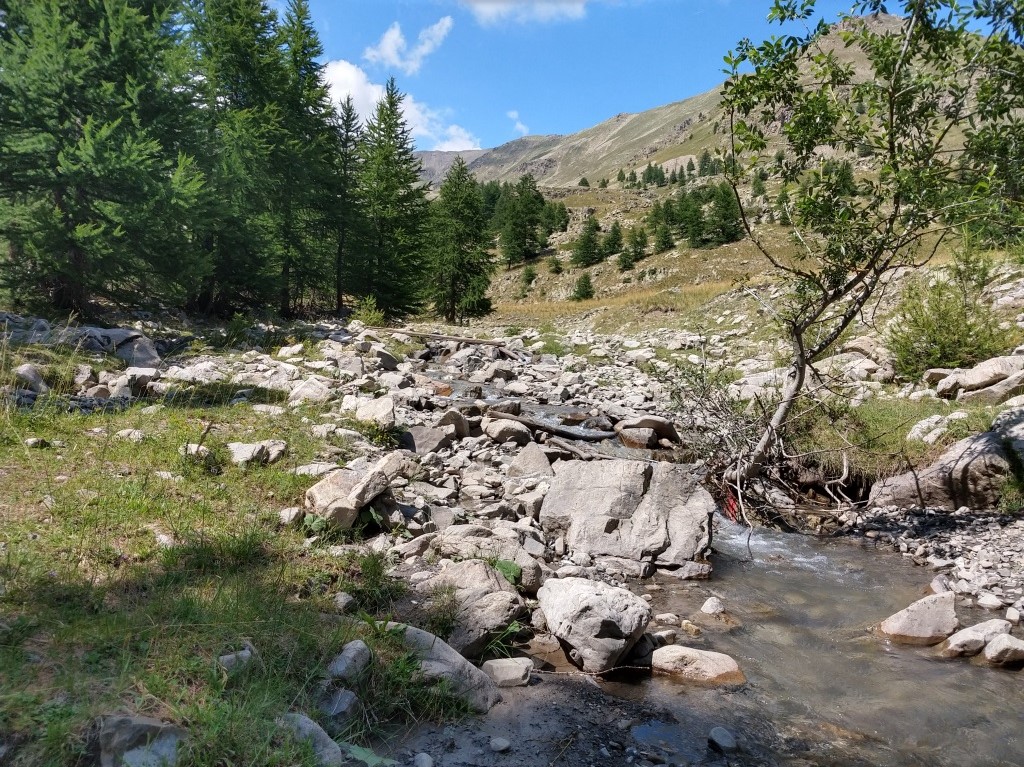
Refreshing Torrent de Sestrière
|
|
Tired but happy
|
|
Refreshing!
|
|
My patient horse
|
|
Final, hard part
|
|
And on and on
|
|
And on
|
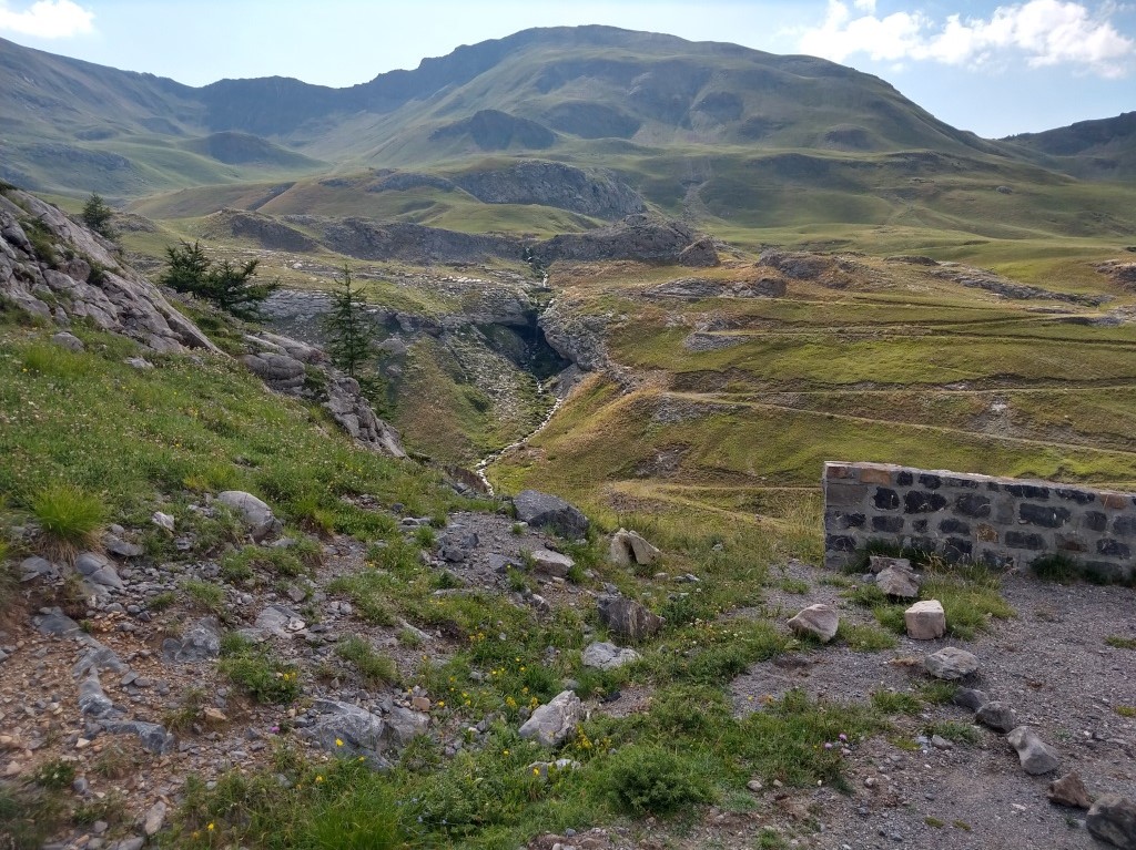
So, where to do that, i.e. when will the stream finally deflect and not return?
At just the right moment I have a nice wet-feet break, where I relax and recover a bit for the final (steepest) part.
Which still is hard (how did I fix it in 1997, with 10 kg of extra weight, with probably a better temperature, but then also trying to spare some energy for the ensuing climbs
(to the Col de Vars and to Montbardon) in the afternoon!?). I literally creep upwards to the pass, and have fun noticing marmots fleeing to their holes.
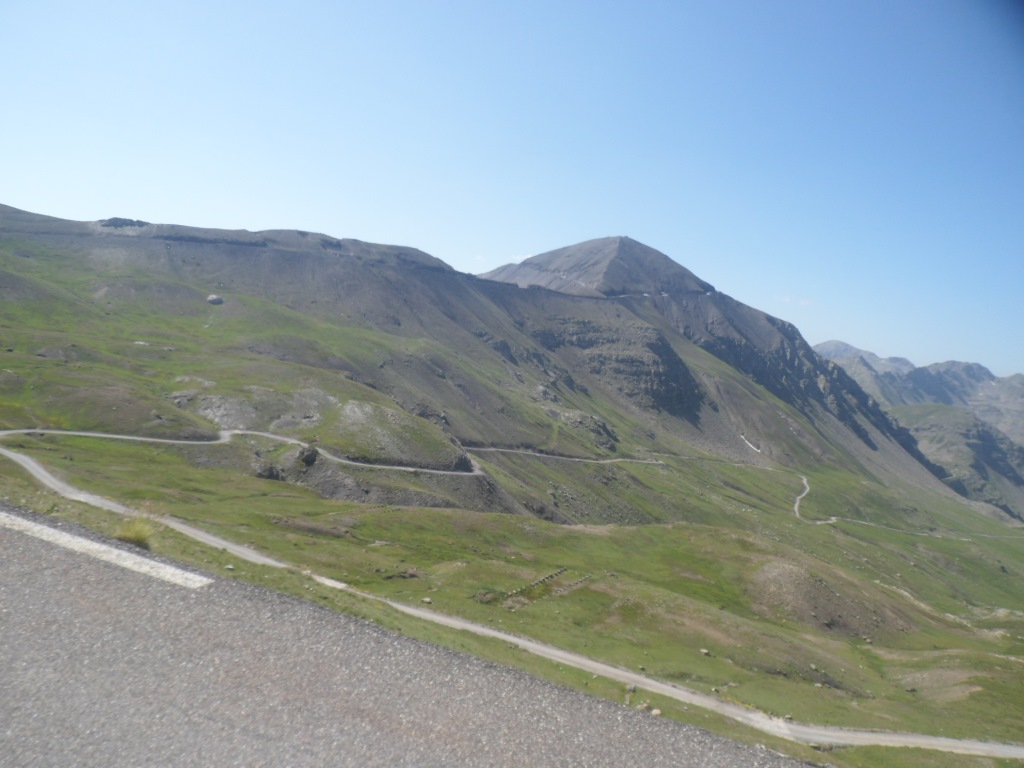
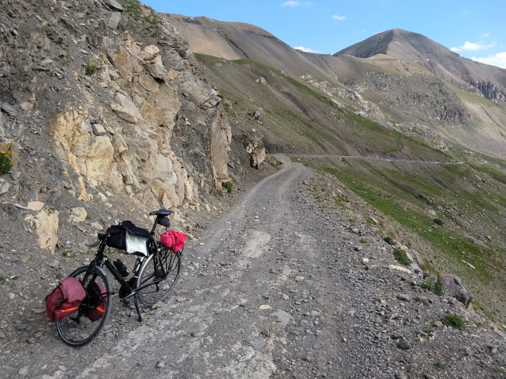
No time to stop at the pass, the road to Bayasse does not seem practicable indeed, and then still three hard kilometers over the unpaved part to regain the Route du Restefond.
HARD, because of the steepness and because of the hardly rideable sections. These kilometers seem to last indefinitely!
|
Impossible (for me) to stay on the pedals
|
|
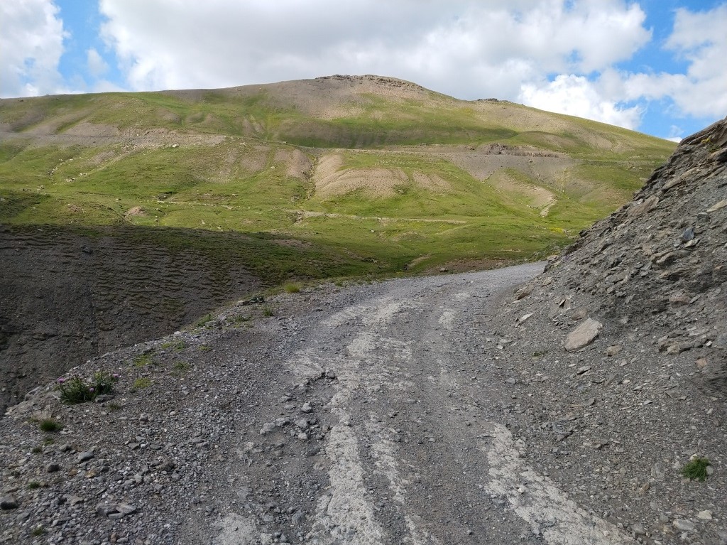
Endless unsurfaced kilometers
|
|
Finally back on the tarmac!
|
|
Exhilarating descent
|
|
A monument for JJ
|
|
Glorious environment
|
|
Bis
|
|
Last view up
|
|
Down and down
|
|
And down and down
|
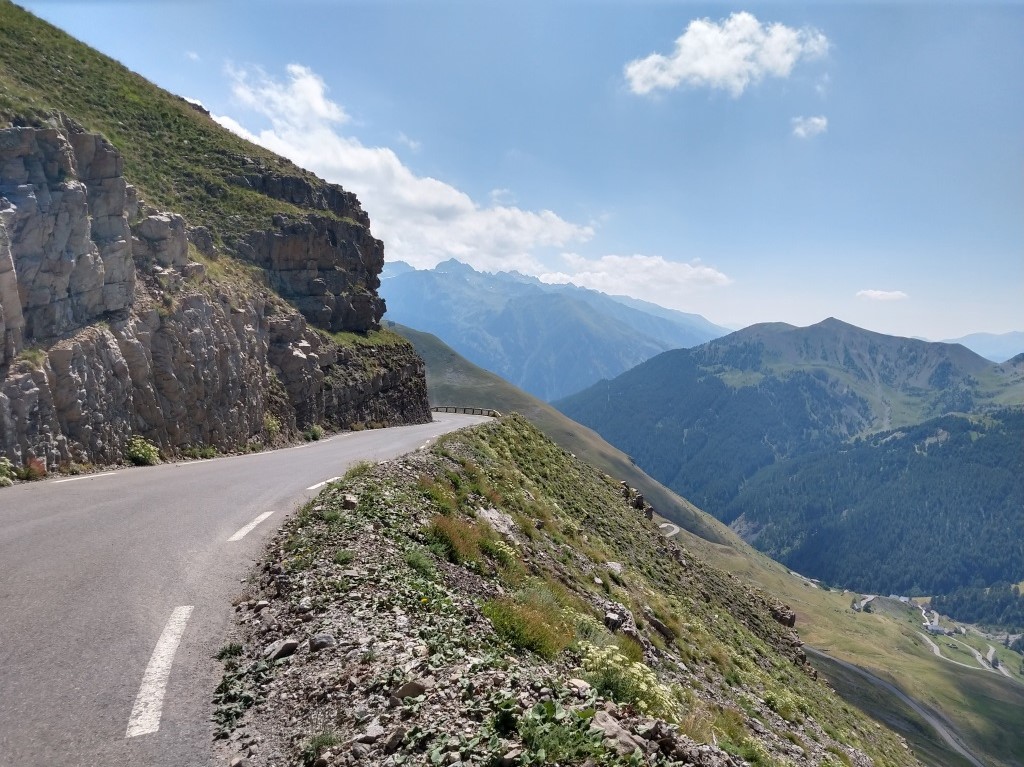
And then, finally the final (as will appear two days later) long descent of the trip. Gorgeous, gorgeous.
I grant myself several photo stops, though I have already so many picturesof this five star climb.
It's a way I think I may capture these fantastic images for whenever my memory will start to fail me . . . .
One earlier plan also included the climb to Super Sauze, but I have neither the time nor the stamina to add this 'new' escalade.
Instead I have a look in the sports shop in Jausiers for a new sleeveless (not too expensive) t-shirt. And I have a beer and feel melancholic.
Around 6:30 p.m. I'm back at Gîte "l'Ardoisière", where I am welcomed (and invited to cuddle) by the dog of the house,
and where later I enjoy another very good meal (and many stories by J.P., who by the way took the car halfway up the Bonette, sensible man!).
Tonight dinner is outside in the very agreeable garden. Hard day. Good day!
↓ ↓ ↓
→
Next day
←
Back to overview
.
|