|
13-07-2015 Ota → Corte 85 km
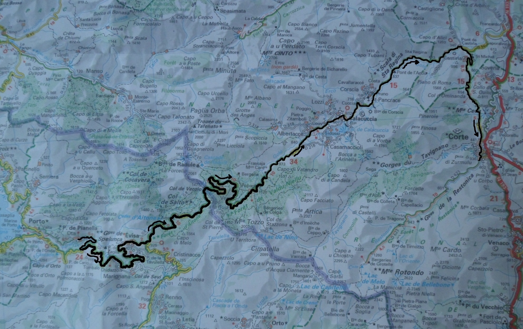
for route click here
Another marvellous day is awaiting us. We leave again under the most favorable of circumstances: perfect weather and an incredibly nice environment.
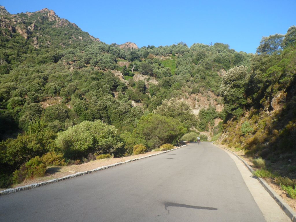
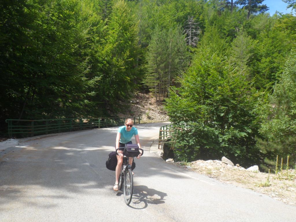
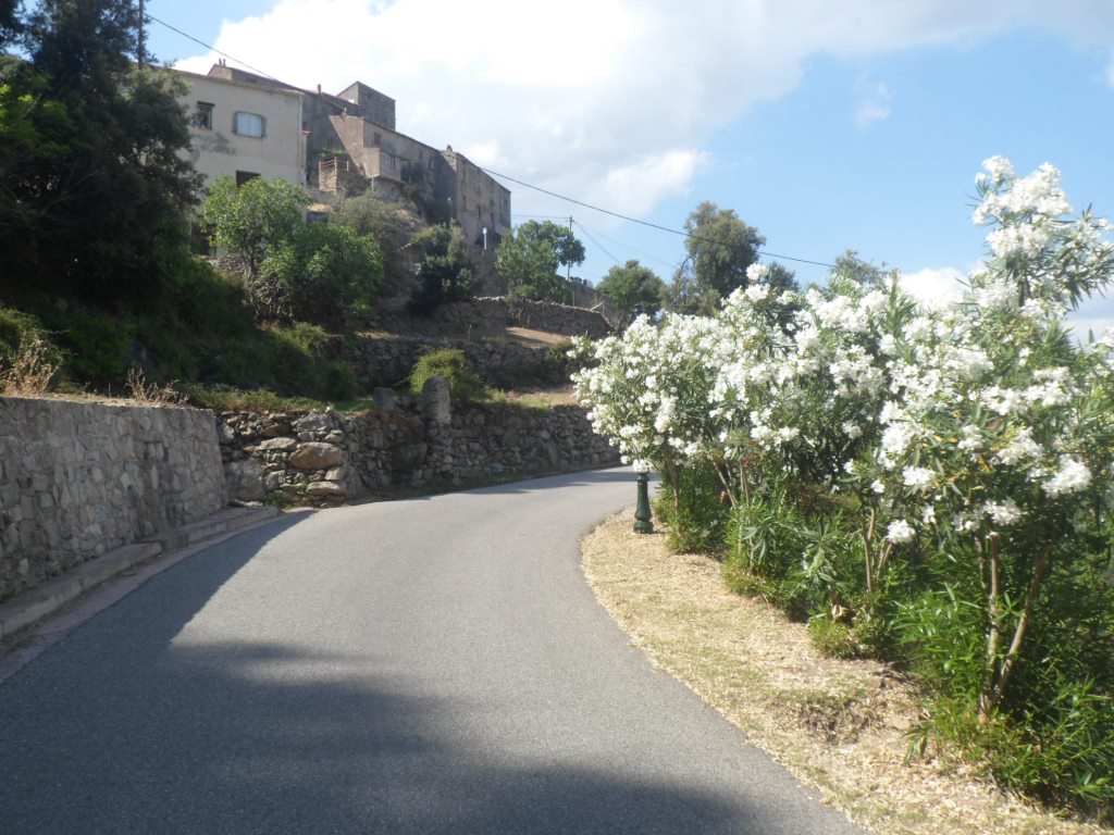
First the descent to the bridge over the river Porto, followed by the climb with splendid views to Ota to get to the D84. Halfway we overtake three goats and when we turn a bend it appears they are the tail of a pack of at least fifty. They must be used too passers-by, as they make room for us calmly.
|
Another WONDERFUL morning
|
|
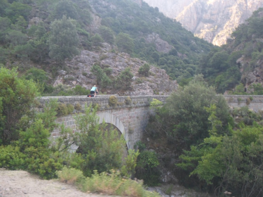
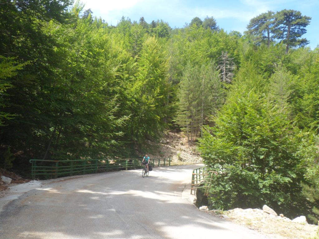
Bridge over the Porto
|
|
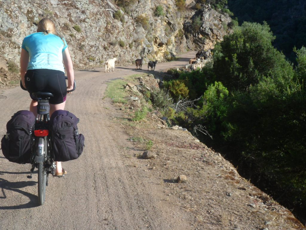
The tail . . . .
|
|
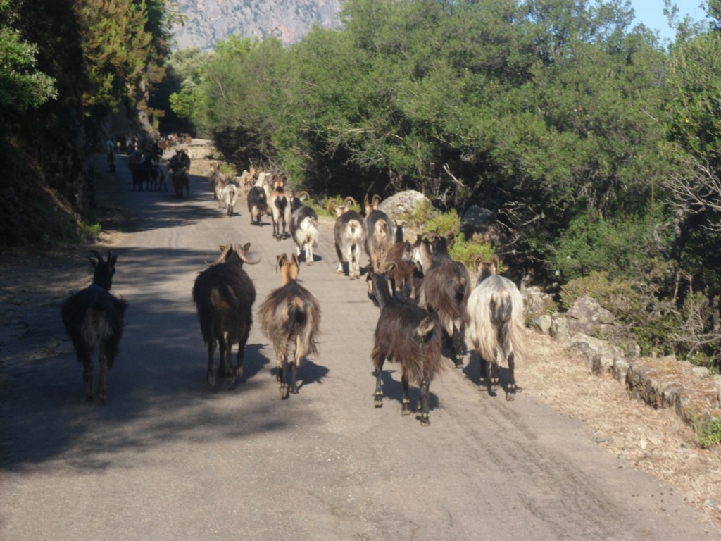
. . . . of a goats' peloton
|
|
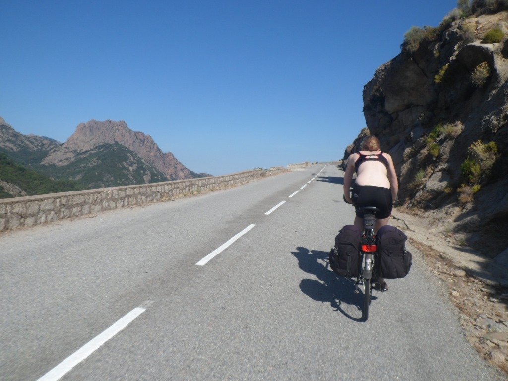
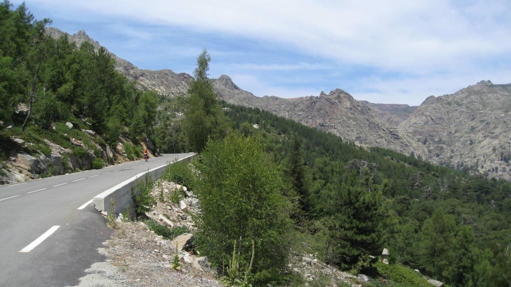
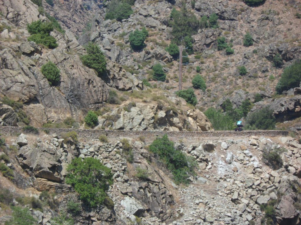
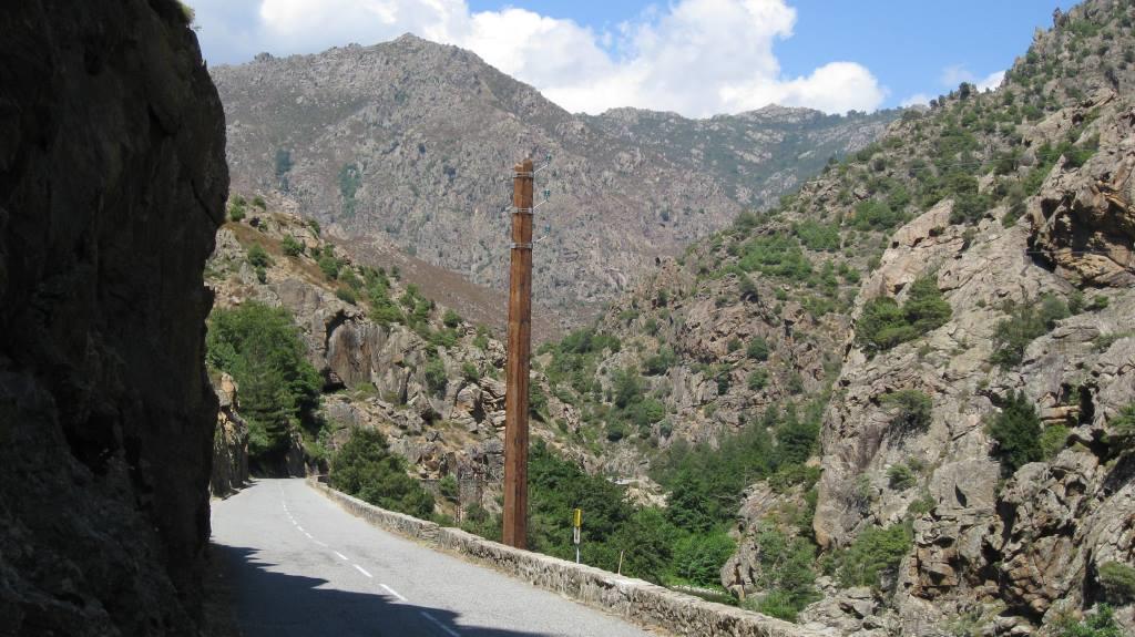
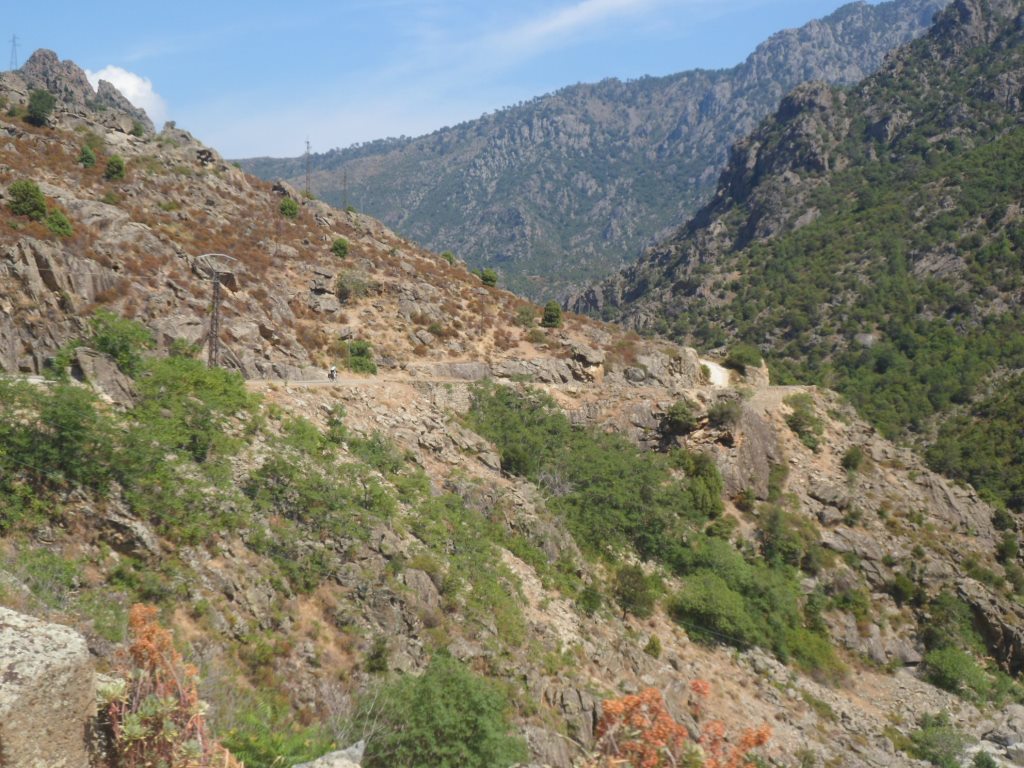
What a GREAT road
|
|
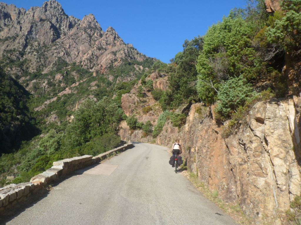
to visit again
|
|
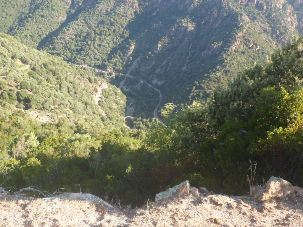
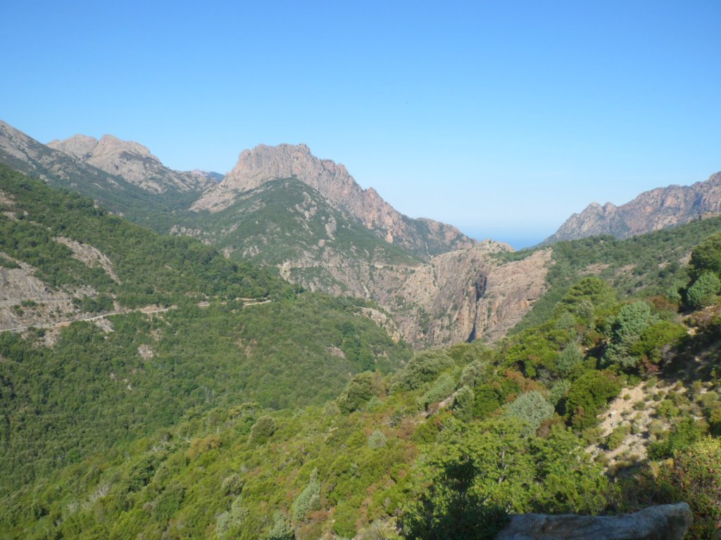
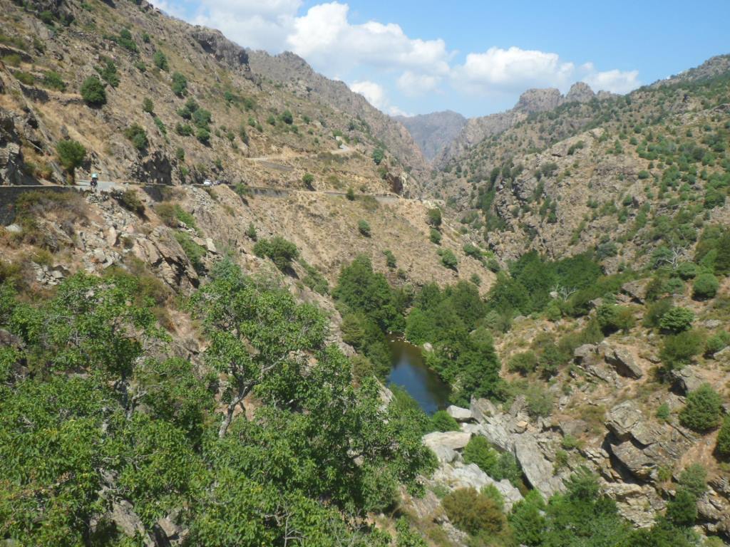
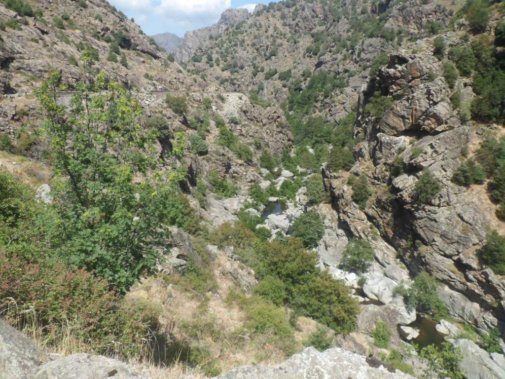
Deep canyon
|
|
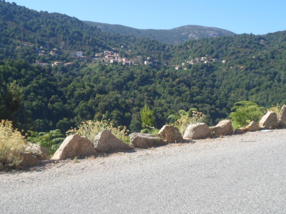
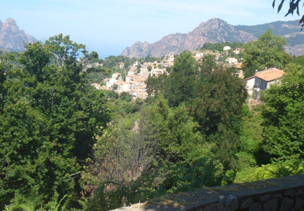
Marignana seen 'from the other side'
|
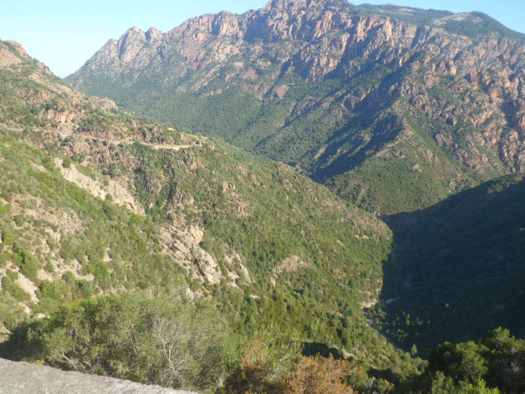
The D84 is also more than worth visiting again; now we will stick to it for 65 km. In a few wide turns, with ever changing vistas, it easily climbs to Evisa, where we have already gained more than half the difference in altitude to the Bocca di Verghju. In Evisa the local pâtisserie has a disappointingly restricted assortment of pastry − a circumstance we will learn we will be confronted with more often in the mountains. Well, I'm quite okay with chaussons aux pommes. I try to arrange a travel insurance for the rest of the trip (still two weeks) of Oxana in the US, but my insurance company tells me that is not possible after a trip has already started. Let's keep our fingers crossed Oxana won't come across more trouble .... And try to forget about this business; what more can we do about it ?!
|
And as we get higher . . . .
|
|
. . . . the views down get deeper
|
|
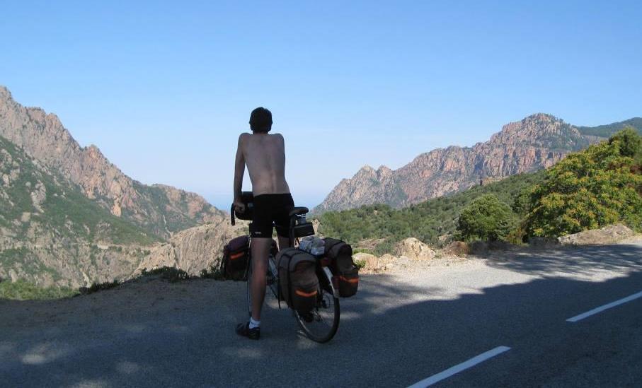
Contemplating the mountains and the sea
|
|
Evisa (already looking back to it)
|
|
Going to the top
|
|
Daughter in the Forêt de Aitone
|
|
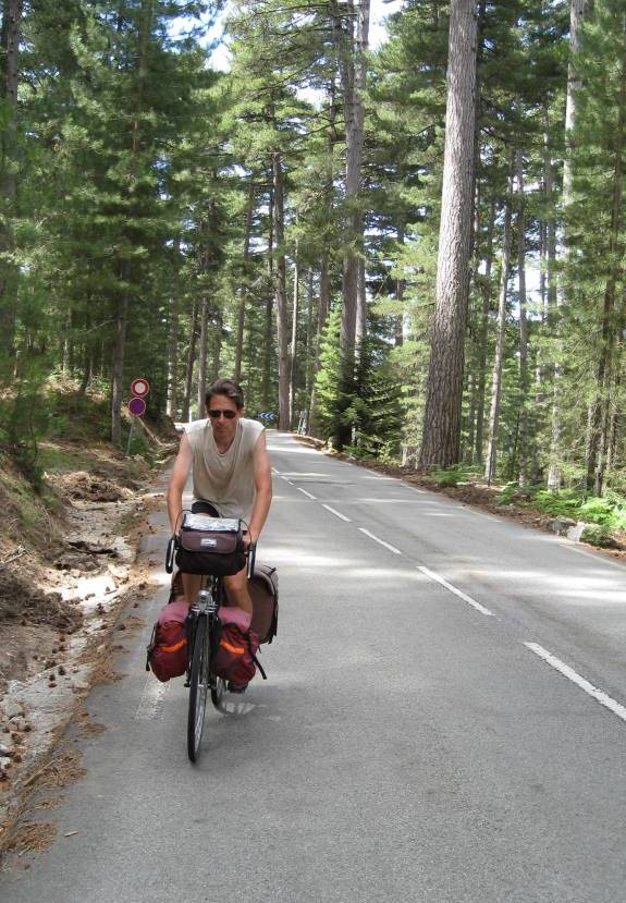
Father too
|
|
Daughter coming . . . .
|
|
. . . . around the bend
|
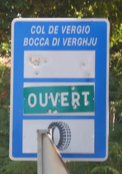
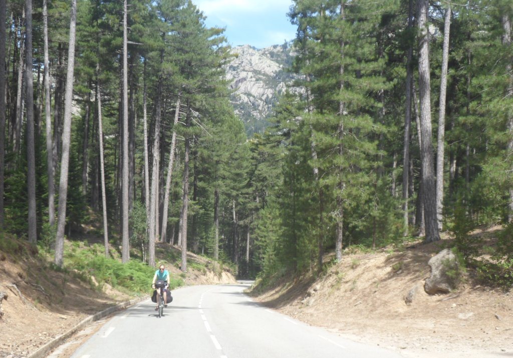
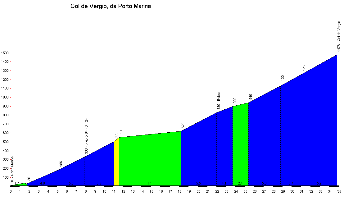
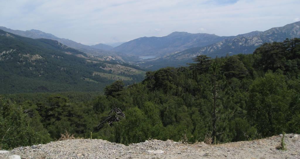
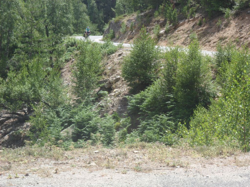
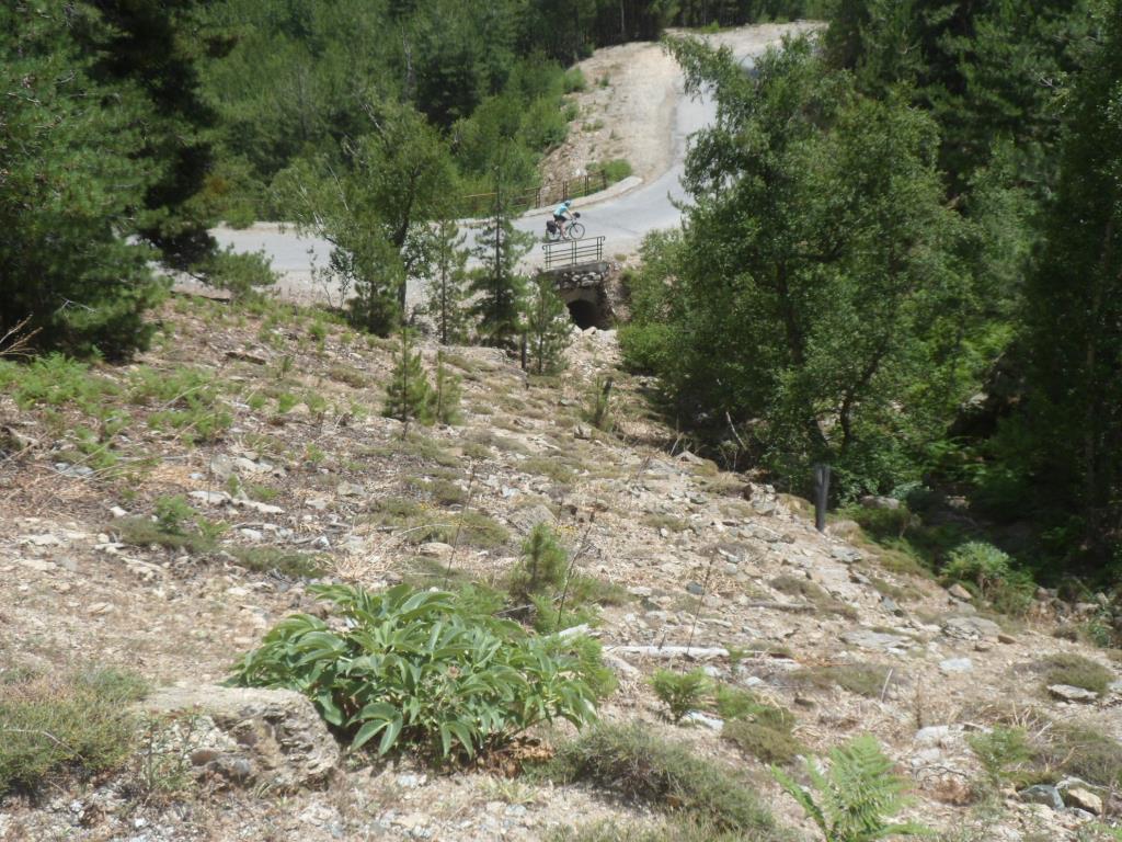
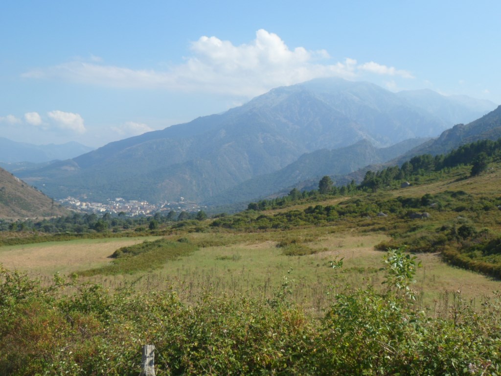
The next kilometers certainly offer a lot of distraction. First we ride through the Forêt de Aitone, where our 'friends' from the gîte in Ota made a hike and had a swim yesterday. It seems that the best places for swimming in Corsica are the rivers; we will experience this too, but not yet today, as with the Col de Vergio as pièce de resistance it will be quite a long stage. The dense forest and the regular slope of 5% make it rather easy to reach the highest point of the whole trip: 1477 m. The view to the east is rather disappointing; we look into a wide, almost straight valley, with 700 m below us the Lac de Calacuccia. Of course it's fun to collect our reward: a 40 km descent!
|
Long, easy-going climb
|
|
|
View from the top
|
|
|
Daughter photographs Daddy . . . .
|
|
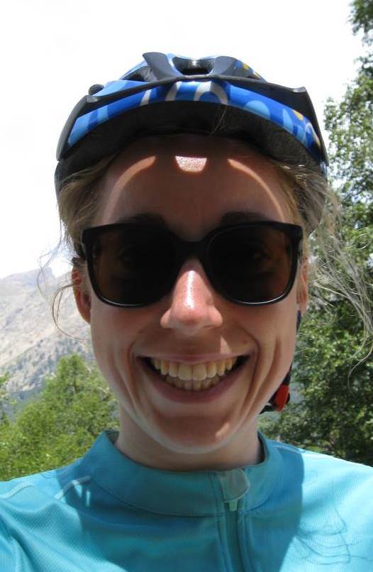
. . . . and herself
|
We ride just south of the mountain range with the highest peaks in Corsica, amongst which the Monte Cinto, with 2706 m the highest. And again, even when going at a high speed: it is hot, hot, HOT. In Calacuccia, one of the two noteworthy villages where we cross the GR20 (the other is Albertacce), we have a break with drinks and paninis. During the lower part of the descent, along the river Golo, we ride through a much more barren landscape and we consider ourselves fortunate we do not ride in the opposite direction under this scorching sun, with not the tiniest bit of shadow.
|
A few of the MANY pictures . . . .
|
|
. . . . taken during the descent from the Col de Vergio
|
|
|
|
|
|
|
|
|
|
|
|
|
|
|
|

|
|
|
|
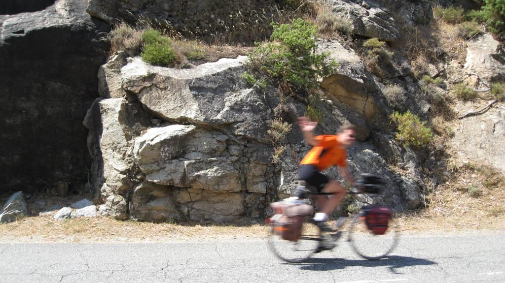
A tour de France isn't
a real Tour de France
without this picture!
|
|
|
|
Last bridge over the Golo
|
|
It cannot be five-star always
|
|
Castirla
|
|
Corte!
|
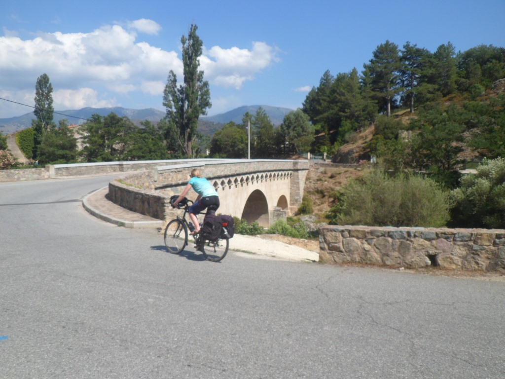
At Ponte Castirlo we cross the Golo and on the edge of the sidewalk gather some courage and energy (baguette aux bananes) for the last 'jump', another 300 m up to the Col d'Ominanda.
Water, water, water! Around the village Castirla, one of those many-levelled villages (where several attempts to refill our water bottles fail) the gradient is a bit severe, but after this, and with the pass clearly visible, the climb offers no difficulty.
|
Castirla
|
|
Corte!
|
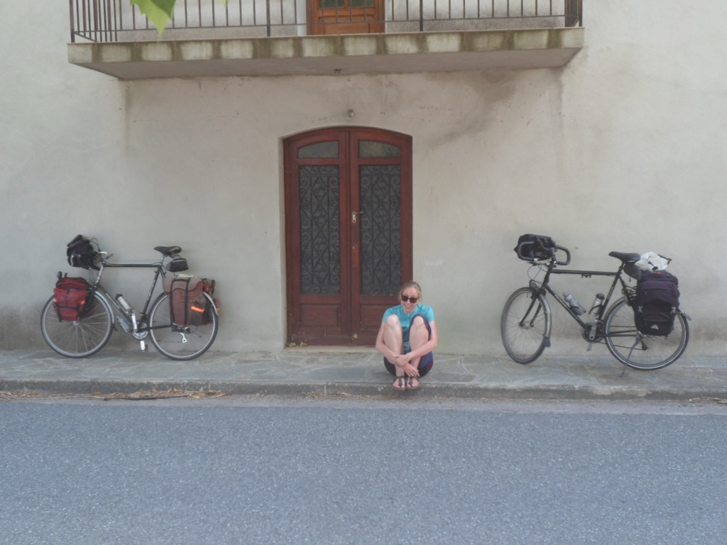
And from the top (654 m) we already look down onto our destination of the day. A short descent, a refill (finally!) of our bottles at a (very strong) fontaine, and we are in the world of the living (tourists) again. Not wanting to keep searching for the gîte too long, we search for the tourist office instead, which search probably takes even more time: it's high up in the citadel. We learn we have to follow the river Tavignano a short while. We cross the river, follow the signs for gîte "U Tavignanu" over a rough path, until we come to a small, steep path of the type one normally finds in a fairy garden. We leave our bikes downstairs for a moment and after a (steep!) walk of two hundred meters reach our accommodation with a great view to the citadel. After a drink we have gathered some energy to fetch and push upwards our bikes, and pass the rest of this wonderful day relaxing and enjoying a simple but copious dinner.
|
|