|
27-07-2014 Meyrueis – Villefort 115 km
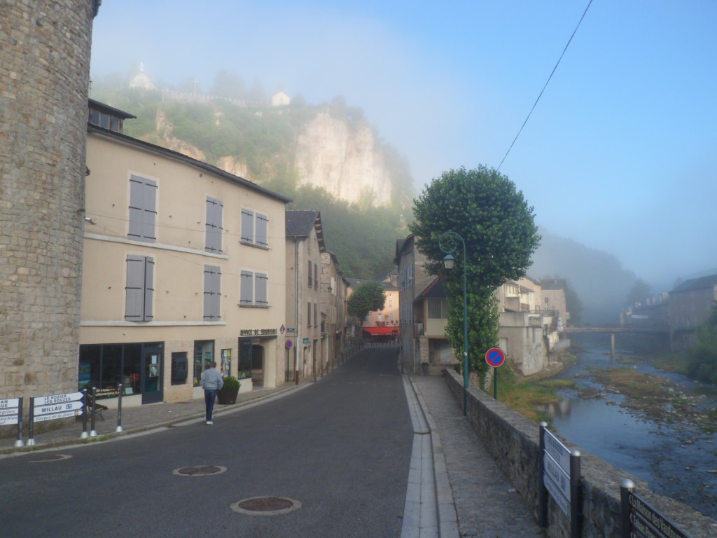
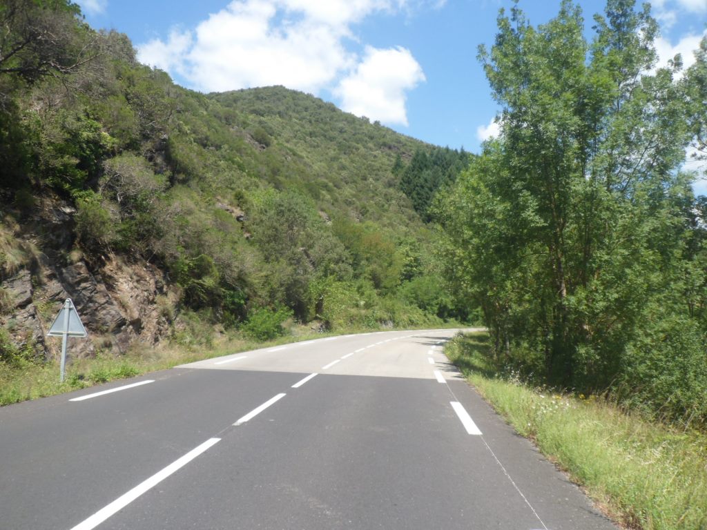
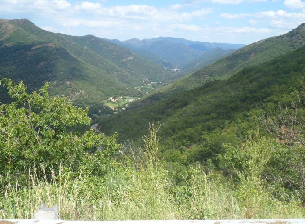
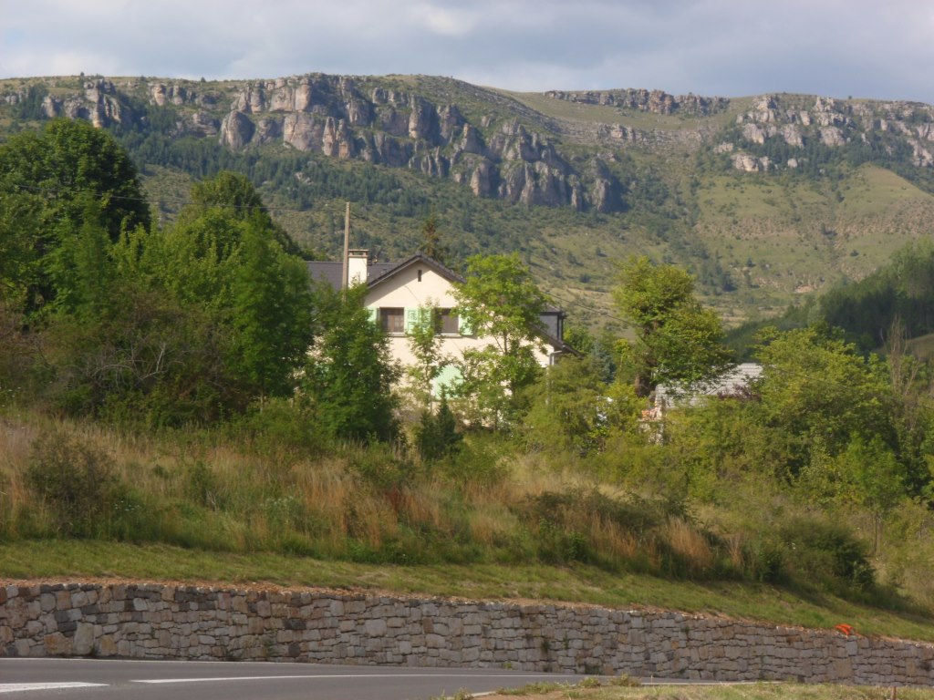
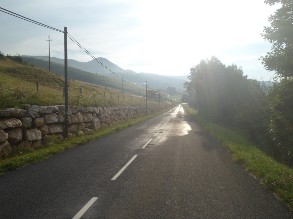
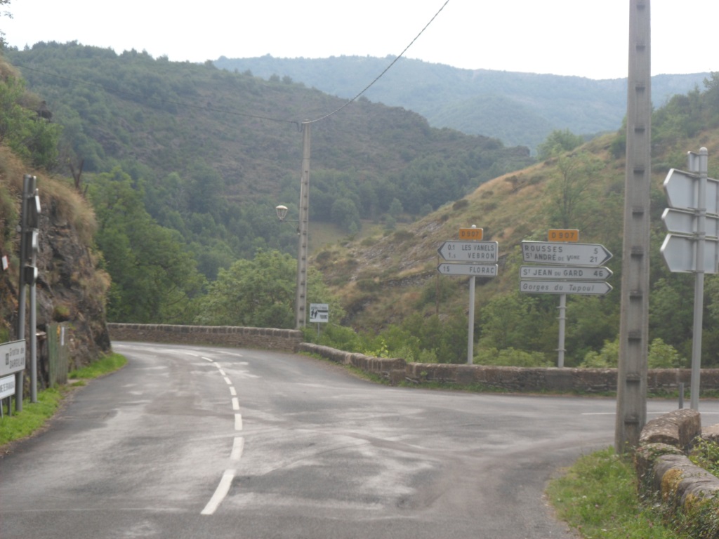
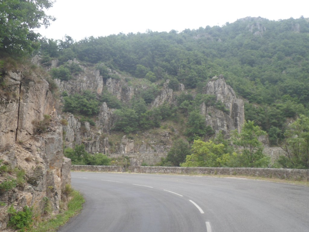
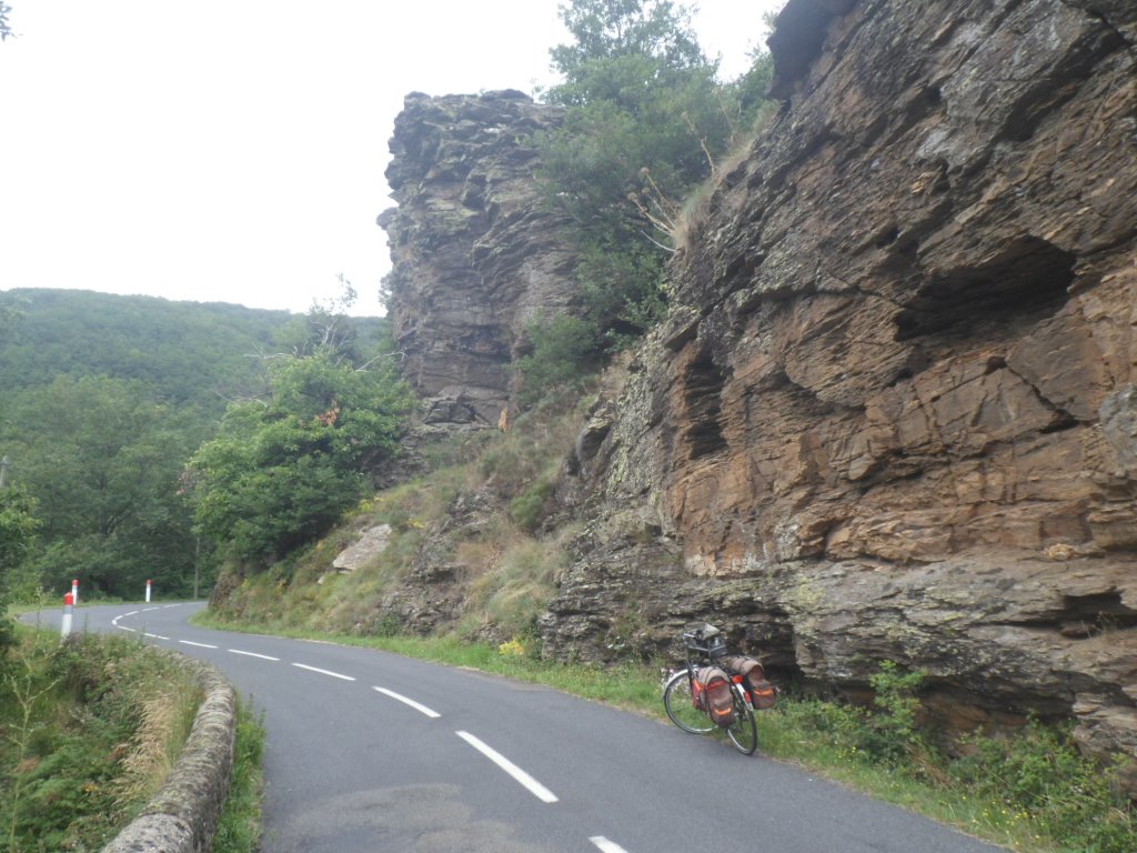
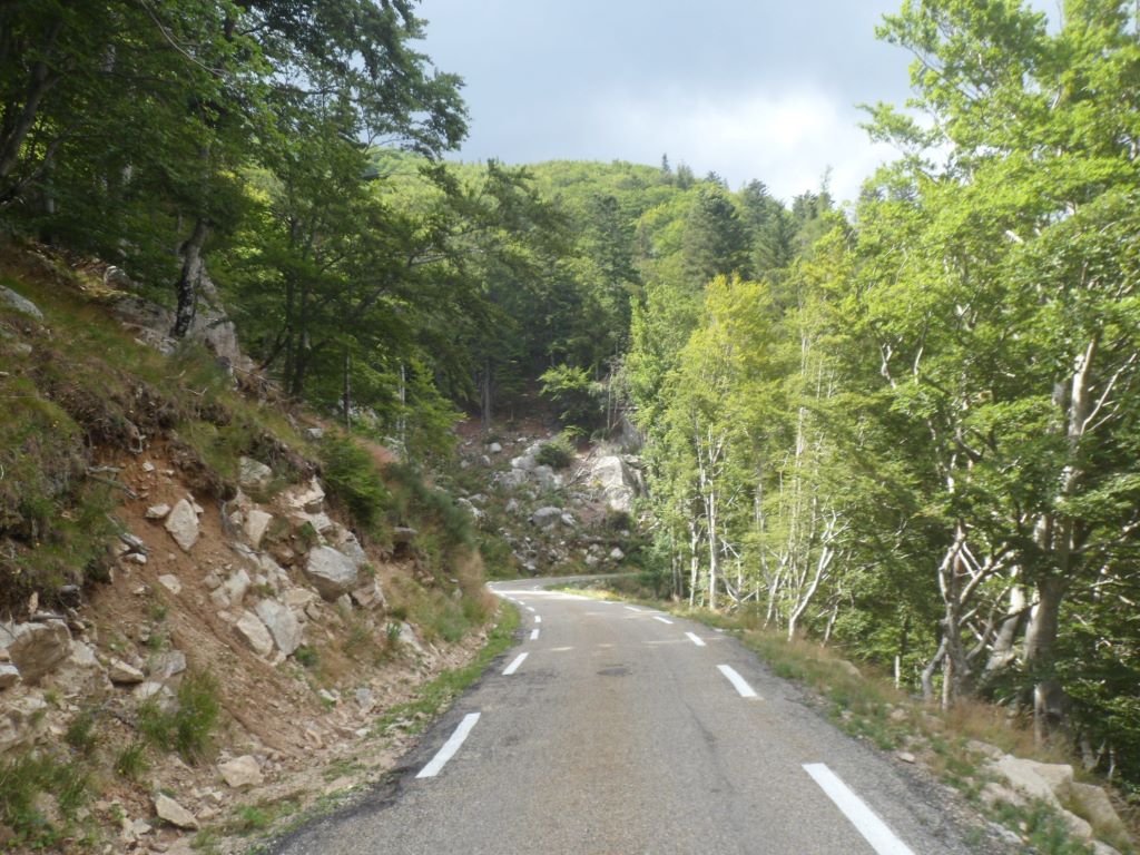
Another night with weird dreams – I remember I woke up remembering what went on in them, but I don't remember what went on (and probably would not report on those journeys either) – is it due to the nice bed with sheets from the gîte, having my laundry taken care of by the woman from the gîte? I share my room with an older man who talks a lot to himself, and who is rather sociable, and a man from whose mouth no words are sent into the world. They are two of a group of six 'cheating' hikers. I won't miss the toasted baguette they serve here for breakfast, when I mount my fully equipped bike, shortly after eight. It's cloudy, but there are some blue patches above also, notably in the east, the main direction of today, and certainly of the first 20 km. Within ten minutes I take my sun glasses from my pannier and put them on my nose – although around 8:30 the sun is definitely much higher than last year in north-west Spain at the same hour. First a wake up climb of 300 m up in 11.5 km – that's not too bad. The valley of the Jonte is rather open here, there are a few sidesteps, which by the nice views back/down help the spirit by showing the elevation gain.
Because of the sun the backward views are better than the views forward – and also the high rocks around that part of the Jonte are the most impressive ones. From the Col de Perjuret it's 23 km till Florac, of which the first part is mostly downhill.
|
Against the sun
|
|

|
|
View back 'with the sun'
|
|
Rough landscape, rough weather
|
|
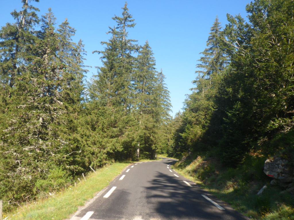
Onto the track of 2010
|
|
Resting place then
|
|
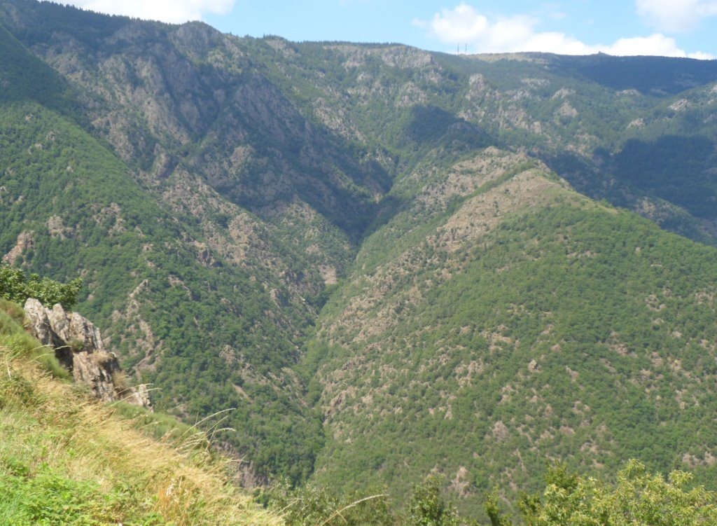
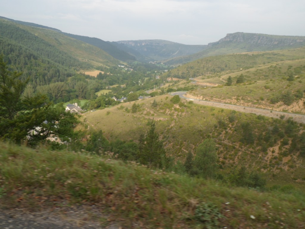
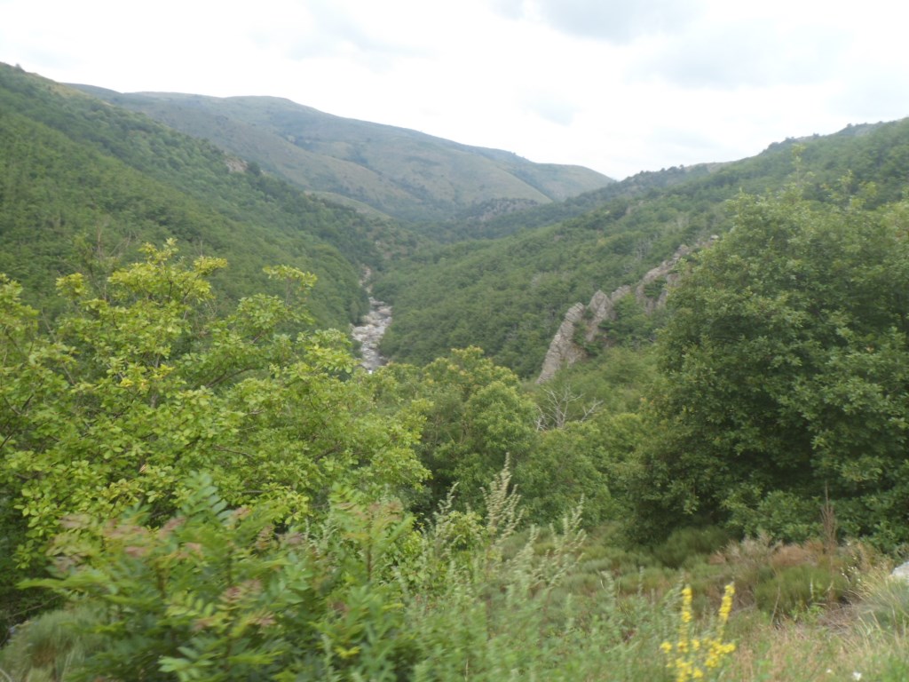
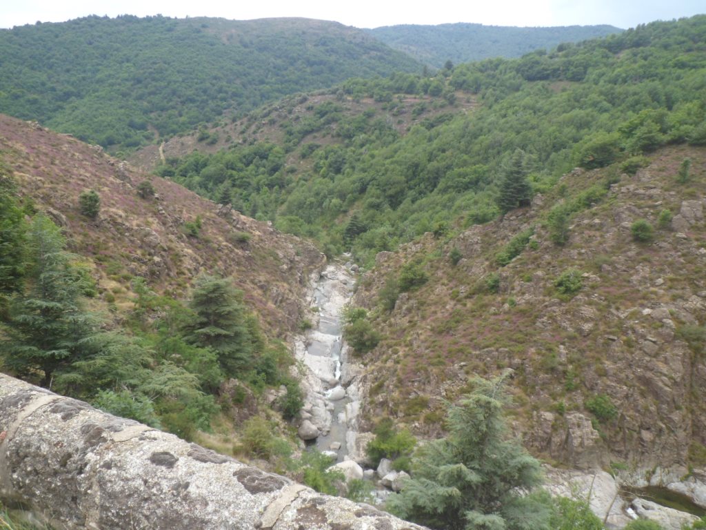
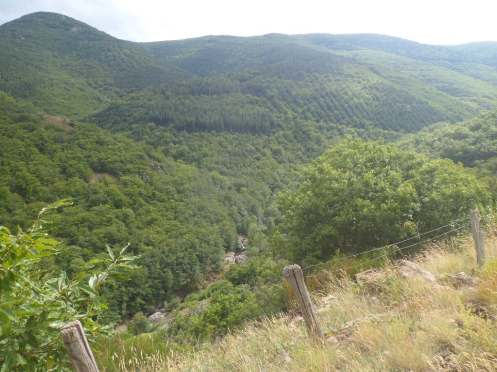
Quite impressive valley of the Tarnon
|
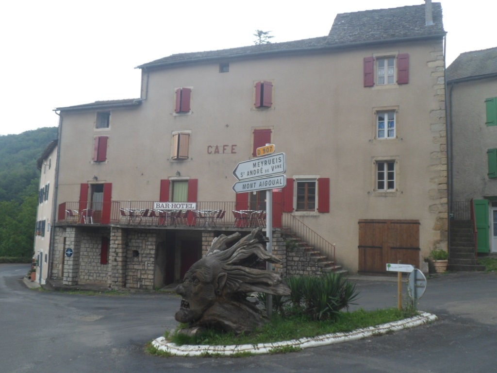
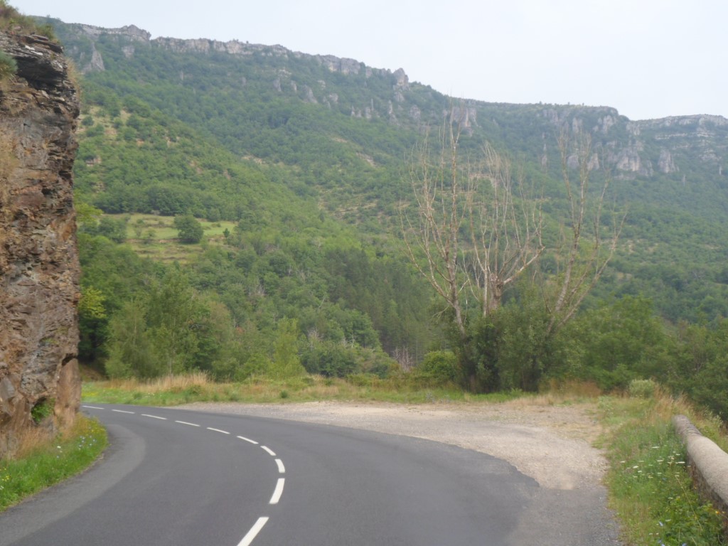
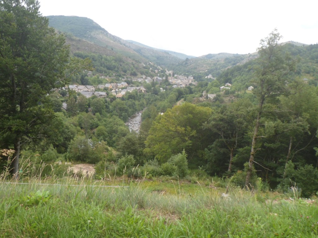
At Les Vanels I get onto the 2010 track again, along the Tarnon, which I will follow some 15 km. Very nice kms these are. In Florac it starts to drizzle, which is at a good moment since I had planned a coffee/pastry break here anyway. I write two more postcards (of a total of five) and send an sms to my cycling friend Remco. At Florac the Tarnon flows into the Tarn, and this last river I follow upstream (and during the first five km pretty much up), while my 'dry luck' seems to come to an end: it starts to rain. Since I will follow the same road for 45 km I put away/dry my map, which gives my pannier a strange, empty sight. Well, my luck is not too bad: the rain does not persist, and the wind is (again) much in my favour.
|
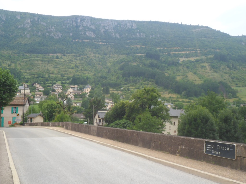
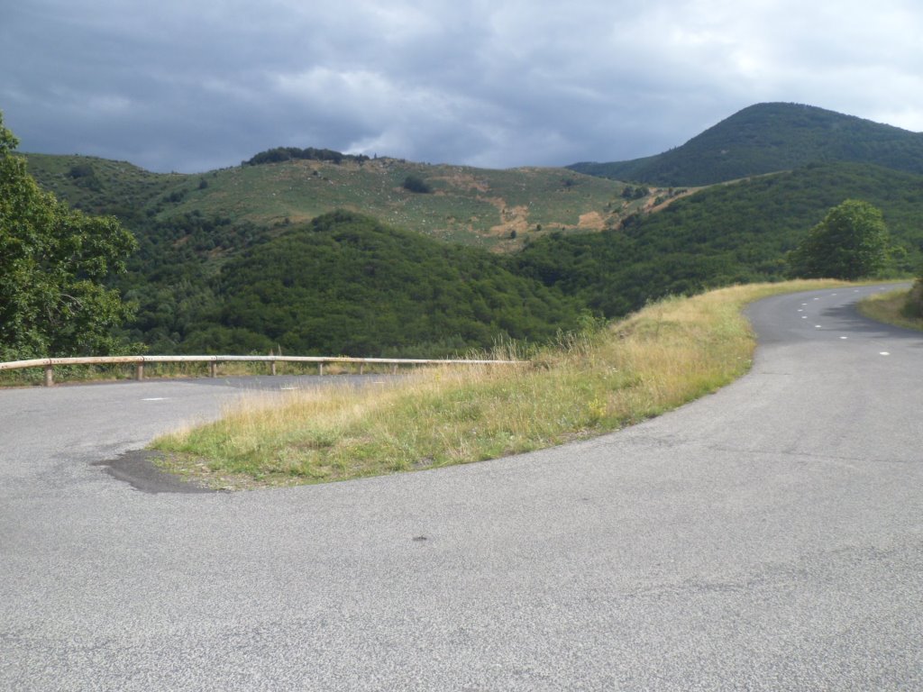
Leaving Florac (and the Causses de Méjean)
|
|
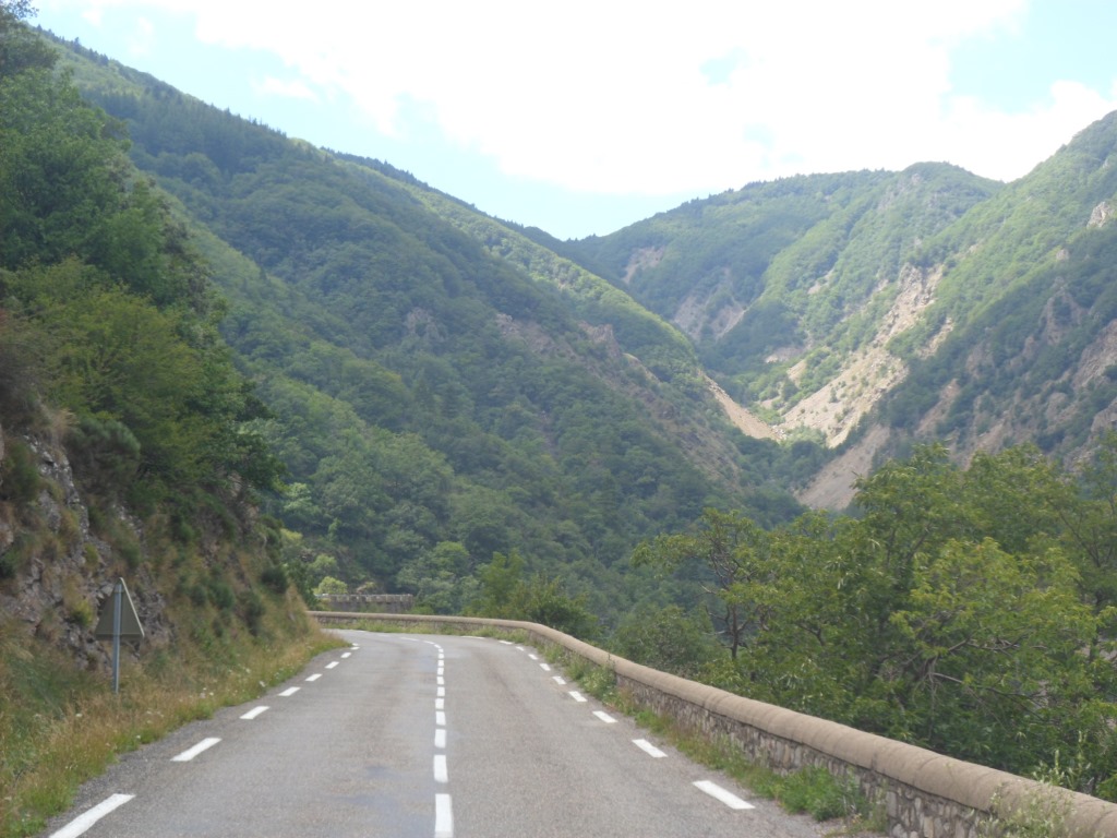
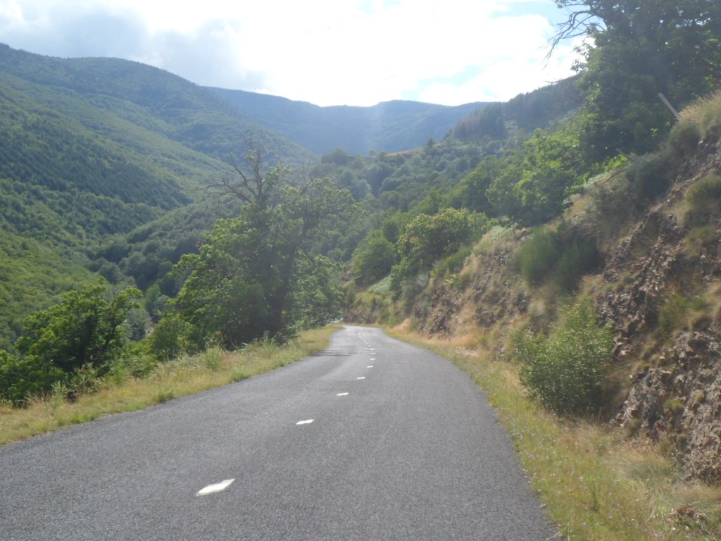
Rough landscape . . . .
|
|
. . . . along the Tarn . . . .
|
|
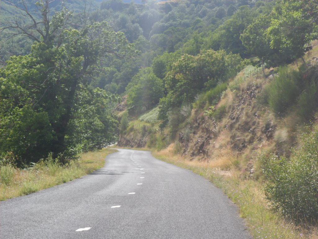
. . . . leading to Le Pont-de-Montvert
|
This year a short break – no coffee – in Le Pont-de-Montvert, only a break to buy some petit alimentation and to put on my rain coat.
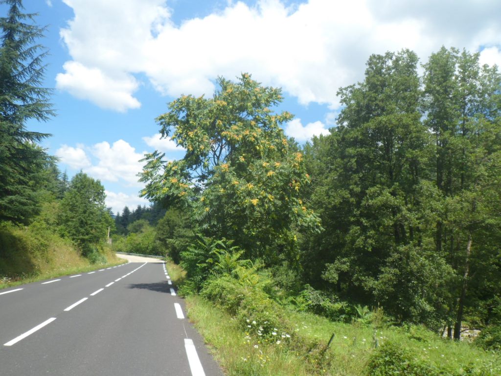
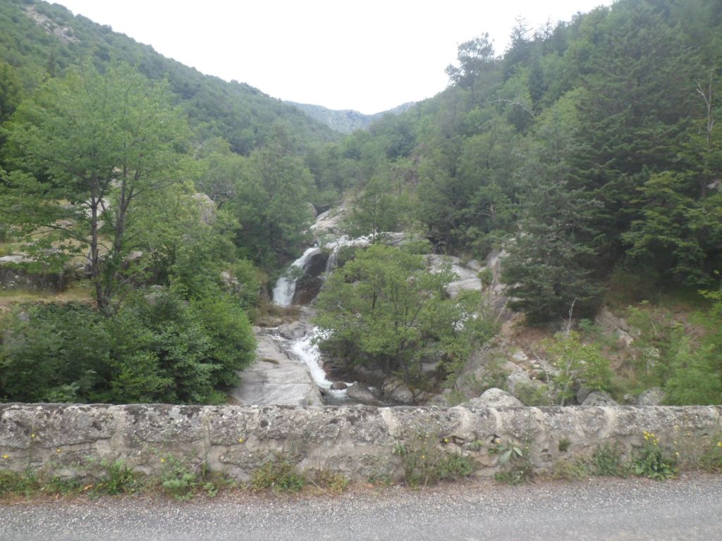
Again the rain does not set through, I take off my coat, and I 'fly' to the Col de la Croix de Berthel, which I may have crossed in 1987, riding from Millau to Allègre – it's too long ago, I can't remember (I only remember cheap wine and a headache the following day). What's also nice: after Le Pont-de-Montvert there is hardly any traffic anymore. And the Tarn is rather wild, until it turns left, into the mountains. (In the afternoon I'll come quite close to its source, but this I don't know yet). From the other side of the pass the climb looks much harder. It offers a beautiful descent through a rough, open landscape. The road has its roughness too: when I cross a bump too hard, one of my rear panniers drops off. And to my surprise the sun bleakly breaks through every now and then.
|
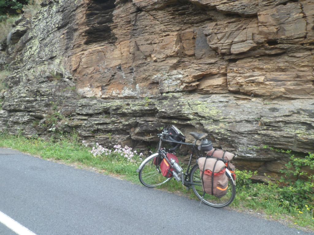
Rough roadside
|
|
Same rough roadside
|
|
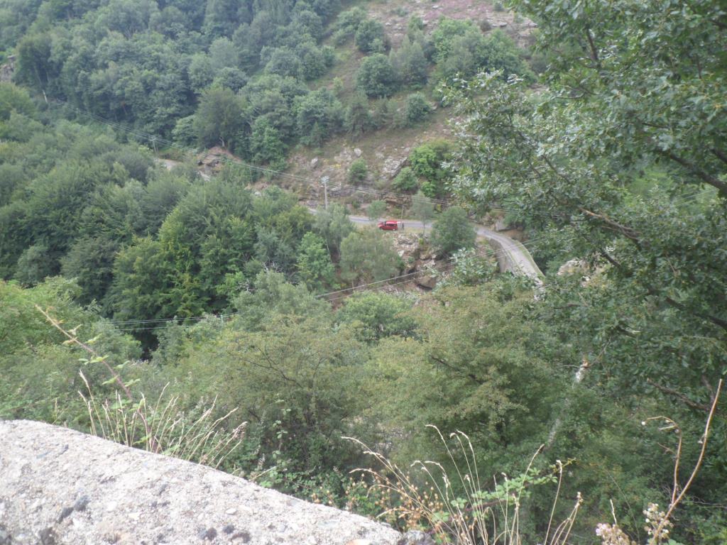
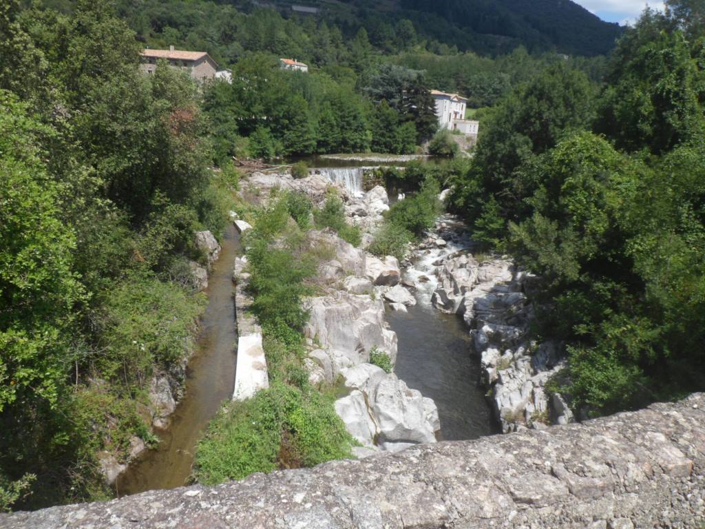
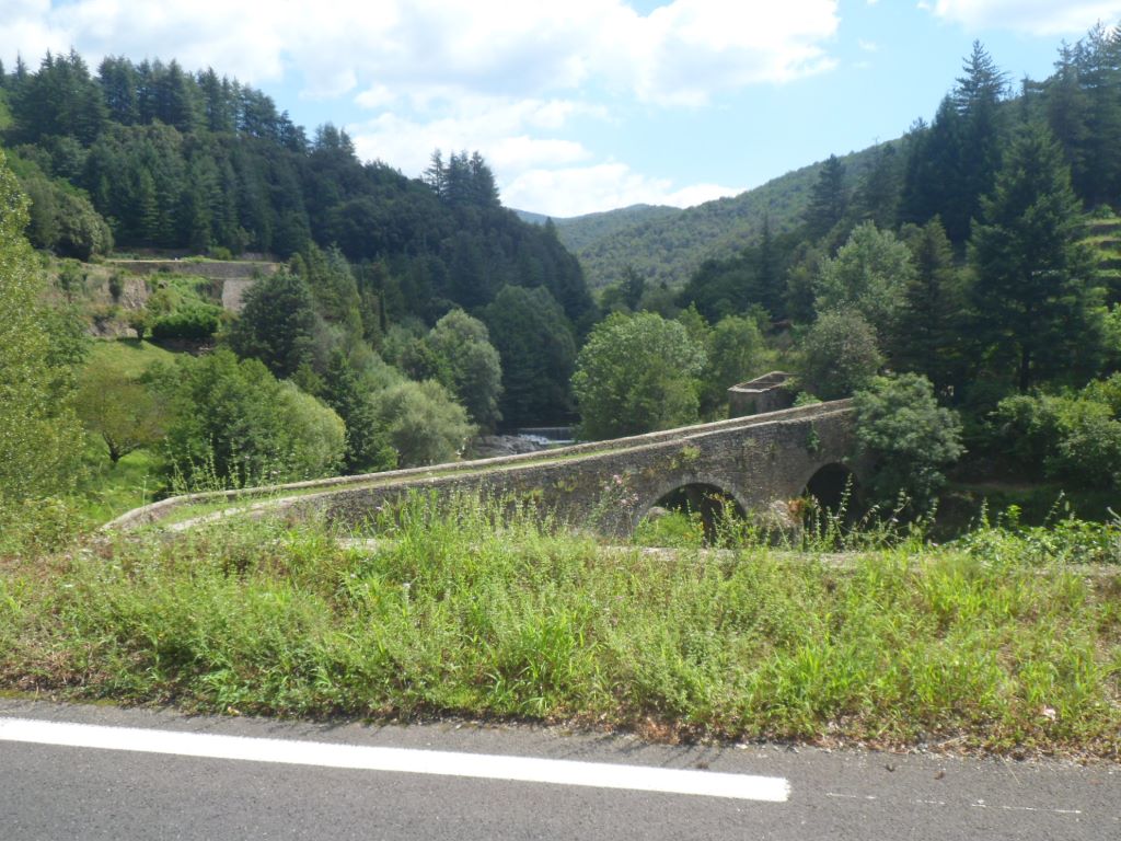
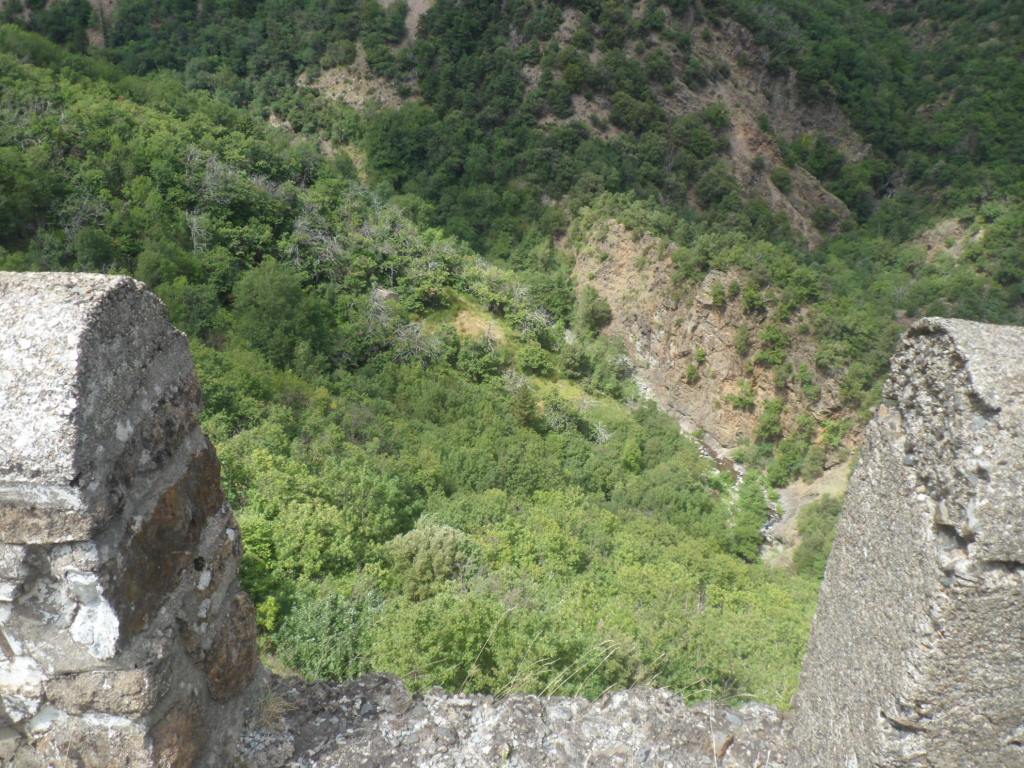
Bridge deep down
|
|
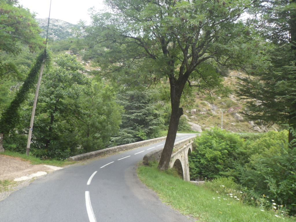
Deep down myself
|
|
View from the bridge
|
|
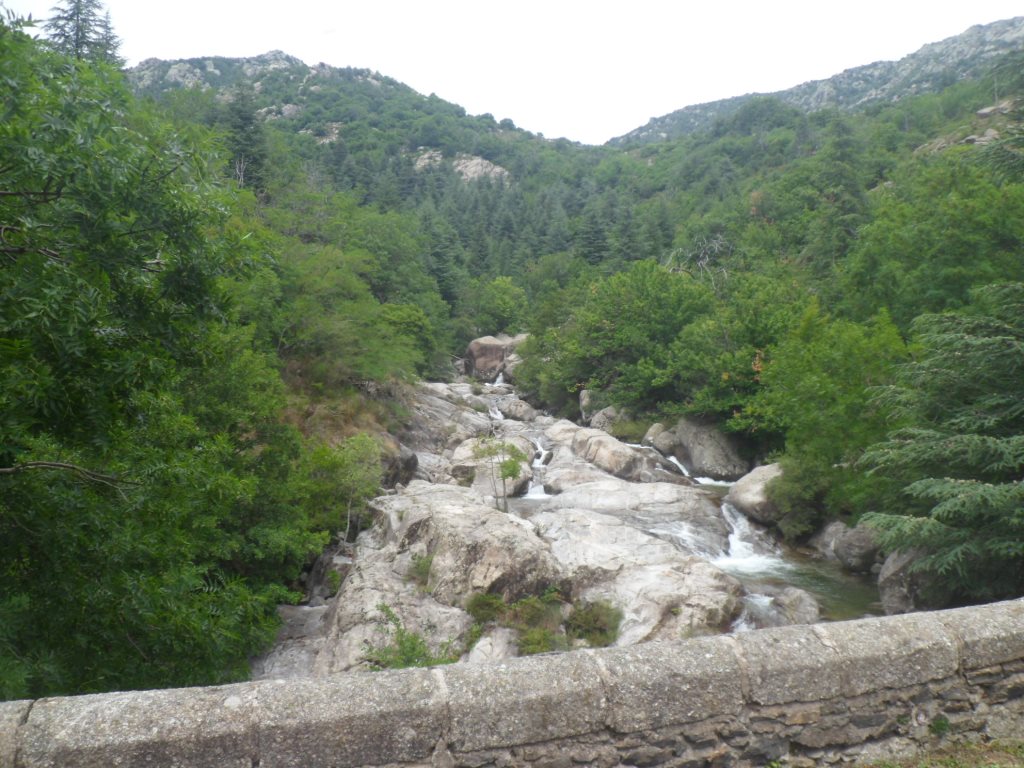
Another rough river . . . .
|
|
. . . . from another bridge
|
|
Shortly before Genolhac
|
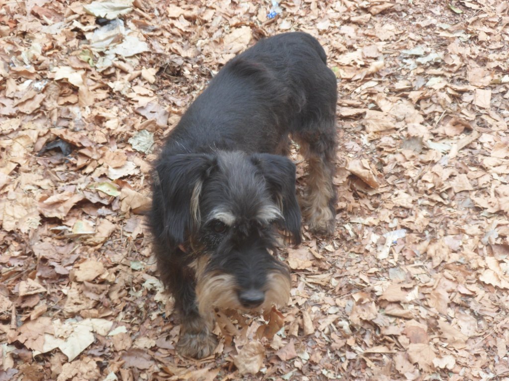
These 50 km from Florac to Genolhac offer too much to register, both for my head, and for my camera. Genolhac comes in fact a little too late (but still before a 'hunger knock'), especially since the last three km, on the D906 that continues till Villefort, the road starts to go up again. And suddenly it has become warm! I have difficulty finding a good place to sit and eat, and end up on a low wall around a parking lot, with a very modest stray dog, with whom I share some bread and cheese (and not my coke).
|
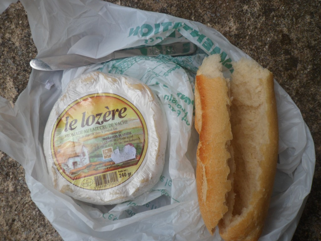
Du pain et du fromage
|
|
My lunch companion
|
|

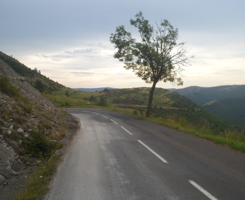
Start from a climb de 1ère catégorie
|
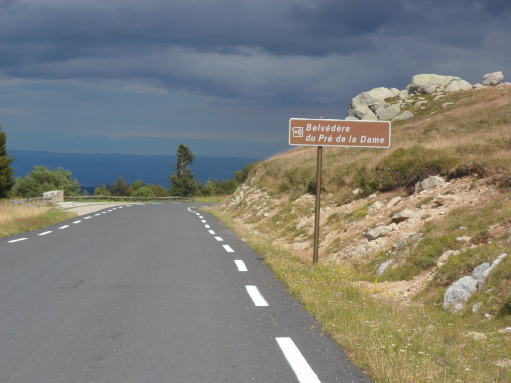
I have noticed an interesting alternative for the not too attractive D906.
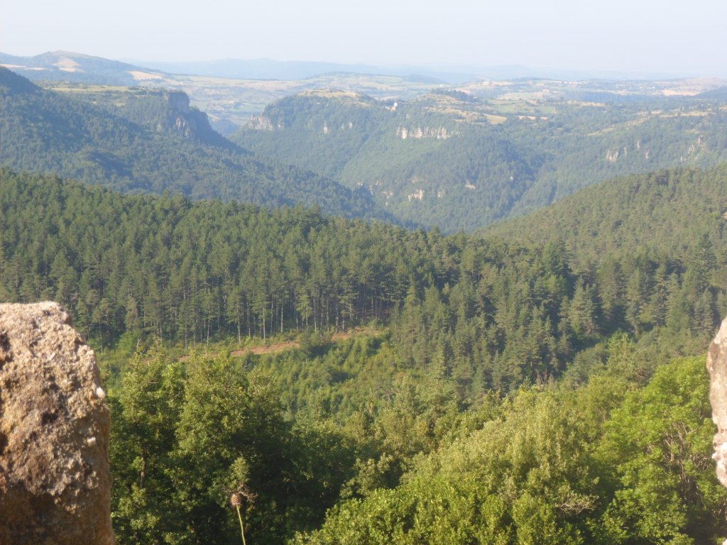
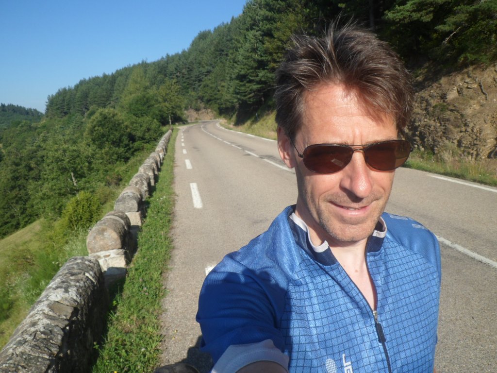
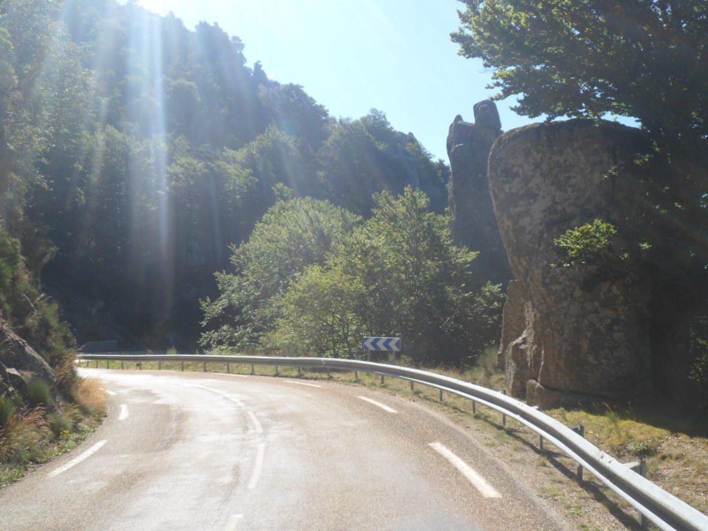
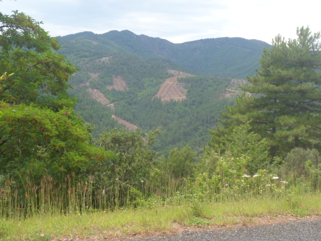
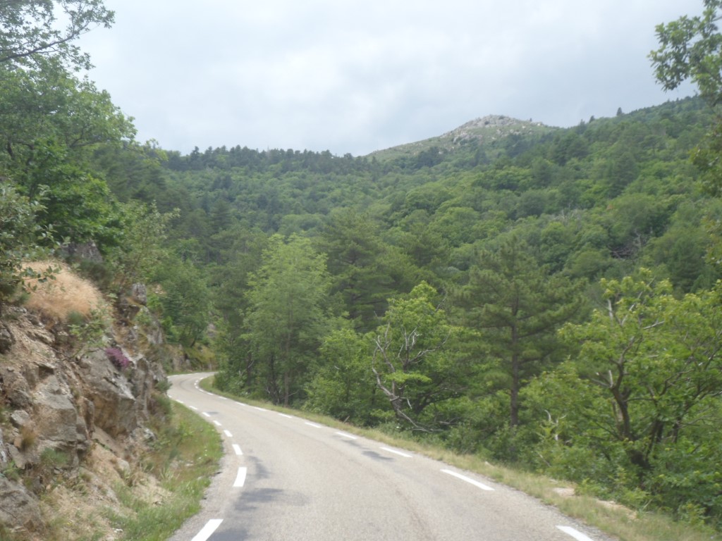
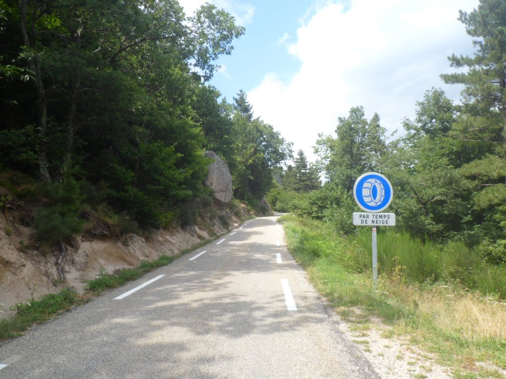
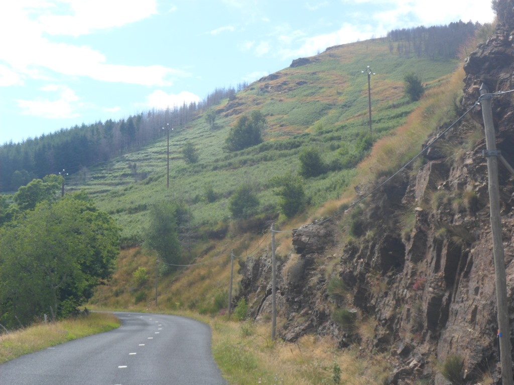
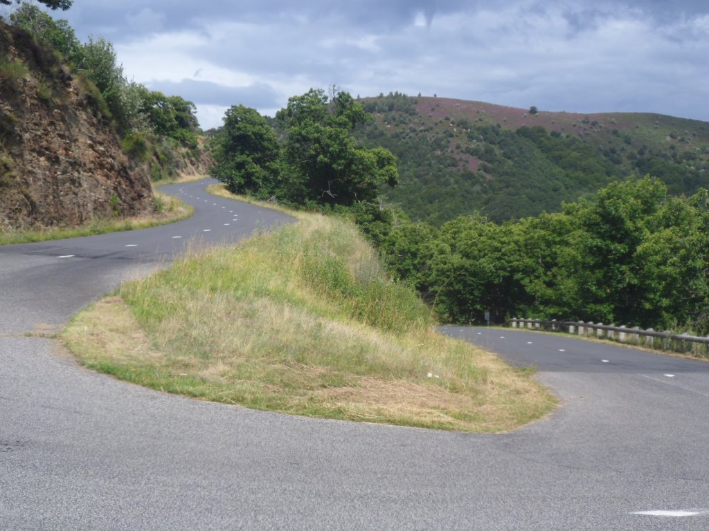
It looks MUCH quieter than this big road, BUT it means having to go up 900 m in 15 km instead of 150 m in 18 km – with risk of rain. I had seen it on the map, but it wasn't clear to me if it would continue till 'the other end'. Now it seems it does, so a decision has to be made, and since the knees seem okay with it, and there's enough time, today for once I opt for the hard way. The 'test' turns out fine. It's a nice, quiet, tiny road, most of the time with grades between 4 and 7.5 per cent, all very well indicated (and for such an unknown pass ... ) except for (steep) km 12, just around a belvédère at which I grant myself a short break to take in the nice views in a more relaxed way and score a few pictures with a stable camera. Also some student from the university of tourism (I guess ;-) has turned his or her creativity into putting small drawings with also names at the outer side of the hairpin bends. How cute :-( What's also nice is that the mountain range keeps me considerably out of the (northern) wind.
|
Nice tiny . . . .
|
|
. . . . and silent road
|
|
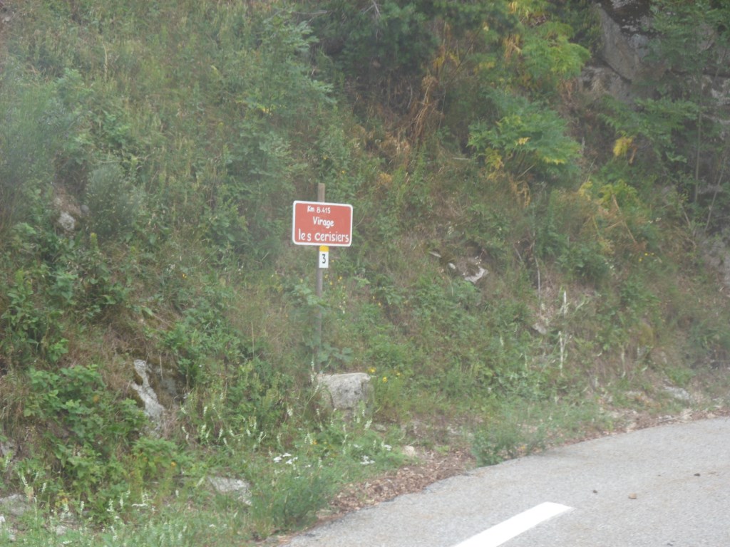
The bends are named and numbered
|
|
Tiny and silent . . . .
|
|
One turn above the belvédère
|
|
Almost at the top
|
|
Alarming clouds
|
|
|
|

Natural dolmen?
|
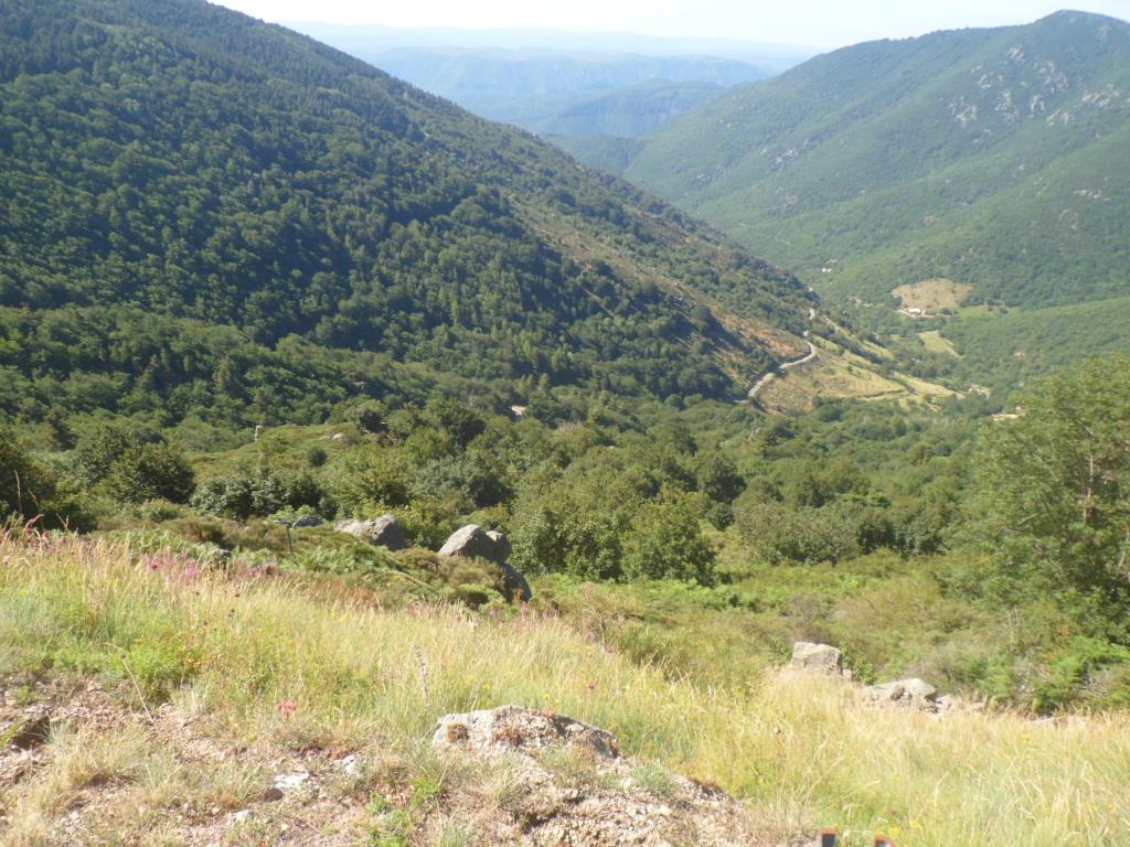
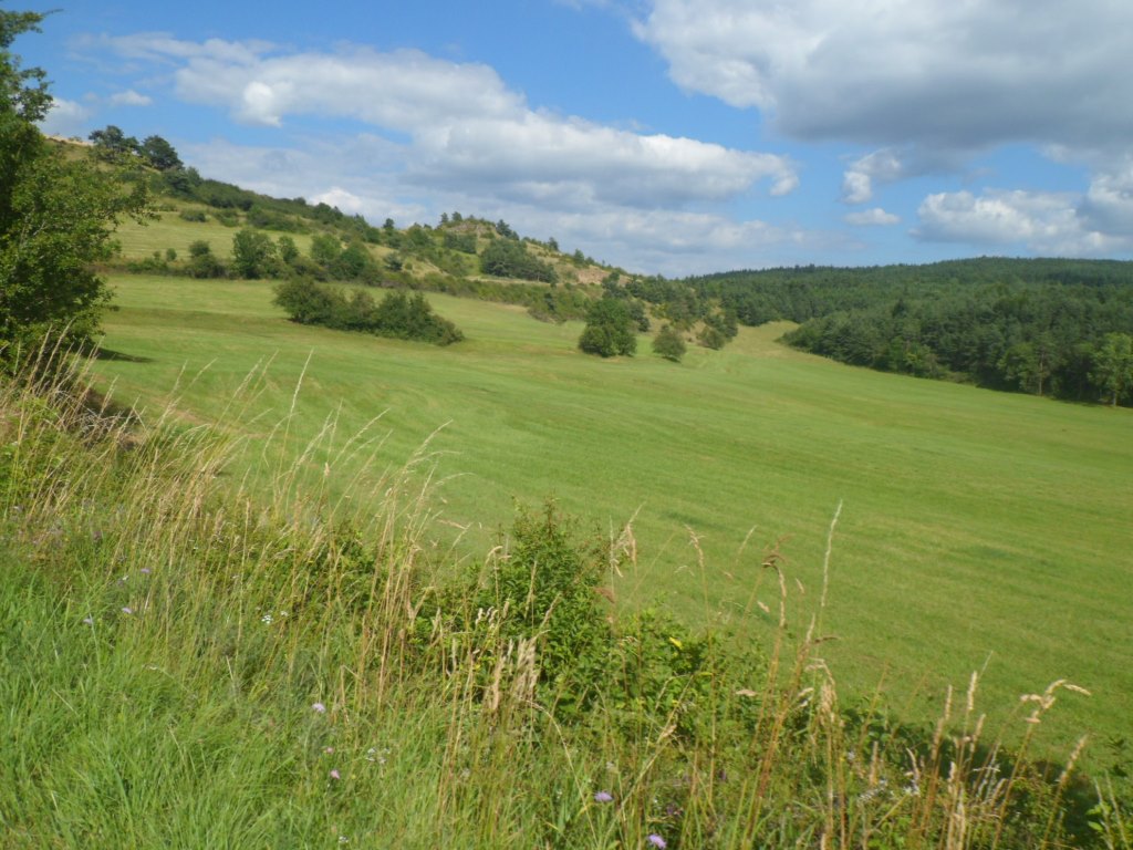
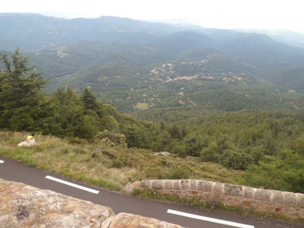
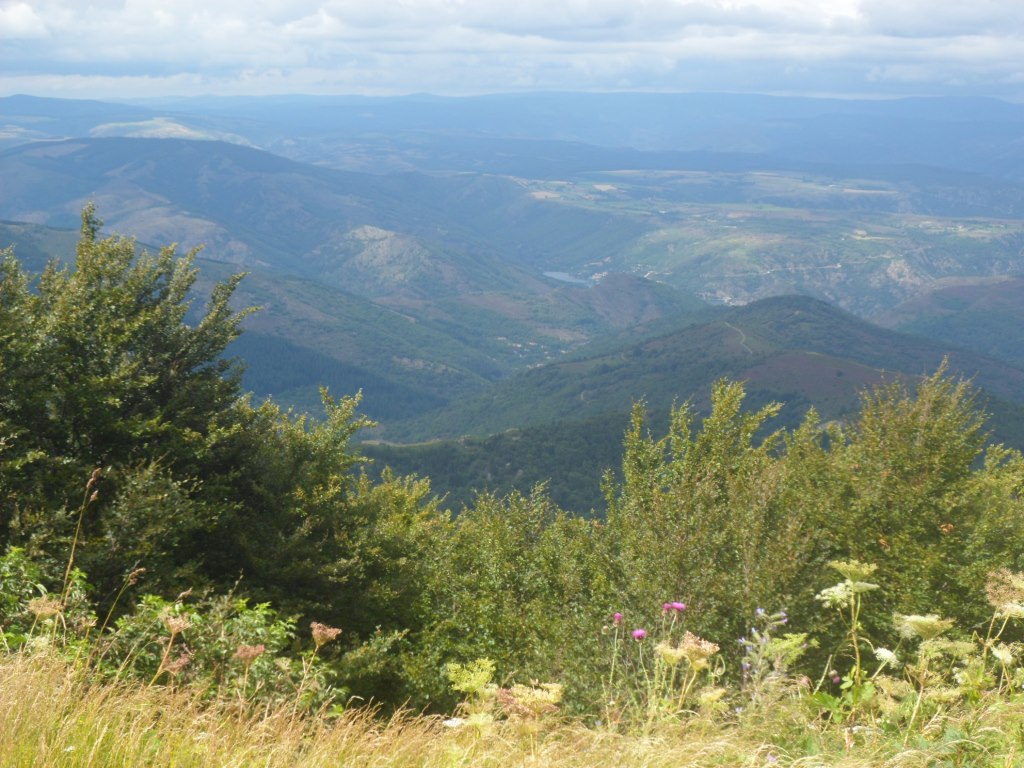
At the top (1450 m, so no new highest point) the sky is spectacular, with mostly dark clouds but also a few sunny spots, and to the north, where the storage lake in the Altier, just north of Villefort, looks much smaller than it is, the views are similarly grandiose. A long descent awaits me – from the north the climb may well be rated 1ère catégorie, thought I doubt whether the Tour de France has ever visited it. There are very fast sections, but the speed record remains 62.2 km/h for at least one day longer. It is too beautiful not to BRAKE several times to make photographs:
|
Storage lake far down (and the road up from it)
|
|
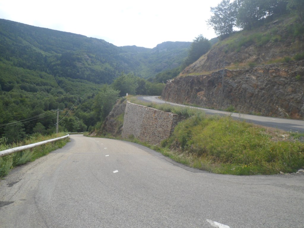
GREAT descent
|
|
Oh these BEAUTIFUL . . . .
|
|
Cévennes!!
|
|
|
|
|
|
|
|
|
What a beautiful dessert for a beautiful étape! Down in Villefort it's warm. The gîte is not the one from 2010. It is one of the accommodations of a holiday resort/village just outside of the town. When I phone to ask for directions a man says he'll pick me up, and indeed in a few minutes a kind of golf cart is arriving, which I can follow for 1 km (half of which, already on the terrain, is very steep!) The hall looks like a canteen of a camping site, not very attractive, my room (which I have for myself) is very basic, whereas the price, € 52,-, is rather high. Also I don't expect much of the dinner, but here I'm positively surprised: it's lovely, and, with two older couples from Lorraine also quite lively. Halfway through the evening it starts to rain. Hard. As a matter of fact: Hard! Well, Remco already replied to my sms and told me 200 km up north – at Langeac, to be precise – it has been raining for two whole days, so I can't complain about today's weather. Well, from people I meet on my way (or newspapers in restaurants) I've learned that France has been suffering from a bad summer since the beginning of July. I find myself a quiet corner to catch up on today in my journal, and work through a lot of pros and cons for the next two stages. I don't call back later (as I promised) the Dutch guy from a gîte near Vernoux-en-Viverais (what a beautiful name) – why the hell was he so unfriendly? Instead I reserve a bed (I think) in some kind of gîte in Champis; they tell me there will be a sleeping place in a bungalow (?).
And it rains and it rains and it rains . . . .
↓ ↓ ↓
→
Next day
←
|
|