|
02-08-2014 Rencurel – Châtillon-en-Diois 126 km
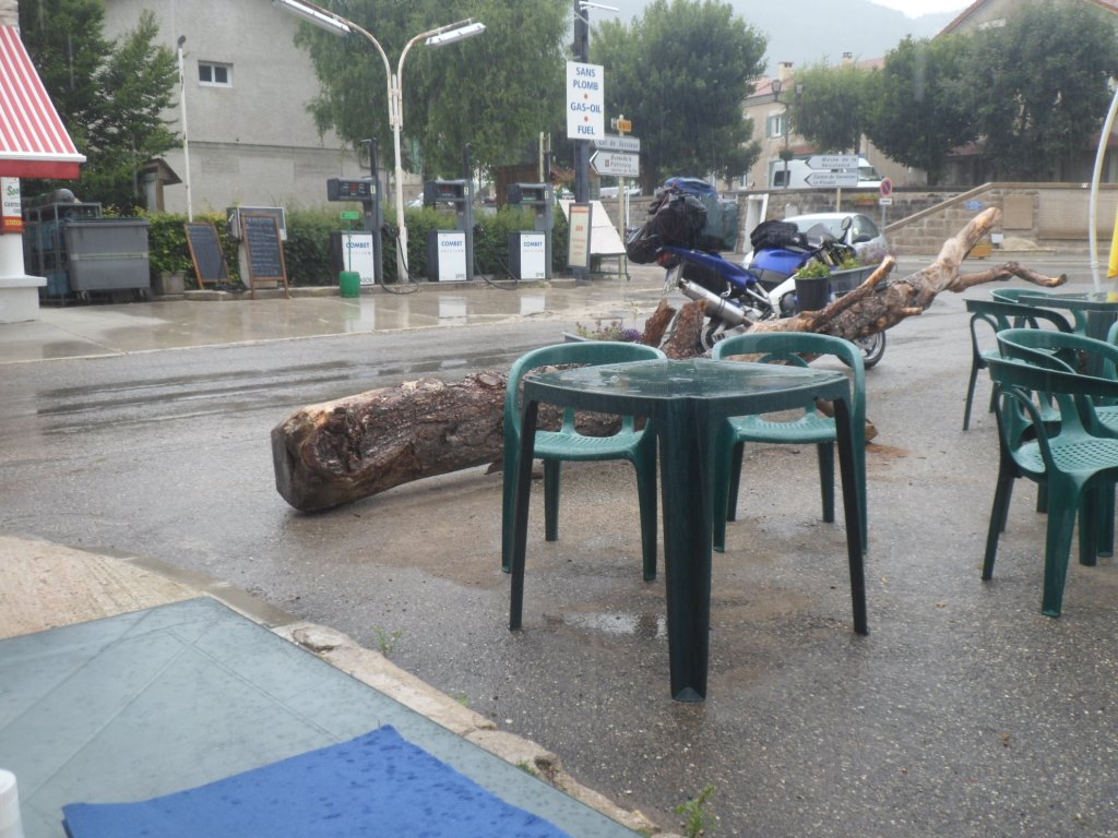
Solo breakfast on a morning that doesn't look too bad, weather wise.
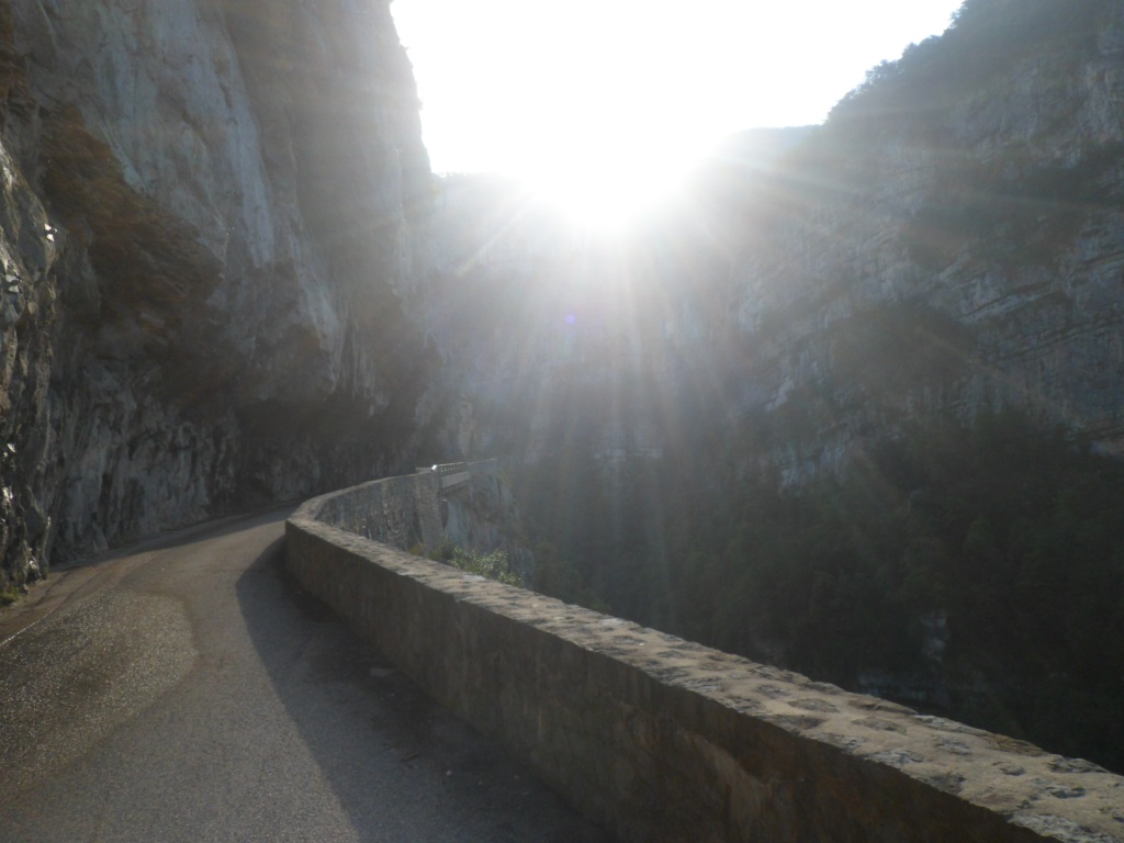
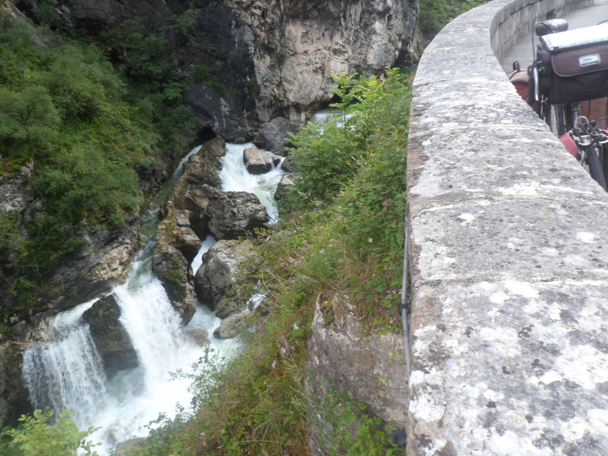
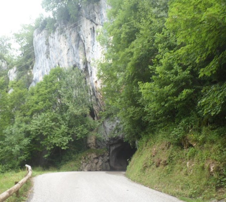
The others get down later and have to feed their horses first – horses need an hour to feed and digest a certain amount of hay (I learned yesterday). A downhill start, first to Rencurel, from which I think I can spot the Gîte des Rimets high up, then steeply down to La Balme de Rencurel. It is a beautiful morning indeed to descend the just reopened lower part of the gorges de la Bourne. No more signs of éboulements, the French road workers did a good job.
|
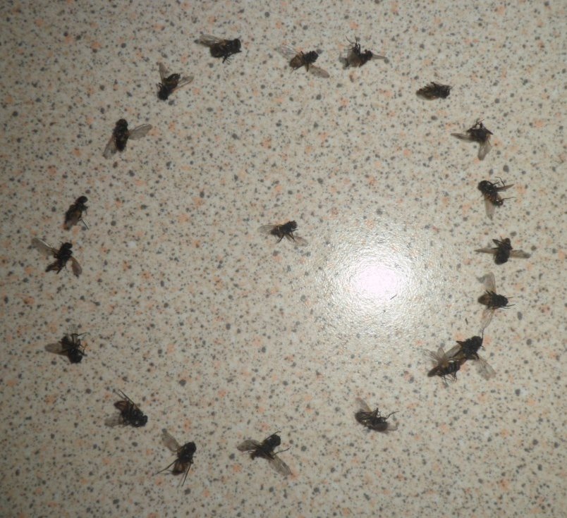
Catch of one night ;-)
|
|
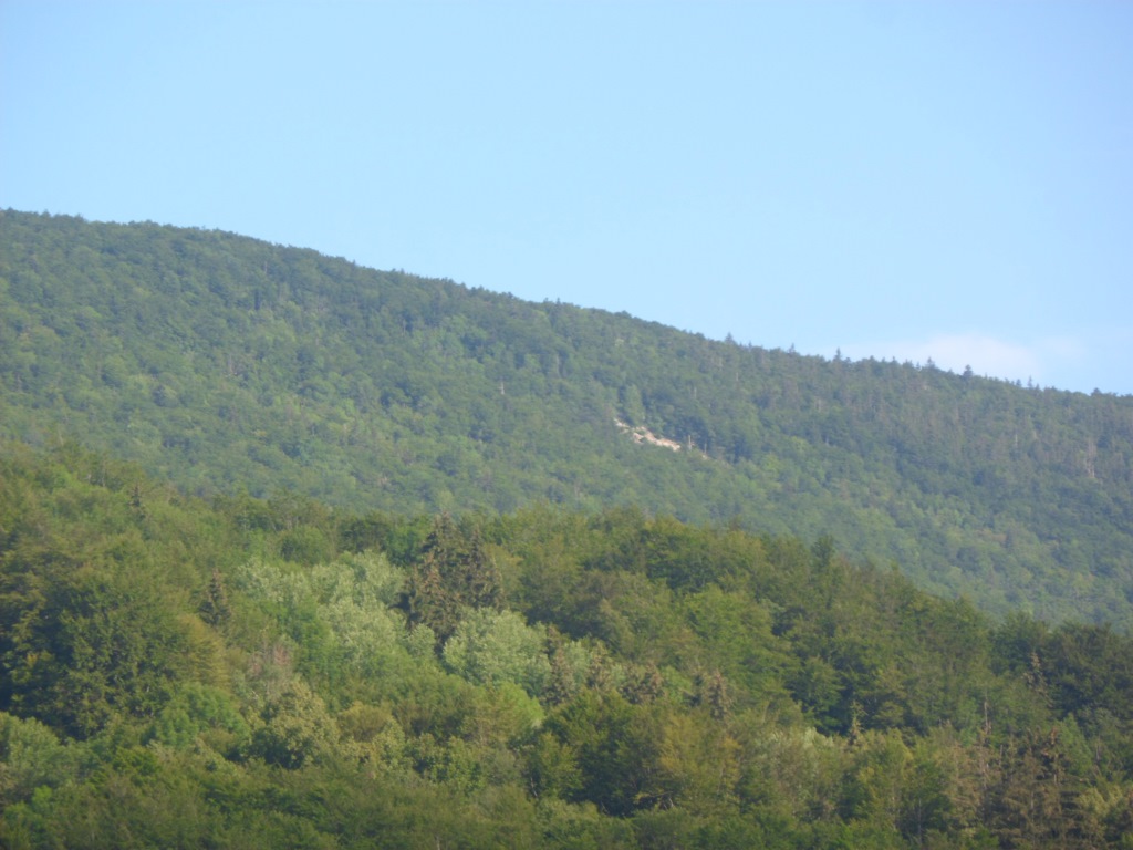
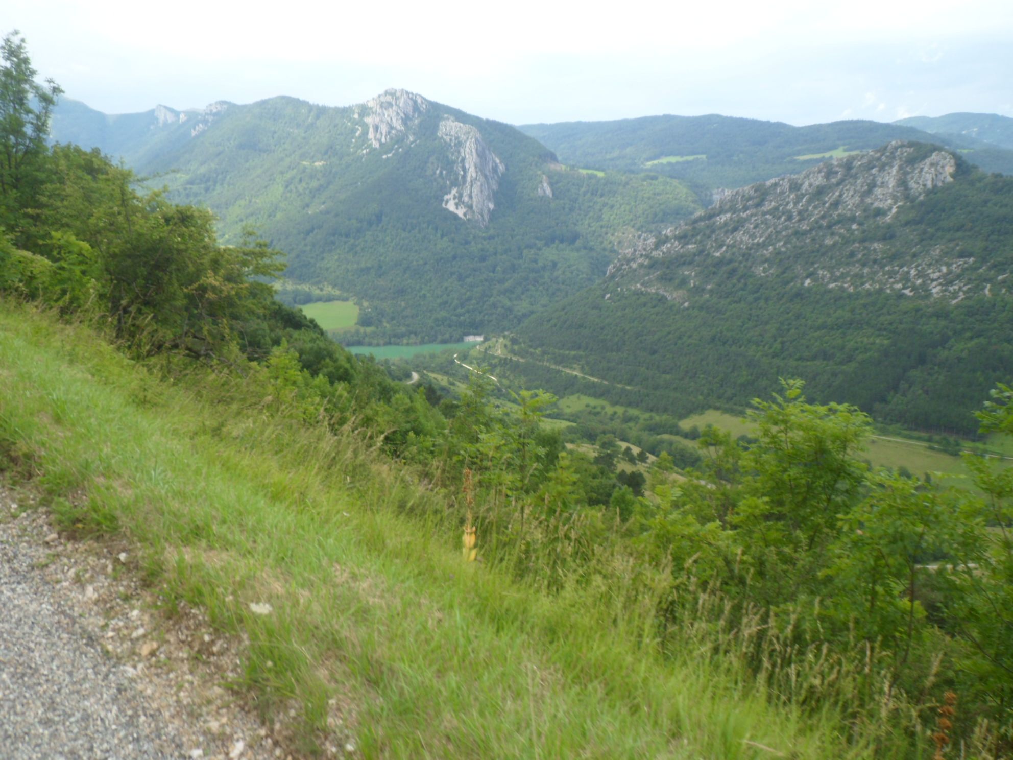
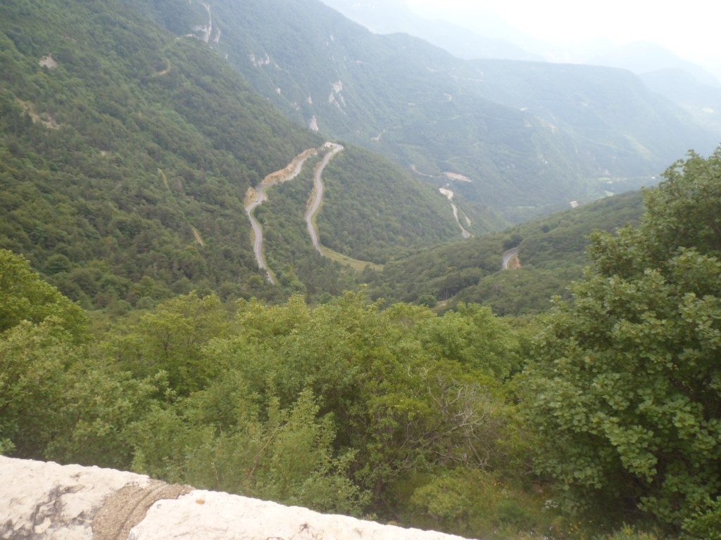
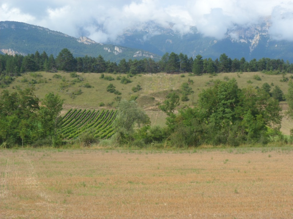
View back to Gîte des Rimets (I guess)
|
|
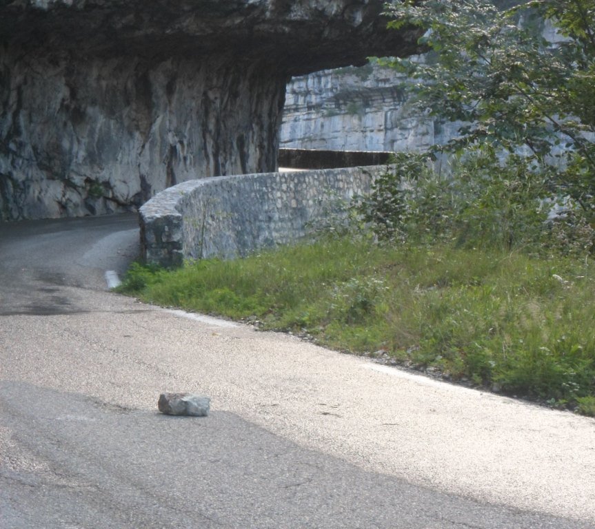
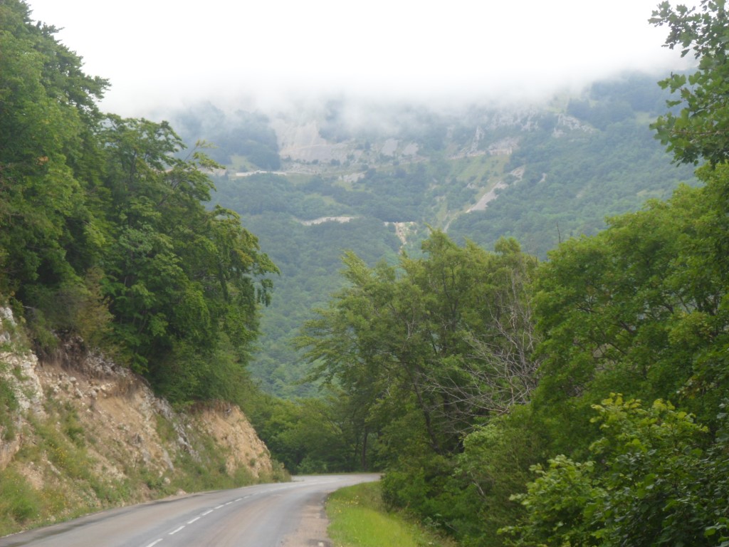
No more éboulements – well, some . . .
|
|
One of many Points sublimes
|
|
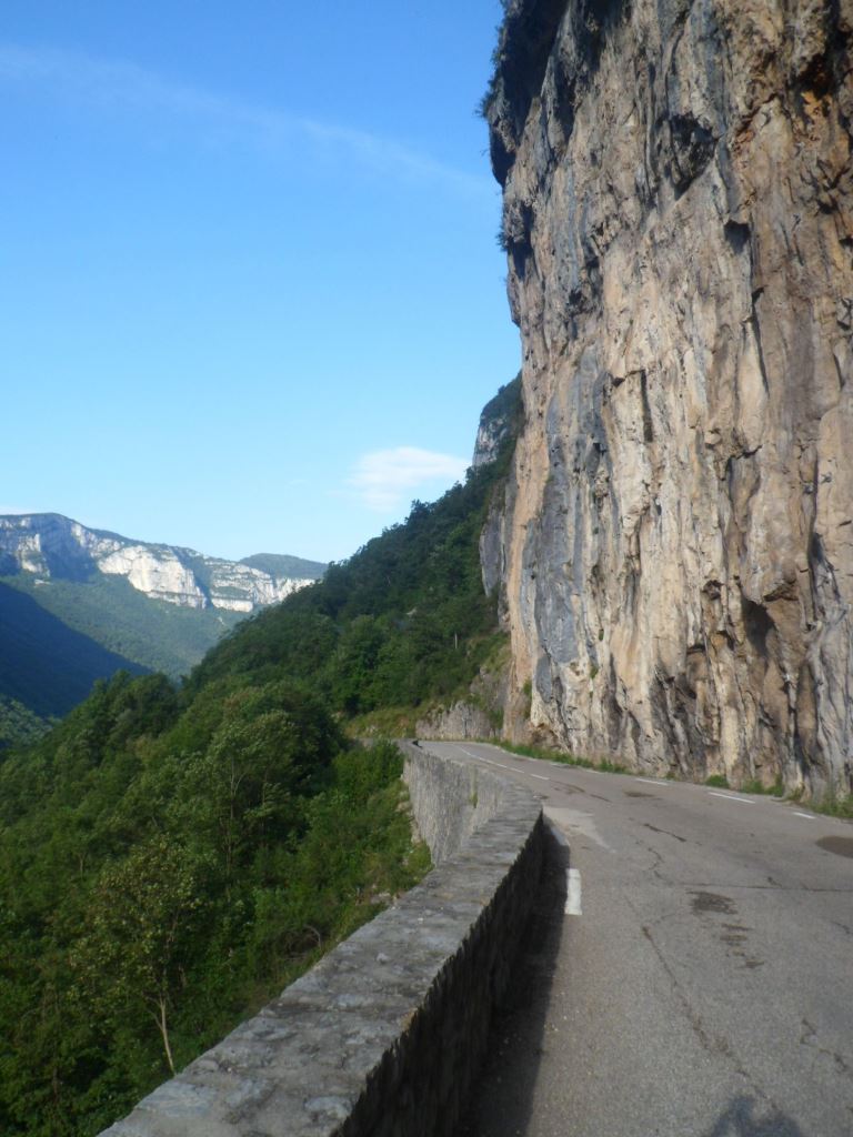
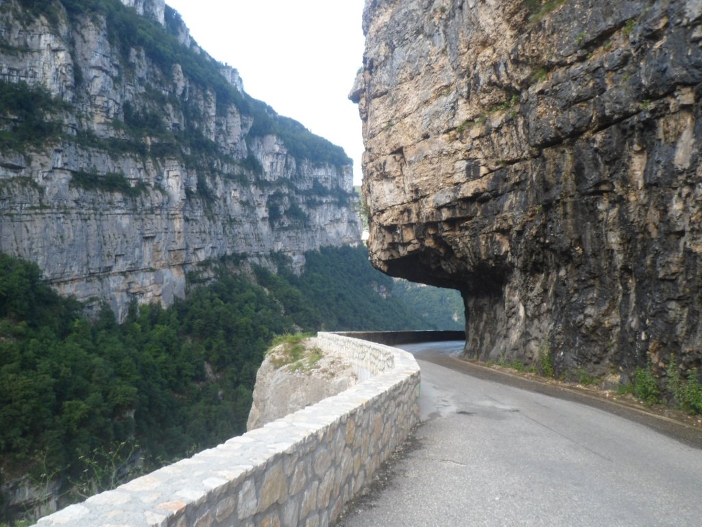
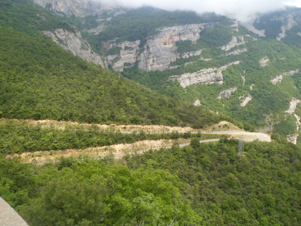
Colossal cliffs
|
|
View backward
|
|
View forward
|
|
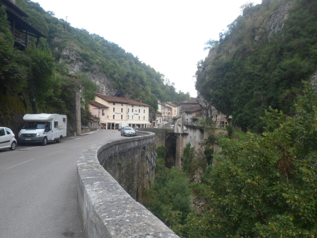
Pont-en-Royans
|
|
What a lot of water
|
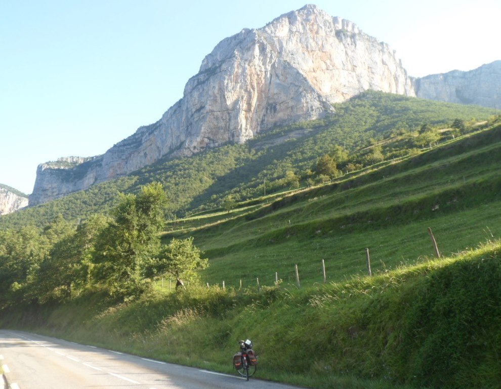
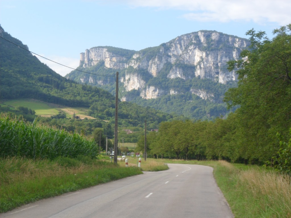
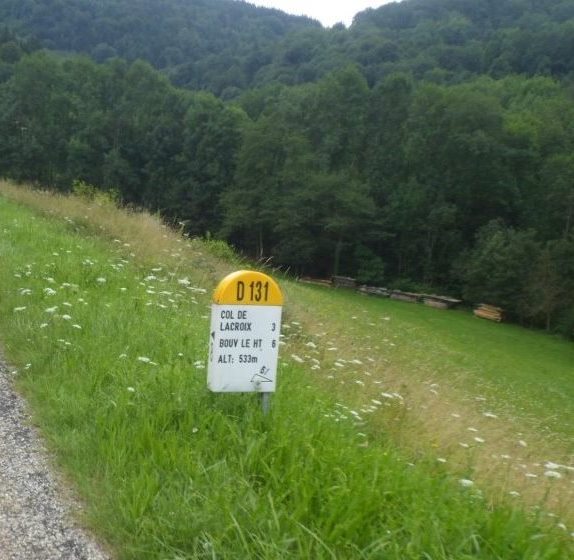
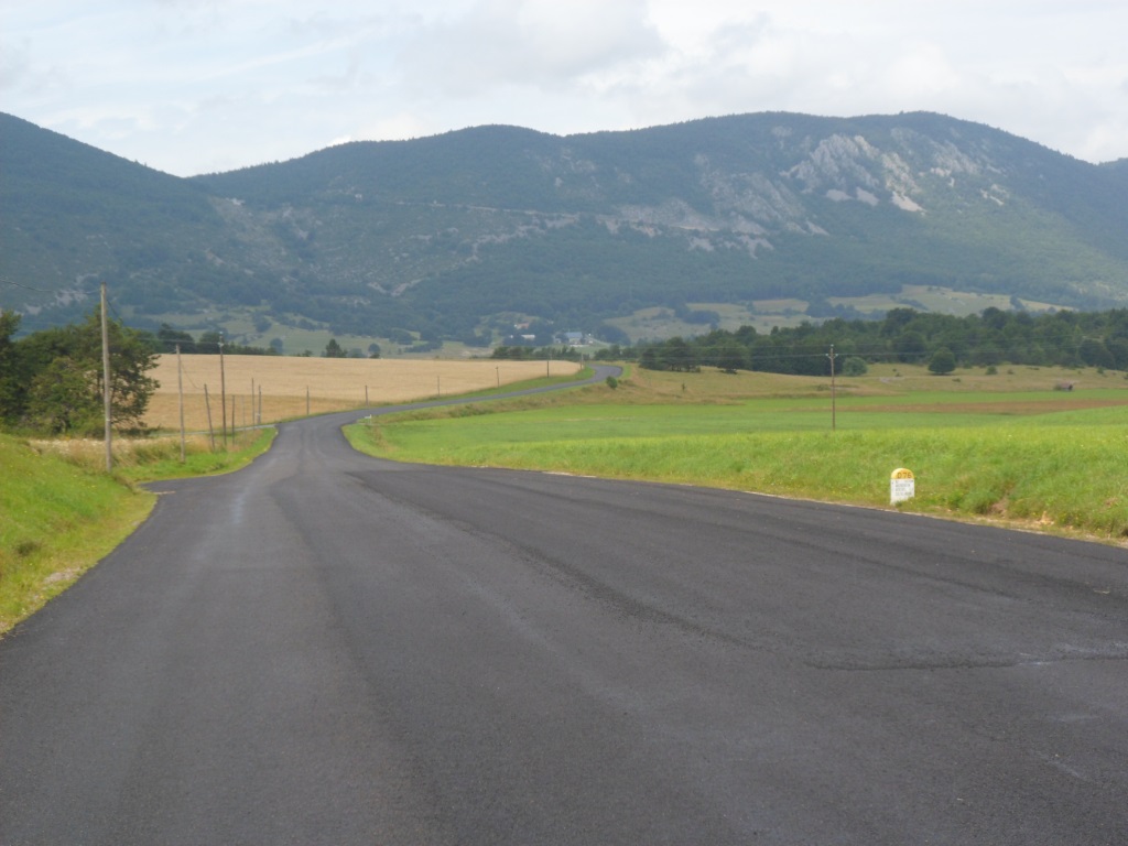
And what a lot of water the river carries around Pont-en-Royans! I have an early break, around 9:30 a.m. in Saint-Jean-en-Royans, with already 30 km (easy) km behind me. I catch some (last) sun rays; in the south the sky is getting overcast quickly. From the two routes to the south I have never tried from the north I try the easier one, via the Col de la Croix/Col du Pionier (the other 'missing' one, over the Col de la Machine, I once did from the south, that must have been in 1993 ...).
It is quite an easy climb, with open views, especially to the west, where I came from two days ago. It just takes its time, and if it weren't for a sign along the road mentioning its name, just after a tunnel, I wouldn't have known where exactly is the top.
|
Southward bound
|
|
Next 'project'
|
|
Typically Vercors . . .
|
|
Lac de Bouvante
|
|
Tunel du Pionier
|
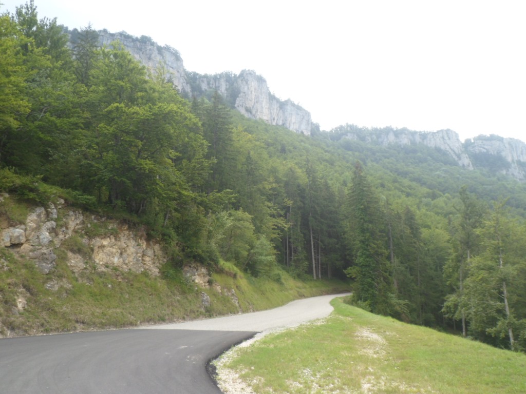
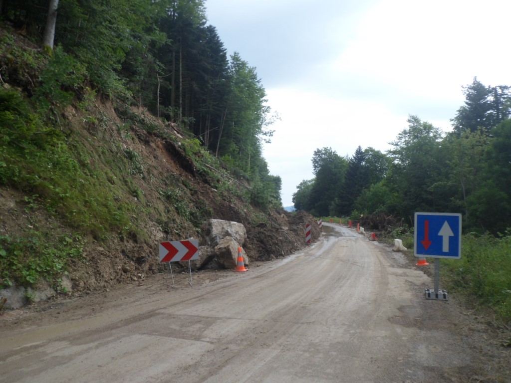
The D331 ends in the D199, which feels like an unusually wide route forestière, and on which I go up a little longer, while it starts to rain, to the Col de la Portette. I expect an easy 12 km from this 'pass' (at 1175 m) to the Col de la Chau (at 1337 m), but I am quite mistaken: the climbing seems never to end. This part of the stage, over a road on which the éboulements have not been cleared away yet, with trees blocking the views, continuous drizzle, wind in my face, but mostly with this going up I don't gather, is not the most appreciated part of today's stage. As it happens, the Col de la Chau is not the highest point in the road: the last 1.5 km are downhill (and at home I can check that during this part I go down ± 100 m). After the Col de la Chau the scenery opens up, and the descent to Vassieux-en-Vercors – with an extra layer of clothes – is short and fast. First I think I will buy some stuff and sit down at a public village bench. Contrary to what I expected/hoped it's already past one o'clock – but there is a shop that's open – the shopkeepers are having lunch in front of the shop, but I'm in need of a coffee too, and maybe something hot to eat to warm me up as well. And . . . there's a thunderstorm arriving. One and one makes two: I have a coffee and a plate of French fries at a restaurant, outside, just out of reach of a serious thunderstorm.
|
Travaux
|
|
Vassieux-en-Vercors (finally!)
|
|
Rainy break
|
|
Road to Col de Saint-Alexis
|
|
End of the rain?
|
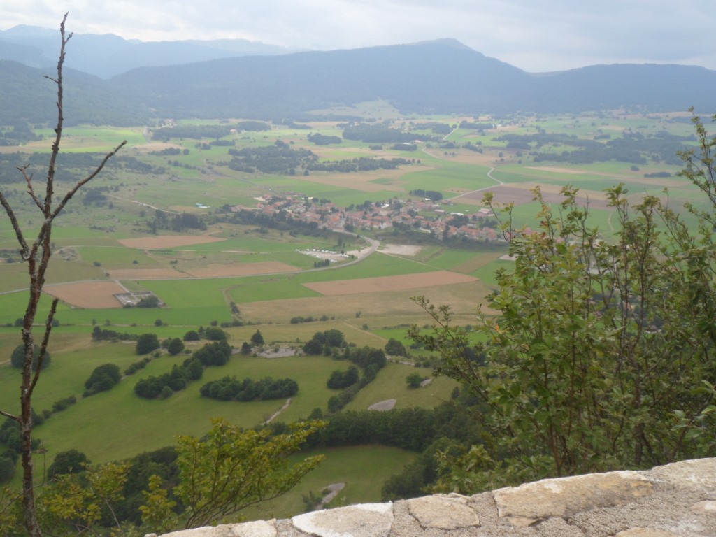
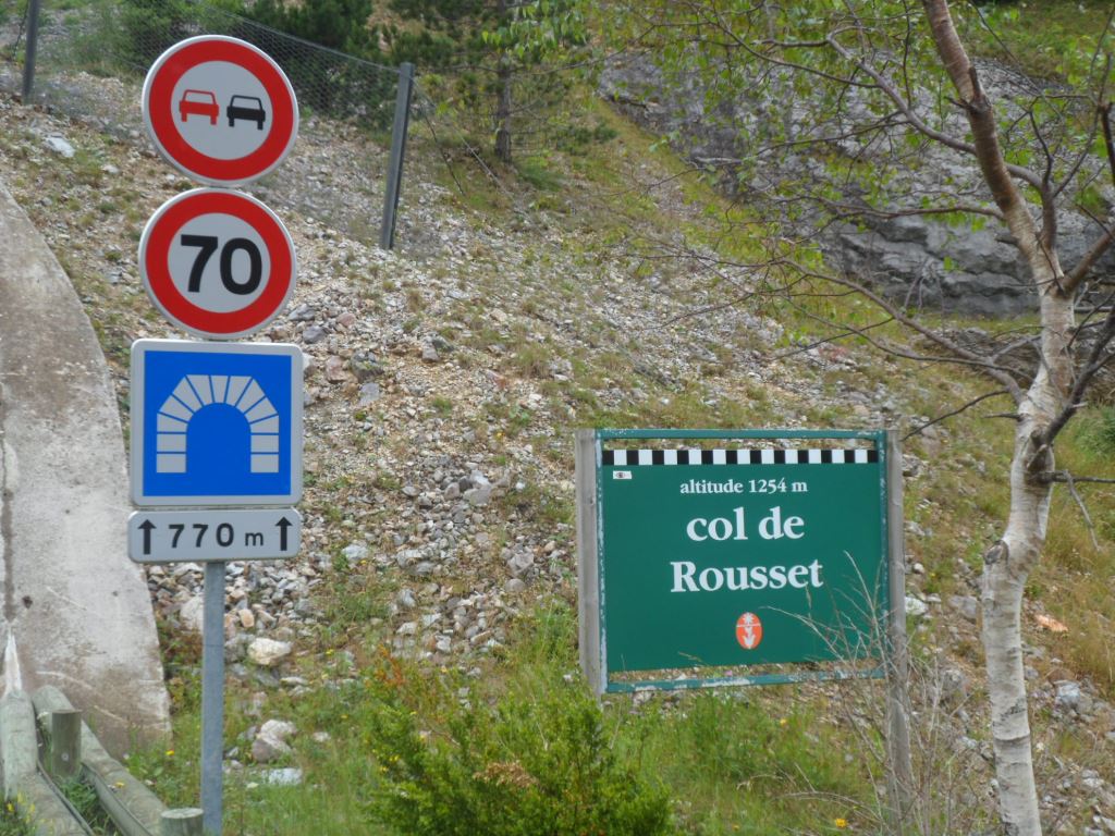
The thunderstorm having blown over I continue to the Col de Rousset, the one with the tunnel and then the nice view to the south. There's the not very noteworthy Col de Saint-Alexis (at almost the same altitude) in between, after which the views over the valley with Rousset (the village) are nice. I keep my fingers crossed for the weather 'at the other side' – the woman from the shop thought it might well be much better there, but alas, not so today. Luckily it doesn't rain too hard during the long descent, but there's a drop every now and then till Chamaloc – where I take a short refuge in a bus shelter.
|
Albeit . . . .
|
|
. . . . the meteorological conditions . . . .
|
|
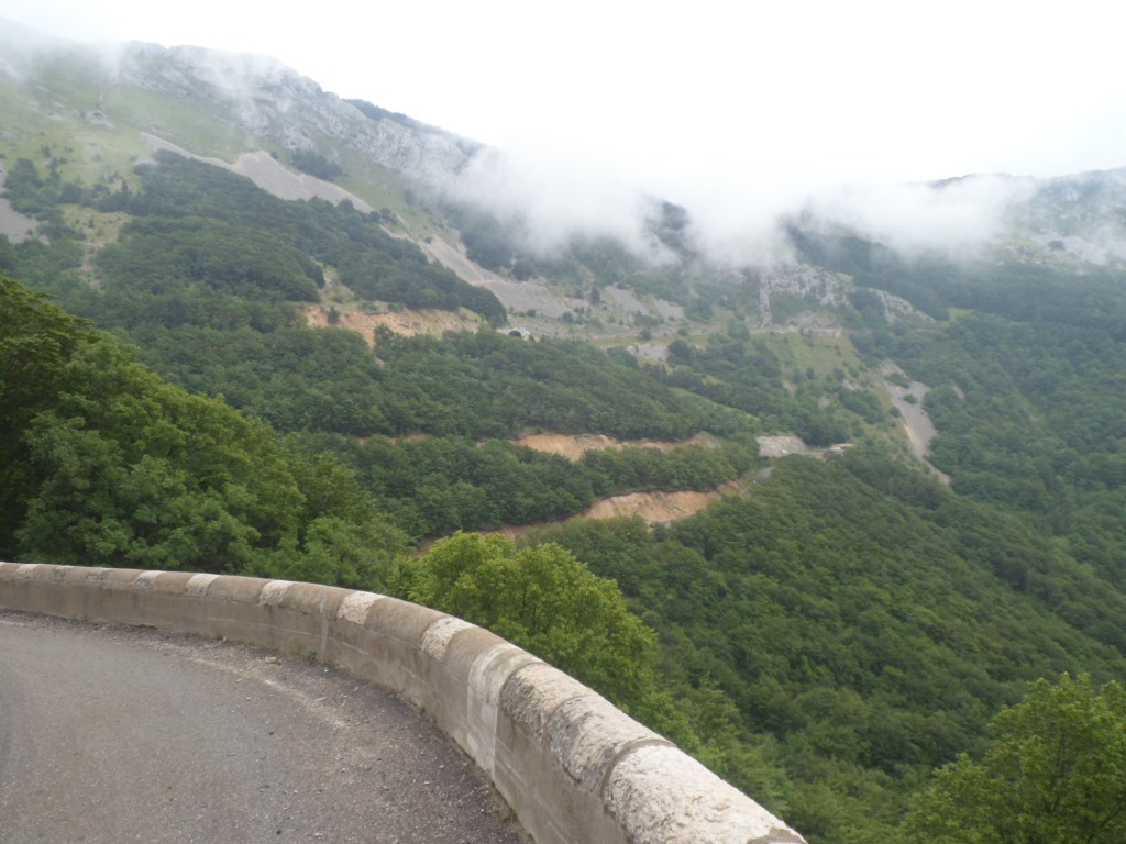
. . . . the descent from the Col de Rousset . . . .
|
|
. . . . is still quite OKAY
|
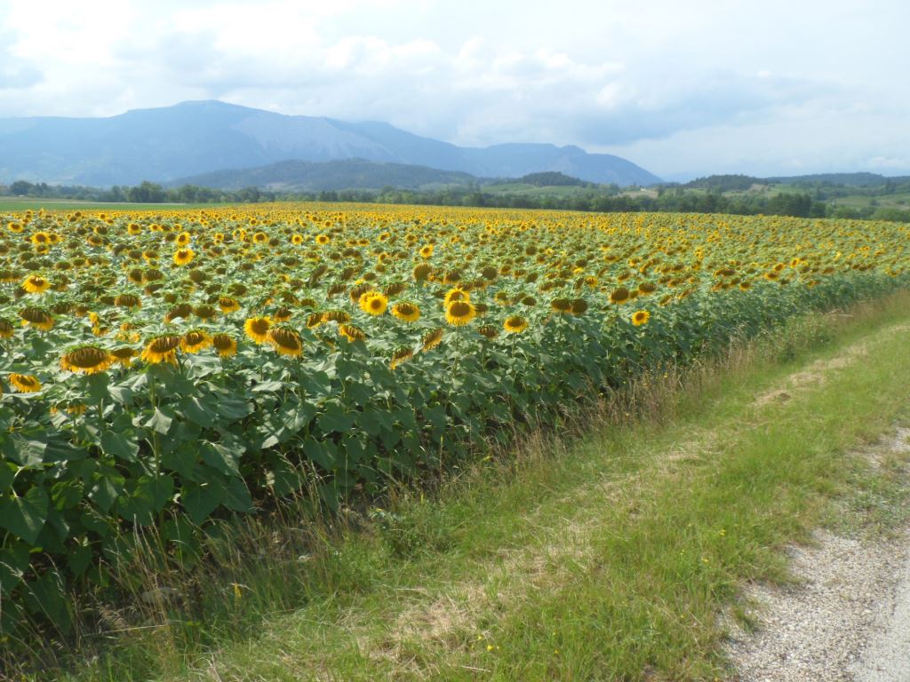
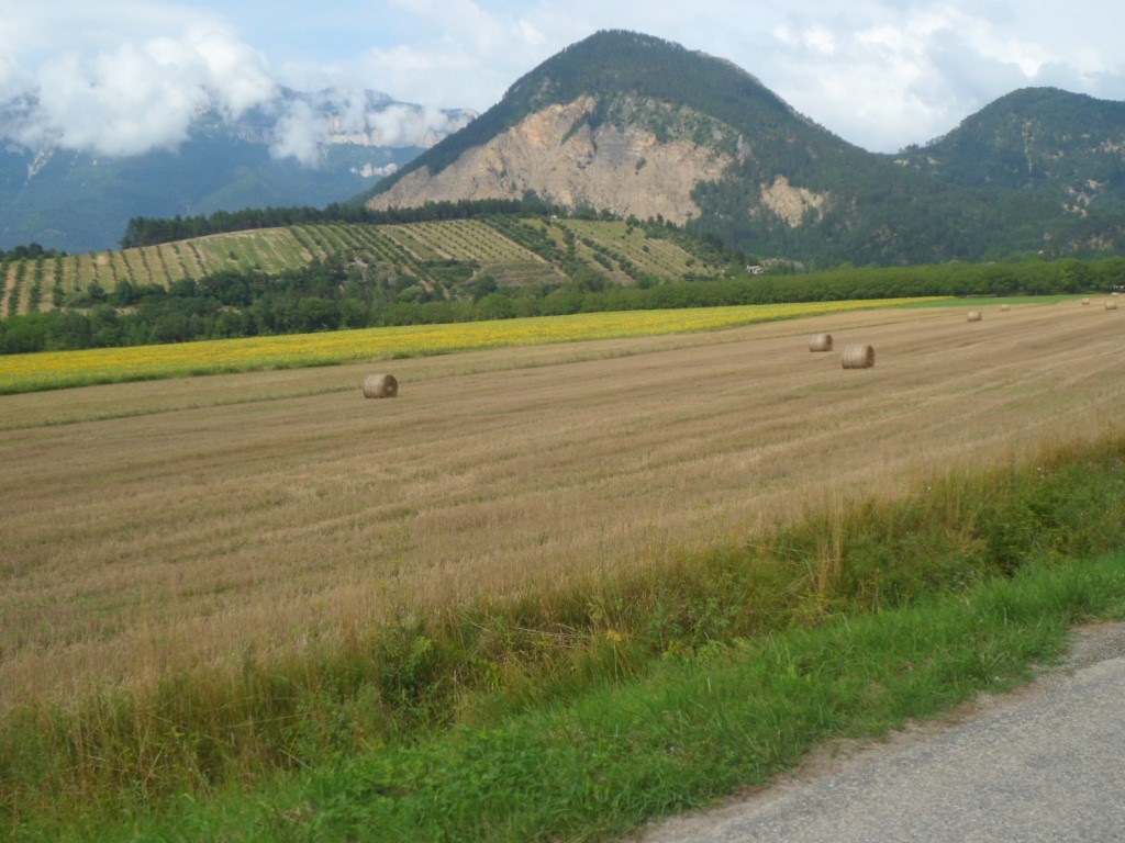
Because of the risk of rain I skip the sidestep over the Col de Romeyer. Closer to the Drôme it at least gets warmer, in fact quite warm with all the clothes I'm wearing, and most annoyingly it still rains from time to time. The short stretch over the D93, which feels like a route nationale, is horrible. Halfway to the exit to Châtillon-en-Diois I venture to continue in t-shirt, The slightly sloping road to Châtillon is also unpleasantly busy, and I decide to leave it for a detour via Menglon to (hopefully) make return the fun. And that works! The sky clears, the colours of the rocky mountains with the grain/corn/sunflower fields in front are lovely.
|
The return . . . .
|
|
. . . . of . . . .
|
|
. . . . the fun!
|
|
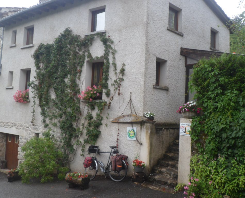
Gîte d'étape du Suels
|
In busy Châtillon
(it appears there's some art festival going on) I ask directions for the gîte at the tourist inform, and this time for once I don't have to travel much further. Which is good, because when I ride up the last steep cobbled street it starts to pour with rain. I have a 5 minutes' shelter at the wrong gîte (rural), three building before 'my' gîte ("de Suels"). I'm welcomed there (three buildings further)
by a friendly lady with some bad news about the weather for the next day(s): tomorrow the service météorologique foresees rain for the whole morning. In the meantime it starts raining harder and harder, which makes me decide to book a second night, if that's possible. That's not immediately clear, a big family will arrive, and she respects people's privacy, but I can share a room with another cyclist. Dinner is lively, with a Swiss dad making a hike with two sons, one daughter, young adults, and an unclear (to me) family with one Frenchman, two women (one with Italian roots) and two children (± 6 yrs, ± 15 yrs), while all the time it is raining real hard.
↓ ↓ ↓
→
Next day
←
|
|