|
11-08-2014 Saint-Sauveur – Sospel 110 km
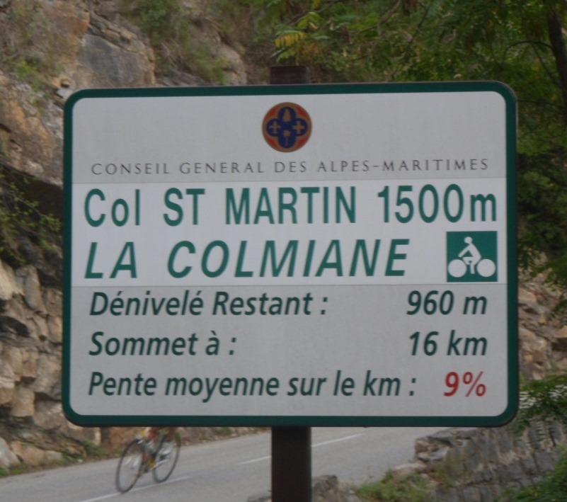
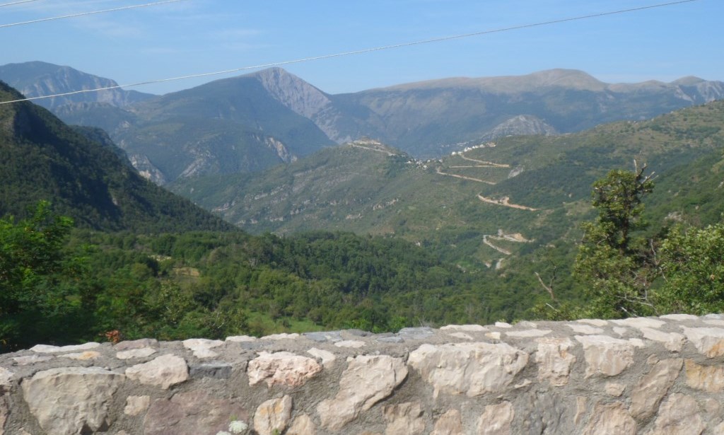
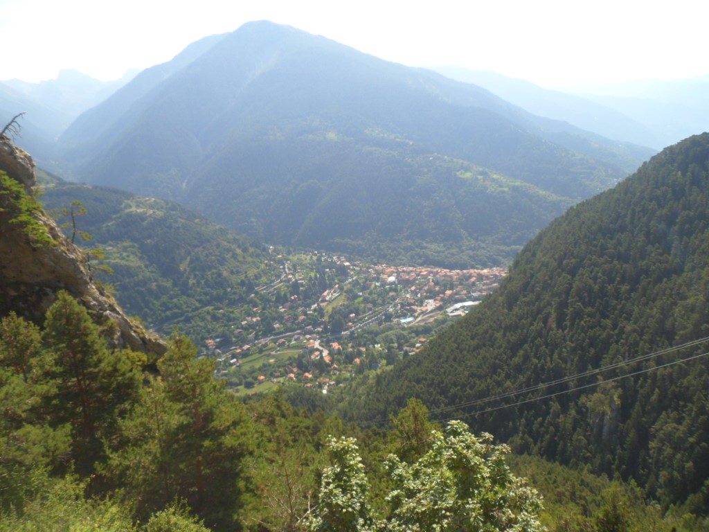
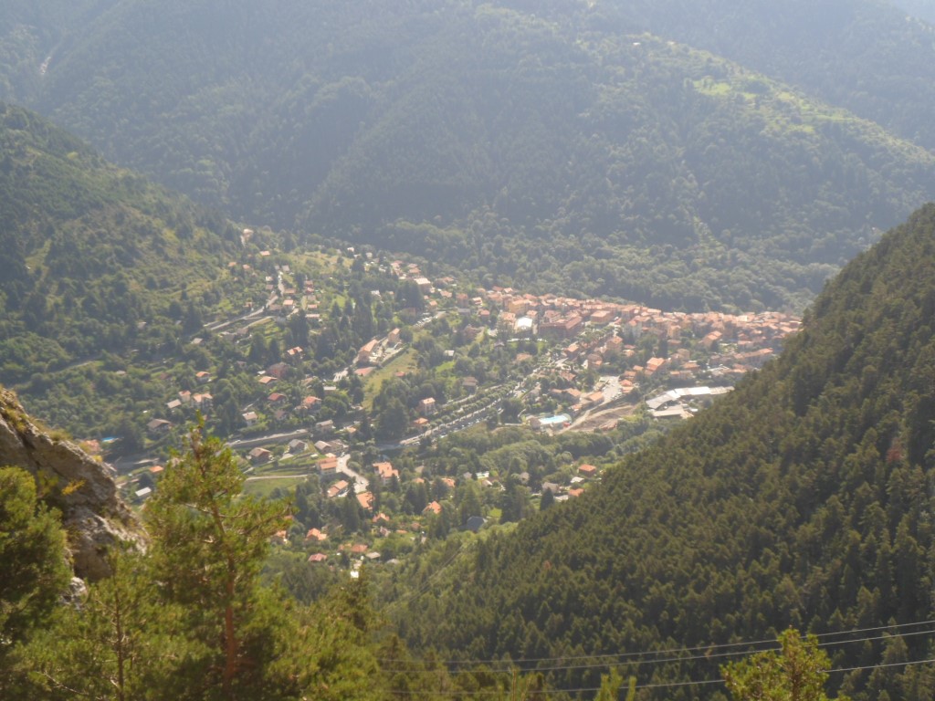
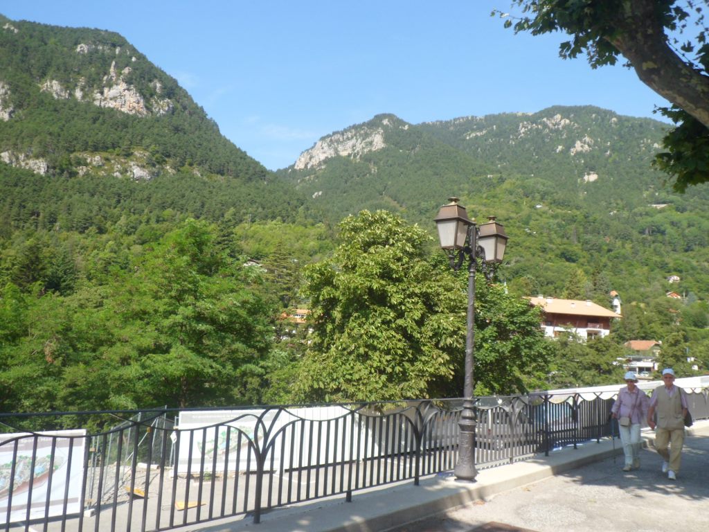
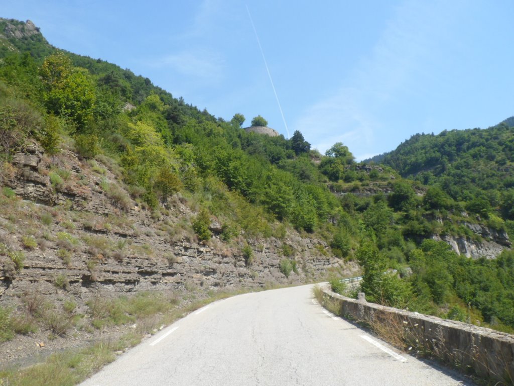
A meagre breakfast since yesterday evening during the short/hurried stop in the local shop (which to my surprise was open on Sunday evening – it is probably as much a shop as a social meeting place) I hadn't thought about that. It appears someone has left some instant coffee (that friendly lady from Nice?), and I have just one small 'unit' of yoghurt and some coconut cookies (not the ones from Nootdorp) left. It's not wise to leave without any food, so I pay a visit to the local bakery, where I meet a group of Australian cyclists buying their favorite pastries (and coffee), their preparation for the Bonette. Beautiful morning through a beautiful part of the Tinée valley. Nice views back to Saint-Sauveur (which quickly disappears) and the road to the Col de la Couillole and Roure. Also I notice another huge screeslope/collapsed mountain – surely all these giants will be washed to the see too, eventually . . . . Then the turn to the left, away from the Tinée, for the first two steep (9%) kms to the Col de Saint-Martin, one of the roads that was so clearly visible from the other side of the valley yesterday.
|
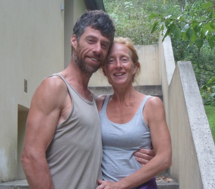
Peer and Angelique
|
|
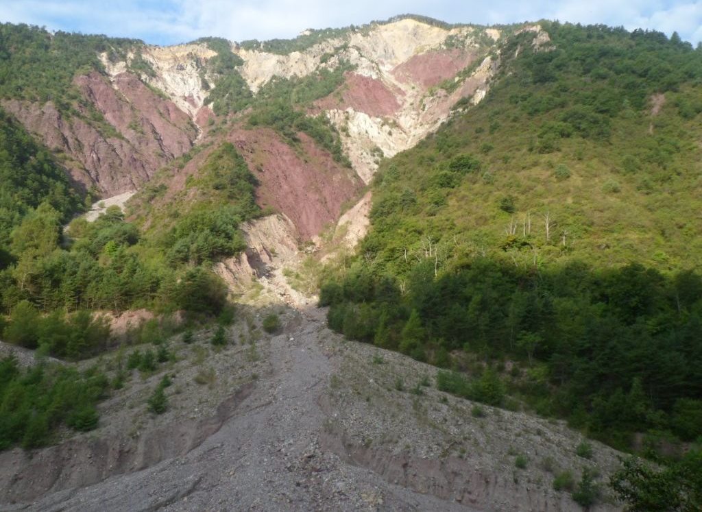
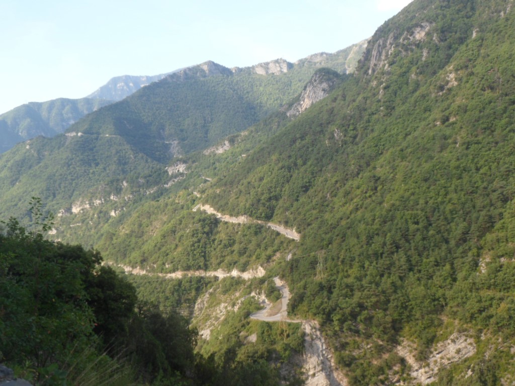
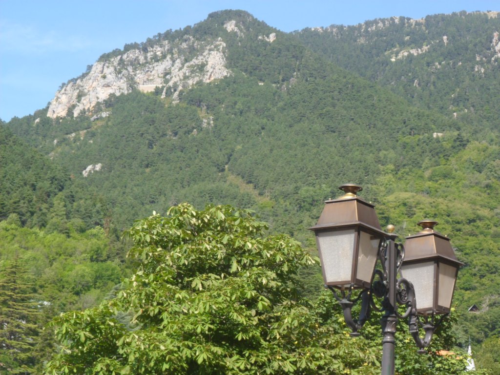
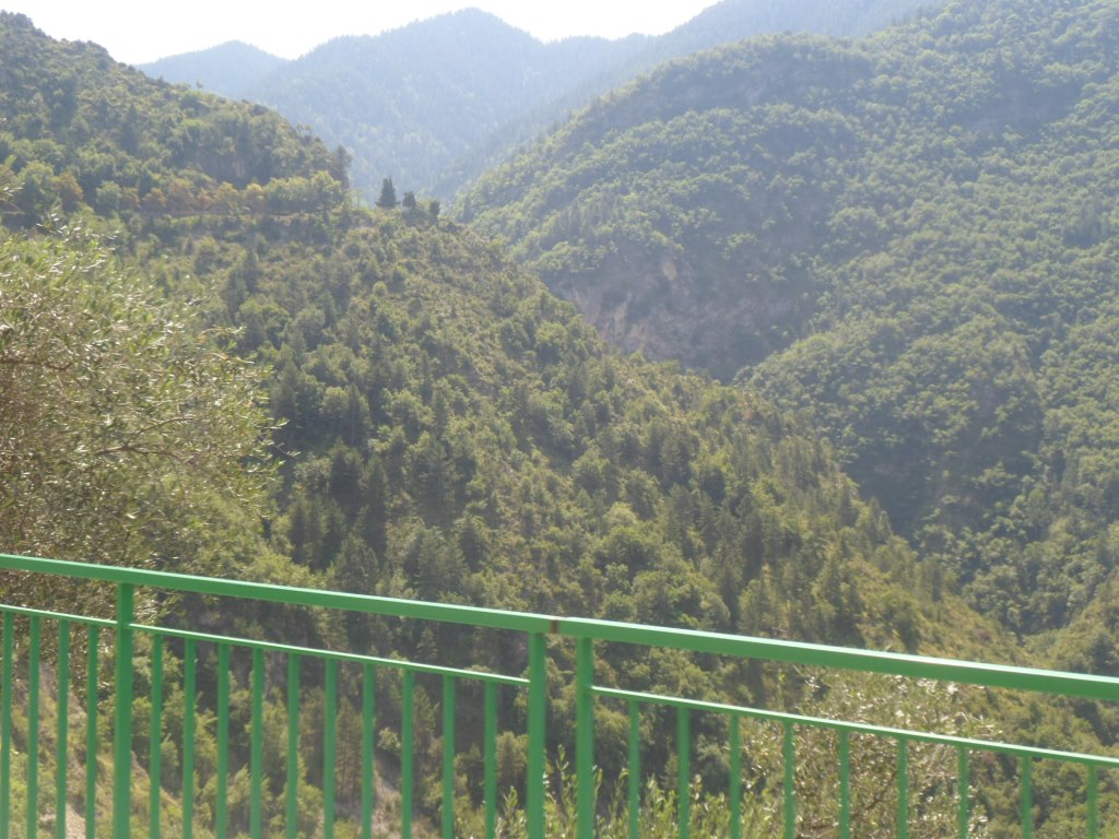
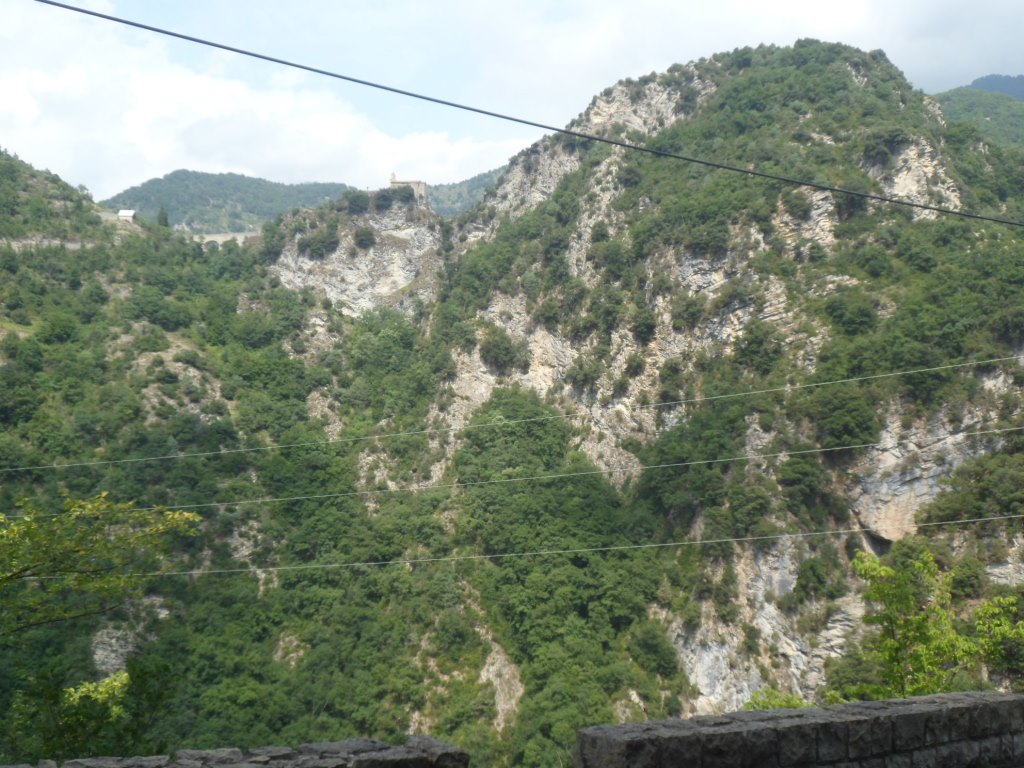
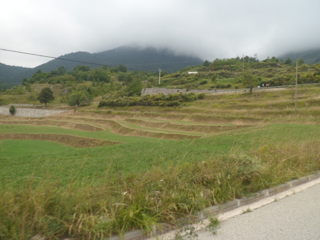
Collapsing mountain side
|
|
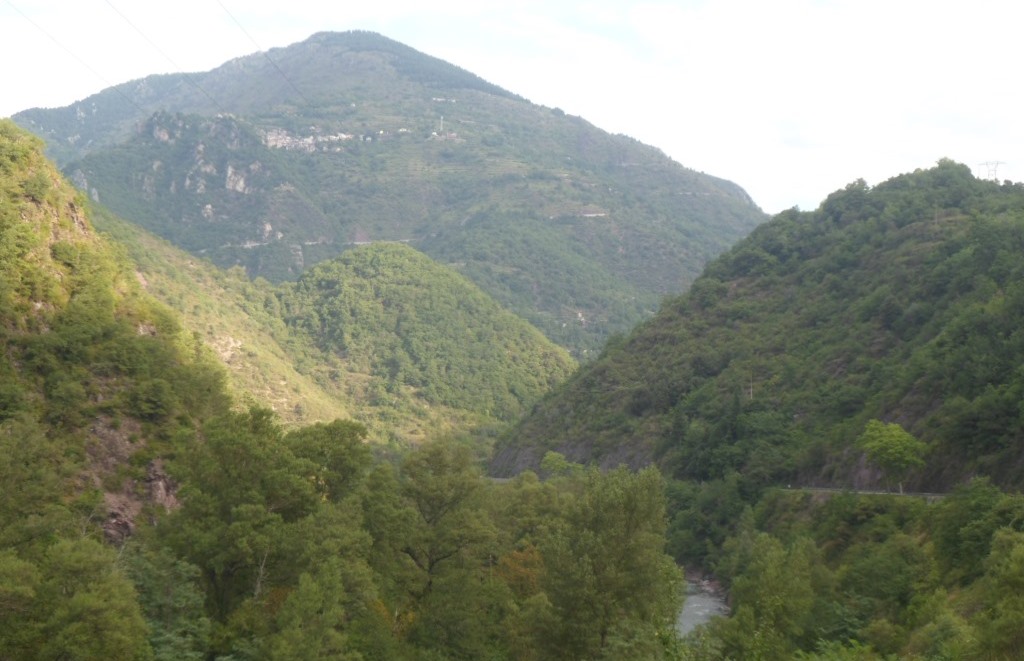
View back to Roure and the road to the Col de la Couillole
|
|
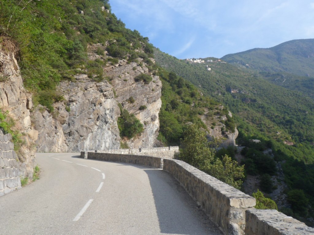
Steep beginning
|
|
Road to Ilonse/Col de la Sinne
|
|
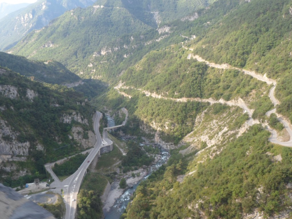
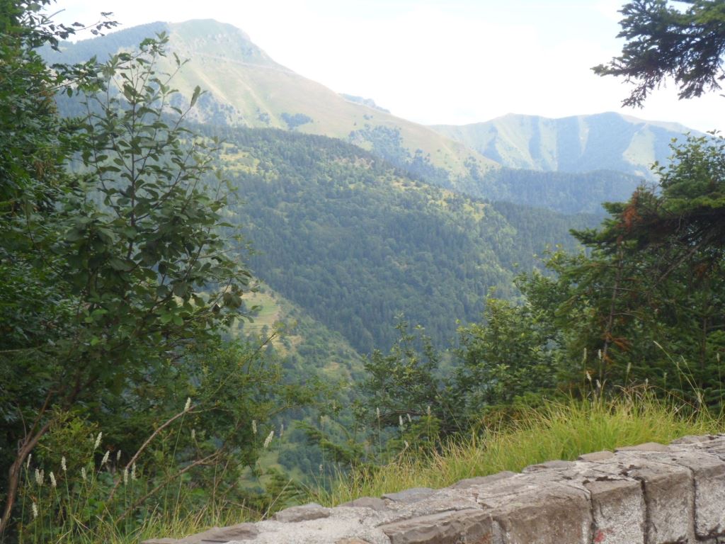
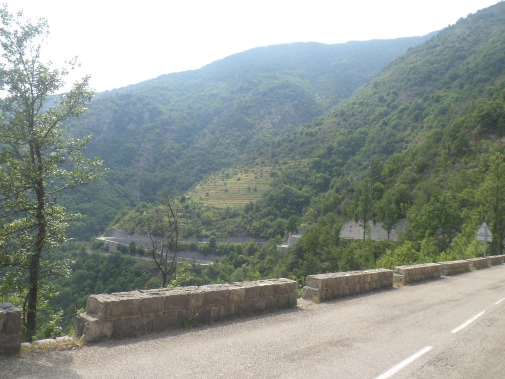
Steep view down to the Tinée. Woww!
|
The 5 km through the Tinée valley and this first part are in the shade of the mountains, but soon I turn into a valley to the east and the sun starts to warm me up. In 2008, without luggage, it was unforgettable gift, a surprise also, since twice before I hadn't noticed its beauty. Today it's less special, and I go at a lower speed. At the end, with a half empty stomach I'm counting down the last kms till the summit; the road info is quite thorough again (the last km but one is the third km of 9%), and this summit comes a little earlier than I expect it. I manage it (= the whole climb) without a break.
|
Nice but not very noteworthy climb . . . .
|
|
. . . . to Col de Saint-Martin
|
|
View back, shortly before the summit
|
|
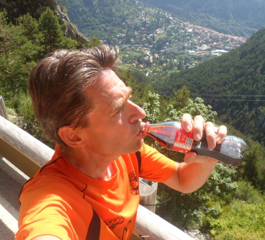
Coca cola with a view
|
|
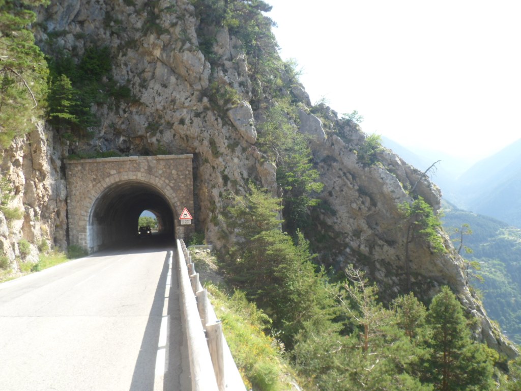
The break takes place . . . .
|
|
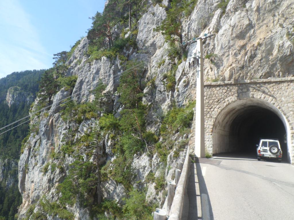
. . . . between two tunnels
|
|
And the views to Saint-Martin . . . .
|
|
. . . . are as fantastic as ever
|
|
Nice (short) descent too
|
|
. . . . .
|
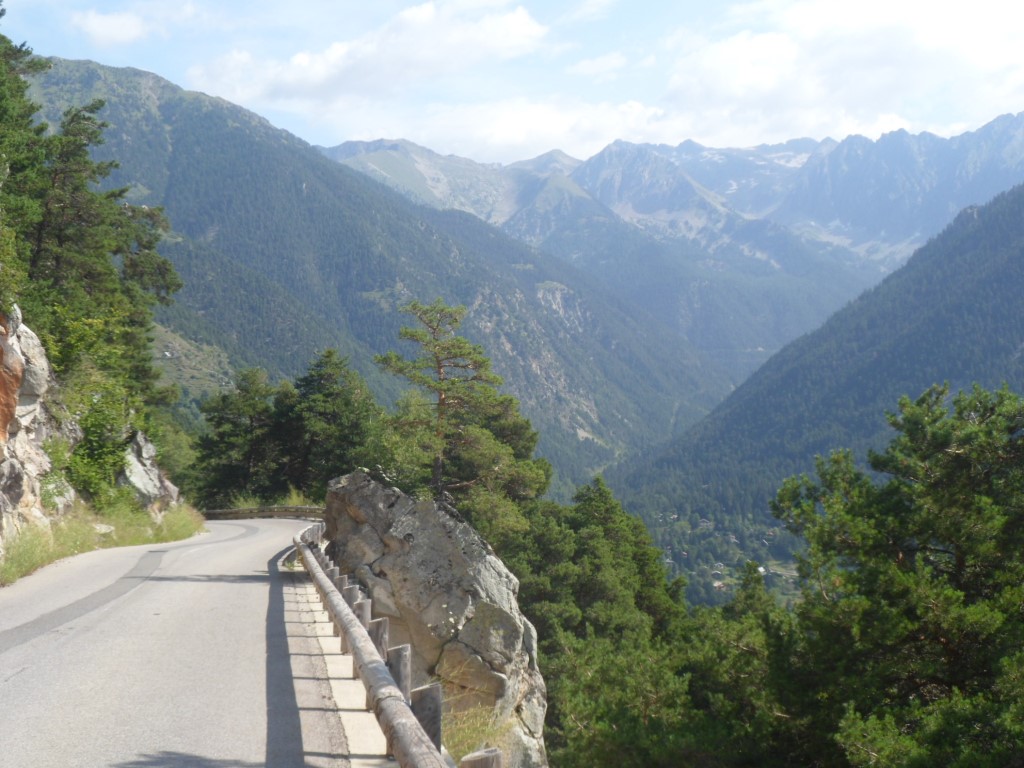
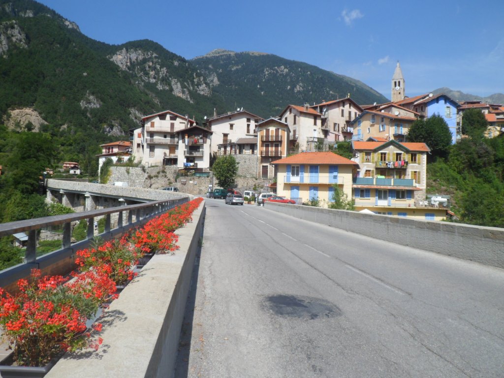
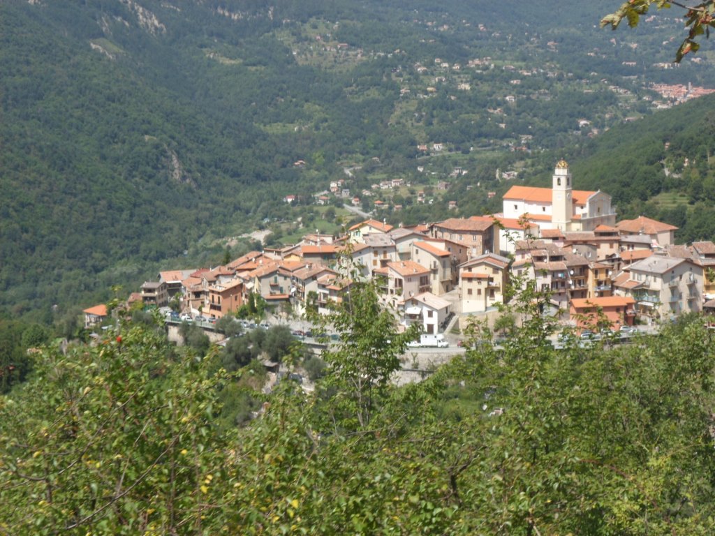
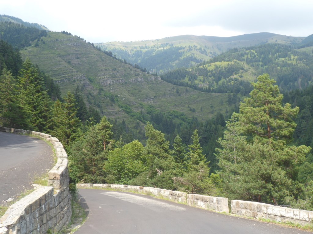
The panorama over Saint-Martin-sur-Vésubie is as spectacular as ever. All is well today! For a moment I consider including the road to Le Boréon, and see what the road to the (unpaved?) Col de Salèse is like, but quickly decide I shouldn't overdo it; the Col de Turini is already quite something too. Coffee break in Saint-Martin, after an unsuccessful visit of the local bookshop. The barman in the first café has a bad day (or is the 'welcome' I receive there normal in this part of the country?), so I choose a better place to have my coffee (and my left-over pastry from Saint-Sauveur). From there the descent downstream along the Vésubie continues, I vaguely remember how I suffered here in 1994, after the unexpectedly trying (and warm) Col d'Andrion.
Six years ago I attacked this same pass from this (unpaved) side, today I try to see where the pass is located, in which I do not succeed, and after the junction to Roquebillière – in my original plans my last sleeping place – the mountain village Bollène-sur-Vésubie comes into view.
|
View backup . . . .
|
|
. . . . to Col de Saint-Martin
|
|
Two sunny bridges . . . .
|
|
. . . . over the Vésubie
|
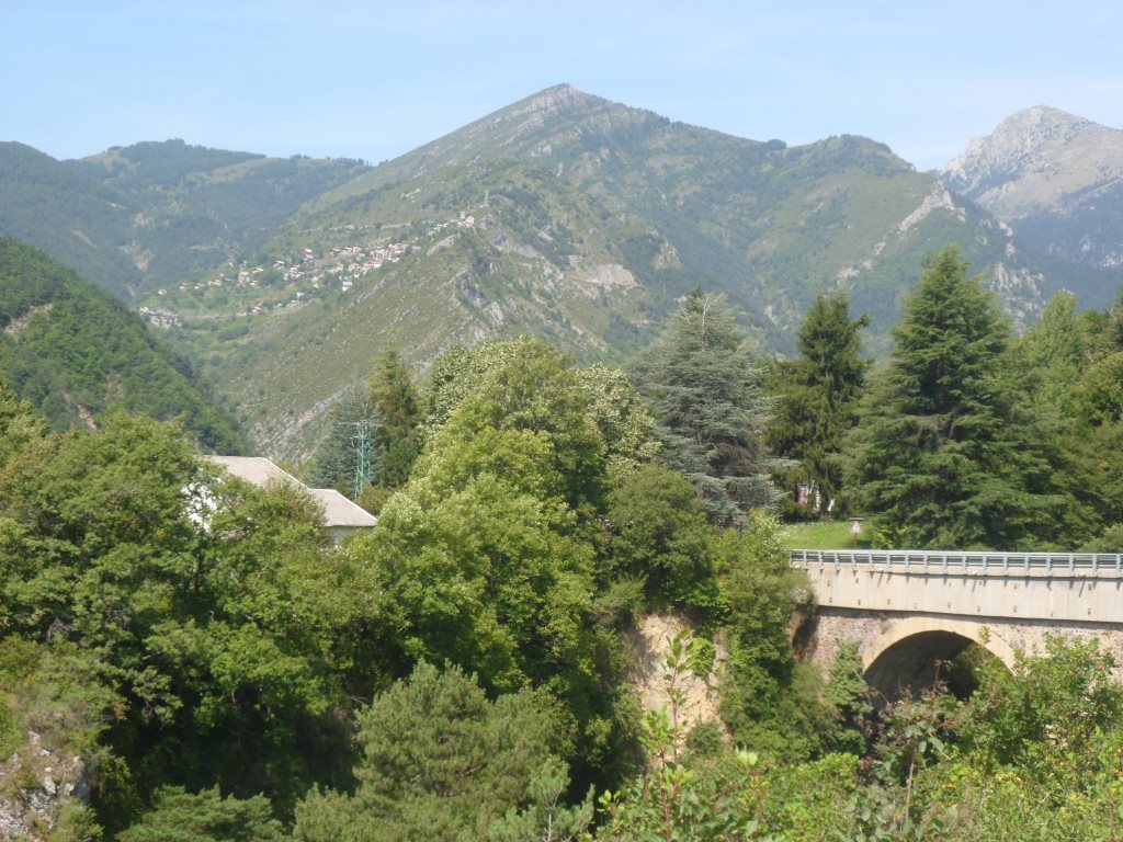
The three km up to Bollène are reasonably steep, over a winding road with a lot of shade. That helps on this warmest day so far – I've been waiting for that! The road first circles around the center of Bollène, and I can see part of the sequel lying there, nicely curled around a mountain, waiting for me. I worry a bit too, as it is quite a climb, from Bollène it's 920 m up in 12 km,
and it's quite warm. I have a short break first, to gather some courage, have a drink, and get going for my last col de 1ère catégorie (ranked about as high/hard as the Col d'Izoard).
|
View up from Bollène-sur-Vésubie
|
|
Past Bollène-sur-Vésubie
|
|
Promising start . . . .
|
|
. . . . through beautiful environment
|
|
Those lacets seen from below
|
|
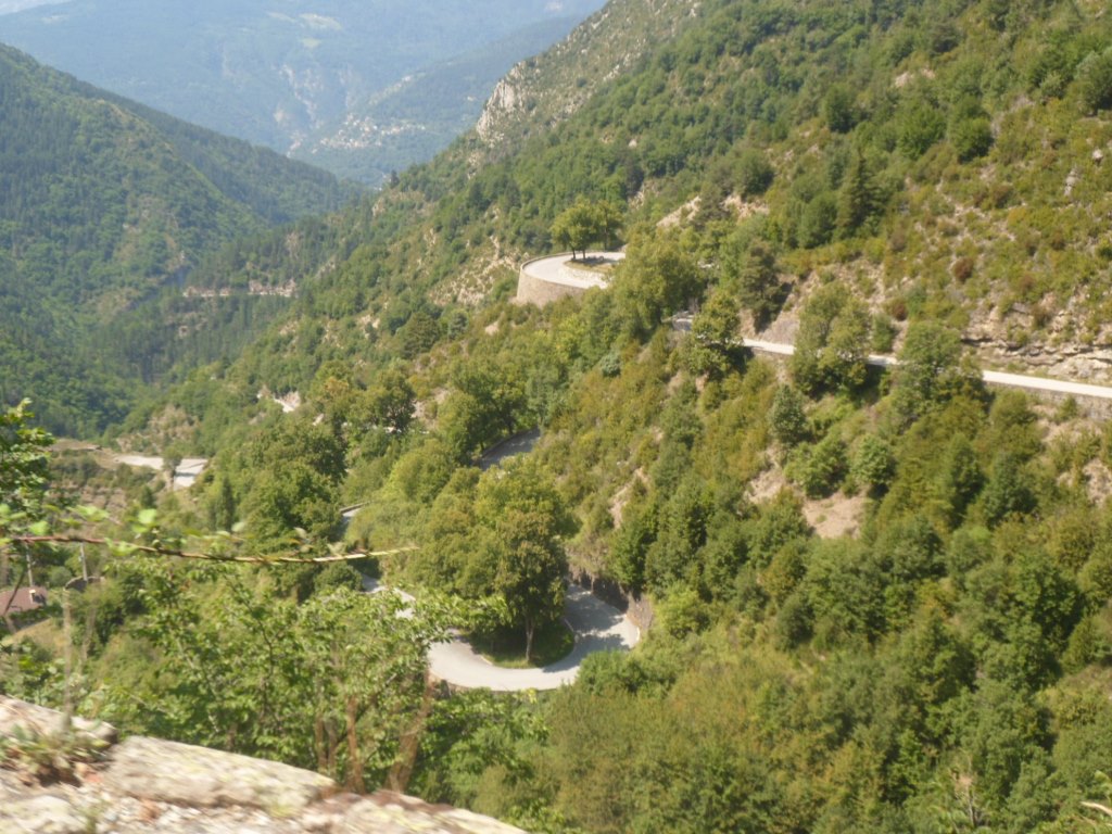
Slightly disappointing picture of the well-known lacets
|
|
From there it is mostly trees
|
|
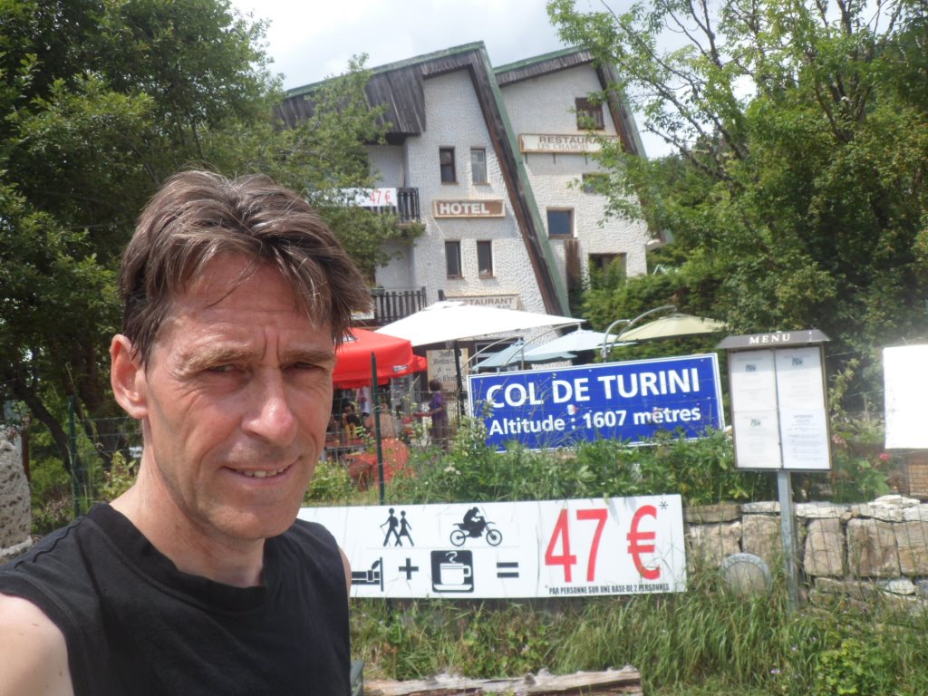
I did it!
|
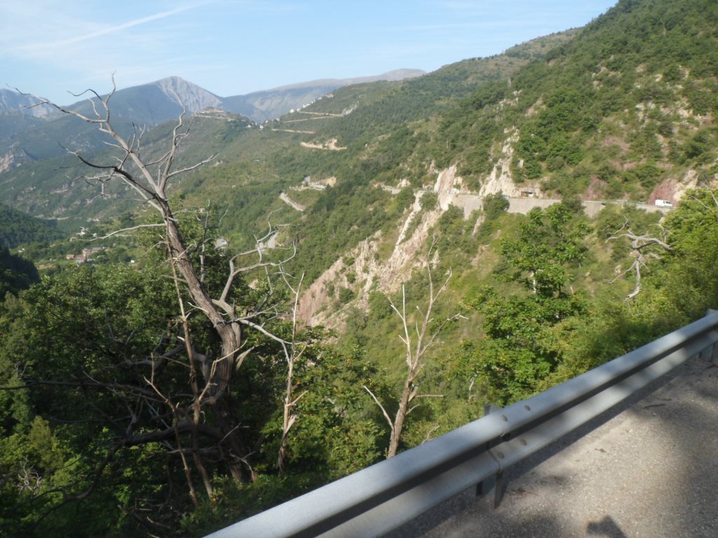
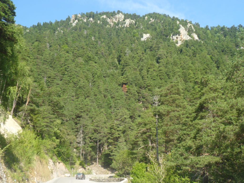
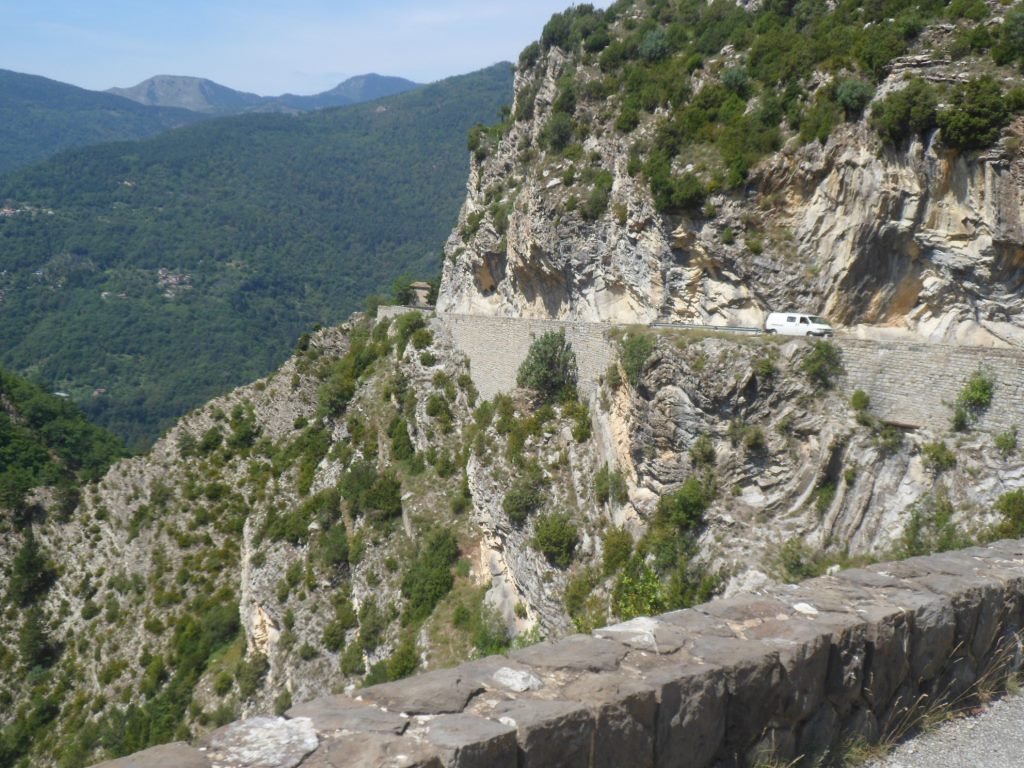
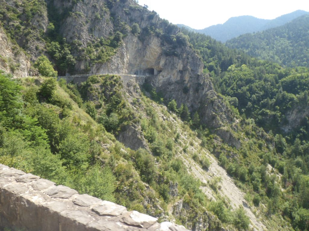
Somewhere along the way, I think it was in a gîte, a cyclist told me that one section of the road to the Col de Turini, with four rounded bends on top of each other, often figures on the front page of cycling magazines. It does also figure on the wall in my restroom at home. The beginning of the climb is nice, with views back onto Bollène and views up into the mountains. Most of the time the speed fluctuates around 9 km/h, there is no information along the road, and I'm not sure at what mileage I left Bollène. Then comes the part with the 'famous' bends, for which I do not find the spot for the ideal picture (and I don't want to get off my bike), and then to my surprise I ride into the woods, which is a bit disappointing. Indeed without a stop I reach the top, where four roads come together, and there is ample catering activity, so a lot of people up there as well. I have a chat with two Italians, and get some information about the Col du Brouis: facile. Time for a beer to celebrate this historic event. The barman tells me the climb I just finished is classified hors catégorie.
The descent is slightly disappointing too – well, I suppose I just expected too much. I'm in the woods most of the time.
|
Descent through the forest
|
|
Trees, trees, trees
|
|
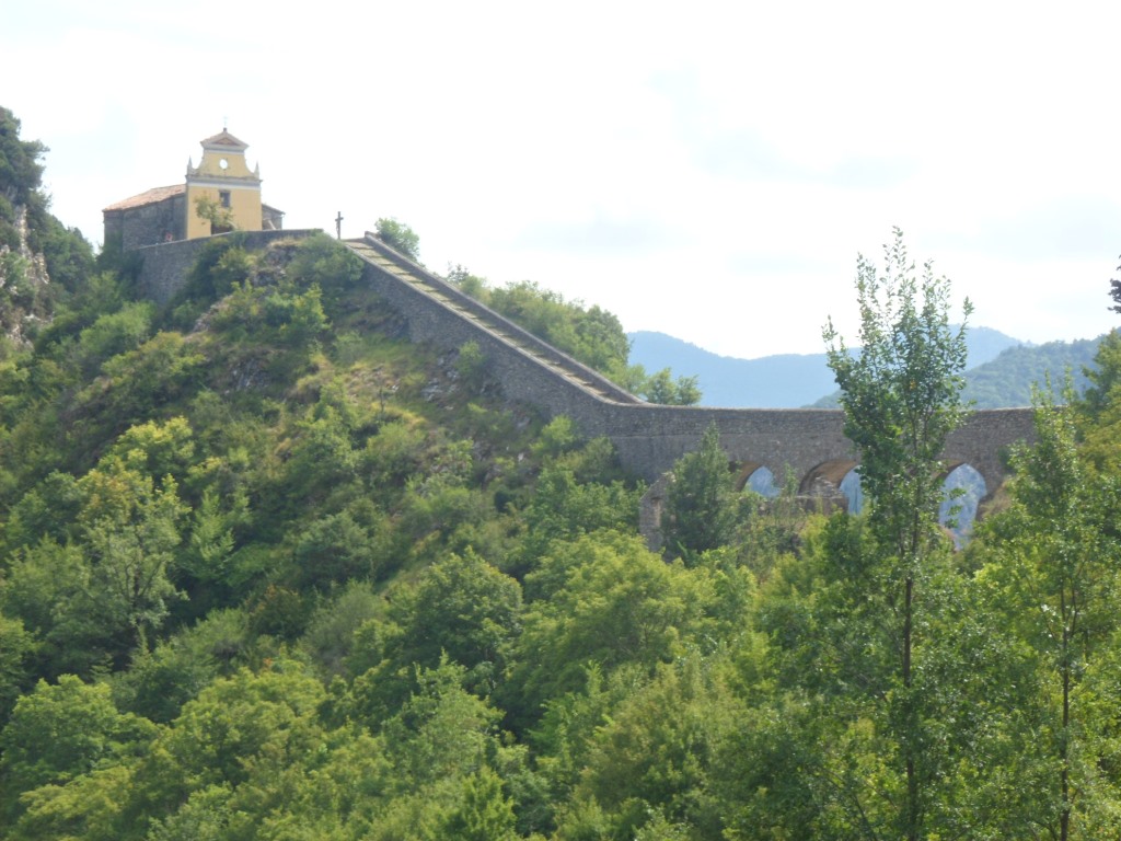
Notre-Dame de la Menour
|
|
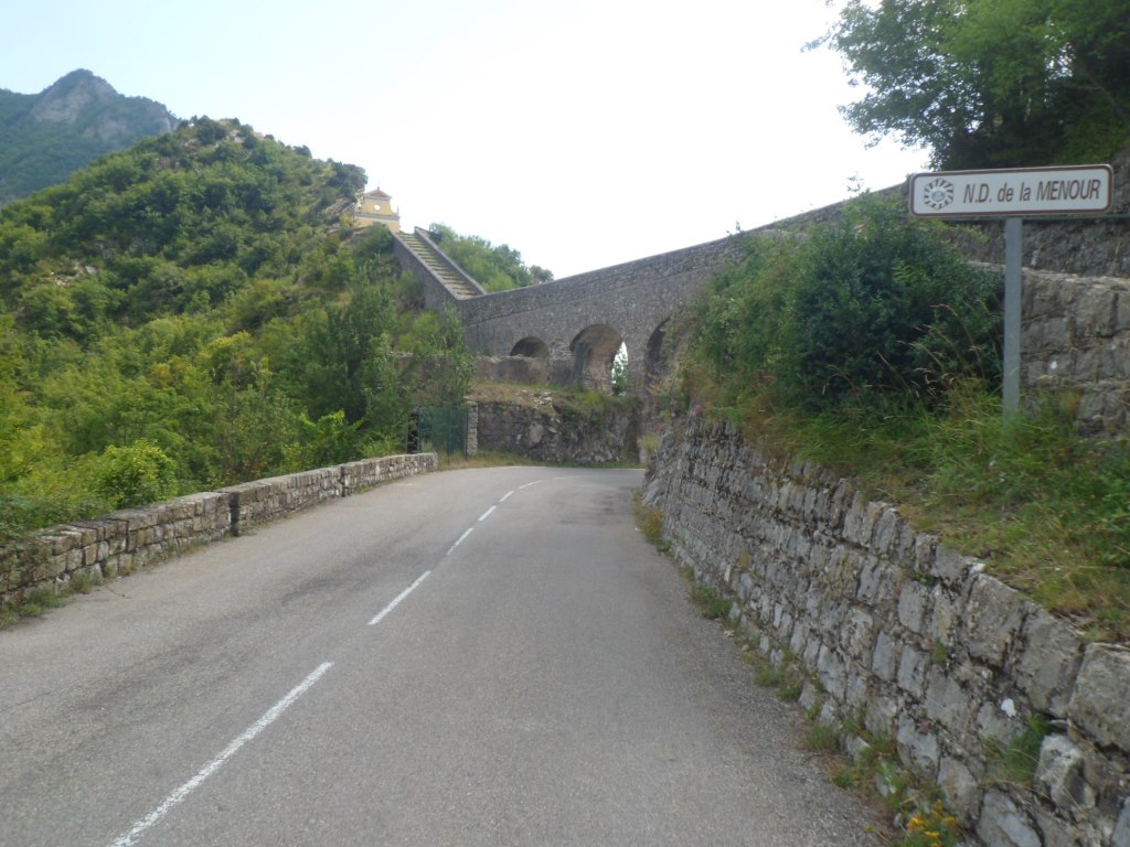
Notre-Dame de la Menour
|
|
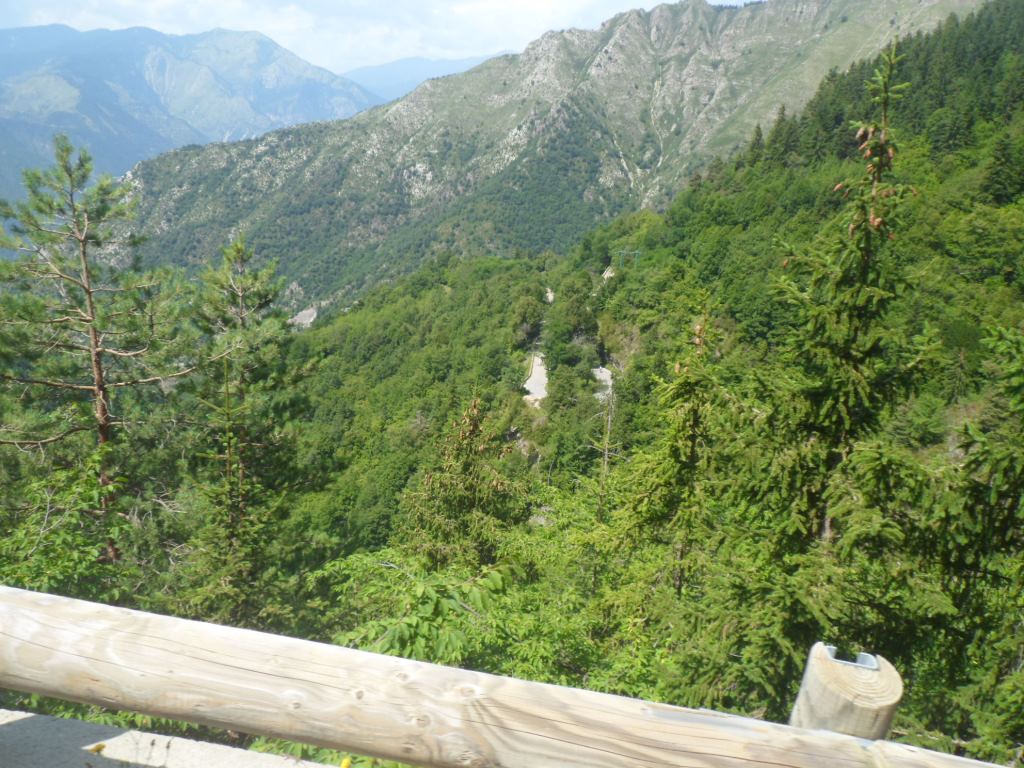
And then the views around . . . .
|
|
. . . . get better
|
Only after N.D. de la Menour the valley of the Bévéra gets me really enthusiastic. It is long descent, almost without an end. In Sospel, 1300 m lower then the pass, it is really warm. With the help from a beautiful girl at the tourist office I find hotel "des Étrangers", which has one or more dormitories comme gîte, and check in before 4 o'clock – the woman at the reception is surprised: vous aviez dit entre 5 et 7!? I visit the local Spar supermarket, and refuel in the village park. Time enough to add the Col de Brouis!
|
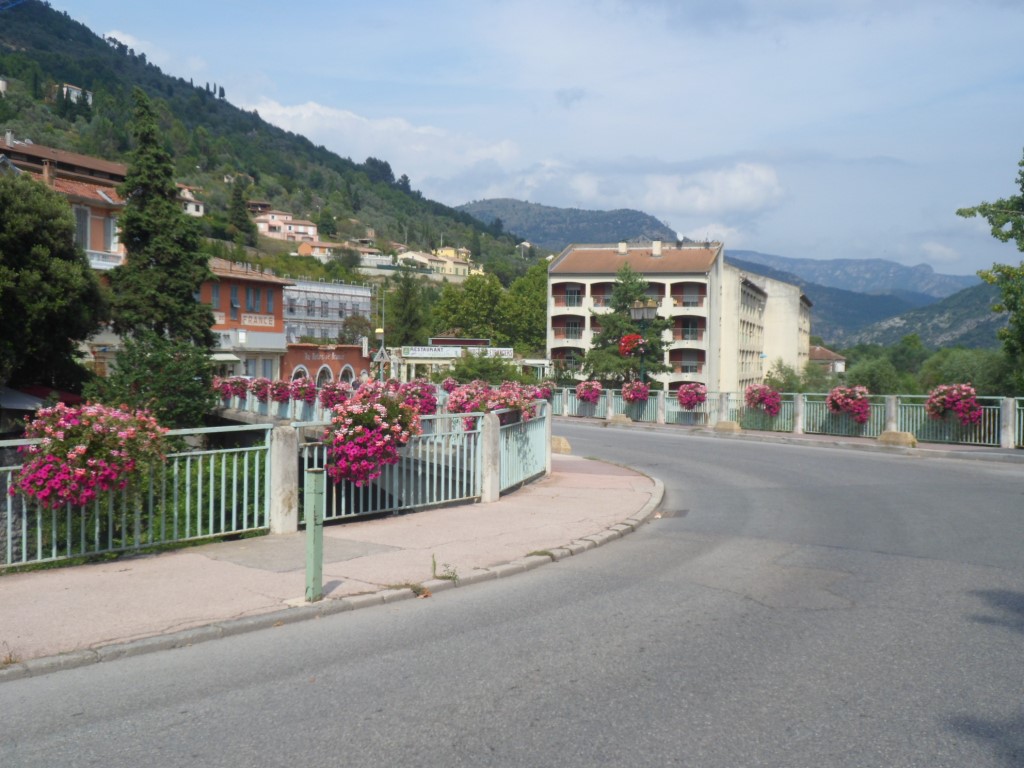
Sospel
|
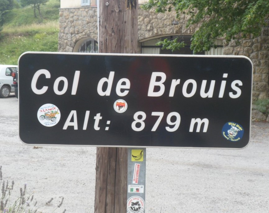
I climb this one with really light luggage – only the pannier on the handle bar, and wearing sandals – and after three km fear I'm going to regret having left my rain coat in the hotel. I decide to risk it (let's see what happens ;-), and with an unusually high speed – the condition is absolutely top again! – pass the two Italians 'from the Turini'. The climb, 500 m up in 10 km, in Estaing I looked up to an elevation gain like that with some fear, today it does not offer any difficulty, and the descent is quick and easy.
|
Some energy left . . . .
|
|
. . . . for the Col de Brouis
|
|
|
|
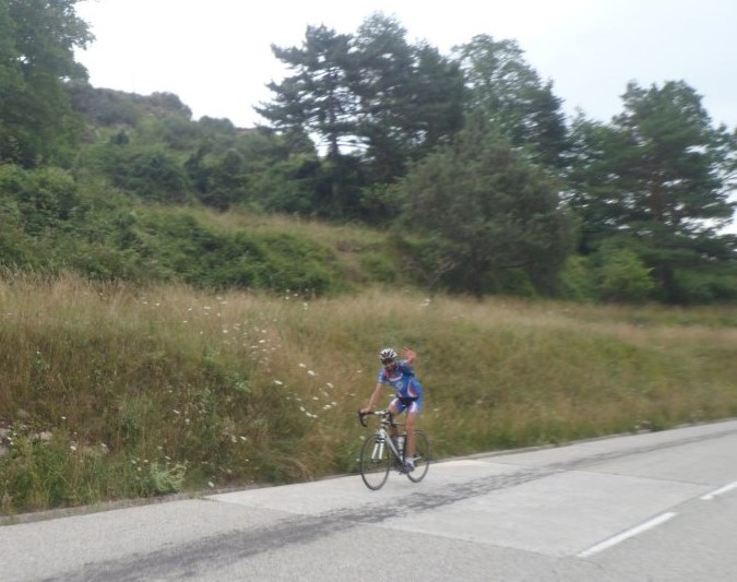
One of the Italians
|
|
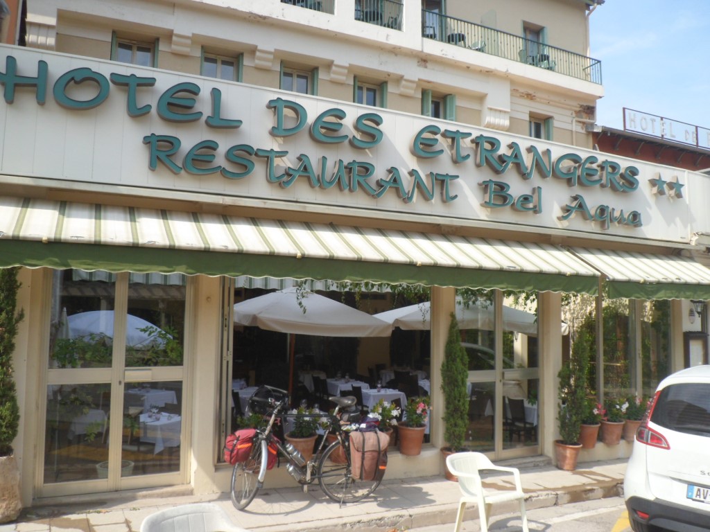
Last hotel
|
I'm the first to have dinner, a lovely dinner, very 'young' courgettes, with their yellow flowers wrapped around some white fish fillets, and the waiter promises me more fried rice with vegetables if I happen to have a large appetite. Again there has been talk of roommates, but no one shows up. In the evening I stroll around Sospel feeling lonely. The terraces are full with dining people, I don't find a bar where I think I might feel okay and meet people. I discover a Mexican-like church, and stroll back to the hotel, have a beer in the lobby, by myself, and go to bed.
|
|


