Tour of North-West Spain,   13/07/2013 - 05/08/2013

Part 3:   Arbejal   →  Villamanín


  22-07-2013     Arbejal – Arbejal     153 km


Nice morning ride (again)   . . . .


. . . .   again

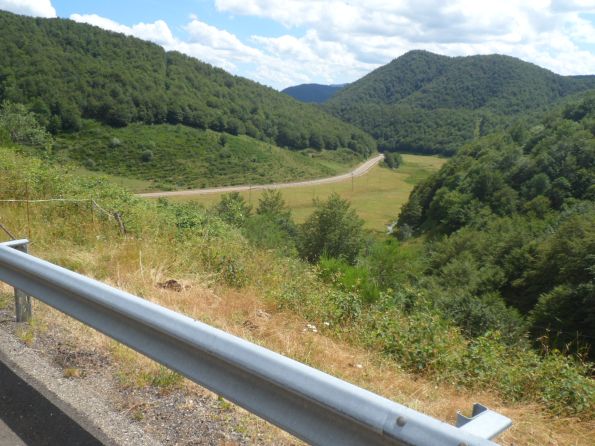
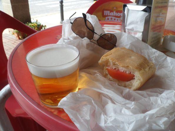
One of the longest day distances, and quite a lot of climbing too. I leave quite early, around 7:50 a.m, and first retrace the last 10 km of yesterday. It's rather fresh - no T-shirt weather still. In Rueda de Pisuerga I turn left/north onto the beautiful and quiet PP-2125 (Palencia is the province I'm in now). It feels like I go up quite a bit, I can soon take off my tracksuit, and at the end descend for quite a while down to Barruelo de Santullán (but Google maps shows the elevation gain on this beautiful part was at most 250 m). In Barruela I buy some food and drinks (usually coca cola and/or a packet of manzana y uva, manzana y melocotón or piña). I have a good time on a sunny terrace with two rounds of café con bocadillo. After this long break I make a long stretch without pauses. First a regular climb to Brañosera, over a road with many hikers, and with indeed a special hikers' (red asphalted) path - which I think I may make use of as well given my slow speed.


PP-2204 with hikers' track   . . . .


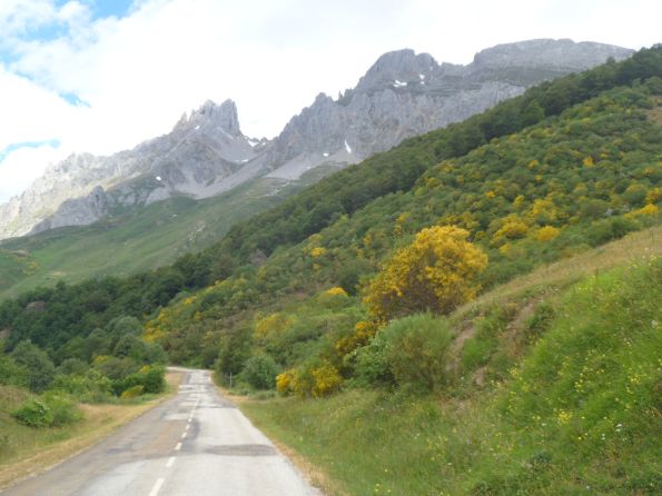
Colourful mountains . . . .  


. . . .   all day


The long ride up; horses,


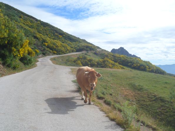
. . . .   cows and a lot of dung on the road


View up


View back to Alto Campoo   . . . .


During the last streches up


. . . .   it gets a bit steeper


Finally   . . . .   Pico de Tres Mares

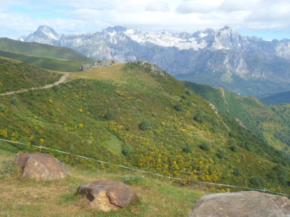
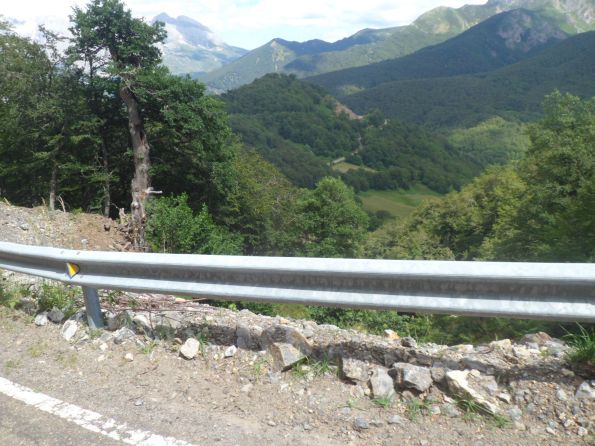
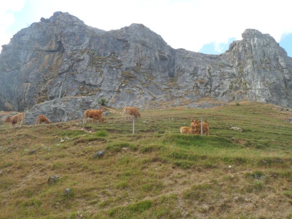
On the map I can see I have to cross the Sierra de Hijar - quite close under the 1926 m high Peña Majaducas, and I deduce/expect the highest point will be on the border between Palencia and Cantabria. However, the road starts descending and redescending much earlier - something to keep in mind for the return. There are high mountains all around, colorful mountains, yellow (broom), purple (heath), brown/red (rock) and green of course. From the Cantabria sign it's mostly downhill to Espanilla - I miss the shortcut via Nevada - when I start the Climb of the day: from an altitude of about 950 m it will be up ± 1100 m in 21 km. The first 6 km have a grade of at most 3%, so with a favorable wind from the east I manage a good speed. Around La Lomba the climb really starts. A few windy hairpin bends, and then a long stretch with first the mountain slope to my left and a lot of yellowness around and cows and cow dung (I keep this in mind for the descent later). I pass the silla called El Henar (1470 m) and enter a rockier environment, still quite open, and from then have the mountain range to my right. In the far distance I think I can already see the last part of my expedition, above the tree line. It's a sort of cirque unto which the road mounts. First I have to pass the (ugly winter sports) village Alto Campoo - where to my surprise there's even a youth hostel. The last six kilometers are the steepest - not terribly steep, but I have been in the saddle for quite a while since my second breakfast. Also now there are sections where a fierce wind blows in my face. The view down to Alto Campoo and further down is great. Till high up there's a lot of cow dung - I'm certainly not above the cow line ;-) The roads ends a few hundred meters short of the real Pico, but I guess I must be above 2100 m - compared to 2012 this is really a 'low' tour! The views to the other side are spectacular, both (deep) down and horizontally unto the Picos de Europa!!


Spectacular views +


(my first)   Panorama to the Picos de Europa


High guy


Colourful ride back

Like before I have difficulty to push bread with cheese through my throat - and because of the wind it also keeps falling to the ground: it feels like being on the Mont Ventoux! The first - steep - part down is quite tricky too with this fierce viento (and the steep slope bordering on the small road), later on it's more relaxed, as the slope gets more gentle and the road is rather straight. From this side it's easier to find the small road through Nevada, where contrary to what the name suggests, it's really hot, where I get lost, have my water bottle refilled, and learn that the road to the south is unpaved, which partly explains why I missed it in the morning. Well, that's okay, and what's better, there's some shade by trees as well. Back on the CA-280 it's hard work, both against the wind and against the slope, and the effort continues after the CA-280 has turned into the PP-2204. I'm already close to Brañosera, with a great view over the valley to the south, when I finally can stop pushing and start freewheeling. As tomorrow will be another day into 'no men's land' I decide to make a small detour and follow the PP-2204 until Aguila de Campoo where I suppose there should be an oficina de turismo. It feels a bit as if I'm in a time trial, just trying to keep up the speed to 25 km/h or so; the road is very slowly going down. With the wind against me I don't feel the heat, but the sun is burning from the right, so I take a stop for an extra half-sided (namely right-sided) layer of sun oil. First I have two cokes (to flush through some more bread-and-cheese) on a terrace close to the tourist information, which should open at 4 p.m. However, not on Mondays :-(   The 26 km to Cervara are rather uneventful. After yesterday's disappointing dinner experiences I do shoppings there for a big salad 'at home'. Alas, I'm still the only guest at the youth hostel. The swimming pool is not forbidden territory today, and I enjoy a nice swim in my own pool. Dinner is okay too, I have quite a long talk over the telephone with my eldest daughter. The last half an hour of the day I look for some addresses of youth hostels from an old guide I borrowed from the reception. There aren't so many though. And then I creep into my old sheet sleeping bag.


  23-07-2013     Arbejal – Besande     133 km

Gorgeous day!! When I'm ready to roll I put the key of the front door in the letter box. The Welsh Spaniard from Medina de Pomar had warned me that the climb I am going to do from Cervera de Pisuerga is quite hard. Indeed, the first 2 km from Cervera go up quickly - tracksuit off - but they are followed by a descent - tracksuit on - which seems to take me back to the altitude from where I started. This brings me to the first of the several lakes I'll come across today, i.e. the Embalse de Cervera-Ruesga. Then the road rises again, for quite a while, the last 5 to 7 km some work has to be done indeed, but I can do most of it using my middle (front) chain wheel; it's never steep. I'm really in the mountains of León; the landscape is breathtaking, the road very quiet. Wonderful!


One sunny morning


Long shadows   . . . .


Flowers and mountains  


. . . .   and trees


Road up to  . . . .


. . . .   Alto de la Varga

After a short descent, and a short coffee break in Triollo (alas no bocadillos) a long even (easy) section along several embalses, one of them the almost unwrinkled Embalse de Camporredondo. After the third dam of the day, at the west side of the Embalse de Compueria the second part of the descent to Velilla del Río Carrión is awaiting me. Velilla turns out to be quite an industrial town with what seems like a nuclear plant within its borders - and also an oficina de turismo. An open office this time! I hope to find a place to stay some 10 to 30 km further, to add an interesting circuit in the afternoon, and have a good starting point for a first étape into the Picos tomorrow. I half succeed: the ladies know of an hostal at the end of the village Besande, but their effort to make a reservation is fruitless. Pity. However, it's only 11:30 a.m. yet, and the worst case scenario is that I have to ride 14 or 21 km further (and 'miss' one puerto).


Mountains of León


Time for a break?


Embalse de Compuerto


Same (unwrinkled) lake


And again


No embalse without a presa


Arid area


(Re)entering León


More arid area


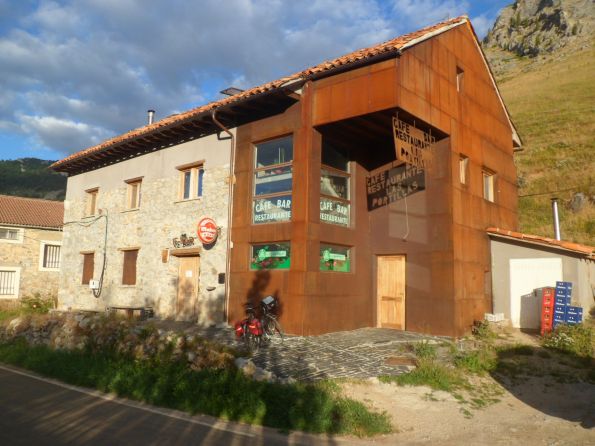
My place for 2night(s)


The road to Besande goes slowly up through a rough, dry, glorious landscape. I even pass a pass (Puerto de las Portillas) after which follows hardly any descent to the village with the hoped for accommodation. Besande is very small, too small for shops, and at the end there is indeed a bar, but is it open? Can I rent an habitación for two nights? The answers to both questions is yes! The price: € 35,- p.p.p.n. for a very nice room, and the people are friendly, and I can have a meal as well (where else? - certainly not anywhere near). The lady of the house mentions the nice view from my room, with the mountain Espigüete as a special treat. So this is certainly one of my happier days, and the second part of the day trip turns out incredibly nice too. A T-shirt I Spain would certainly be appropriate to wear! From Besande I turn onto the small road over the Puerto Monteviejo on which I see less than five cars during 25 km. The descent from this 1433 m high puerto is quite a bit longer than I expected (though Google Maps indicates I go down less than 300 m). Maybe it feels longer because it's a very tiny road.


Around Alto Monteviejo


Descent from this Alto


Deeper down


And up again


View from afar to Embalse de Riaño


Strange (and crumbling?)


Strange rock formation


Just a perfect afternoon
I have enough time for the 'long' circuit, so at about the lowest point I turn left to go up again to the Puerto El Pando (1432 m). With the nice weather, the quietness, the green environment it's heavenly to see and feel the mountains. At a certain point there's a small vista through the trees to the lakes around Riaño; I think I can even discern one on the long bridges. Woww! During the descent I have a short encounter with a Spanish guy who is pushing his loaded (mountain) bike up from the other side (which doesn't seem so hard to me), and who wants to have a look at my map to look for the route to Santander (which is quite a way off!). A little further I have a long break on a terrace in the shade in Prioro, with cold coca cola and a gherkin sandwich (with fresh California cream cheese - of course). The man who is managing the bar is also mowing the borders with a scythe. From Prioro the road goes slowly further downhill along the Río Cordijal/Río Cea. I wonder about the porous looking, moss-overgrown rocks: why no green line here, Mr. Michelin? The road ends at a junction with the CL-626, a less spectacular road that will take me back to Guardo, to the P-215 that leads to Besande. Again there is some climbing effort, but my legs are in good shape today and the wind helps too.


Arid afternoon


Second time around in Velila


Second time around at the P. de las P.


View from my room

Shortly before 5 p.m. I reach Velila for the second time today, and decide to wait till a supermercado will open its doors after the afternoon break. The Puerto de las Portillas is again no big deal, and now I notice there's a small embalse just north of it. The lady/owner of the bar makes me a good meal (with a special local dessert) on the time that suits me best, which is at least an hour before some of the card players, obviously regular visitors (who also are a bit interested in me) are in for dinner. Mark for this day: 9.5 (out of 10).


  24-07-2013     Besande – Besande     140 km

I've set my watch at 7:10 a.m. Today not a very long distance - that's the plan at least; moreover, light luggage. At the start it's cold! At 8 a.m. the sun is still quite low. I already fear the mornings 'against' the sun a week from now, when I'll return to the east. After a few km I pass a pass, which is less then 100 m higher than Besande, but of which the descent to the north will mean harder work when I'll return in the afternoon. In Boca de Huérgano it's only 13°C. I have a coffee in a VERY nice hostal: very informal, nice corners with old sofas, a table with papers and magazines, and good coffee (and alas a flatscreen tv). I'm going to make a tour through the southern half of the Picos, over one of the few roads I had planned beforehand (in Nootdorp), with a sidestep to Caín de Valdeón, probably the highest point of the day, but how high Mr. Michelin won't say. It's fun that a month ago I had no idea how it would be to cycle here; now I do, and it's great!


Goodbye Besande


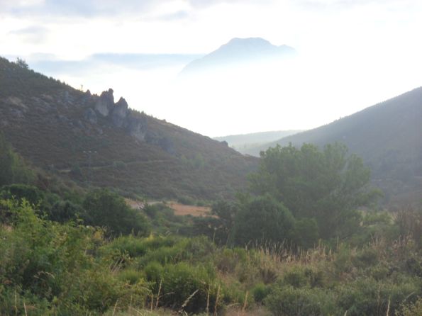
Spooky morning view


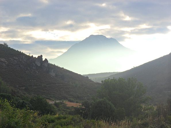
Spooky morning view (II)


Mystic morning view  

I think I have enough time to add the Puerto de San Glorio, over the main road to Potes (which village, I've been told, is very touristic). Luckily the N-621 which I have to follow for 10 km is not such a busy road. It's actually quite nice, through the at times rather narrow valley of the Río Viejo with the same friable rocky slopes as yesterday, likely to crumble over the next millennia. Later on/higer up there's again much yellow mingling with the green. At the pass I can (and do) go left and climb another 2 or so km, over a tiny cow-dunged cul-de-sac to the Mirador Liesba.


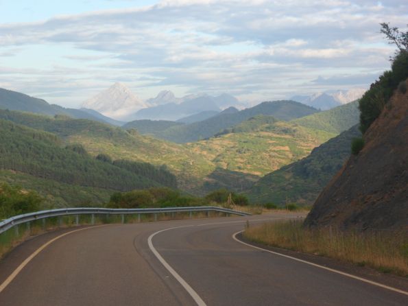
On that road again


Rough valley   . . . .


. . . .   of the   . . . .


. . . .   Río Viejo


Small road to  . . . .


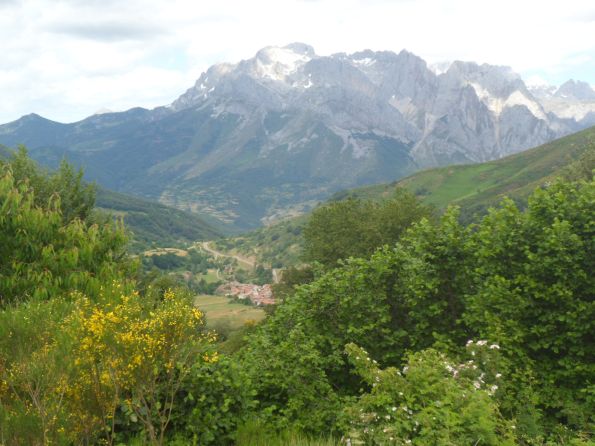
Mirador ( + panorama! ) de Liesba


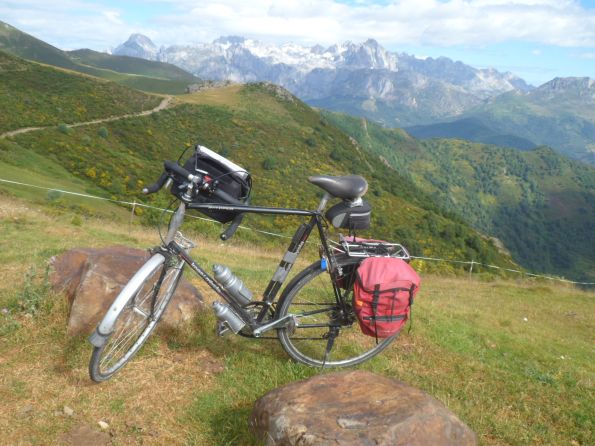
My life-long companion


Llavanes de la Reina

When the road turns close to this endpoint a beautiful panorama of the Picos is reveiled. I retrace my steps and - after having taking pictures around the Puerto San Glorio - descend gradually to Llavanes de Reina, where I noticed a restaurant during the ride up. Indeed I find a sunny terrace where I have a coffee and a bocadillo a las huevos a la francesa, and a chat with two motorcyclists from Groningen with a temporary companion from England. On this wonderful morning I mount my Koga for what I expect (and look forward to) as the climb of the day into the corazón de los Picos. The very quiet LE-2703 through quite an open landscape nicely creeps up to the Puerto Pandetrave. This is even less high than the Puerto San Glorio and just as easy to conquer. From the north the climb seems much harder, and the views are better too. Especially the last five km to Posada de Valdeón go quickly. In Posada I turn right/north onto a road that on my map is marked 'dangerous' to, I suppose, the highest point of the day, i.e. Caín de Valdeón. Am I mistaken there!! The (very tiny) road indeed climbs out of Posada, and on the left I notice an umpteenth storage lake.


Back along the Río Viejo


LE2703 into the Picos


and up to


the Puerto Pandetrave


Descent to


Posada de Valdeón

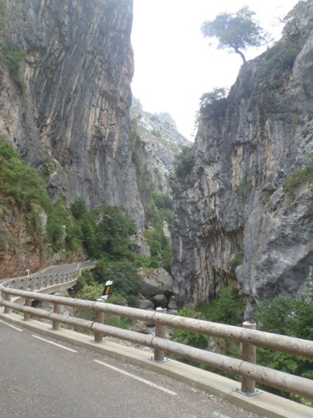
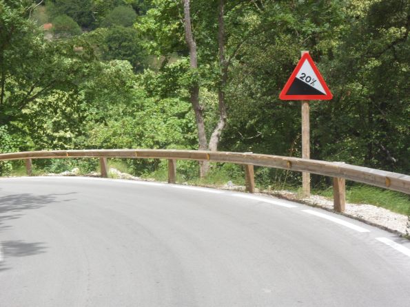
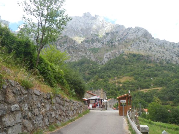
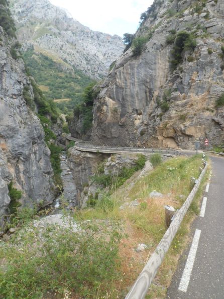
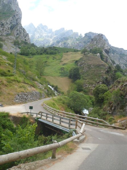
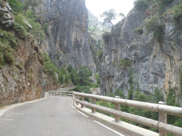
I also notice, to my concern/surprise, that the dam is on the 'wrong' side! The road goes down at first, then up, rather steeply even, then down again. What's happening here?? After Cordiñanes another steep section up, but from then on the road goes down ALL THE TIME, through the gorgeous gorges eroded by the Río Cares. Twice a signs indicates 20% - and how long will this go on - and how steeply?! It certainly is a wonderful road, but it's not what I had foreseen, and I worry about the way back, around midday, a warm day! Finally I reach Caín, the LOWEST point of the day (about 475 m, I learn at home). The village is a small paradise surrounded by beautiful high mountains. It's very well-known by tourists too, so there are restaurants, but I restrict myself to a small supermercado and make myself a sandwich on a wooden bench in the sun. It feels like heaven! How hellish will it be to get back to earth?


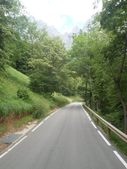
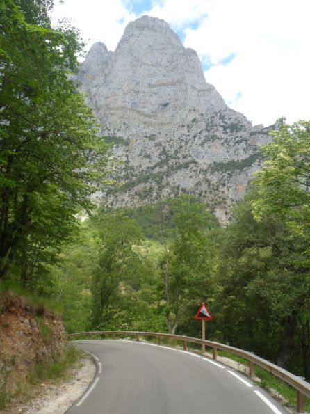
Vertical photos


In steep Cañon


In steep Cañon of the Río Cares


R>


OOPS!!


Caín


Vertical photos


on the way back/


up(!) to Posada de Valdeón


Tremendous environment!


Embalse near Posada de Valdeón

Well, I gain some confidence when I manage the first 20% section cycling. And also the second, and lastly the slope reaches 19% once again. I have to fight, but ... I make it! And from Posada it's another long ride up - I feel the foregoing exercise - to the Puerto Panderruedas, which is almost 1000 m higher than Caín. It's one of the rare occasions I go up 1000 m or more in one climb this year - in 17 days in Spain it happens only three or four times.


During climb to Puerto Panderruedas


The N-625 to Riaño


Rocks and cows along the road


Refreshments
On the 'main' road to Riaño I turn right first, to add the Puerto el Pontón to my list, which adds only 2 kms to my day distance, and then slowly down - against the wind, especially the second almost flat part - to Riaño. The village is surrounded by three embalses and beautiful mountains, but Riaño itself - in my opinion - is UGLY; with many modern apartment buildings it looks mainly sterile. (Later that day I learn that the original village lies at the bottom of one of the lakes - okay, that explains things.) After this quite long stretch since Caín I have a refuelling in the shade - a tomato/California sandwich and a banana sandwich, coca cola and a caña. I have no idea of the time, but a look at my mobile phone tells me it's half past five; well that's fine. Half an hour later I set off for the last 18 km, after having changed T-shirts (my left shoulder is becoming red).


Along the Embalse de Riaño

       
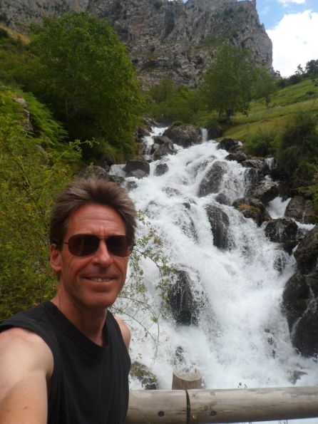
Happy man
The 'small' puerto that's in between is surely felt by my muscles, but I manage to reach it 'on the middle'. The sun still burns, and Besande lies there hermosísimamente. Another day marked 9.5! I enjoy/celebrate it with a beer in front of the bar/hostal, and for a while am joined by two Dutchmen, on their way - by car - from the Picos to another walking area. It's them that tell me about the history of Riaño. They've also been in Caín, and one of them believes the village is situated as low as 250 m above sea level. I manage to reserve a bed in the youth hostel of Villamanín de Tercia - the 'manager' will meet me mañana a las siete en punto. A nice young daughter is serving tonight (with her boyfriend). Later on I have an 'early' dinner, settle all my expenses, and lie down on my soft bed-for-two-nights.


  25-07-2013     Besande – Villamanín de Tercia     135 km

Another GREAT day. Alarm at seven, and one hour later I close the iron door behind me (without having met a living soul). I'm glad I didn't send my second long-sleeved shirt home - the former days I have been on the verge to do this. I choose the slightly higher route to the north, over the Puerto de Monteviejo, which I know from two days earlier. This offers no difficulty - the shirt goes off the shirt goes on - and it's BEAUTIFUL again (it can't be quieter than the first time in the afternoon, since even then there was no traffic). I get back onto the LE-270 some 4 km before Boca de Huérgano, where it's two degrees warmer than yesterday, and where the hostal is just as cozy. After a cafe americano and three pages of my (too difficult) Spanish novel (which I bought mainly because of the bicycle on the front cover) I continue my itinerary, in fact 14 km of yesterday's. With the sun behind me (and the moon in the south-west) the mountains and the lake(s) look even more beautiful. After the second long ('blue') bridge I start to explore new regions.


Another superb morning


Old acquaintance :-)


Back to the lakes around   . . . .


. . . . Riaño


A long, slowly climbing road - never above 5% - leads to the Puerto de Tarna. The wind from the south alternates between helping me and obstructing me. As there aren't many opportunities for food supplies in store along the LE-635/338 when I think I notice a 'bar' in Uña, in fact the only village forw hich I had some hope of finding such a facility, I squeeze my brakes. Well, to call it a 'bar' exaggerates things, but I can have a coffee, like the hiker who apparently has chosen this village as point of departure (as well as parking). An eighty-eight year old man serves me a glass of strong coffee, and charges me € 2,- for it, the highest price so far in Spain! I add some cookies from my own stock. As I don't have high expectations of the aseos I use my last toilet paper from Nootdorp a few kms further on. At the already mentioned puerto I turn left/south for the last rise of 150 m, slightly steeper and moreover against the wind! In Pueblo de Lillo, the second village after the Puerto de Señales I buy some groceries, of which I finish the two Danone yoghurts a la griego (in the Netherlands we would call it à la stracciatella), and the remainder of which I will take to a location on the border of the Embalse de Porma, some 15 kms further, which on the map is indicated as a mirador. These are relatively easy kms, but with the wind against me I'm counting down the last very nice kms along the lake. The point I was looking for turns out to be a five-star place for a lunch break, today's lunch consisting of a blue cheese sandwich and a bottle of coca cola (ninety-five per cent of my yearly consumption of which takes place in three weeks).


'Restaurante'  in Uña


In higher spheres


Nice place   . . . .


. . . .  for a   . . . .


. . . .   lunch break!


Good views to all sides

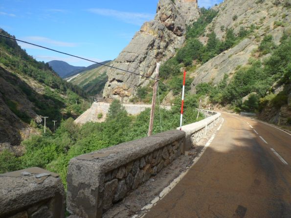
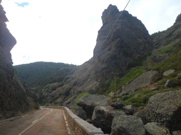
I am well on schedule to reach Villamanín before 7 p.m. It's warm, it feels like 35 degrees at least, but the sign at a farmacía in Boñar only records 31°. After I've left the 'main' road (LE-626, almost reaching as far as tomorrow's destination Villablino, (which I will decide in the evening)) I change from an 'unsleeved' to a 'half-sleeved' T-shirt (to avoid a sunburnt left shoulder). I've chosen the 'white', i.e. presumably quiet(er) alternative route for the afternoon. It turns out more impressive than I had expected! The Río Curueño has worn a cañon into the rocky mountains, which lasts ages, and the wind from behind compensates the gradual slope. It's wonderful! Again!! I only wonder how the hell to get out of the narrow valley - especially, against which slope! The last 6 km till the Collado de Valdeteja - most of which still sort of run along the Río Curueño are not too bad (well, on the whole it's only 350 m up from Valdepiélago).


The Río Curueño   . . . .


. . . .  has worn a canyon   . . . .


. . . .   into the rocky mountains


Out in the open again
I go down only 200 m till Carmenés, where I have a break with a coca and (I hardly dare to admit) a Magnum ice cream, on a windy terrace, with quite a lot of people. And a strong wind as well. The first km out of Carmenés is 'steep' (in the Spanish way), and after that the last summit - according to the map called Villanueva de la Tercia - is in the pocket. The weather is changing, dark clouds are gathering, but there will be no rain (as far as I have witnessed). I arrive at the destination of the day shortly after six. The first building I think hosts the youth hostel (a sign on the front wall reads 'Asociacion juvenil') luckily doesn't - it looks rather shabby/unfriendly. The 'real' youth hostel is situated at a plaza in the center of town, and it looks so 'closed' that I fear that once again I'll be the only guest - and will there be anybody to receive me at seven?


. . . .   Alto de Carmenes


Youth hostel in Villamanín

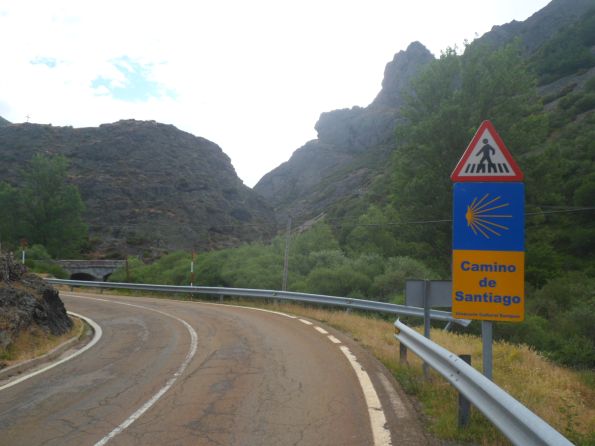
Well, my first fear is taken away by a father with a blue-haired (!?) teenage daughter - both on their way to Santiago. Father tells me the entrance is on the other side of the building and suggests to let me in. However, the office seems to be on 'my' side, so I stick to my bench in the plaza and catch up with my writing. At 7.15 p.m I try to contact the woman I've spoken with over phone yesterday, and within ten minutes she arrives - right from the swimming pool. The inside of the hostel is very complicated for me. It's not possible to go from one entrance to the other without passing over the first floor. I keep walking in the wrong direction! Apart from the two peregrinos there's also a quartet of geologists (Catharine, George, and ...?) from Ireland (one of the girls has some Dutch roots as well - and a mother that has lived in more than fifty countries), and since she has prepared a meal (pasta + mushroom sauce) for four while one of them will be away till late, I can join them (and add my salad - and let them have my microwave lasagna for later). It's nice to have a meal in a group for a change. They tell me a lot about their practice project for the university, 'mapping' the area, and the mountains crumbling over during the eons in particular. I enjoy the mountains in León in my own way. A very nice evening of a very nice day!


↓   ↓   ↓
   Next day