|
15-07-2018 Saint-Étienne-Vallée-Française − La Bastide-Puylaurent 109 km
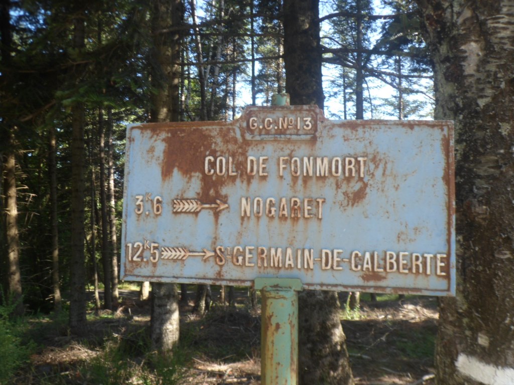
Gîte Le Pont-de-Burgen − D983/D140 − Saint-Germain-de-Calberte − Plan de Fontmort − Barre des Cévennes −
Saint-Julien-d'Arpaon − Col du Sapet − Le Pont de Montvert − Col de Finiels − Le Bleymard − Col du Goulet − Belvezet − La Bastide-Puylaurent
At home 'on the drawing board' this looked like (and was meant to be) a relatively short and relatively easy stage. With as toit a first revisit to the Col de Finiels, the highest point so far, after ten years, and with all my luggage of course. I was mistaken!
This morning I have breakfast with the Berlin family of four, that will start their four day donkey tour today. Shortly after I get onto the D984 I catch up with a 'lady in red', slightly older than me (I guess) that is doing one of her weekly exercises, riding up and down from Saint-Étienne to Saint-Germain. She warns me of the climbing I will come across until Barre des Cévennes. Which I hadn't read from the map. Together we ride the road to Saint-Germain which is going up all the time, though not severely so, and then I say goodbye and turn left onto the road to Barre des Cévennes, which the lady n'aime pas. Indeed, where I had expected that from then on the road would be more or less even, it isn't at all. However, it's rather a quiet road and the weather is perfect (and today's distance is not so long), so I try to take it easy, have patience and enjoy it. Let my thoughts go from here to there to everywhere (but not too much to TU Delft). From the starting point Pont de Burgen till the Le Plan de Fontmort it's 900 m up and 290 m down (I learn afterwards). This 'Plan' feels like a col, and I expect a 6 km descent, but even that hope is vain (and then I get a bit annoyed and agree with my cycling mate's comments): the road keeps going up and down, and Barre-des-Cévennes is even slightly higher (than Le Plan de Fontmort).
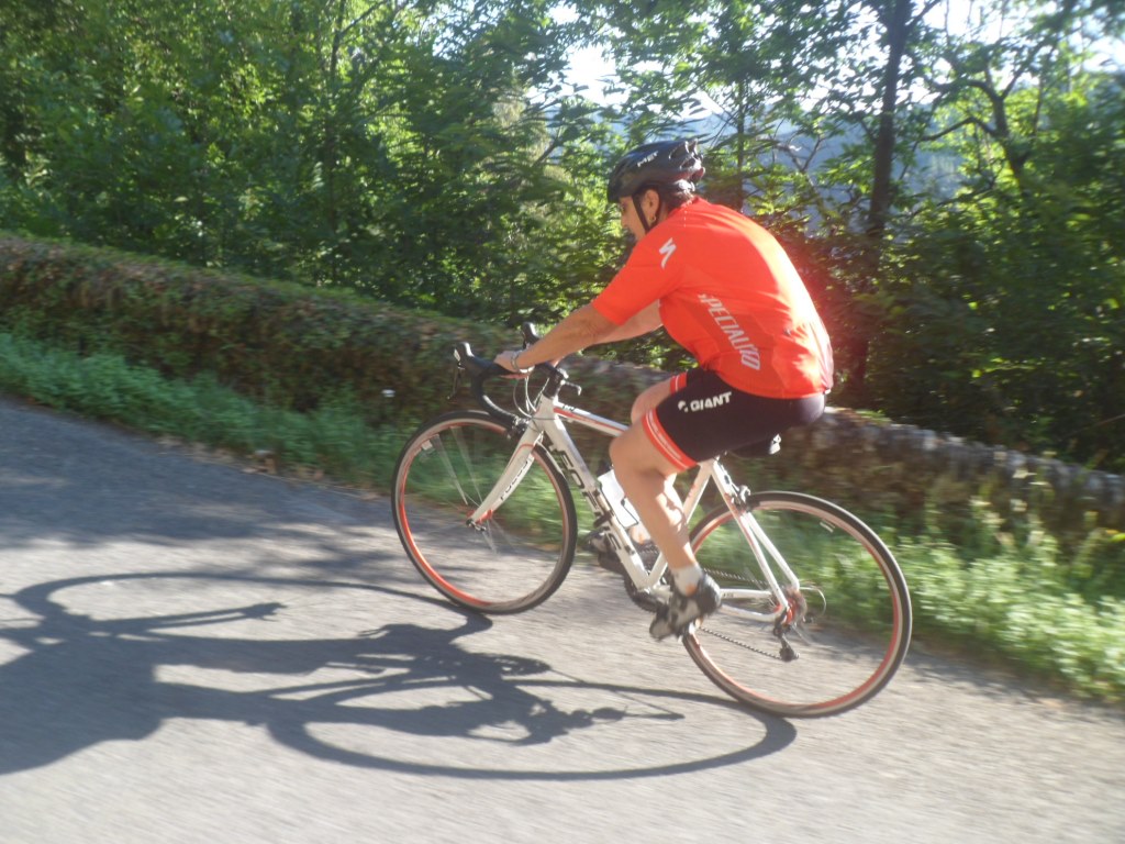
The lady in red
|
|
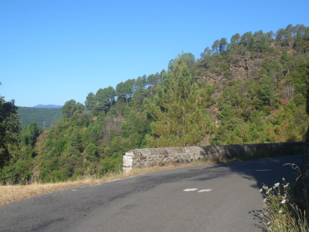
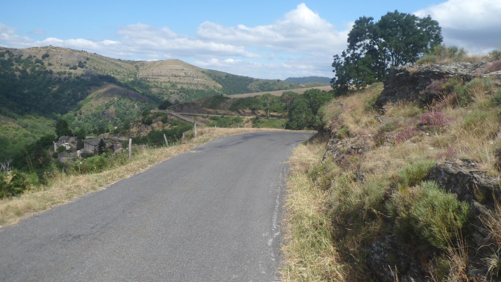
Quiet (and hard) road to Barre-des-Cévennes
|
Not the highest point
|
|
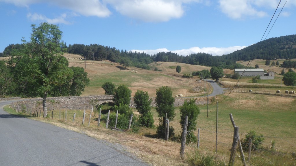
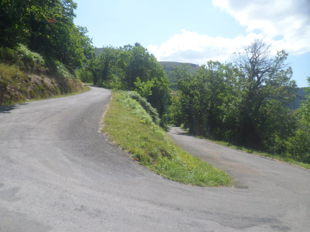
Just after Barre-des-Cévennes
|
A tiny bit further
|
|
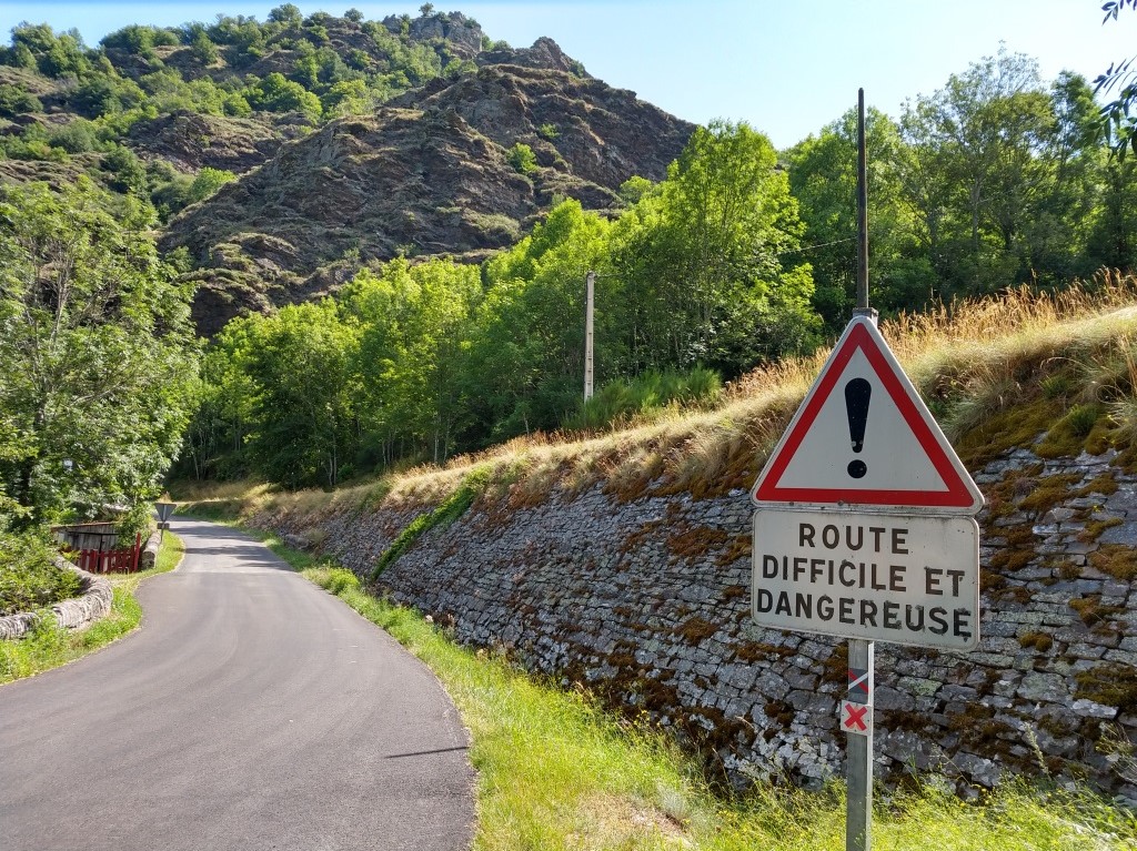
Rude part to Col du Sapot
|
Oops!
|
|
(Further up along the) Climb Col du Sapet
|
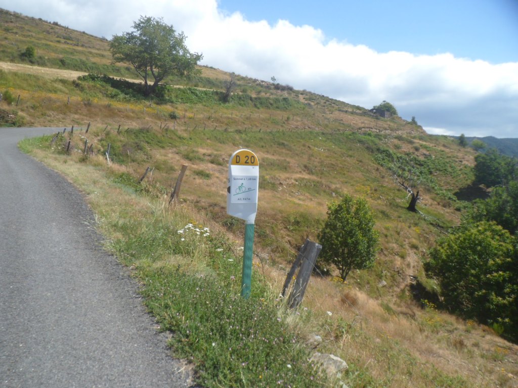
1.6 km from Le Sommet
|
|
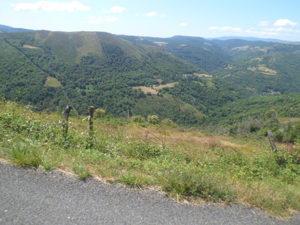
Climb to Col du Sapet with view back
|
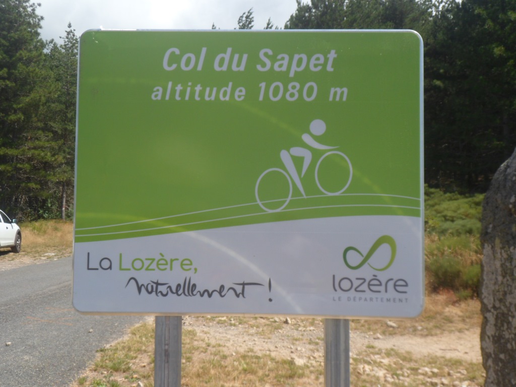
Le Sommet
|
|
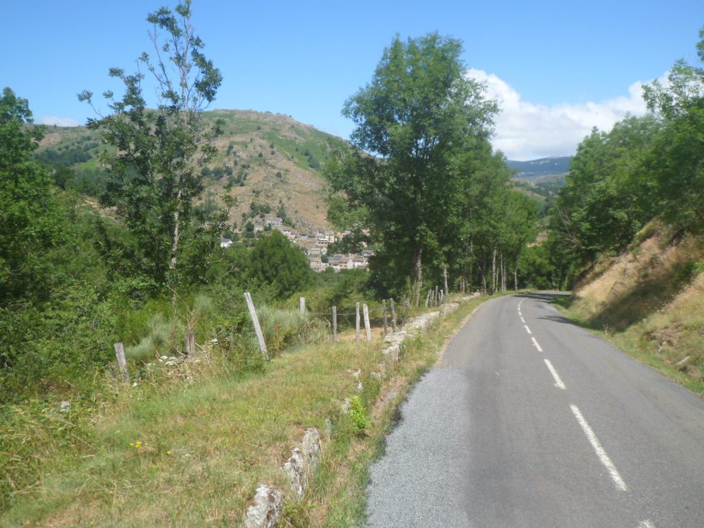
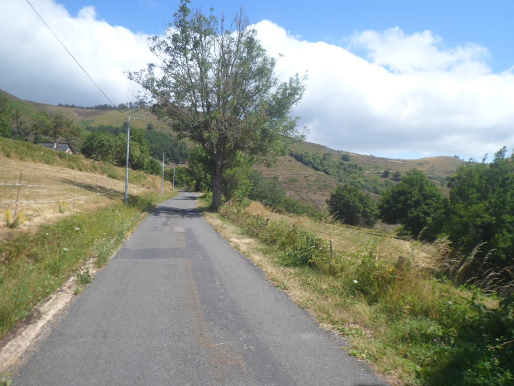
Approaching Le Pont de Montvert
|
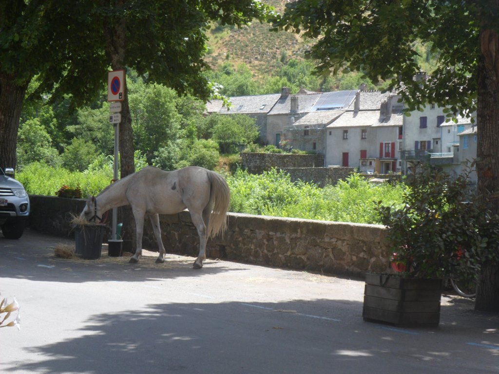
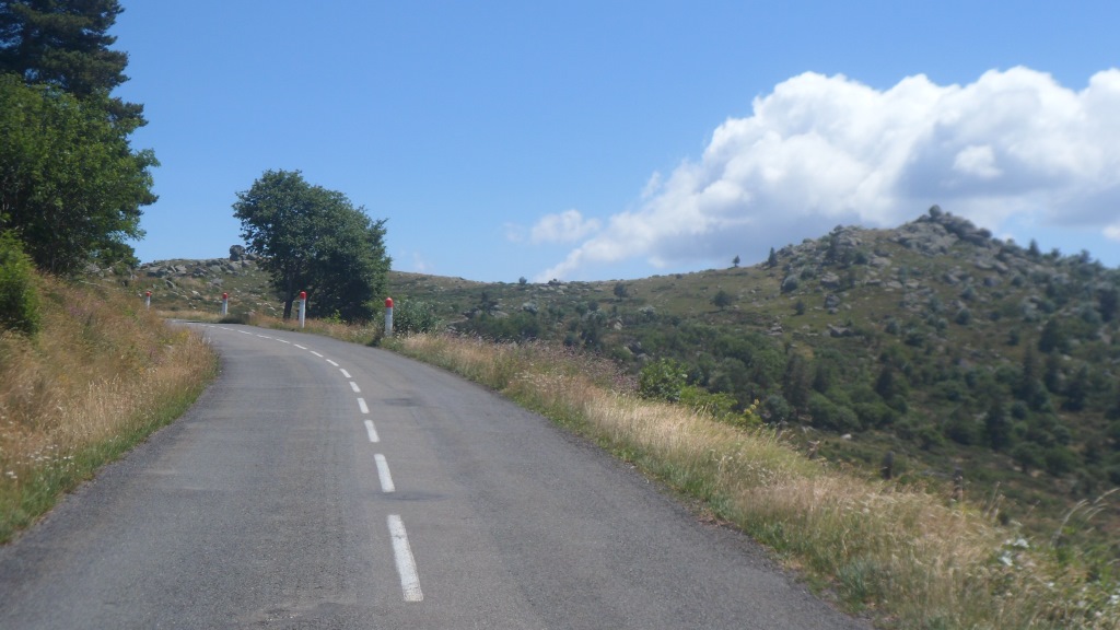
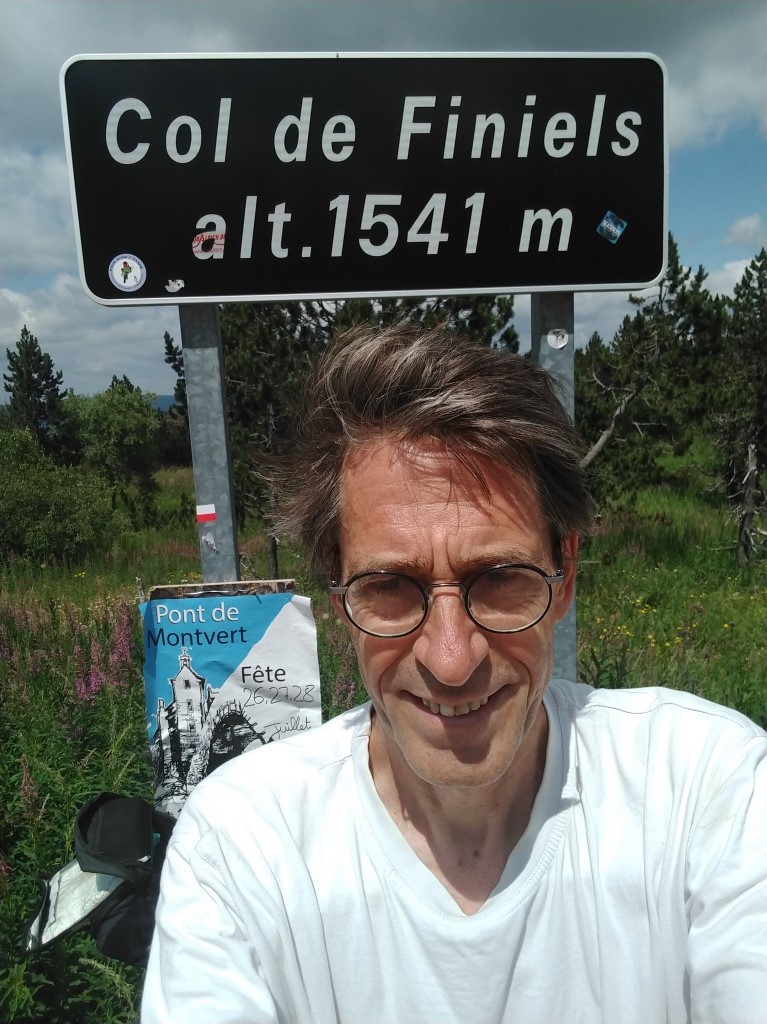
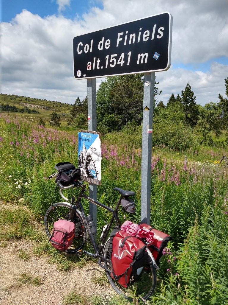
In Barre there is not a wide choice in restaurants, I don't even spot a pâtissserie, and I end up with some cookies and some fruits in an unsightly restaurant connected to the small épicerie. What I did notice every now and then, cycling from east to west over a rather sheltered road: There's quite a strong wind from the north. That's bad news for the open part to the Col de Finiels 😒. From Barre the road stays 'high' (± 1000 m) for a while, and then 'finally' (as expected) descends to the N106 in the 'deep' valley of the river La Mimente. After having crossed this river I continue on the D20, which then is classified route dangereuse, and which in 7.5 km takes me up 470 m to the Col du Sapet. I will set a new negative speed average today! Follows a short, not too steep descent to Le Pont-de-Montvert. I have lunch (salad with cheese on bread, from the oven) on a very windy terrace, right along 'main street', i.e. the D998, which very scenic road five years ago I followed all the way to Génolhac. My bike stands next to two horses that are feeding themselves from a basket of hay. After this lunch break the climb starts almost immediately, and where on paper it's not an exercise to be feared − 11 km of climbing, most of the time around 6%, and not a single km steeper than 7.5% − today with the head wind it is! Especially the first part till the village Finiels. There the road turns to the east, I think I can already discern the top, close to a bend, but am mistaken. After the turn to the north the slope diminishes, but some three kilometers remain still. It's 3 o'clock sharp when I finally reach the pass, at an altitude of 1541 m.
Le Pont de Montvert
|
|

Windy climb to Col de Finiels
|
|
bis
|
Finally there
|
Highest point so far
|
|
Up again!
|
Colourful roadside, . . . . yellow . . . .
|
|
. . . . and purple
|
A windy descent to Bleymard, where I gather some food and courage at a Carrefour Express
on the ourtskirts of the picturesque village, with quite a few fellow cyclists, most (but not all) on mountain bikes.
Courage I need, as I can already can see the road − it's still the D20 −
going up quite steep and against the wind.
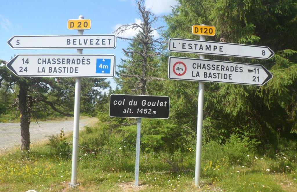
Indeed, afterwards I learn that I climb another 420 m till the Col du Goulet, with its 1481 m almost as high as the Col de Finiels.
Well, in the beginning it's really hard indeed, but later on there are some sheltered stretches as well.
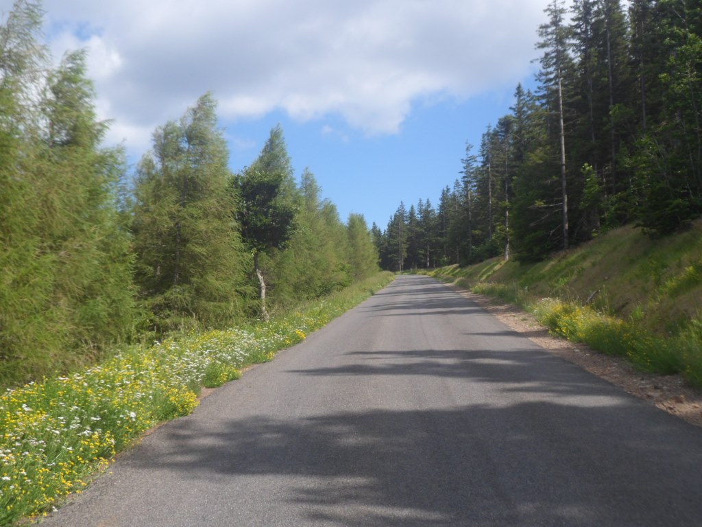
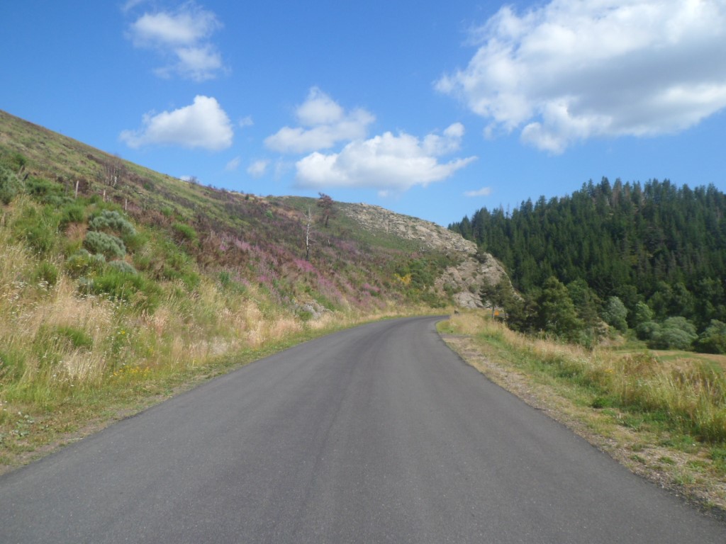
The descent, starting out quite yellow (a lot of broom), is quite nice, and with a side wind and still some altitude difference
of minus 200 m, the last 18 km till La Bastide offer no more difficulties. Around 17:45 I reach my final destination:
Maison des hôtes "Les Étoiles". It is right along the road.
I don't have much energy left to go into town and do some some shopping.
Moreover the friendly host, half-Belgian Philippe, takes me in and supplies me with a Leffe Blond.
It's good to sit with my sore butt (a term I learned from Art) on a soft chair, out of the wind, licking my 'wounds':
109 km with an average of 15 km/h. Luckily Strava 'grants' me a gain in altitude of 2650 m.
I have a small room of my own − never during the whole trip will I share a room − right under the roof,
quite warm at 6 o'clock, but okay at 10 p.m. (= bedtime).
I share the table and a lovely dinner with a group of four couples, all randonneurs à pied.
The food is delicious, and there's (more than) enough of everything.
|