|
30-07-2014 Ville-Vieille – Champis/St.-Romain-le-Lerps 104 km
Well, I do wake up sometimes, in my soft warm bed, luckily not in need of a bathroom, which is downstairs at the other side of the farm,
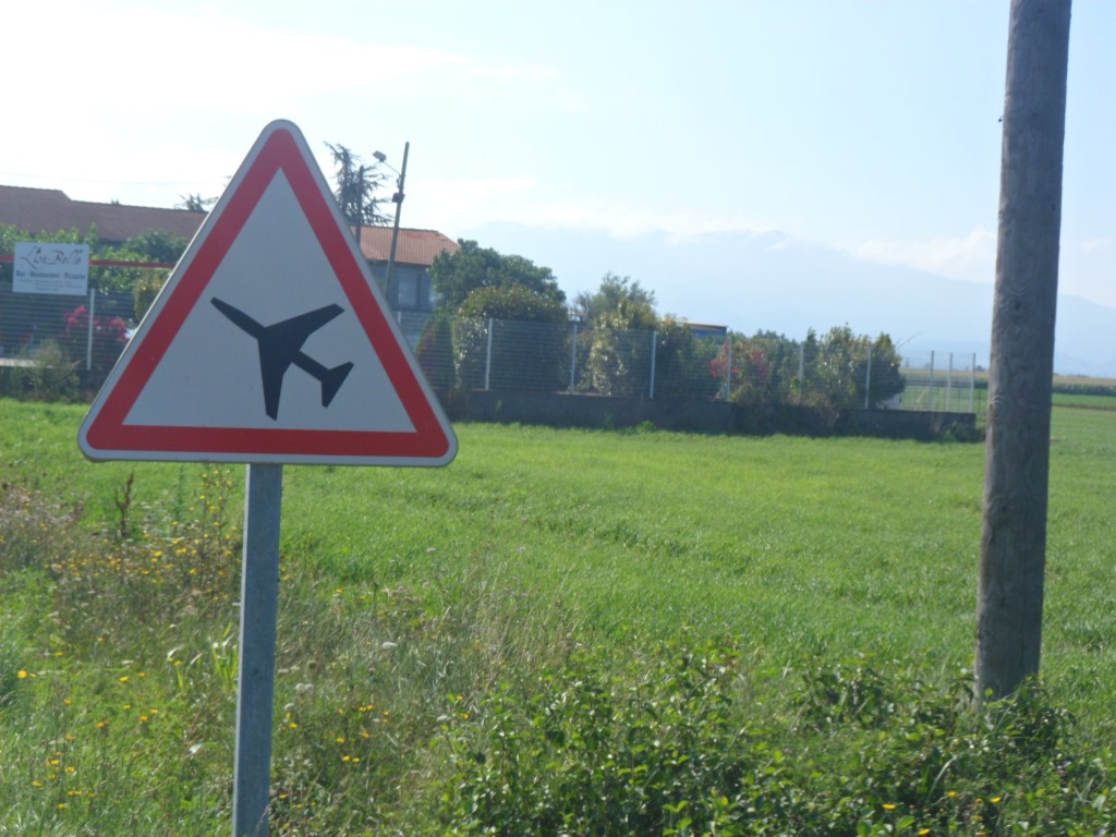
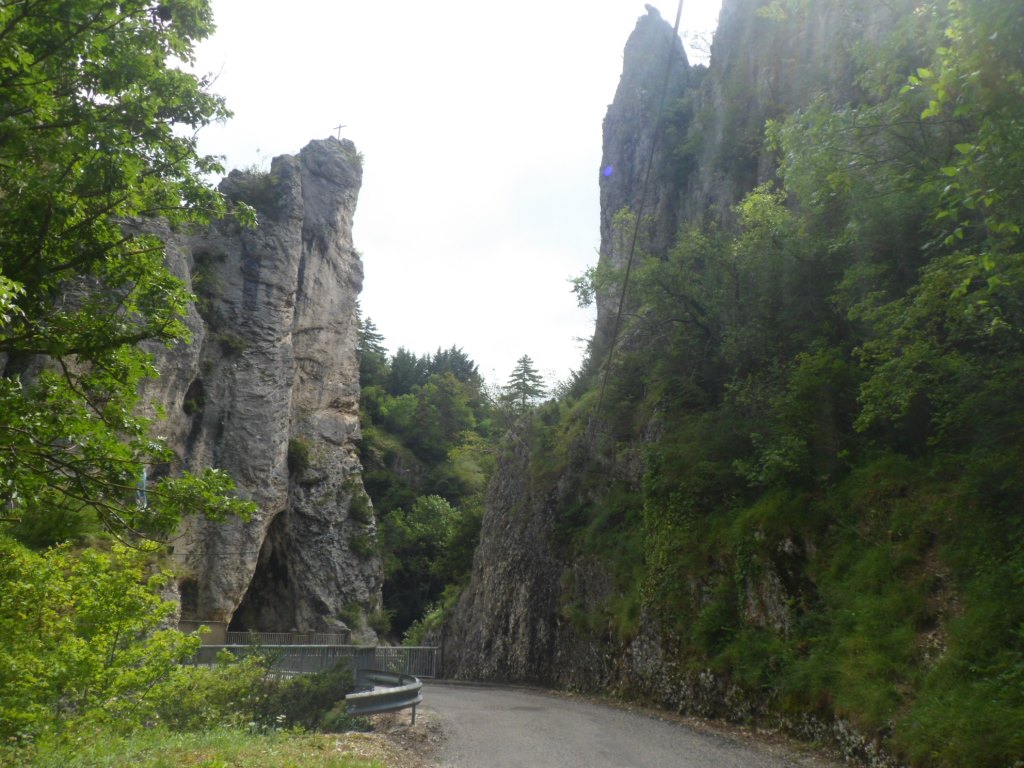
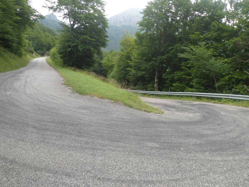
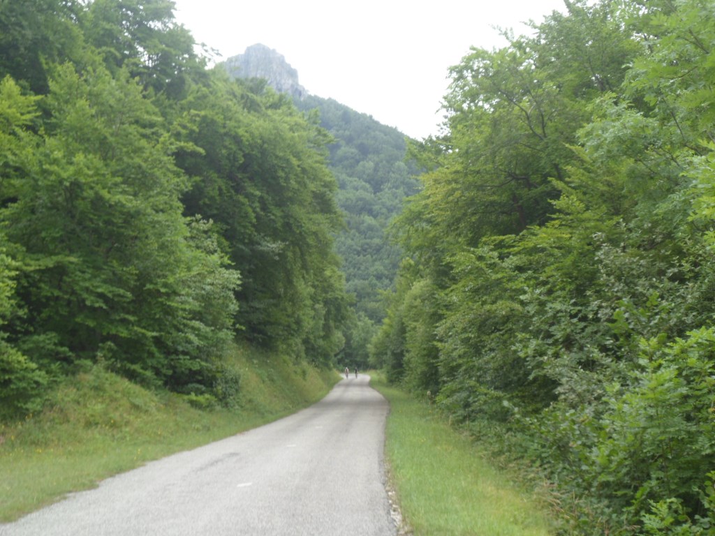
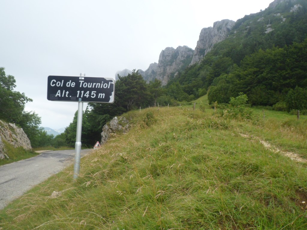
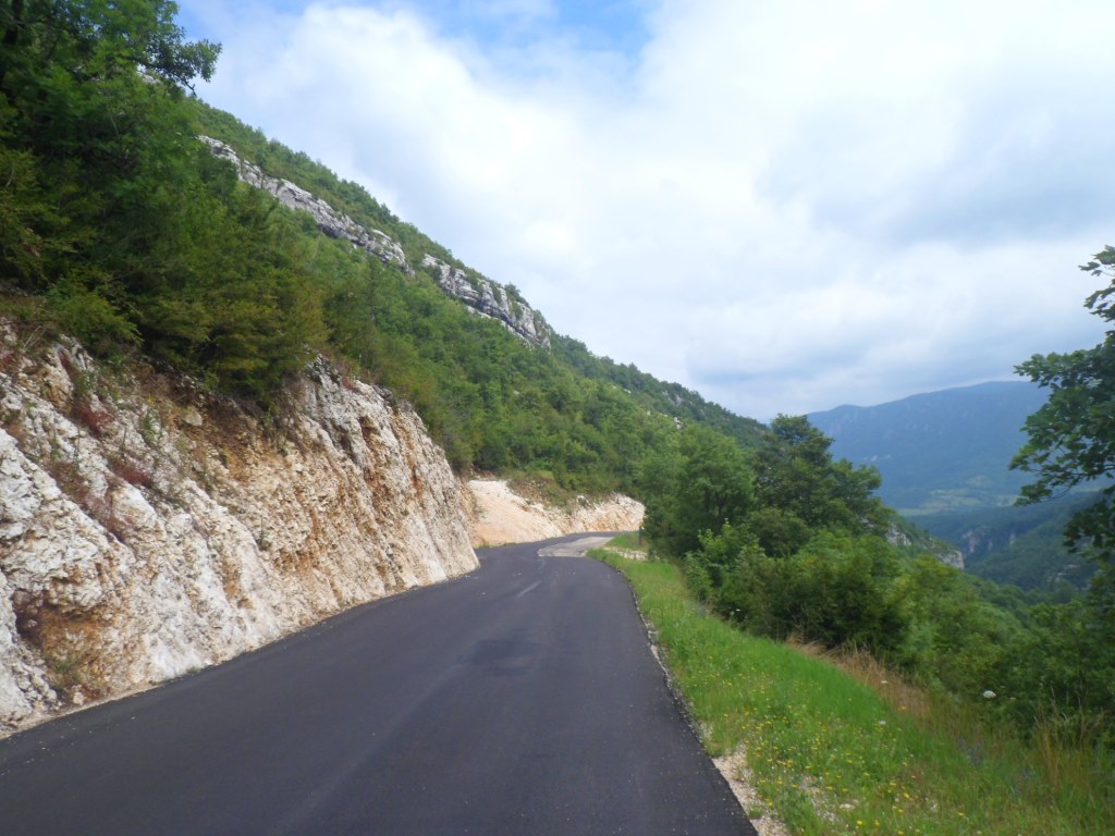
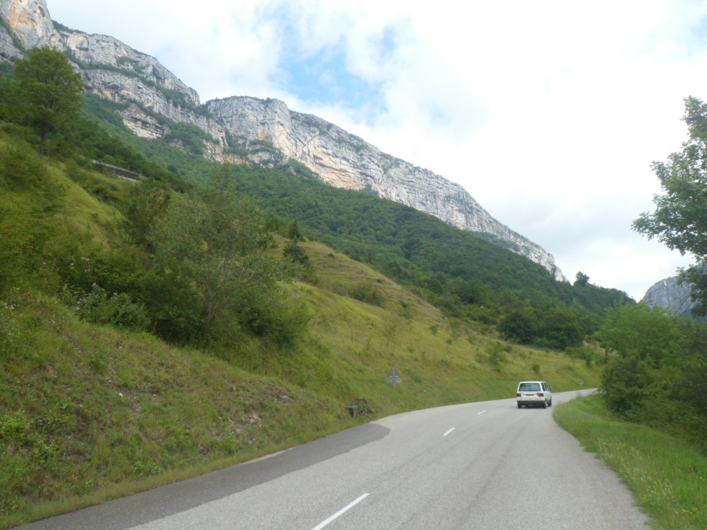
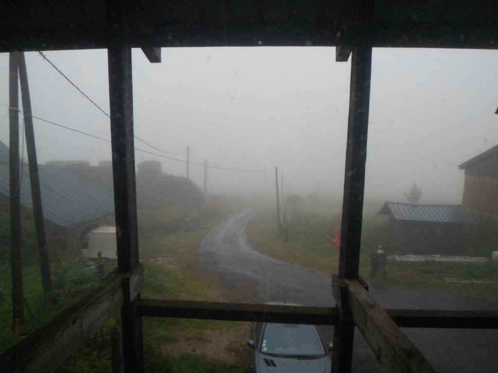
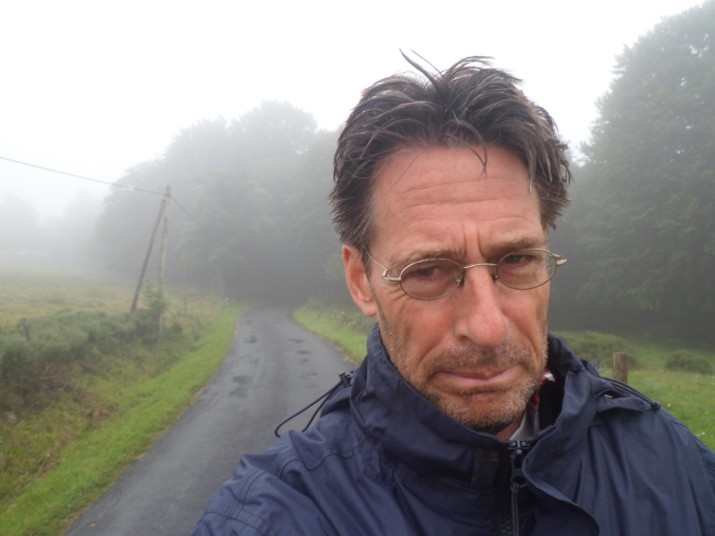
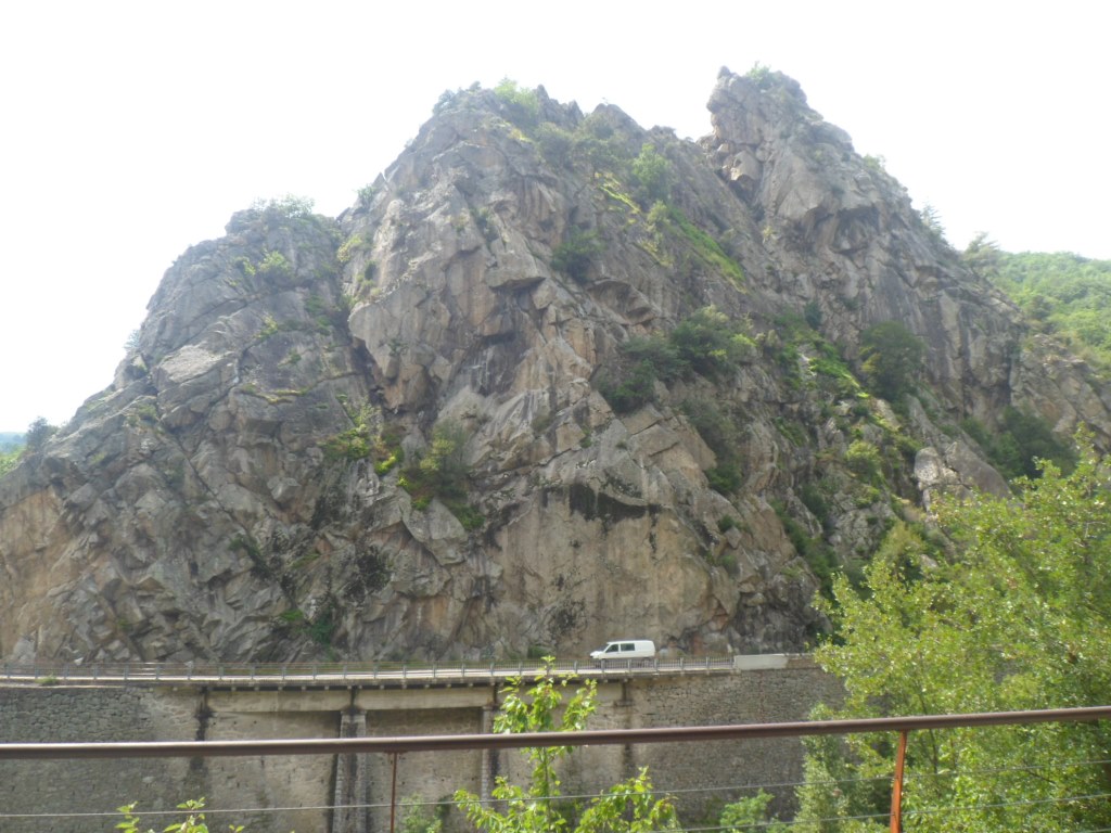
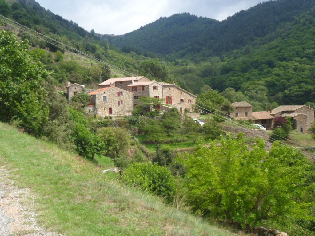
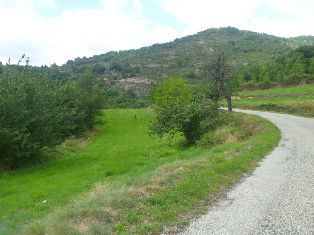
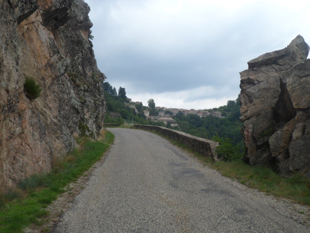
and all the time hear the rain, rain, rain. However, when I'm woken up by my alarm, at 7:05 a.m., there's no more sound of falling water. To my sorrow my first view out of the window doesn't reach beyond twenty metres. I decide I will skip the loop around the Mont Gerbier de Jonc. Instead, having finished breakfast, I curl up into the soft sofa, about the only luxury here, with my book and Prokofiev's second piano concerto, twice. It takes some time finding Michel, to settle the expenses, and around 9:45, when the visibility has slightly improved, set off, with four layers of clothing, into the drizzle, well, at the beginning it's a bit worse than that. And it's cold! For around 20 km I stay on the high Plateau de l'Ardêche, between 1100 m and 1400 m, and with the hard wind from my right it is quite an undertaking to take of one layer (the innermost but one) of clothing.
|
Same view, 12 hours later
|
|
Where's the bright side?
|
|
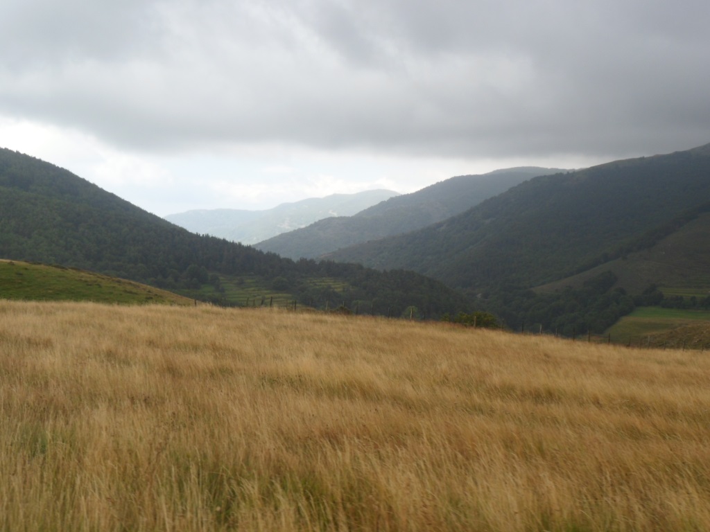
Disconsolate morning
|
|
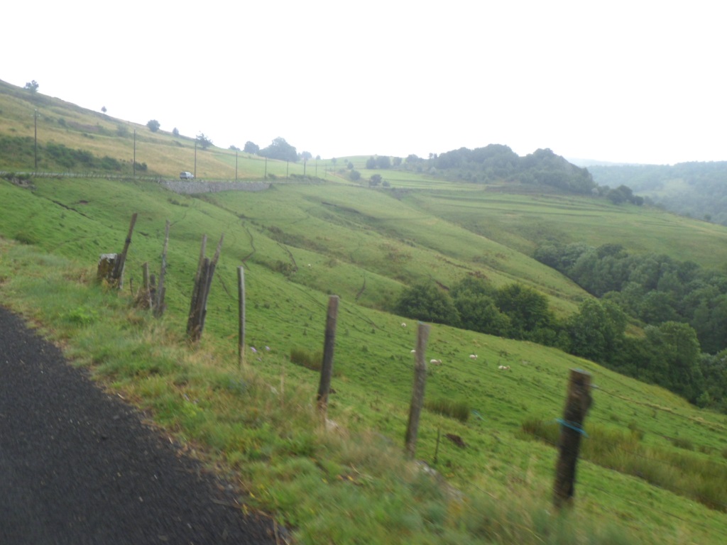
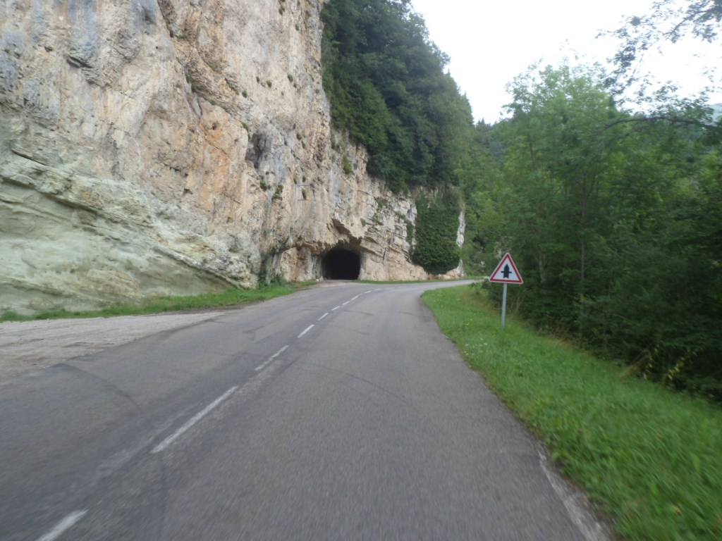
Still on the high plateau
|
|
And down from here!
|
|
Down down down
|
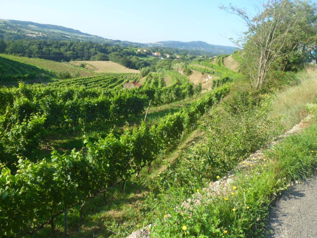
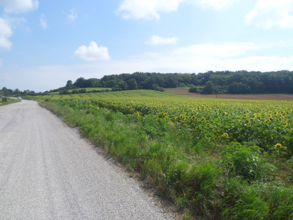
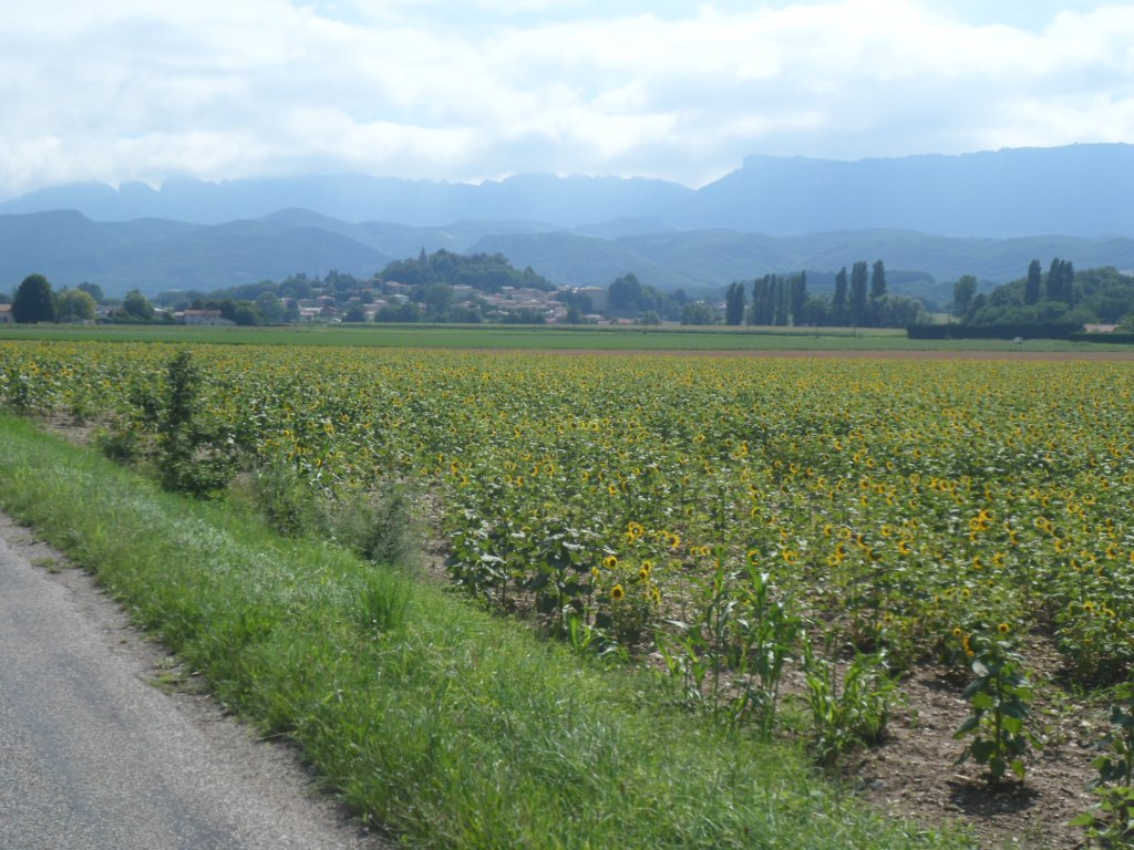
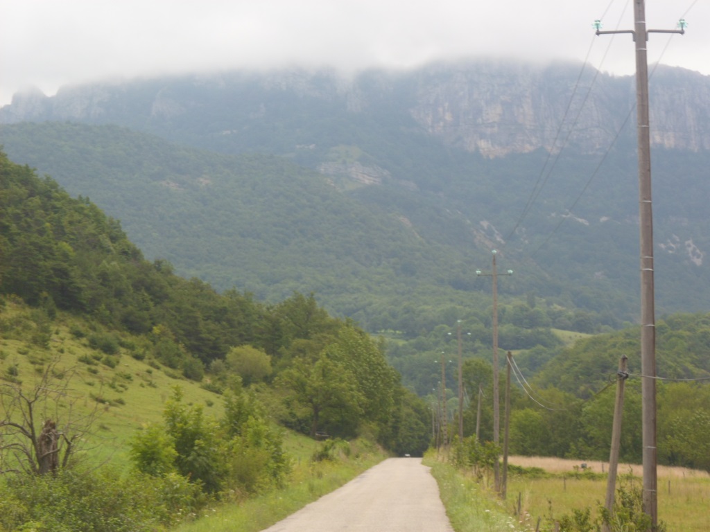
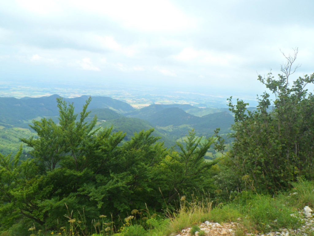
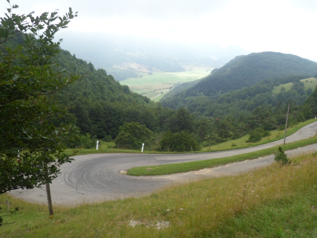
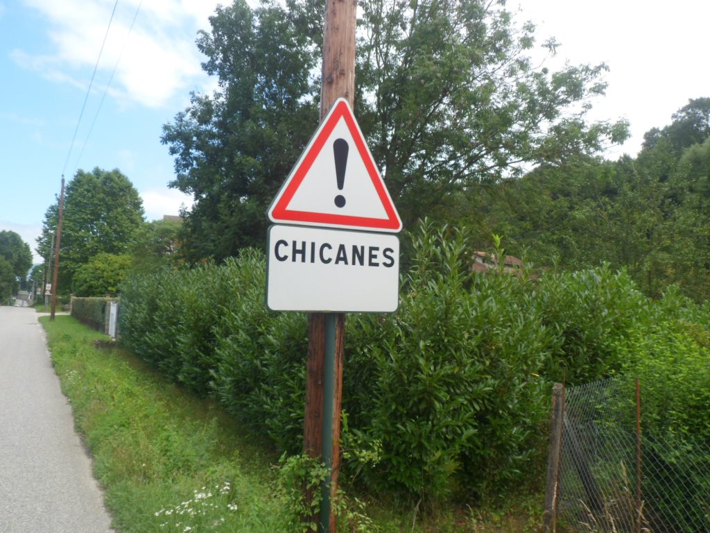
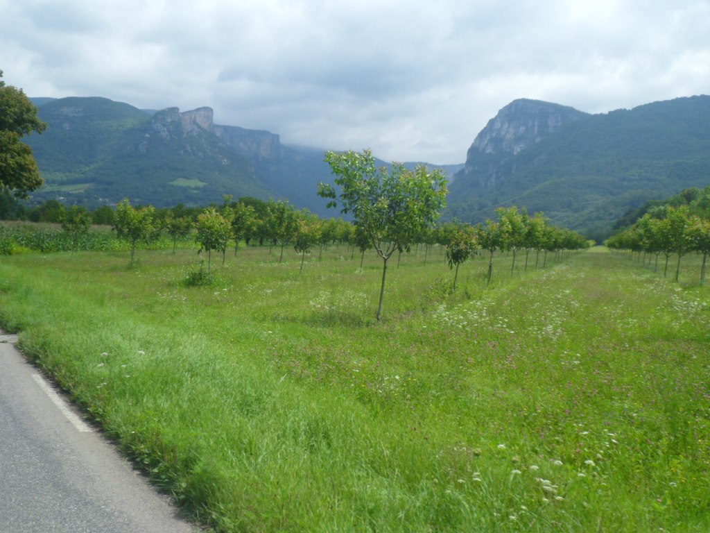
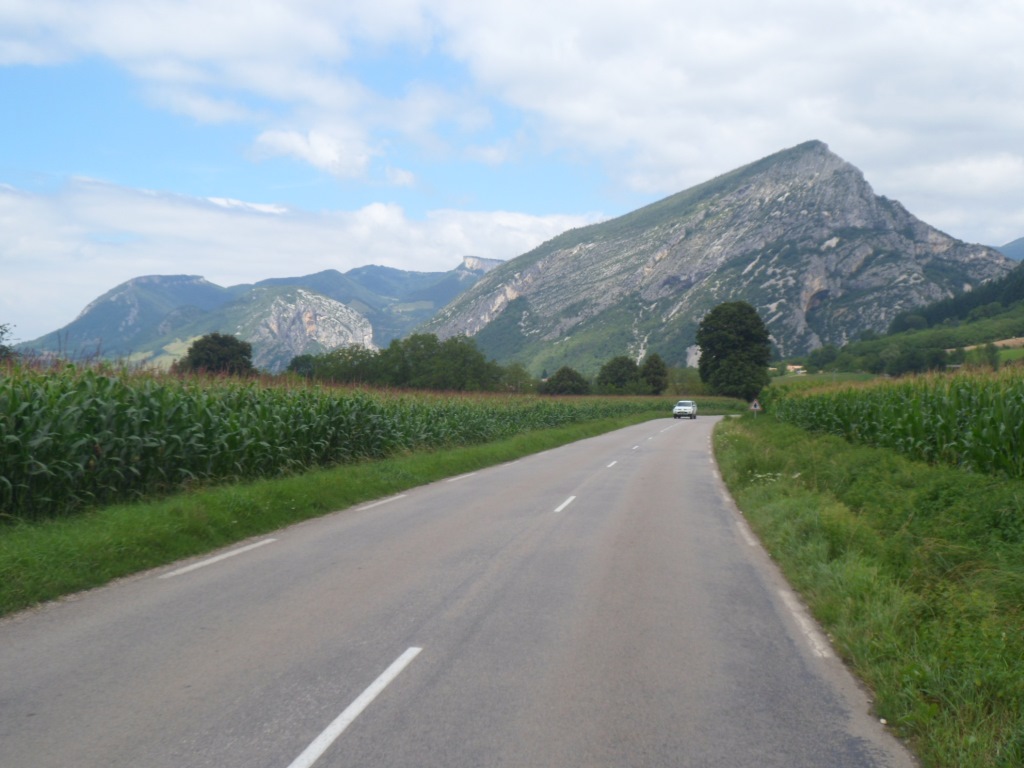
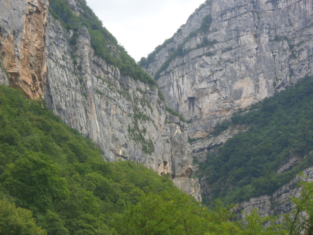
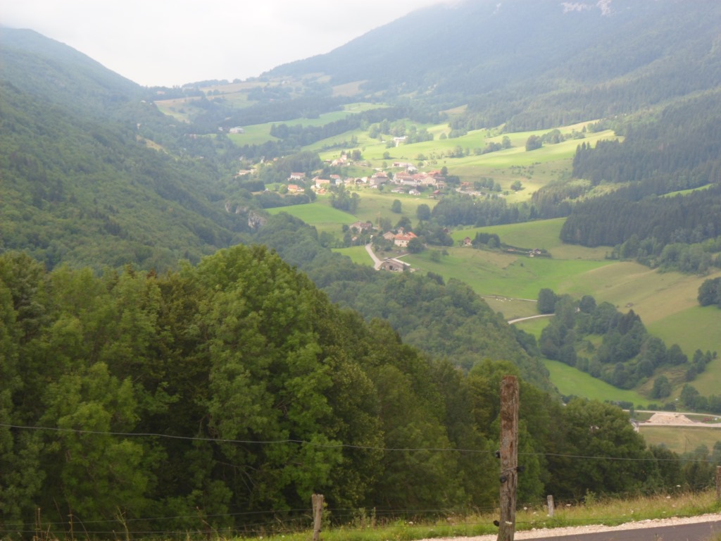
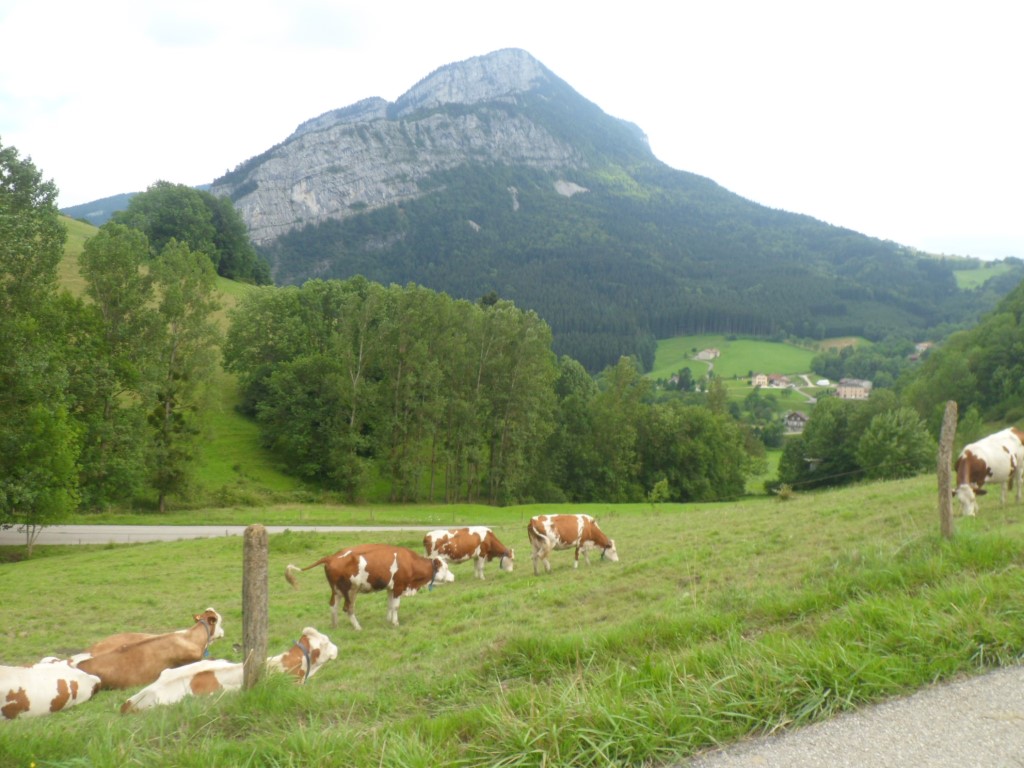
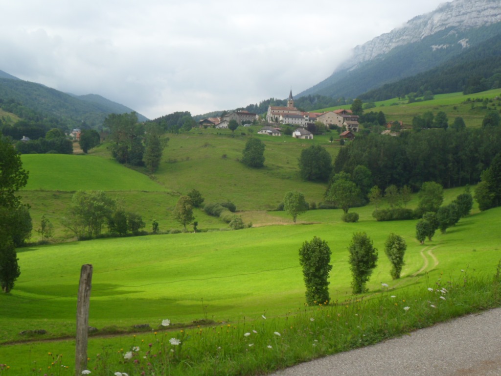
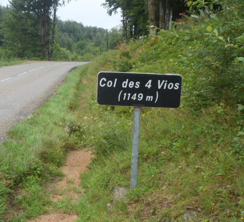
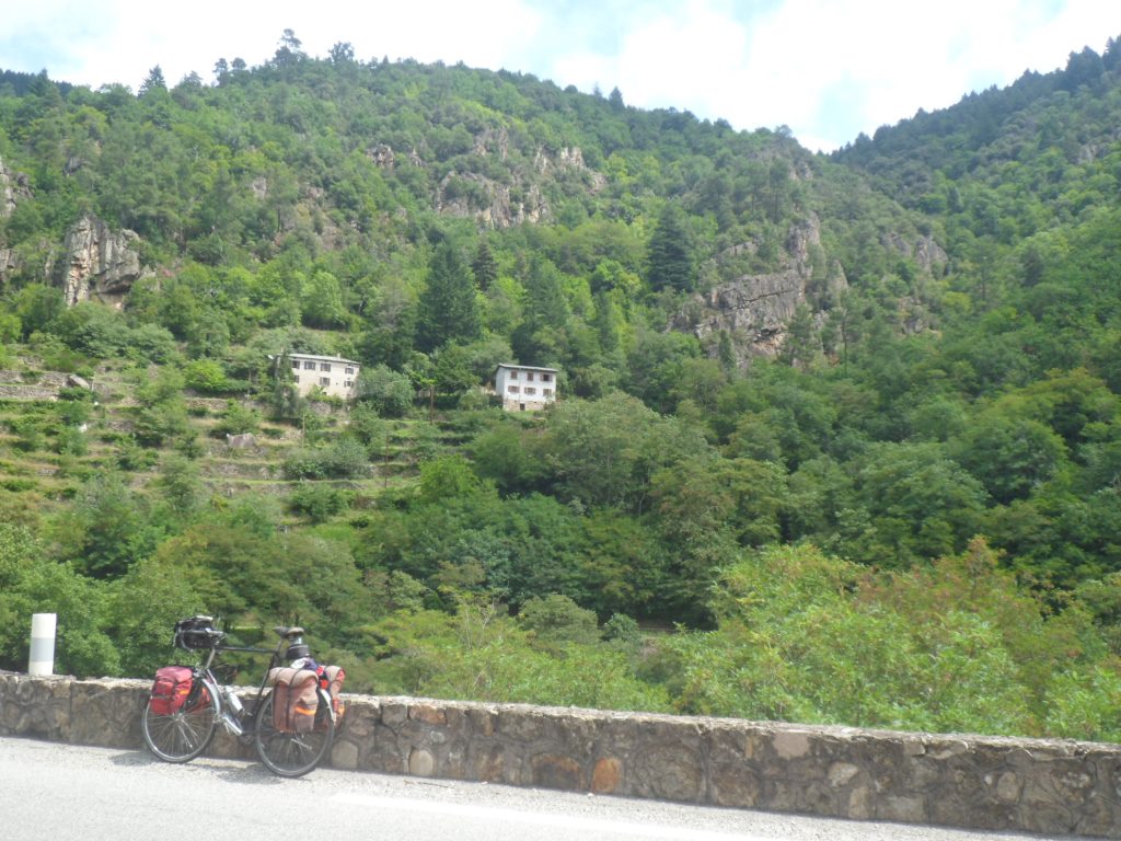
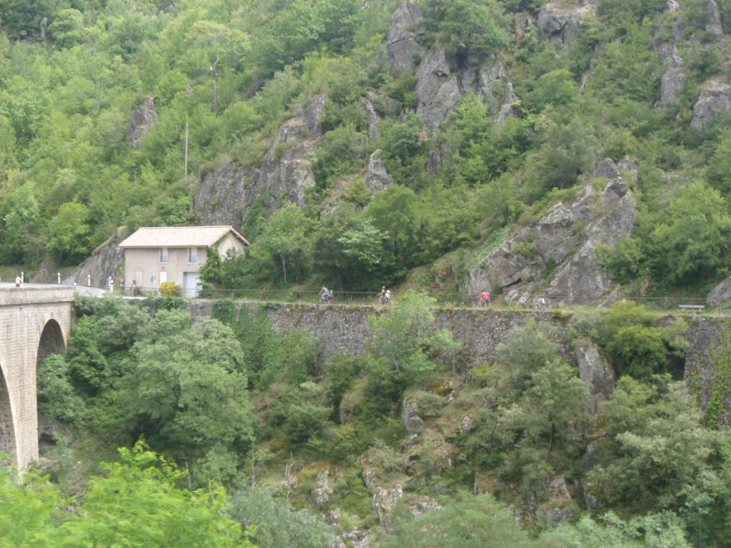
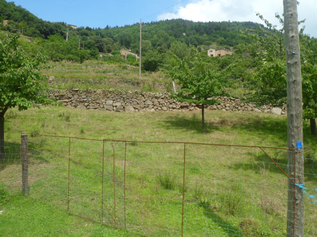
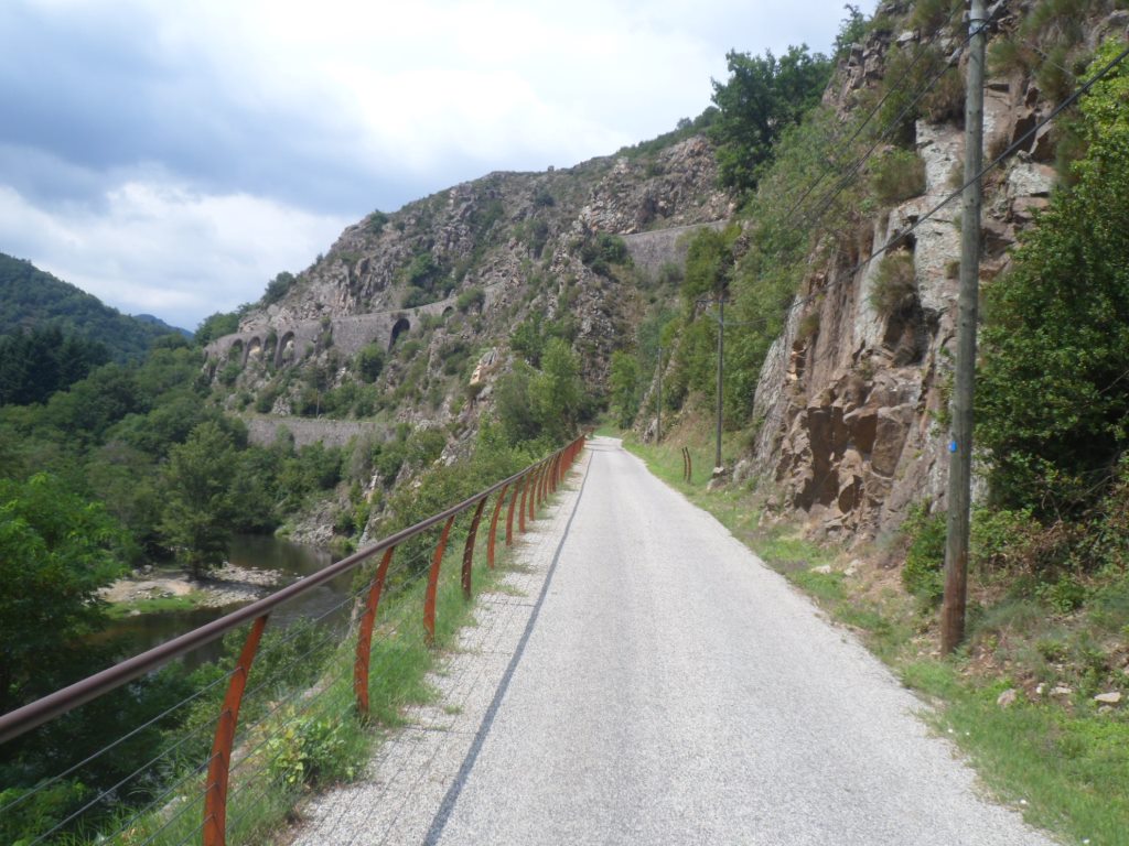
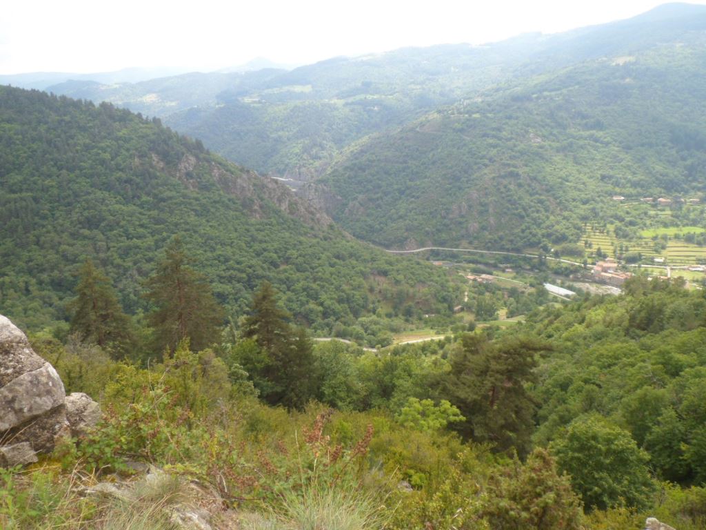
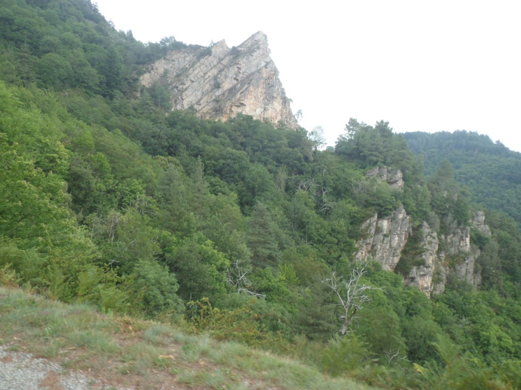
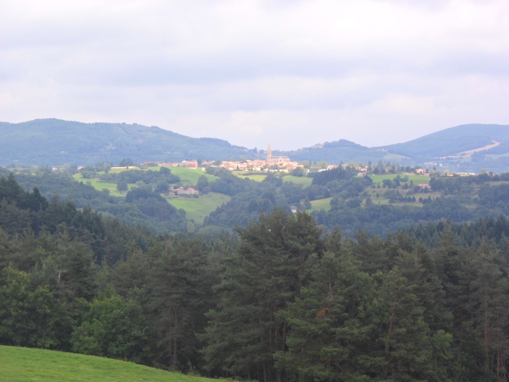
The Col des 4 Vios I get for free, and from there I descend into lower regions with better visibility, better temperatures, better weather in general, and the day will turn out very nice. In Saint-Pierreville, indeed some 700 m lower, I first fear (panic) I have left my purse in Ville-Vieille, until I find it in an unusual compartment of my pannier. I sit in the sun! with coffee, and two chaussons, aux pommes et aux châtaignes; indeed there are chestnut trees everywhere, I see them and I smell them; lovely! All in all, even with this late start, at 12 o'clock I have covered a longer distance than yesterday at this same hour. From Saint-Pierreville the road goes up and down for a while, until an unexpectedly long descent, with a completely looping (as at the Col de la Pierre Saint-Martin), brings me to Saint-Sauveur-de-Montagut, on the river l'Eyrieux. I must have come down almost to the level of the river Rhône, some 15 km further east.
|
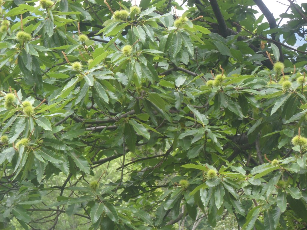
Les Cévennes: le pays des châtaignes
|
|
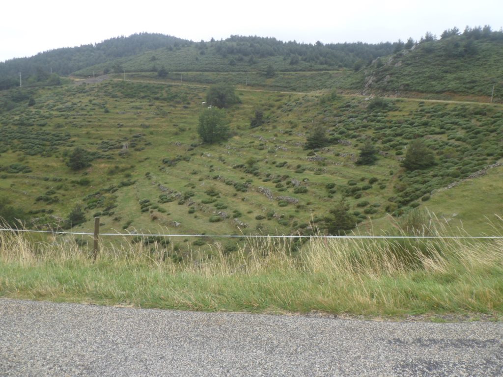
The world is getting brighter . . . .
|
|
. . . . and brighter!
|
|

Lowest point of the day: Saint-Sauveur de Montagut
|
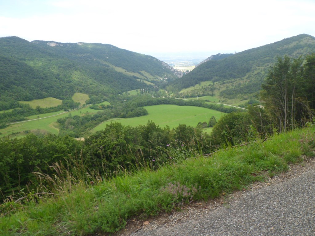
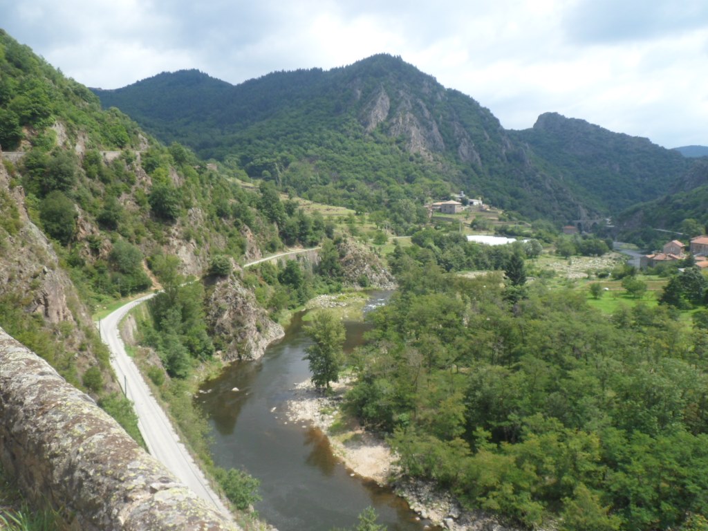
The local temperature: 23 degrees; that's not too bad. My original plan was to follow this quite big river some 5 km, and then start climbing
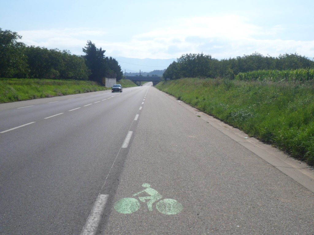
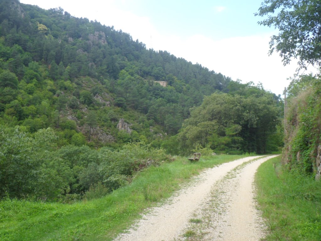
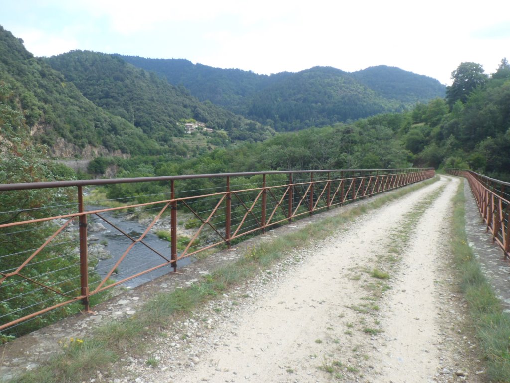
the last ridge separating me from today's destination. I don't mind the wind too much, the sun is shining, the valley is rather narrow and beautiful. On the other side I see quite a lot of cycling activities, a lot of children on back seats too. It appears there's a piste cyclable that goes as far as Le Cheylard, which is way out of my route, but I decide to change my route a little to enjoy this cycle path for some 8 km. It's unpaved, but it's fun. During the last km I can clearly see the road that is going to take me out of the valley.
|
Beautiful valley of the Eyrieux
|
|
Cycling activities on the other side
|
|
Piste cyclable
|
|
. . . .
|
|
Eight kilometers of fun
|
|
. . . . and the cars are on the other side
|
|
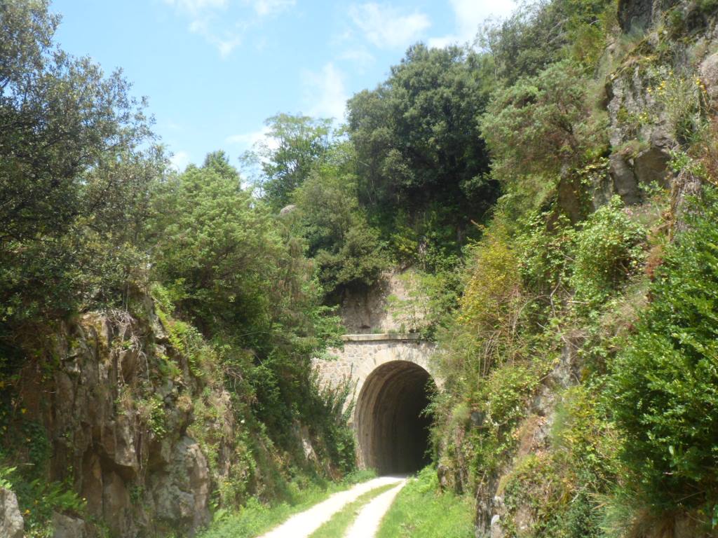
Looking up: where's the road?
|
|
There's the road!
|
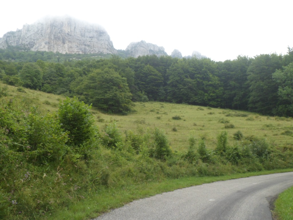
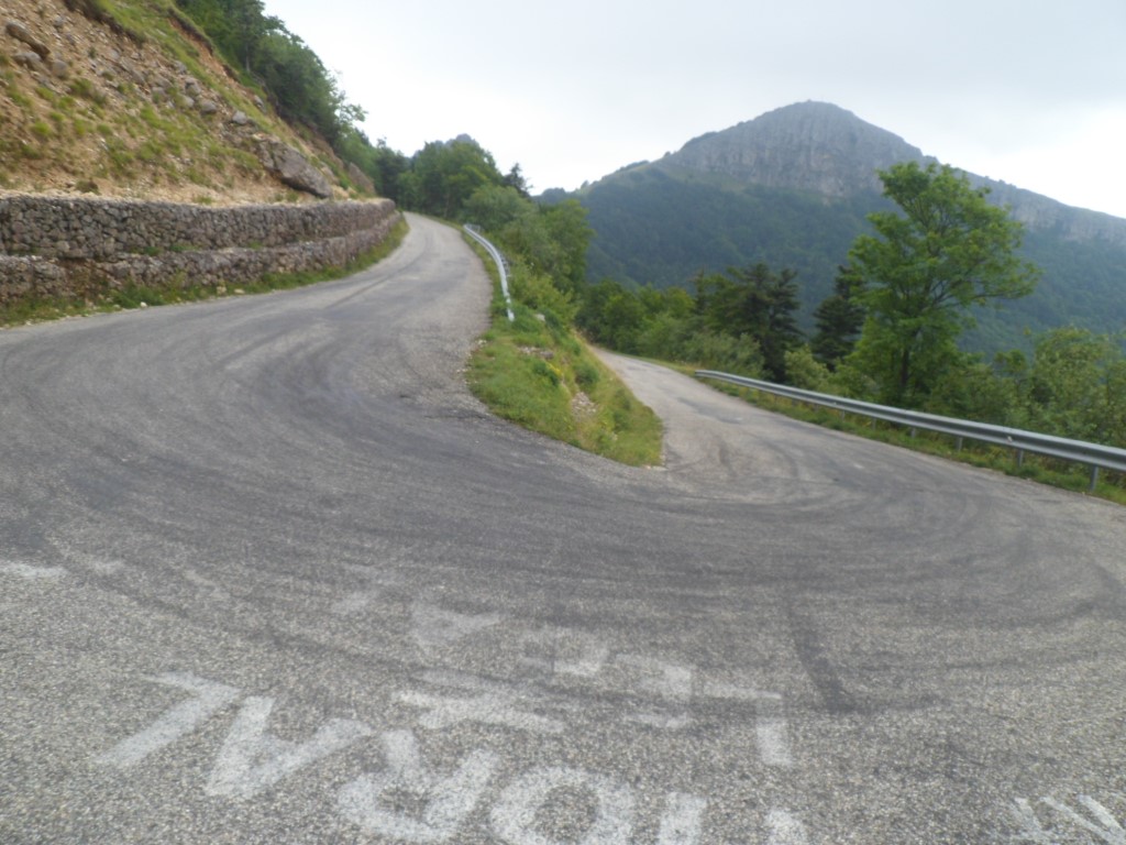
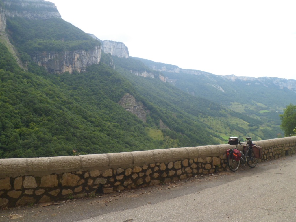
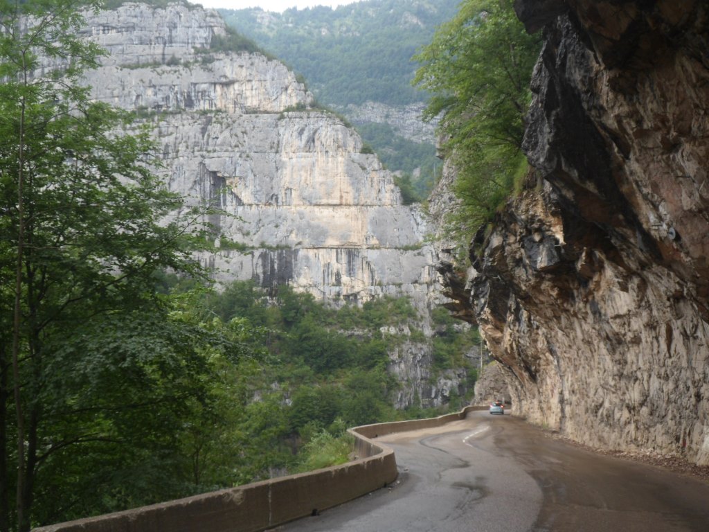
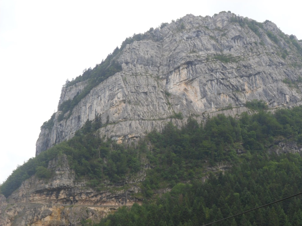
This will be the climb of the day, and it's a nice one too! Almost from the start I can see the village Chalencon, some 400 m up, at a col between two hills. The Eyrieux gets smaller and smaller when I look down upon it from higher and higher, the climb seems to last longer than the mere 5.5 km that the map indicates, and also contains a few tough sections (tougher than expected). The views deep down give the impression that I'm getting quite high (whereas the Col de Chalencon lies at an altitude of only 694 m).
|
First view down
|
|
View up, as far/high as Chalencon
|
|
|
|
Higher view down
|
|
Almost there
|
|
Even closer to 'there'
|
I definitely need a break and some refreshments when around three o'clock I arrive at (the Col de) Chalencon. While I take in food and drinks I follow two workmen filling their break with a match of jeu de boules (or so I guess). I have 26 km to go, there's not much climbing to achieve, no more busy roads to follow (there haven't been any today), and the weather is much nicer than foreseen. So the world is all brightness to me. The views back to (the Col de) Chalencon are quite nice too.
|

View back to Chalencon
|
|
Another view back with Silhac in between
|
I pass Vernoux-en-Viverais, leave it by a typical straight road bordered by sycamores, sycamores populated by cicadas. Over Vernoux a last view back to Chalencon, and a frightening view to a big dark cloud in the north, which I pass on the east.
|
Leaving Vernoux-en-Viverais
|
|
Risk of rain again?
|
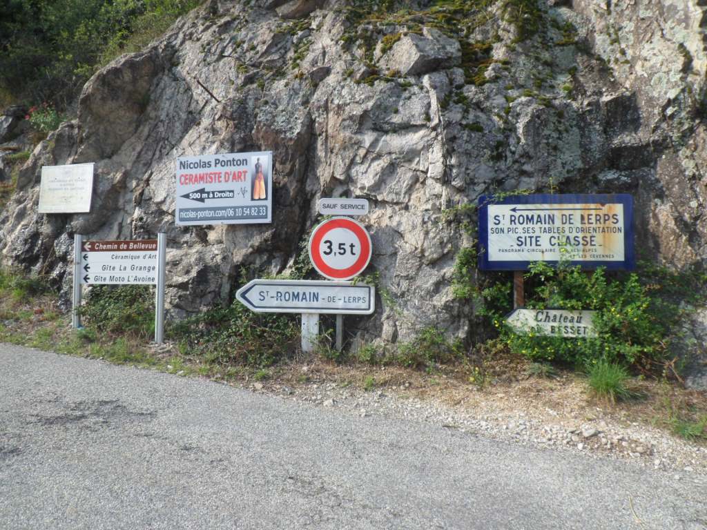
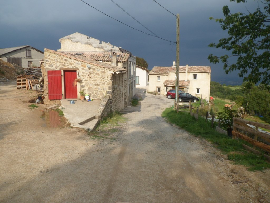
So far so good, but then: Alboussière: all shops are closed on Tuesday afternoon. Humpf! Champis: appears to consist of several villages. In the first one, Champis-Garnier: no gîte. A friendly woman helps me to locate it – calls to the people there and finds me a route by Google Maps. Eight km to go still, and not flat either! I get back onto the D533 to Valence and just before the junction where I think I have to leave this road to the left, I note a sign for a gîte rural to the right. Will that . . . ? I call the last number I phoned yesterday, which was the place for tonight, wasn't it?, and am connected to a very confused lady on the other side, and then her husband, who with a loud voice tells me that I'm at least 100 km from his place, and then I realize it's Michel, from Ville-Vieille. The other number I dial takes me to an answering machine. Well . . . At the (right?) junction (to the left) there's hope: two
gîtes are mentioned. However, the road goes up, there's another junction, and I don't know the name/location of 'my' gîte! One road goes up, the other down, I opt for the first. To end up at a shabby looking gîte moto – about the same category as yesterday's. After I have announced myself – bonjour! – three times a sleepy beauty of around 20 come down the staircase, as if she has just woken up.
She knows of nothing, not of my arrival, not of any other gîte nearby, and calls her Dad (?) for some information. It might indeed be the other road. Before I resume my search I learn that, if needed, I can have a room here. The other road ends at a building with a building site. No gîte. The people are friendly, with the number I give them they do get through to the other place, but they receive no positive answer from there.
|
Enough for one sleeping place (!?)
|
|
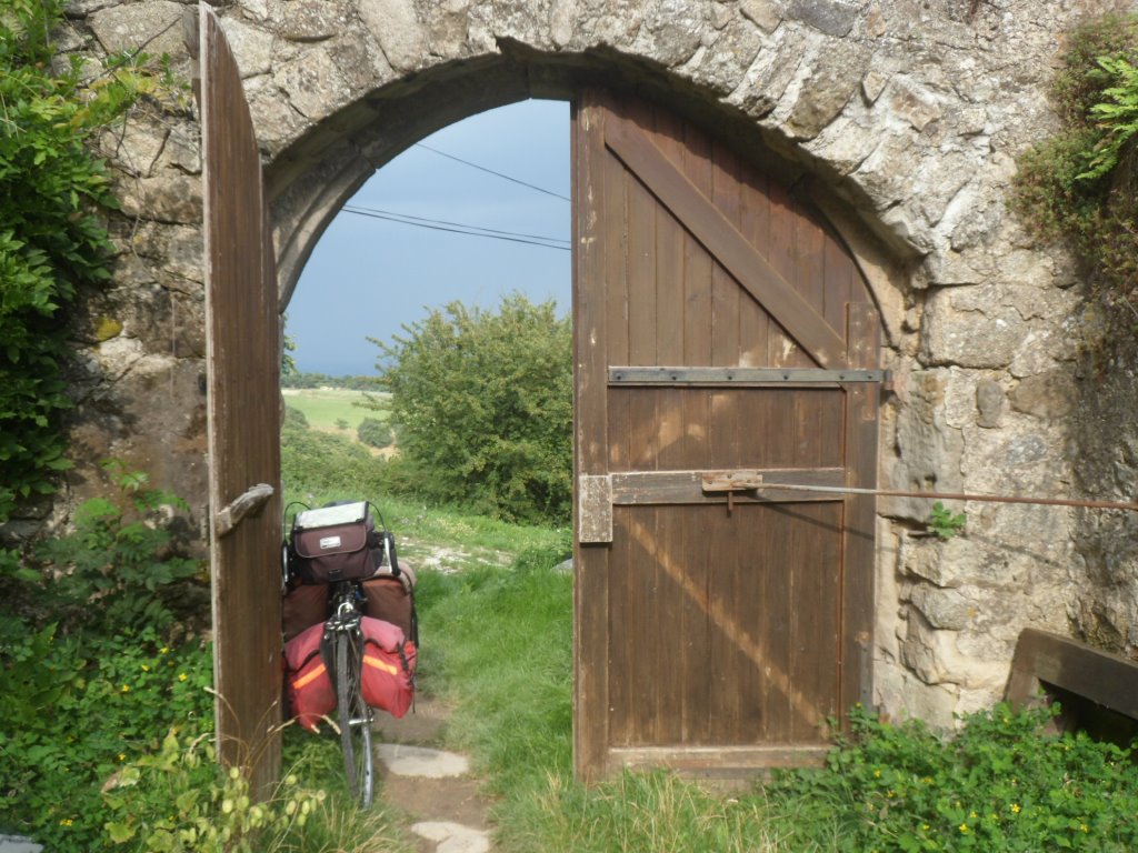
Hesitation to bring Koga inside
|
|
It's definitely not here!
|
|
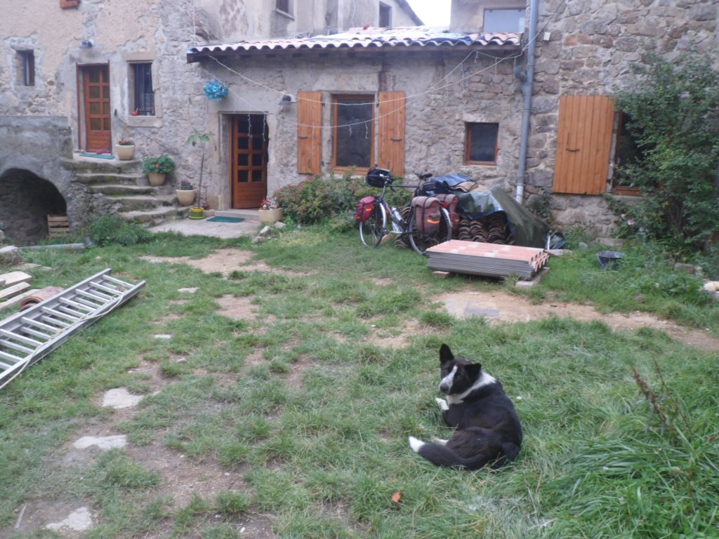
So hey doggy, here I am again
|
So back to the gîte moto, where I spend a cozy evening with Morgane and her stepfather Cocoun. Mum, who's off horse riding in the Pyrenees, has left several ready to warm up dishes in the fridge ;-)
|
|