|
07-08-2014 Montbardon – Méolans 99 km
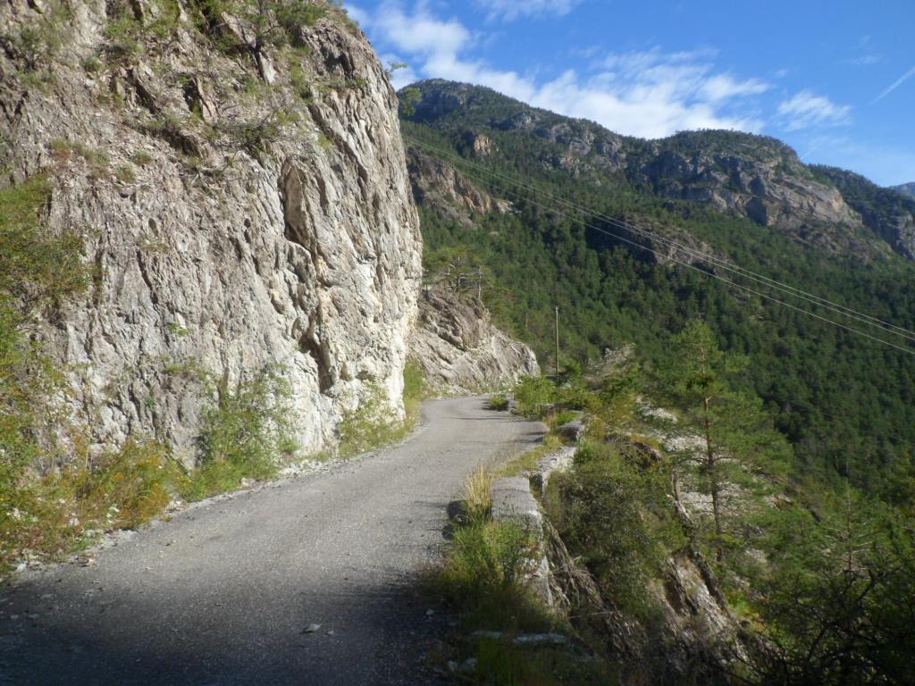
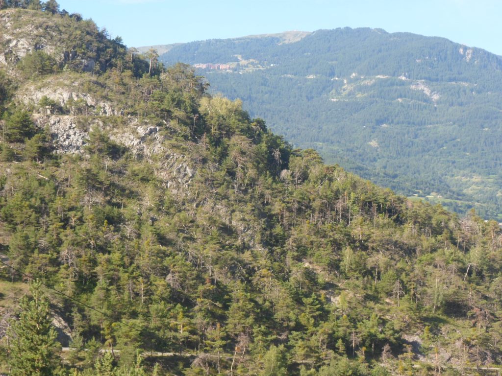
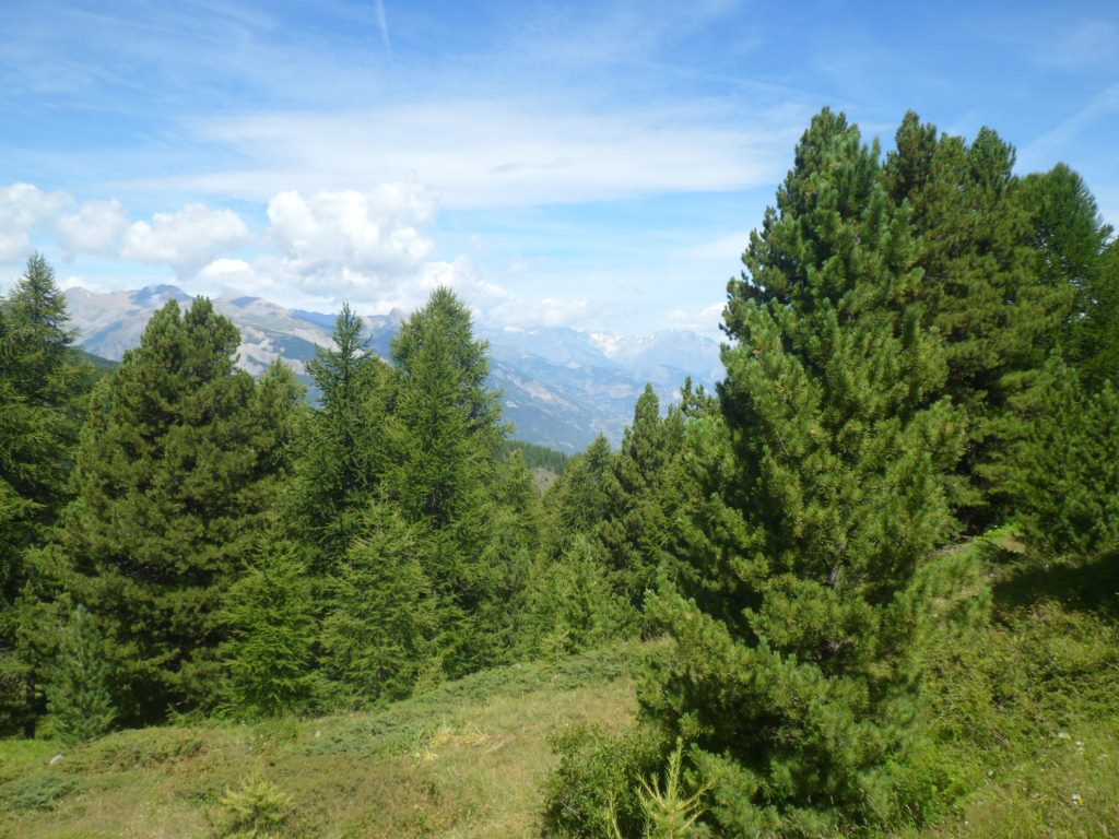
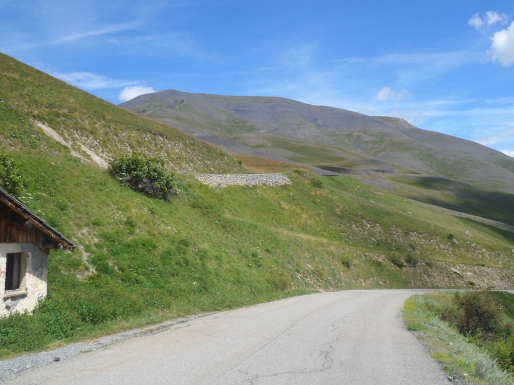
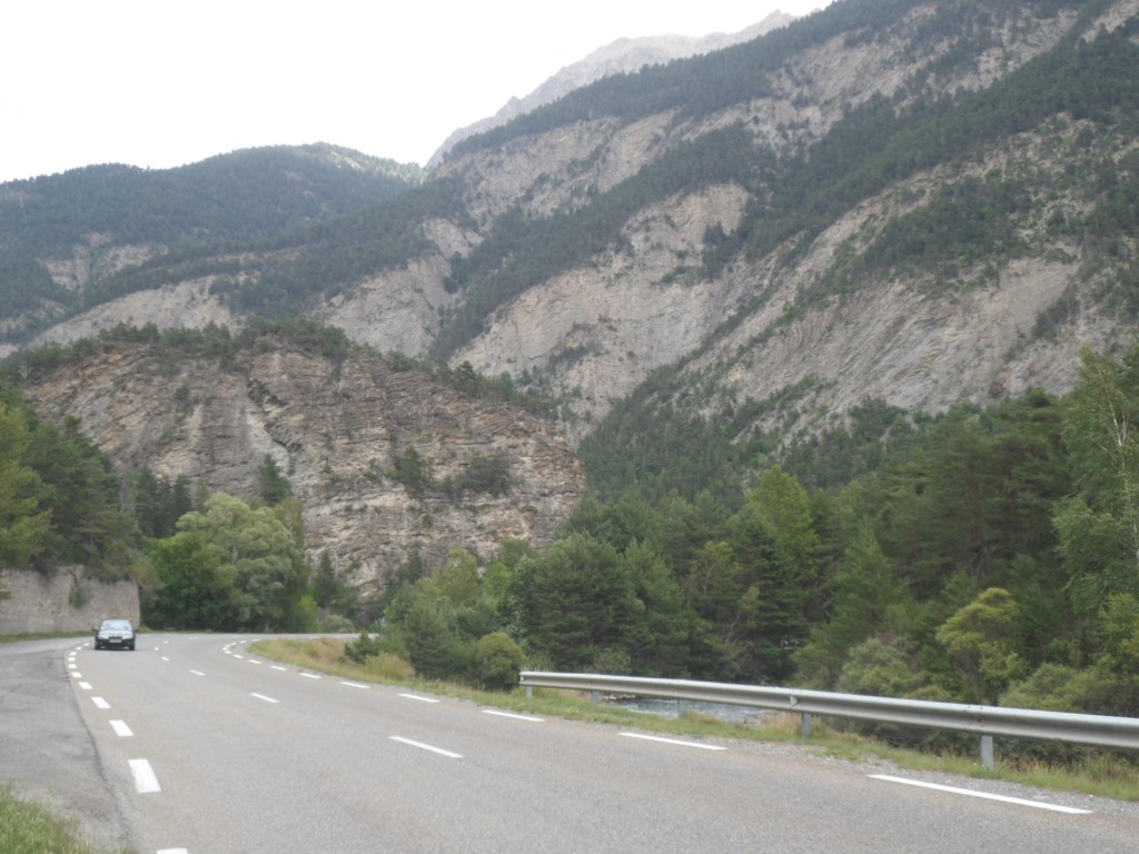
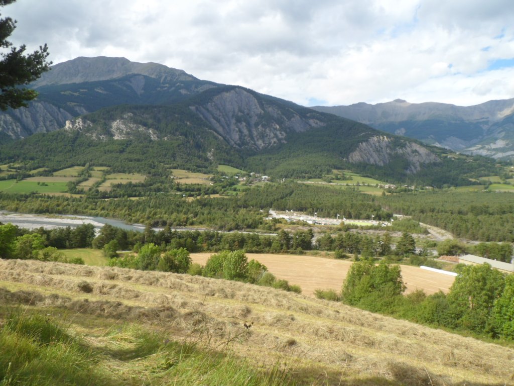
Breakfast at 7:30 a.m. It took some trouble to get it that early, but mum appeared more willing than daughter. The weather: fresh and bright. First a tricky descent over a small, curvy, road with patches of gravel, quite steep too at the end of the 3.5 km to get down to the Guil. From there an almost vertical view back/up to Montbardon.
|
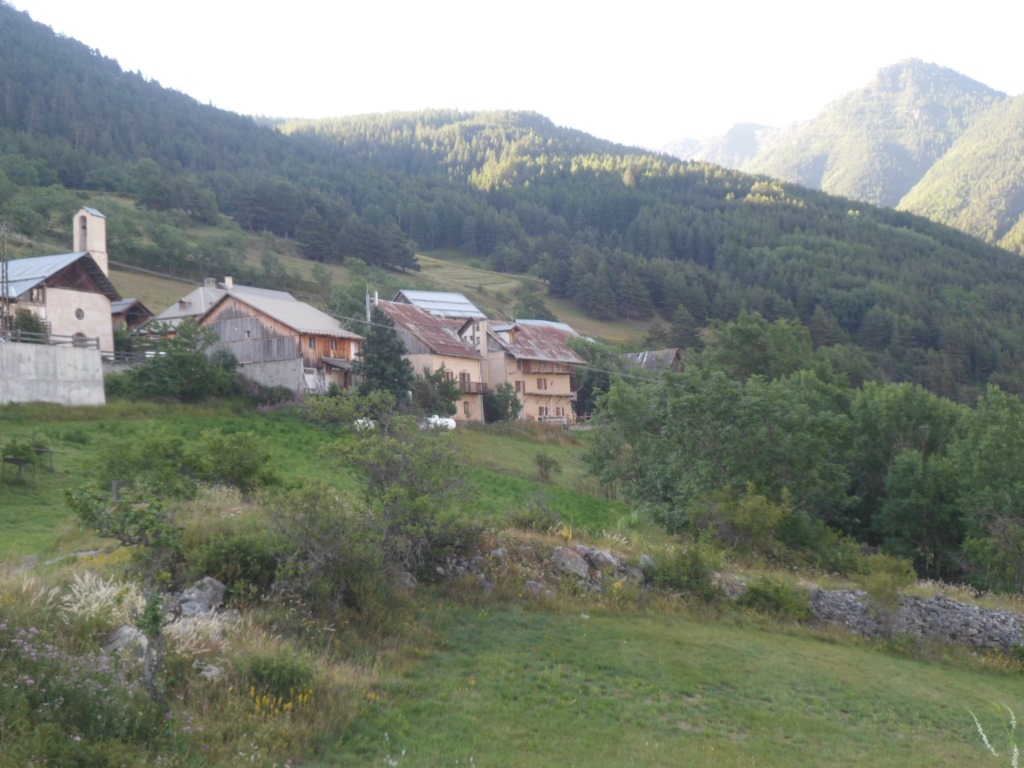
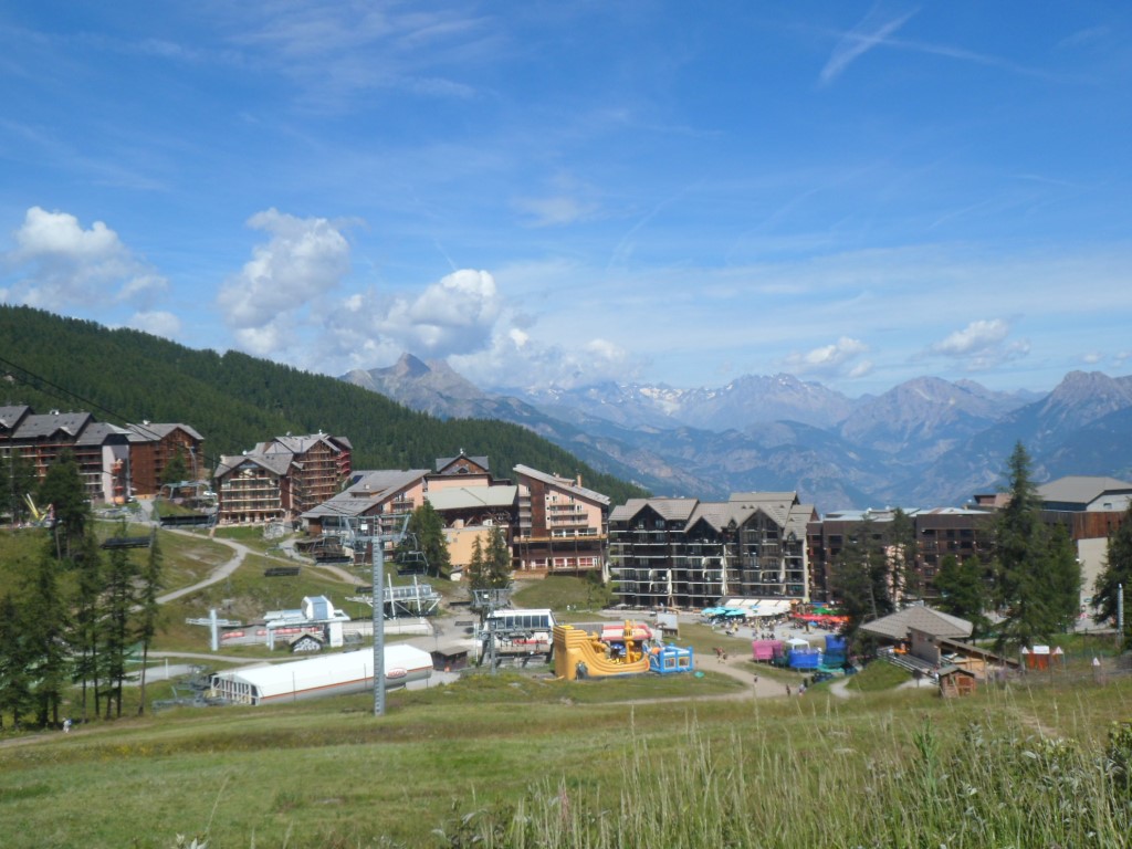
Montbardon on a peaceful early morning
|
|
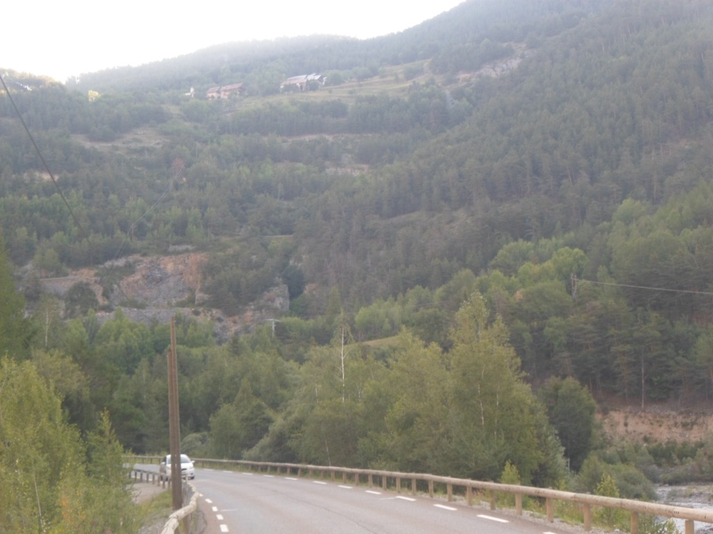
Steep view up to Montbardon
|
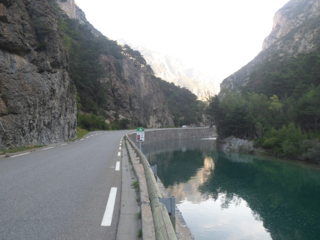
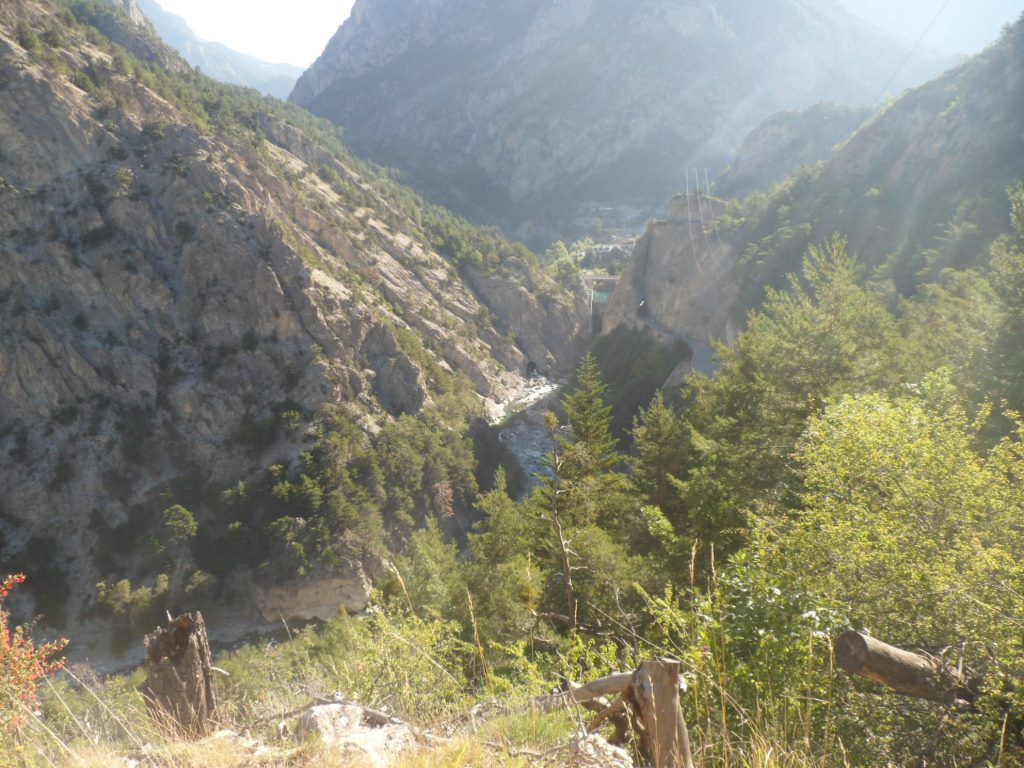
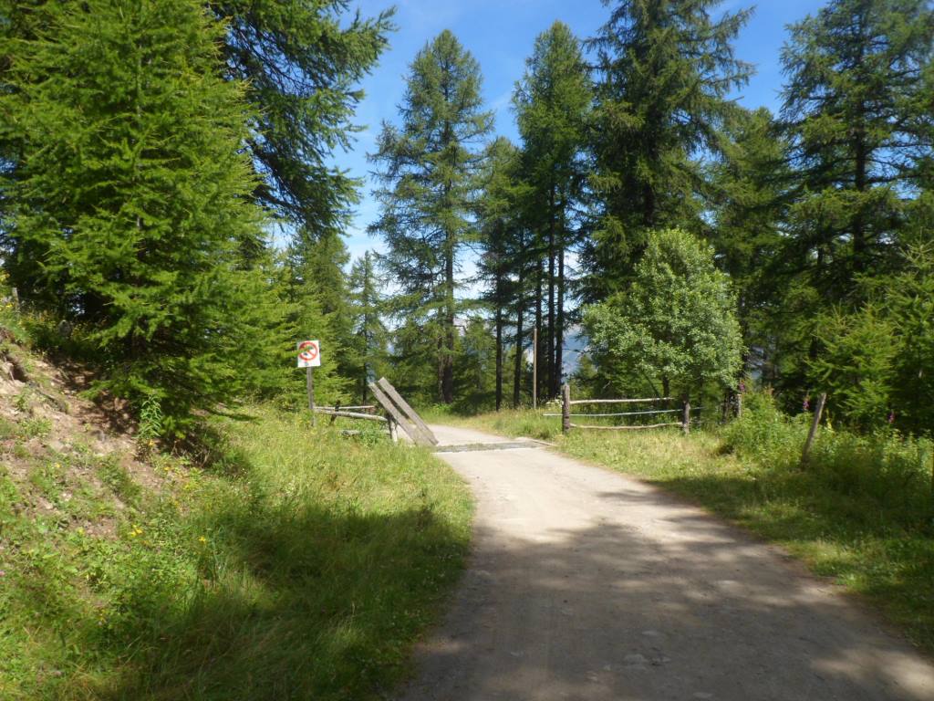
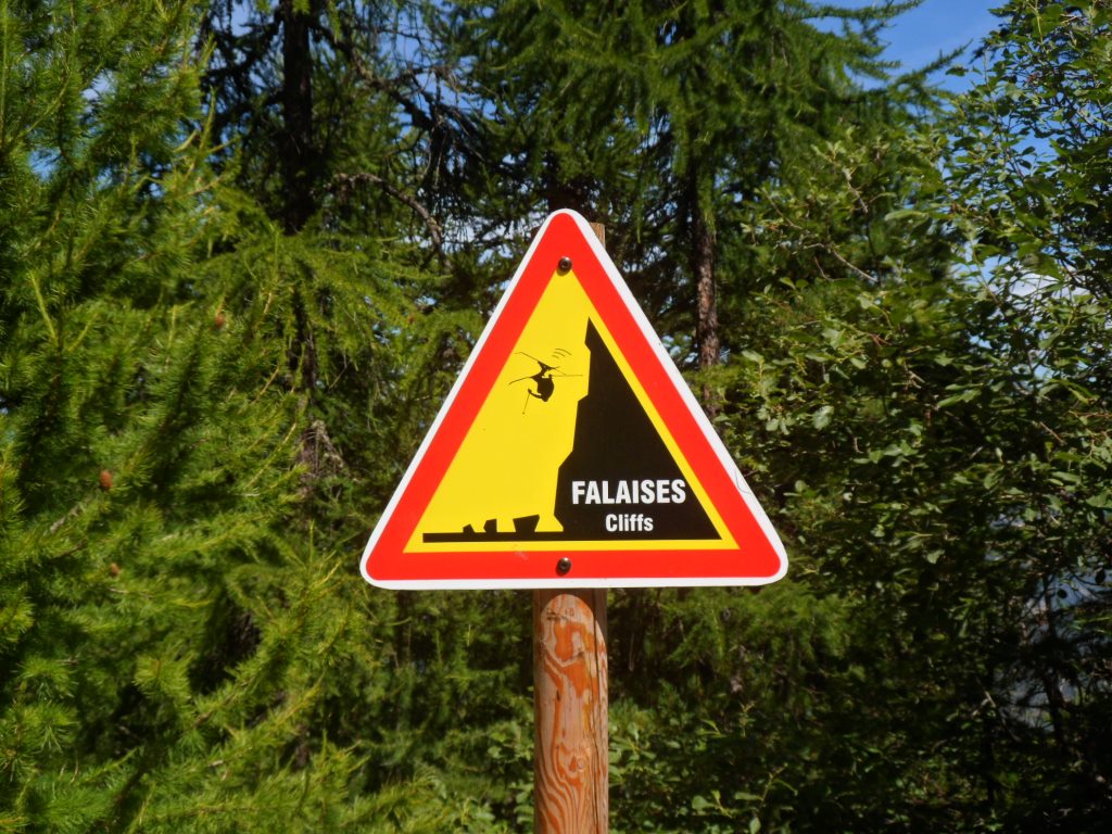
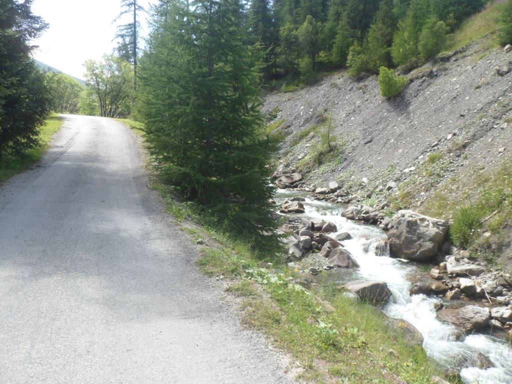
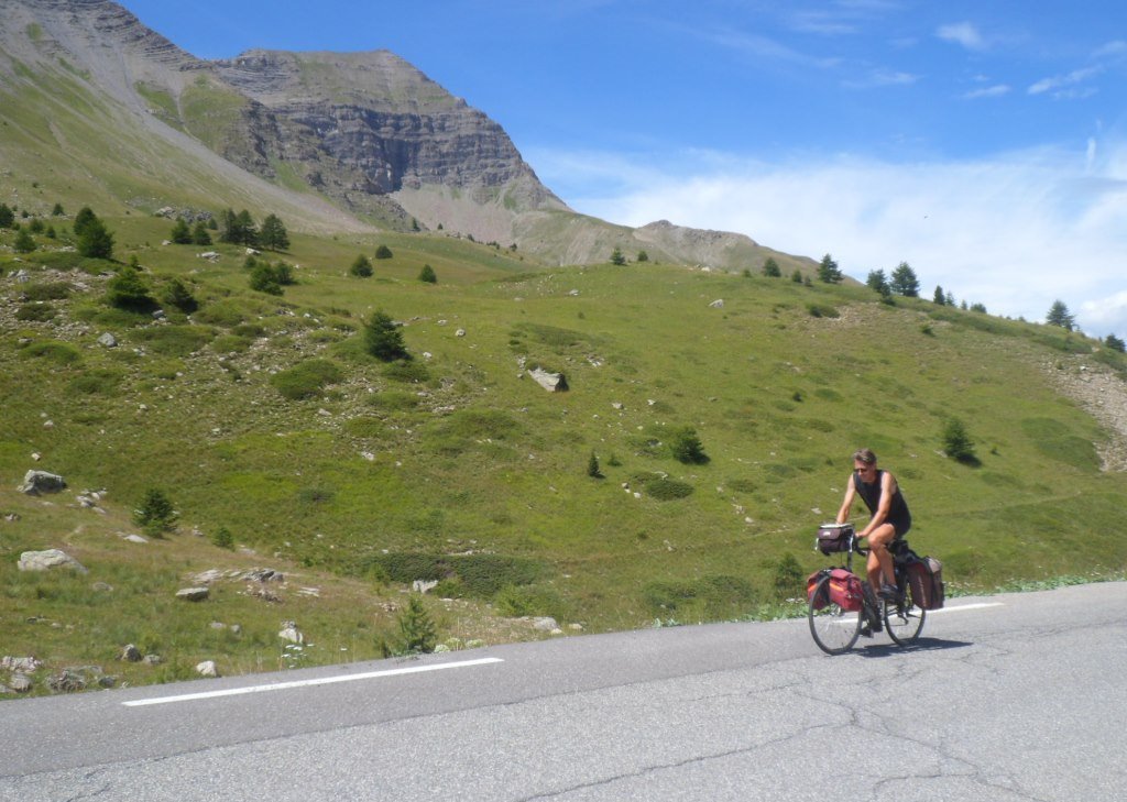
Down in the valley the temperature is more agreeable with the sun already warming up the road half of the time, and I enjoy this well-known gorgeous road through the Combe-de-Queyras. There are already quite some people heading upstream, cyclists and – alas – cars/motor cycles. About 6 km before Guillestre there's a tiny side road to the left, going up steeply and . . . . closed for motor vehicles. First I pass it by, and then I remember having read an enthusiastic review of it, this Route de la Viste, so I turn around and give it a go.
|
The signs counting down to the Izoard
|
|
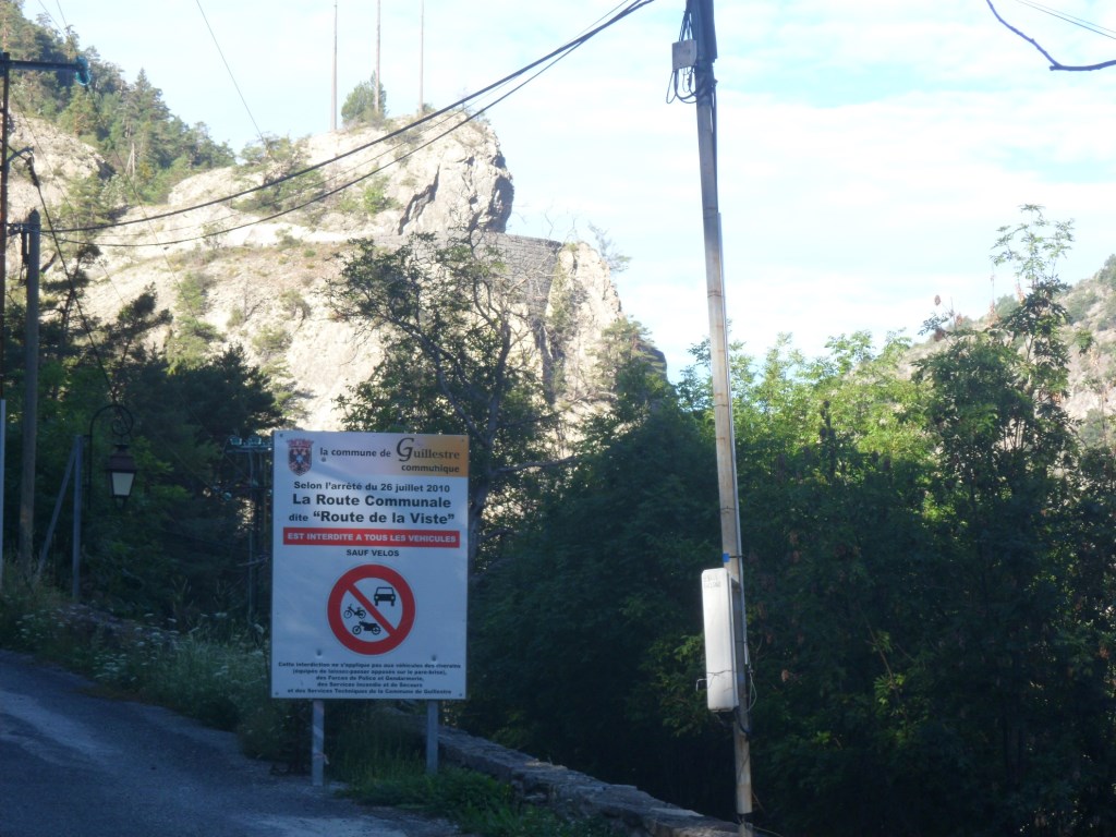
Route de la Viste!
|
|
|
|
|
|
Spectacular road! (left/down corner)
|
|
Guillestre
|
|
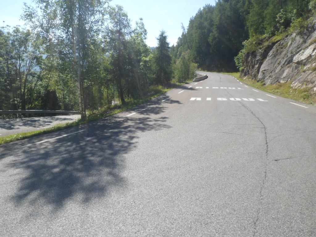
High up: the red bricks of Risoul
|
|
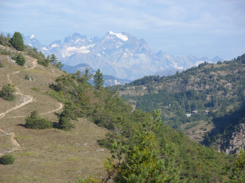
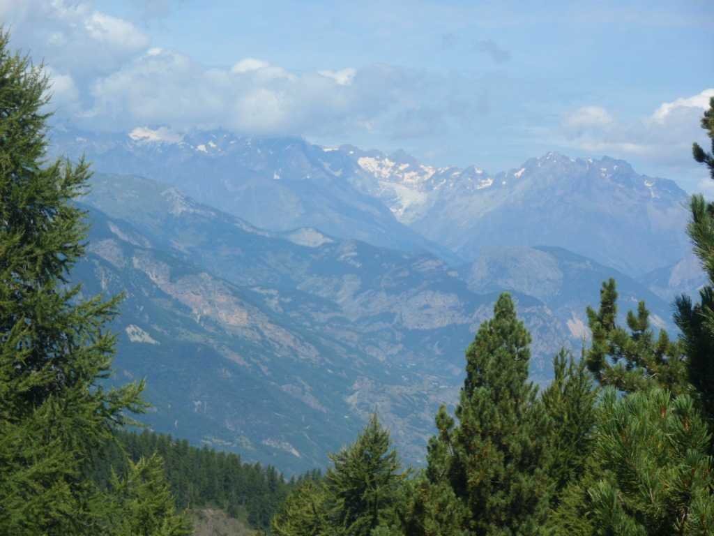
Zoomed in on the whiteness ahead
|
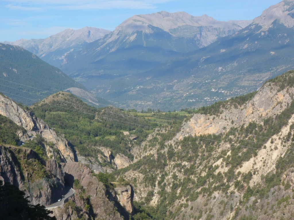
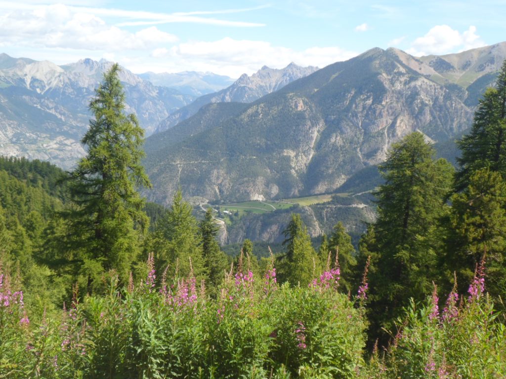
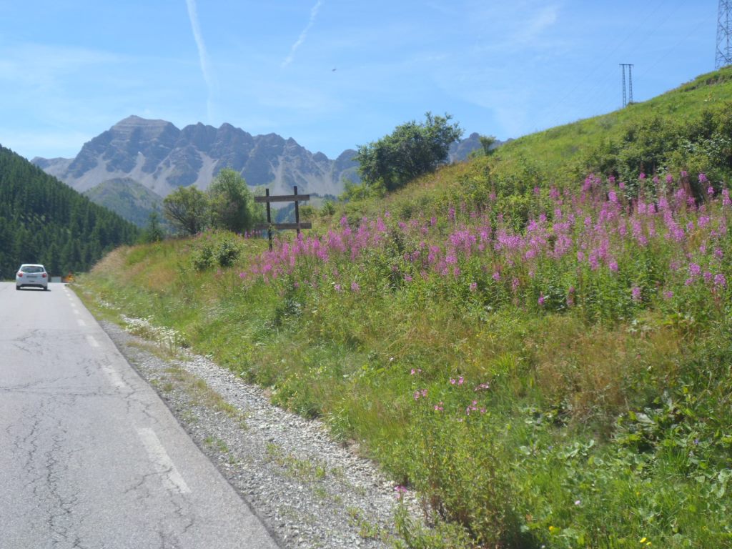
The road goes up some 100 m, is wonderfully quiet, and offers great views, down to the Guil, over Guillestre, and up to Risoul, high on the other side, against a thickly forested mountain side. Eventually it descends to Guillestre – I have forgotten how great the environment of this town is, with mountains all around (or didn't I just notice it before?) I slightly touch upon its outskirts, till I get to the roundabout from where the climb to Risoul starts: from 955 m up to 1875 m in 13 km. The climb is quite predictable, I stay on the same side of one mountain, so apart from its depth the view stays more or less the same all the time. With a grade of a constant 7 per cent, it is quite an effort. In the beginning I sense my right knee, but taking it easier than yesterday on the Izoard, further on it's okay. I don't think I passed anyone this morning, and am a bit annoyed about the ugly smells of passing cars, being more conscious of these after the complaints of the grumpy compatriot on the Izoard yesterday.
|
Proudly presenting itself . . . .
|
|
|
|
Signs on the road . . . .
|
|
. . . . remind one of a passing Tour
|
|
Almost there
|
|
Hardly changing view
|
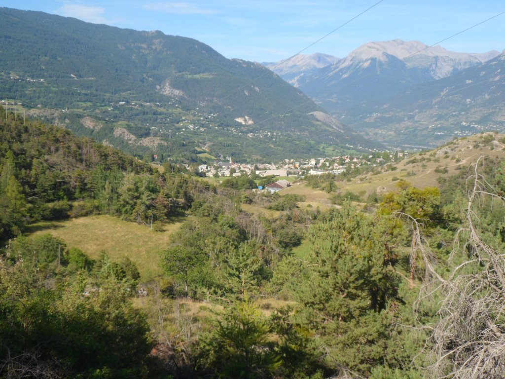
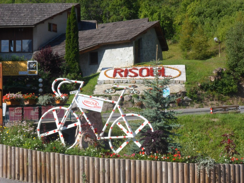
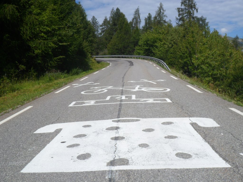
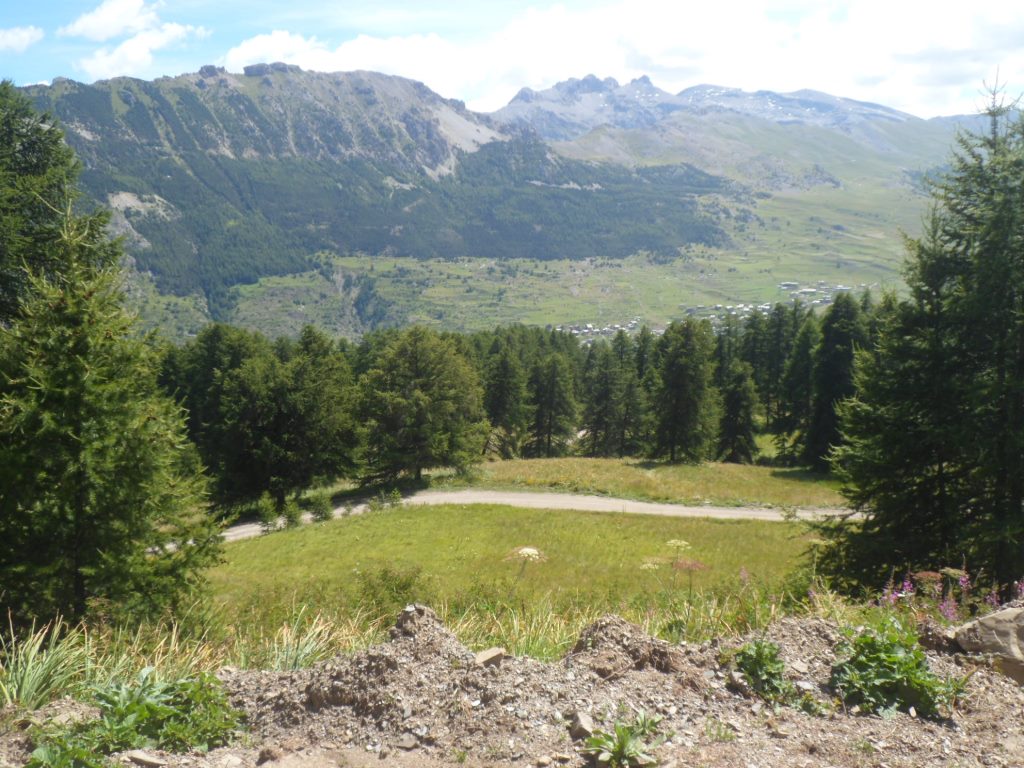
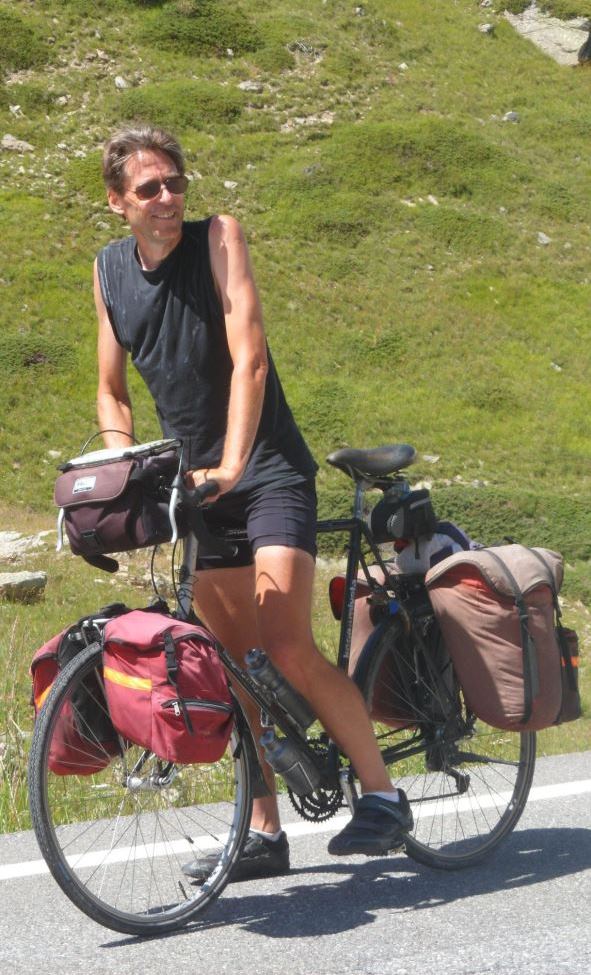
Risoul is quite busy, one can spend one's time there shopping, playing tennis, golf, summer bobsleigh. I refuel myself with coca cola and pastry, on a bench in front of a shoe shop (walking shoes seem to be on sale everywhere). Is it a bench meant for trying on shoes? Anyway, if so, I'm not ushered away. An older cyclist whom I guess passed me during the ride up to Risoul comes to me to say hello and wants to know how much weight I carry. He does't believe me when I tell him I think it's about 30 kg. Later on, from a distance I see him and another man discuss and lift my Koga. I join them and they tell me it must be 35 kg at least. The companion also describes how to get to the (mostly unpaved) route to Sainte-Marie-de-Vars. For this I have to go up another 200 m first, through a region totally ruined by many funiculars and other 'fun' things.
|
Village d'hiver et d'été
|
|
A clean and quiet hour
|
|
Again a grandiose . . . .
|
|
. . . . environment
|
|
Sideview
|
|
Detail of (same) sideview
|
|
|
|
|
|
Oops!
|
|
|
|
'Electrified' doors
|
|
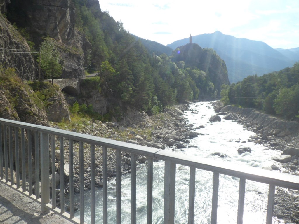
Valley of La Chagne
|
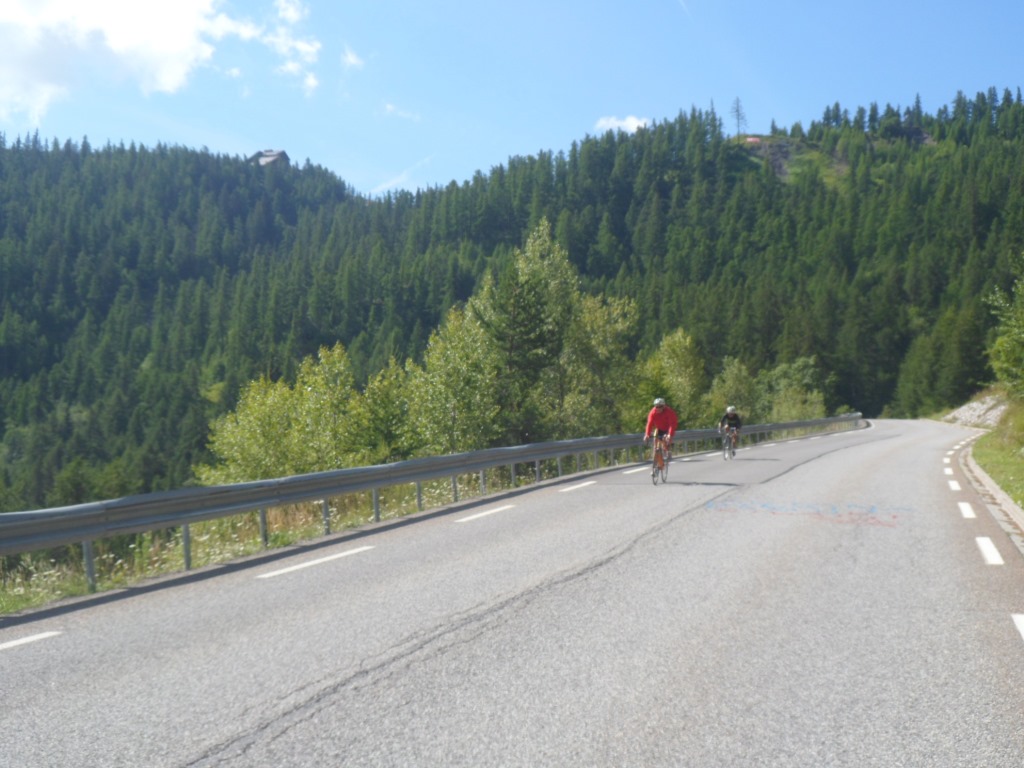
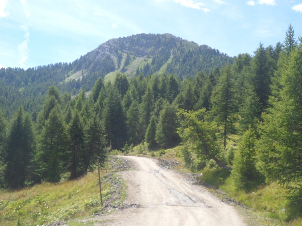
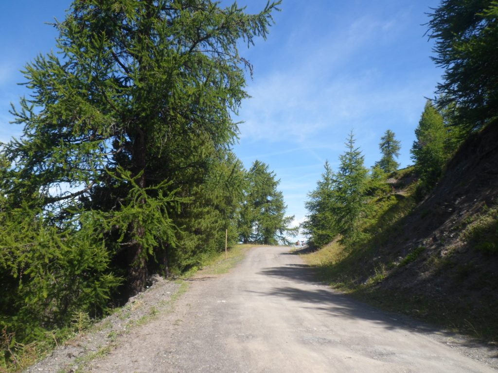
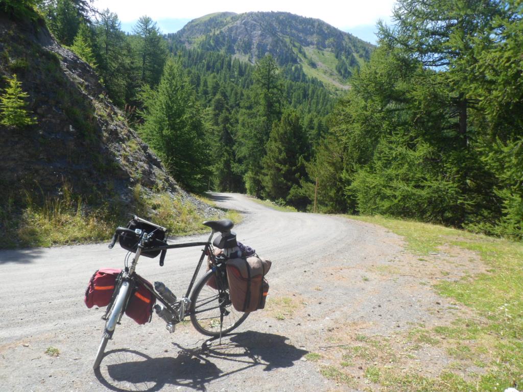
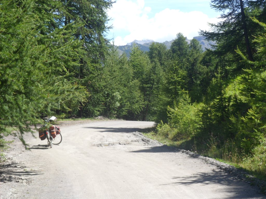
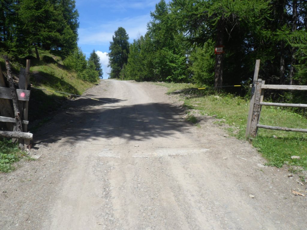
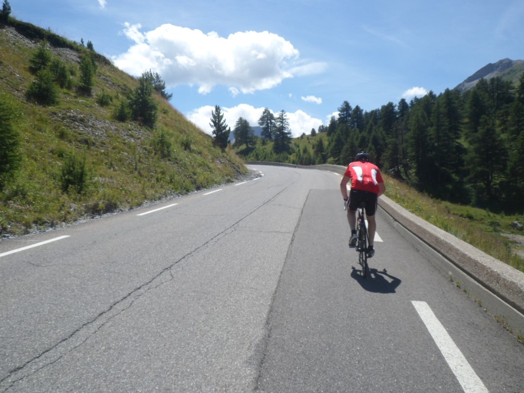
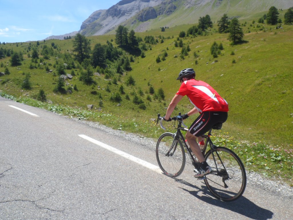
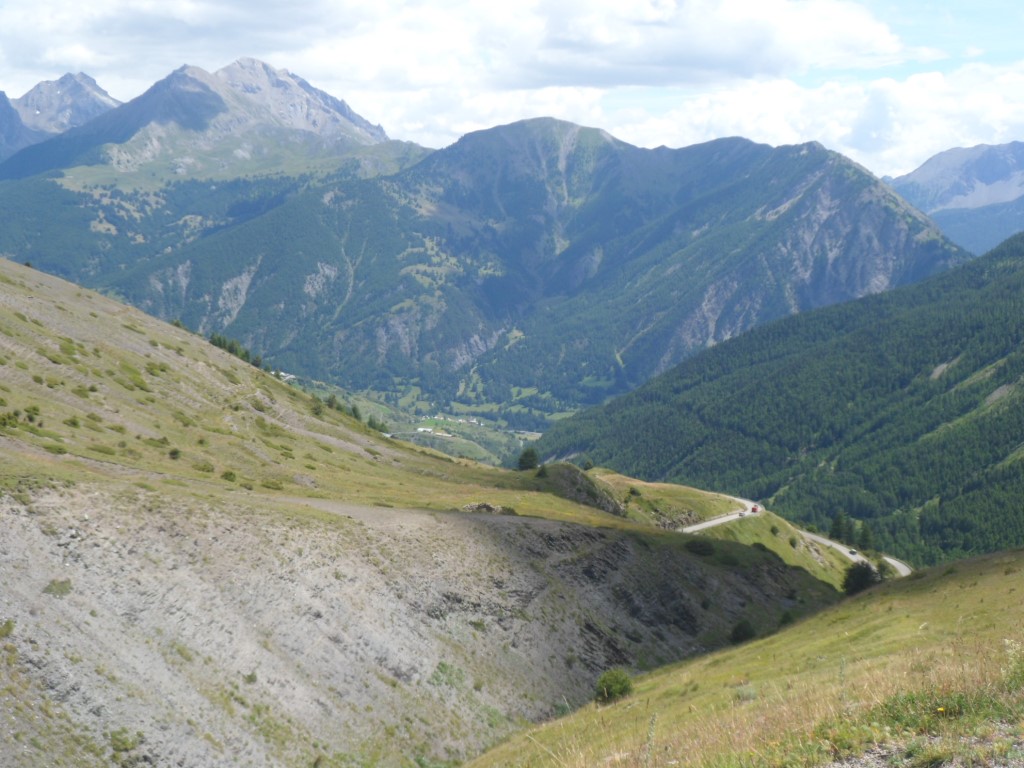
After 5 km I'm out of their reach and it becomes the best part of the day over a wide, well rideable walking path/route forestière. The only people I meet are walkers indeed, and some of them seem quite surprised to meet a representative of my species. The descent is no fun: the first 3 km are still unpaved, and the rest is also of dubious quality and steep and curvy. I cross the river Chagne, and follow it from nearby, thus avoiding a few km of the 'official' road to the Col de Vars. In Sainte-Marie I get onto the D902 and am faced with quite a strong wind (from the south). In Claus I manage to get into the slipstream of a Swiss cyclist and stay there. At first the man looks annoyed – tries to get rid of me, but in his lee I have a considerable advantage, and I'm glad with the help, so I force myself to stay in his slipstream. After a while he gives up – and later on we ride up companionably shoulder by shoulder chatting along a bit. His wife is waiting for him on the top, so at the end I let him go ahead, to not 'humiliate' him.
|
La Chagne
|
|
The main route to the Col de Vars
|
|
My companion
|
|
from Switzerland
|
|
Photographed by Swiss lady
|
|
twice
|
|
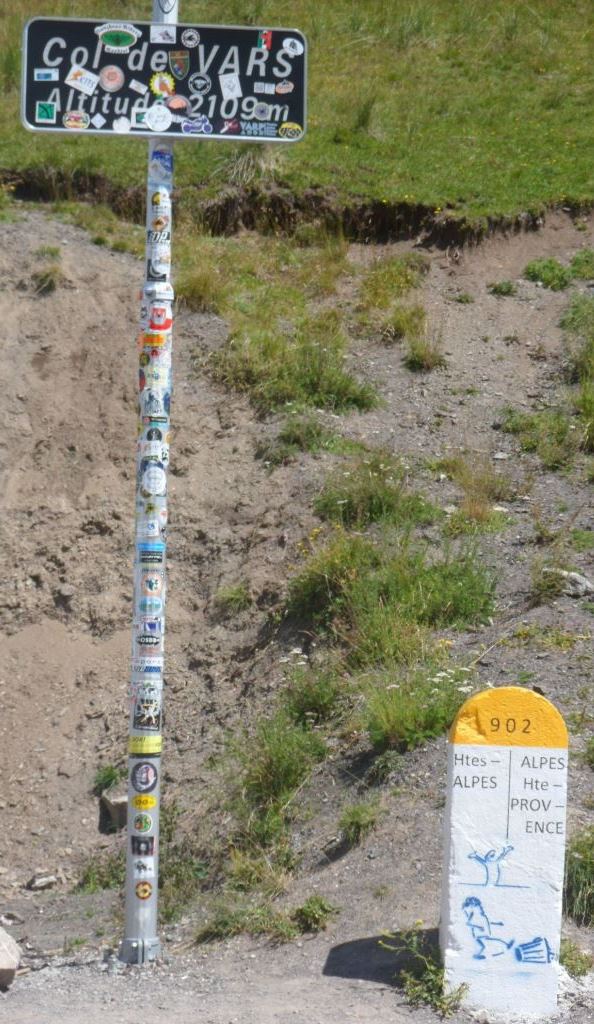
Stickered pass
|
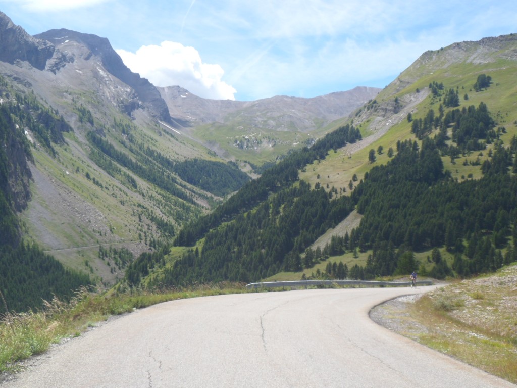
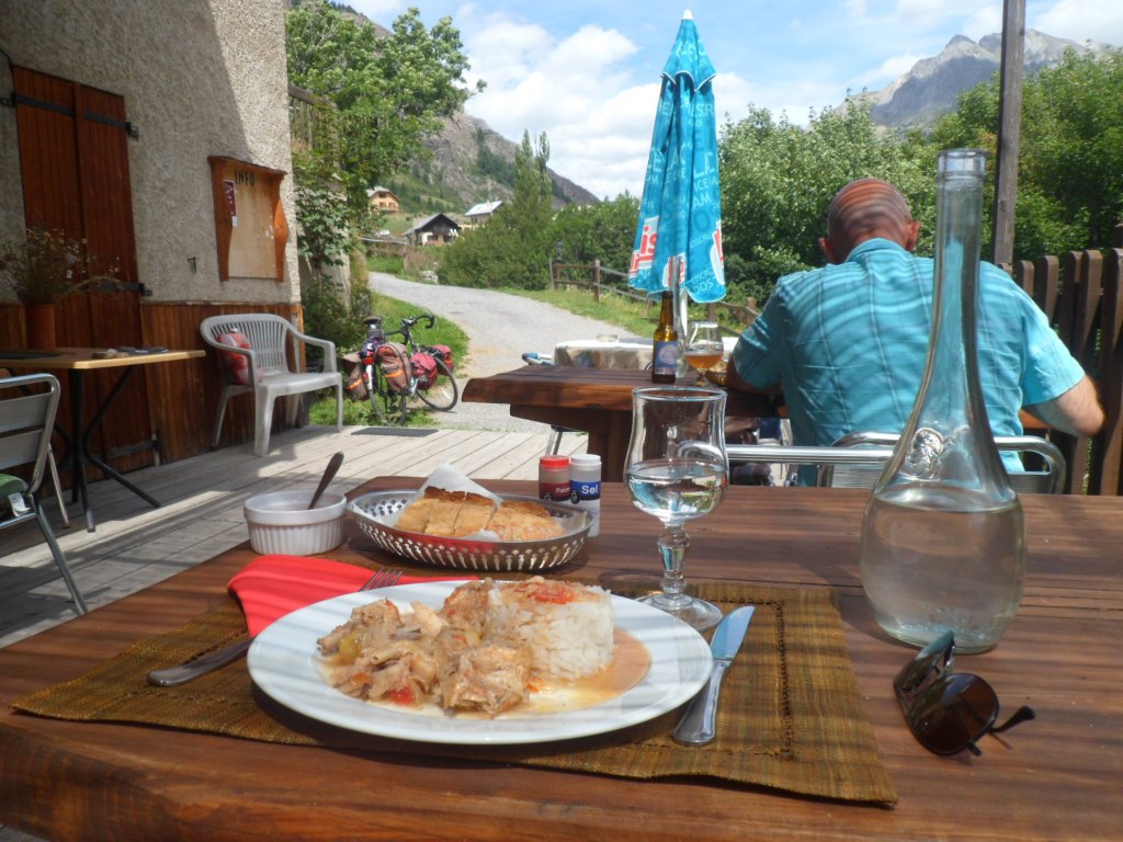
It appears there's quite a bunch of Swiss people at the top, but I'm not in need of a break yet (and I hope to reach Saint-Paul-sur-Ubaye in time for a plat du jour), so a short photo stop, that's it. I tell them the descent from the Col de Vars to Saint-Paul is one for speed records, and indeed I increase my top speed to 70.7 km/h, a speed I will not surpass anymore. A short but great descent! At the end of Saint-Paul I find a nice small restaurant "l'Ubaia", indeed on the banks of the Ubaye, and the (spicy) plat du jour can still be ordered. Afterwards a coffee and a chat with an attractive Laurane that arrives on a mountain bike. She is looking for a cycling companion! Pity Embrun – Nootdorp is quite a distance . . . .
|
A short . . . .
|
|
. . . . but great descent
|
|
From the same location, twice:
|
|
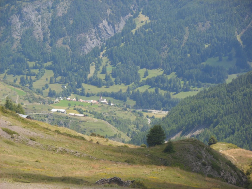
Saint-Paul-de-Vars
|
|
View down
|
|
Last view up
|
|
I take my time (and a meal) . . . .
|
|
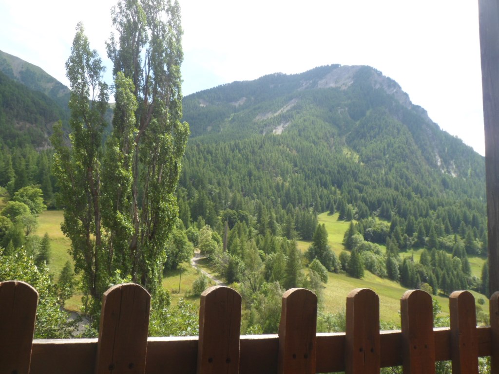
. . . . on the bank of the Ubaye . . . .
|
|
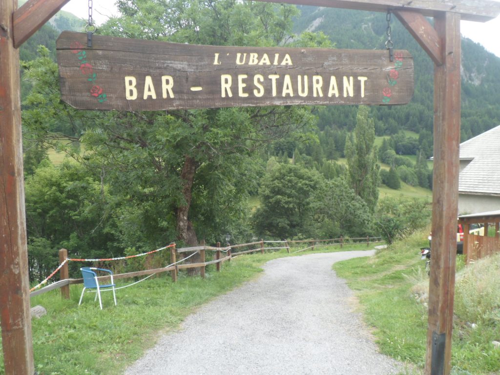
. . . . in restaurant l'Ubaia
|
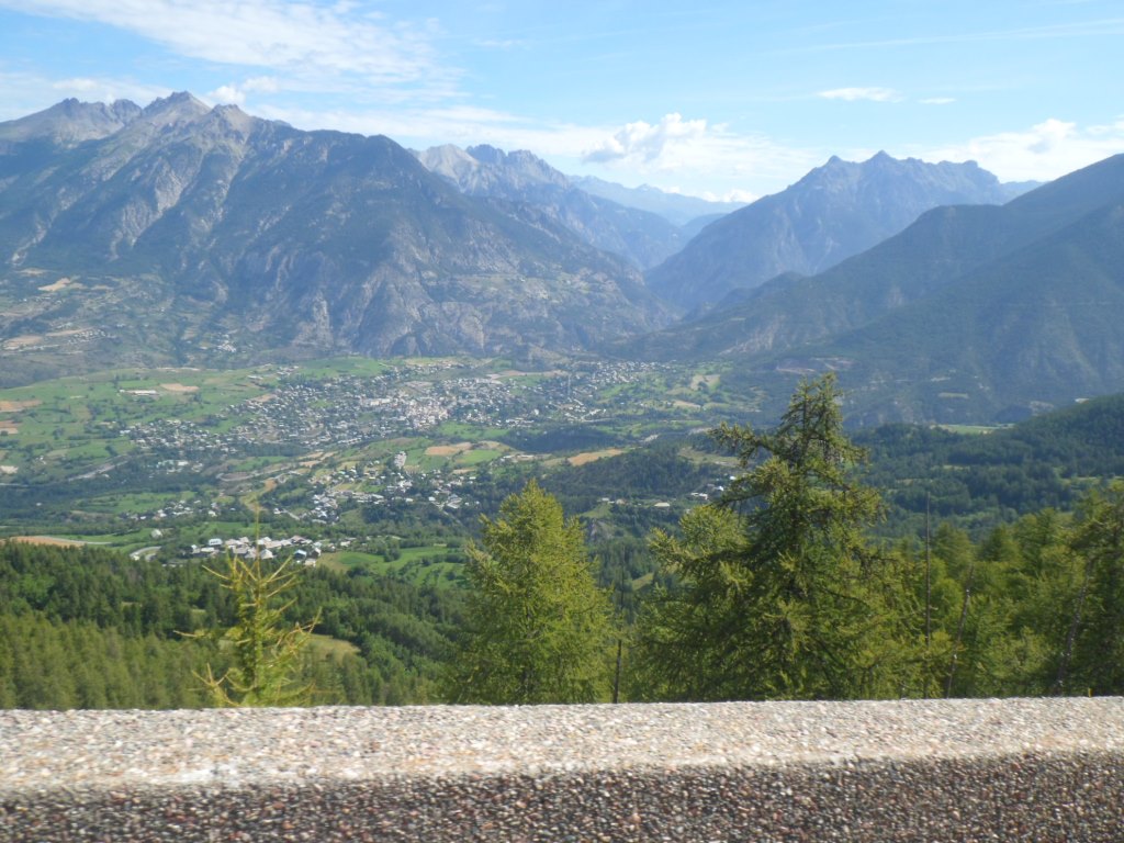
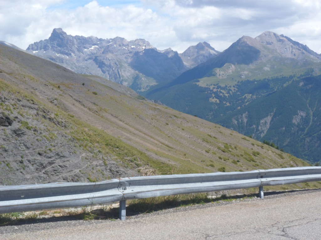
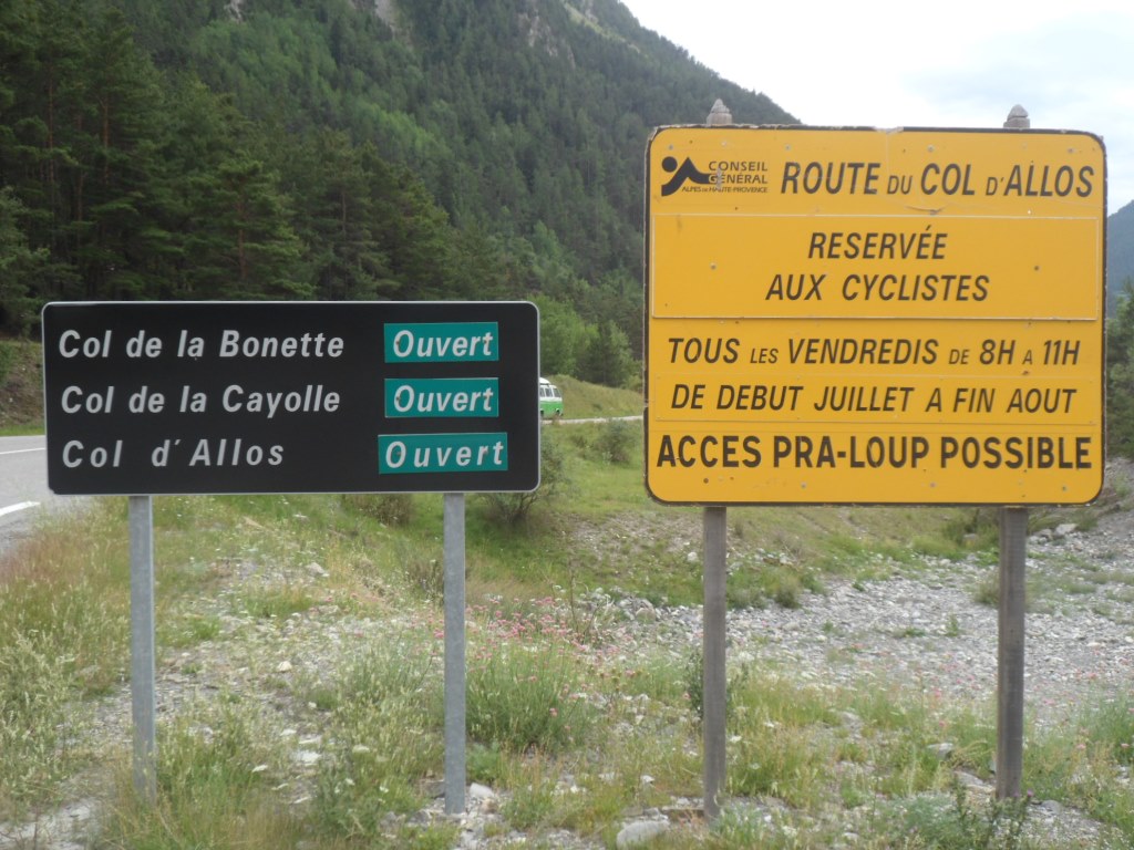
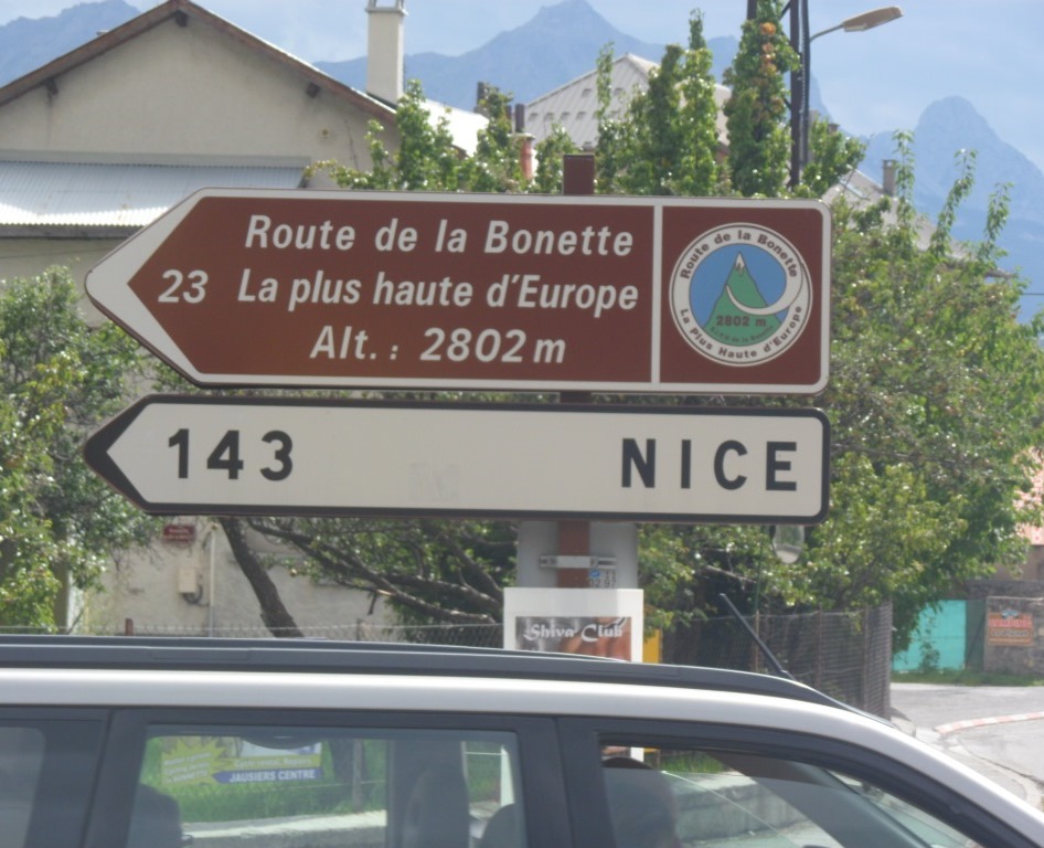
The first 7 km from Saint-Paul are still noticeably downhill, through the Gorges de l'Ubaye, alas against the wind. After the junction with the road to Cuneo (reminding me of the road to Montgenèvre/Torino), the road flattens further, and becomes considerably busier, and I fight my way till Jausiers. A piece of GREAT news: on Friday mornings the Col d'Allos is closed for motor vehicles, and tomorrow/Friday that pass is on my programme! I pass the junction with the road to the Col de la Bonette/Nice (143 km!), and see dark clouds approaching from the west!
|
Great news . . . .
|
|
Great environment . . . .
|
|
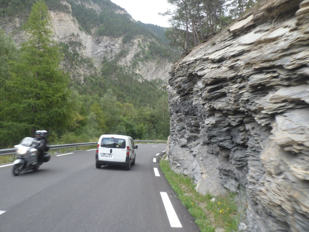
. . . . to be shared with a lot of traffic
|
|

|
|
"Almost" "there"
|
|
Oops! Thunderstorms along the Ubaye? (Again?!)
|
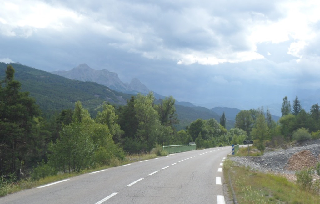
Six years ago it rained SO hard when I went to Méolans that I had to stop to take shelter (and a pizza) in a restaurant, today the thunderstorms blow over, a few drops of rain in Barcelonnette, but the wind keeps blowing hard in my face, and the road (which has become N94 by now) is extremely busy this afternoon. From Barcelonette I can avoid this shitty road for 8 km, but the last 20 kms mainly consist of pushing the pedals as hard as I can.
|
Ubaye valley seen from the south bank
|
|
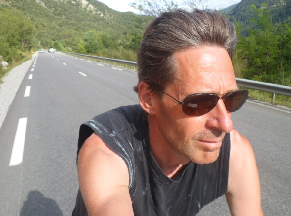
Bronzed guy on the north bank
|
|
L' Ubaye + Méolans
|
I arrive at "Les Terres Blanches" around 17:30. The propriétaire is still enthusiastic/restless Dominique – every time I ask for some smal favour (like: a beer, a hand to put my bike in the chalet) there are at least three other tasks he has to do first. Time for a beer, a shower, a little laundry, a few pages of my book. At the dinner table I'm placed between four French hikers on my right (not really trying to make conversation) and four Italians on my left (two couples of motorcyclists, the pretty female half of one of which is interested in 'foreigners' and speaks French very well).
|
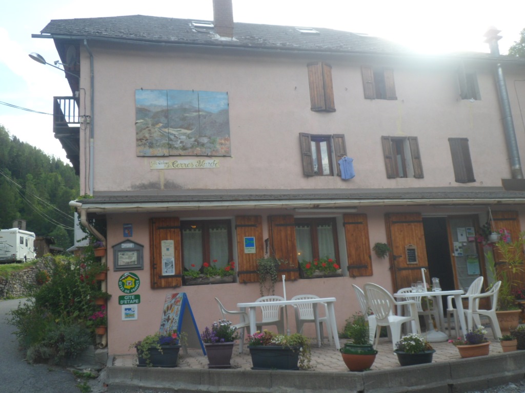
Gîte d'étape "Les Terres Blanches"
|
→
Next day
←
Back to overview
|
|