|
09-08-2014 Méolans – Saint-Sauveur-sur-Tinée 102 km
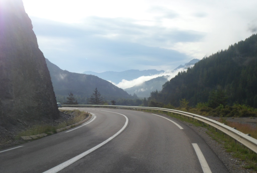
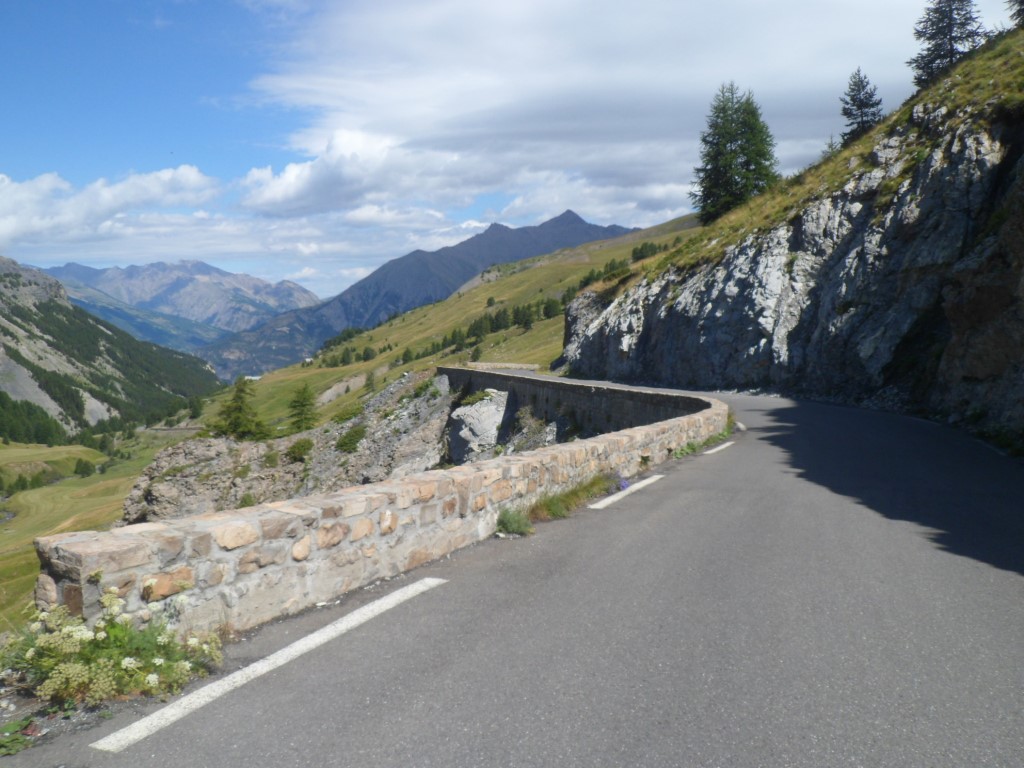
At breakfast I start alone, after a while a French couple takes place beside me, but their conversation consists of whispering. Later on other people arrive, amongst whom a Frenchman who is obviously in need of exposure: he profiles himself as a marmalade expert: "oh, then this must be elderberry" (or whatever), with a thoughtful expression on his face. At eight-thirty I'm on my way, again this slightly annoying road to Barcelonette (too much traffic and an unfavorable wind). I skip the detour over the southern bank, but in Barcelonette note a small road, over a digue on the other side of the river – alas it's only for 4 km or so. In Jausiers' main street
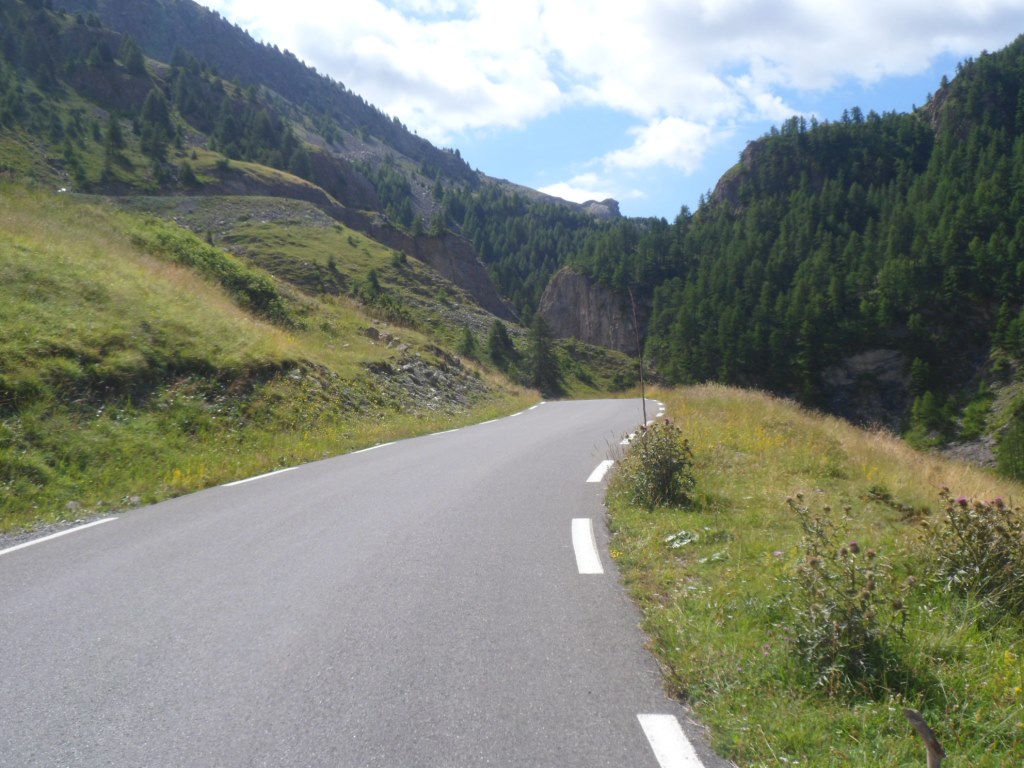
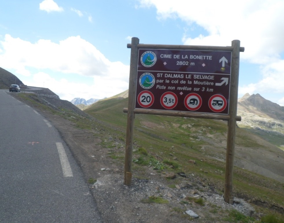
I spot two travellers 'of my kind', an English couple that is leaving for the Bonette. We have a short talk, and then they set off on this high expedition, whereas I will have a coffee first. With 'only' the Bonette – or maybe 'only' the Col de la Moutière, which I recommend to the English that have already visited the Bonette more than once – and not the Col de Saint-Martin too (as planned originally), this stage is a good after-training for yesterday's programme. With 'all the time in the world' I turn right for 23 km of work/fun.
|
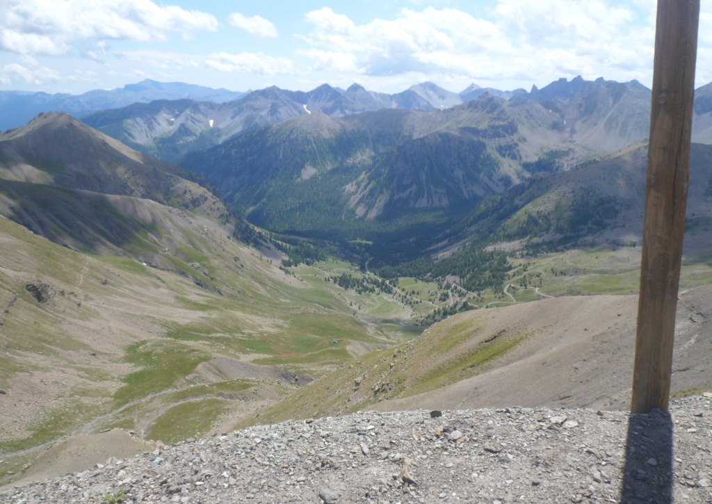
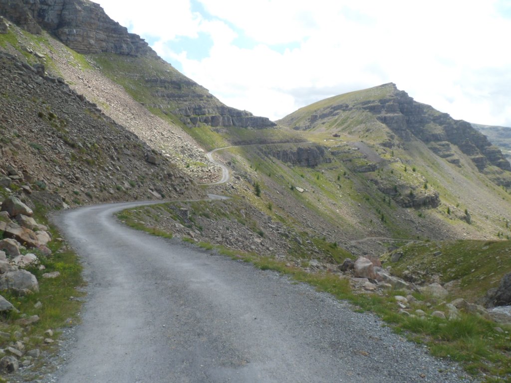
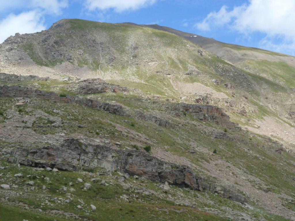
At the beginning of the day it's not too clear
|
|
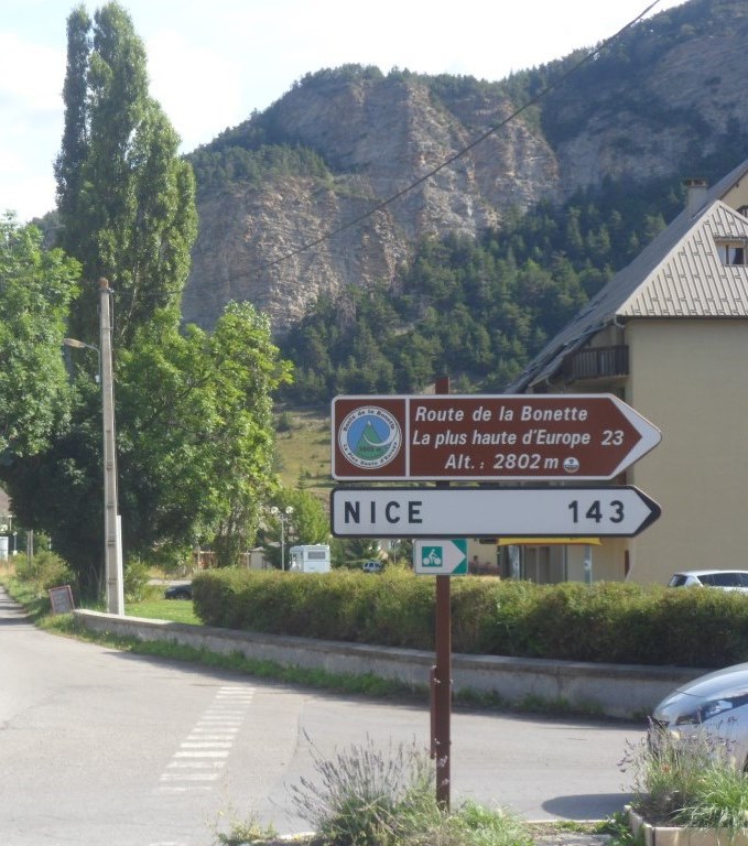
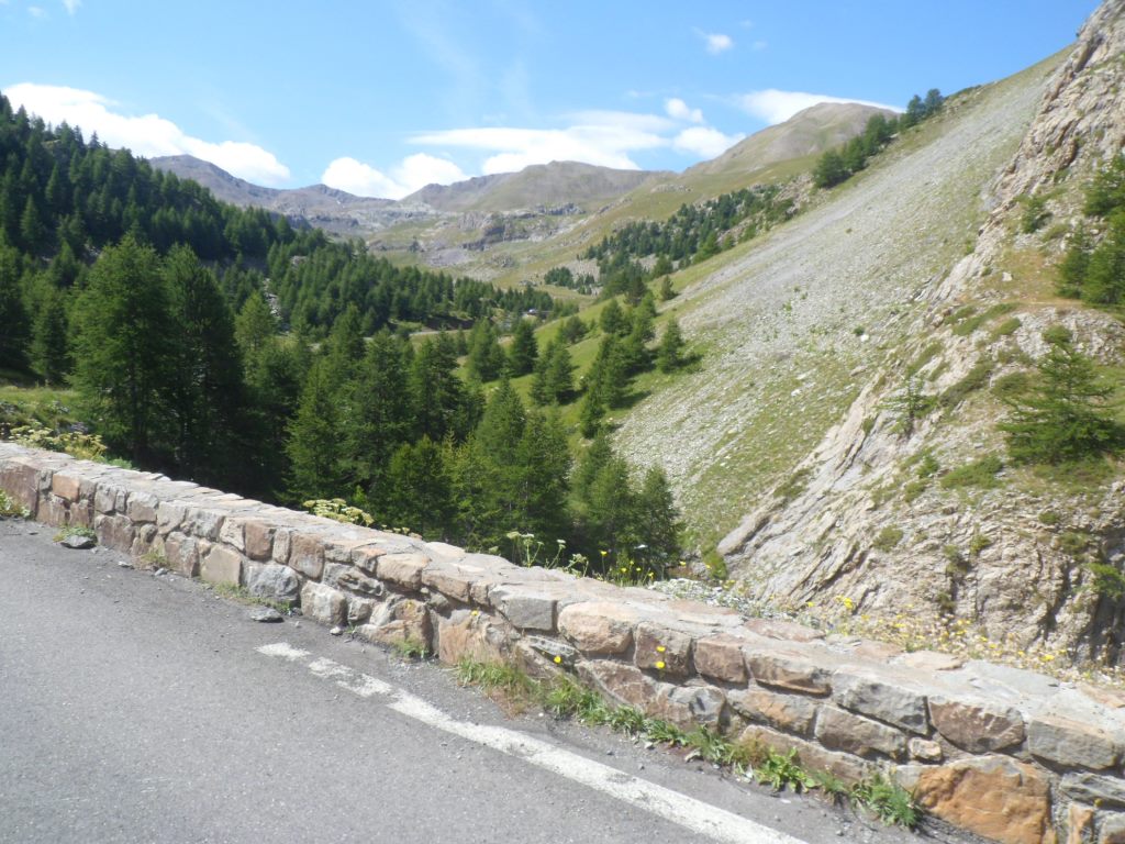
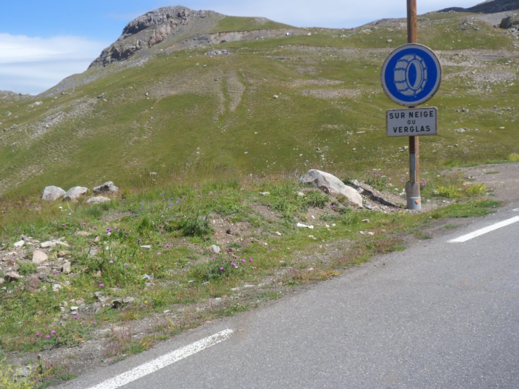
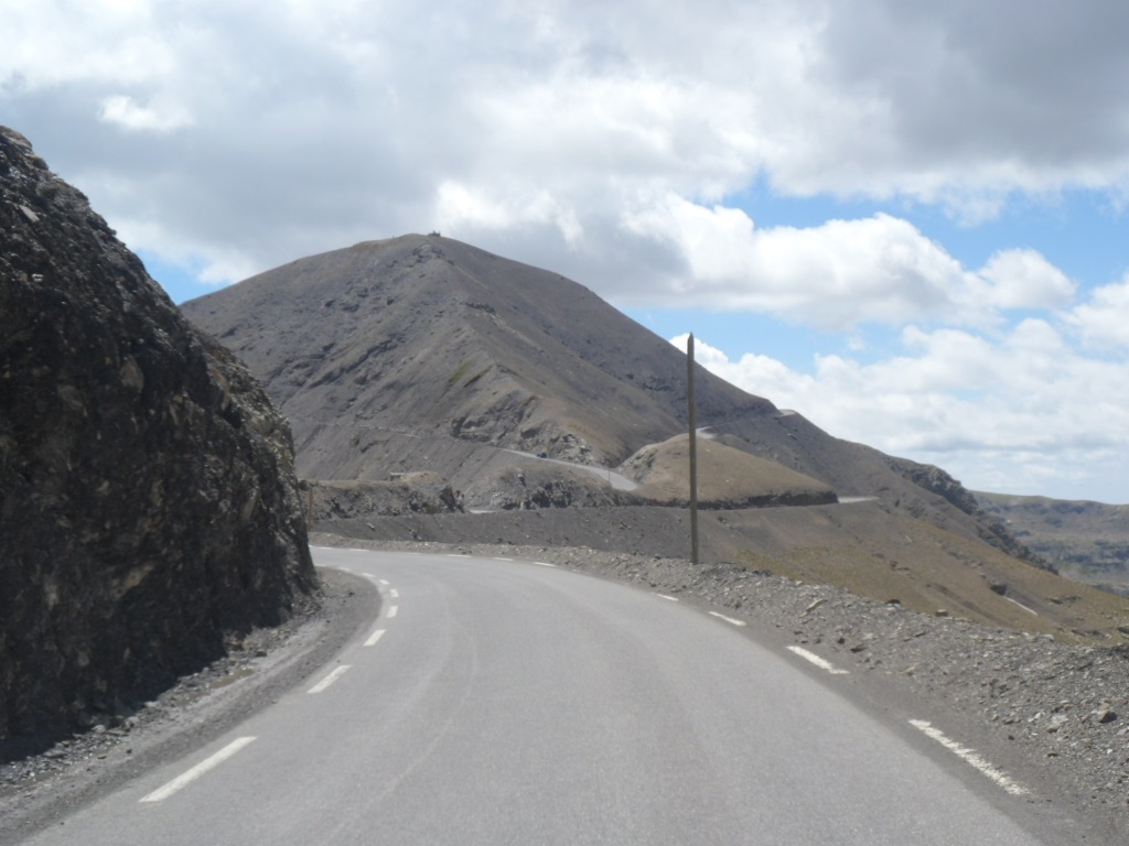
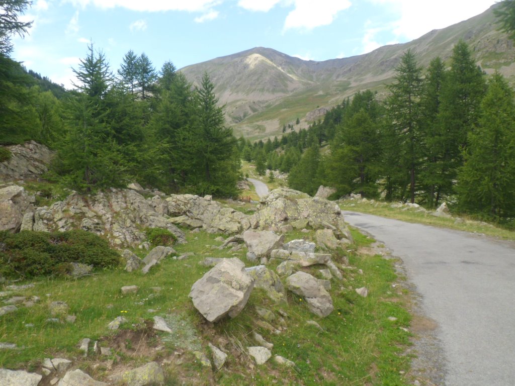
Turn right for 23 km of fun!
|
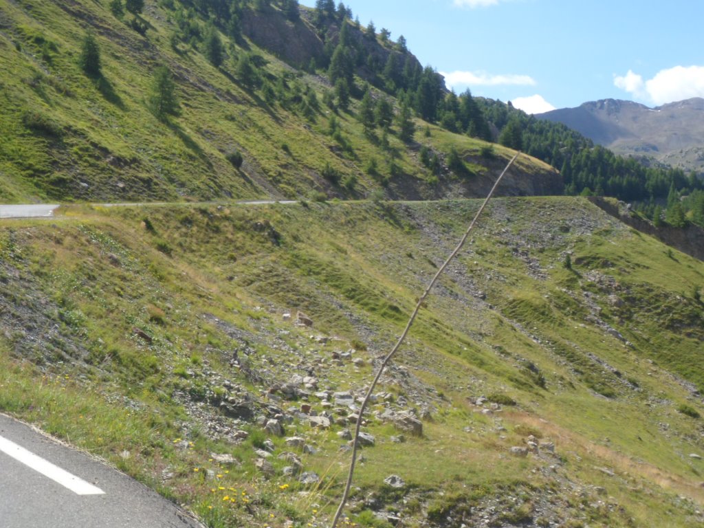
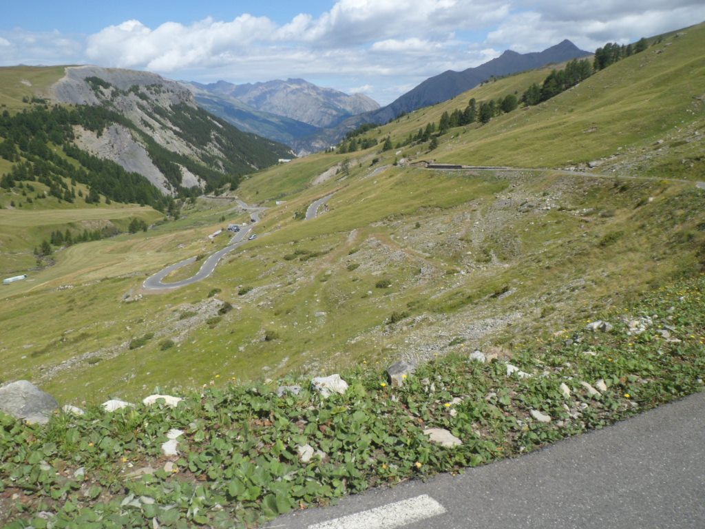
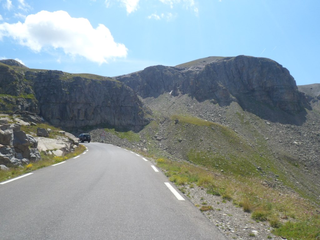
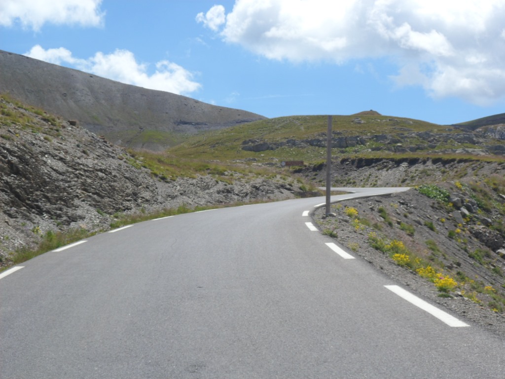
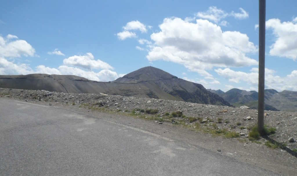
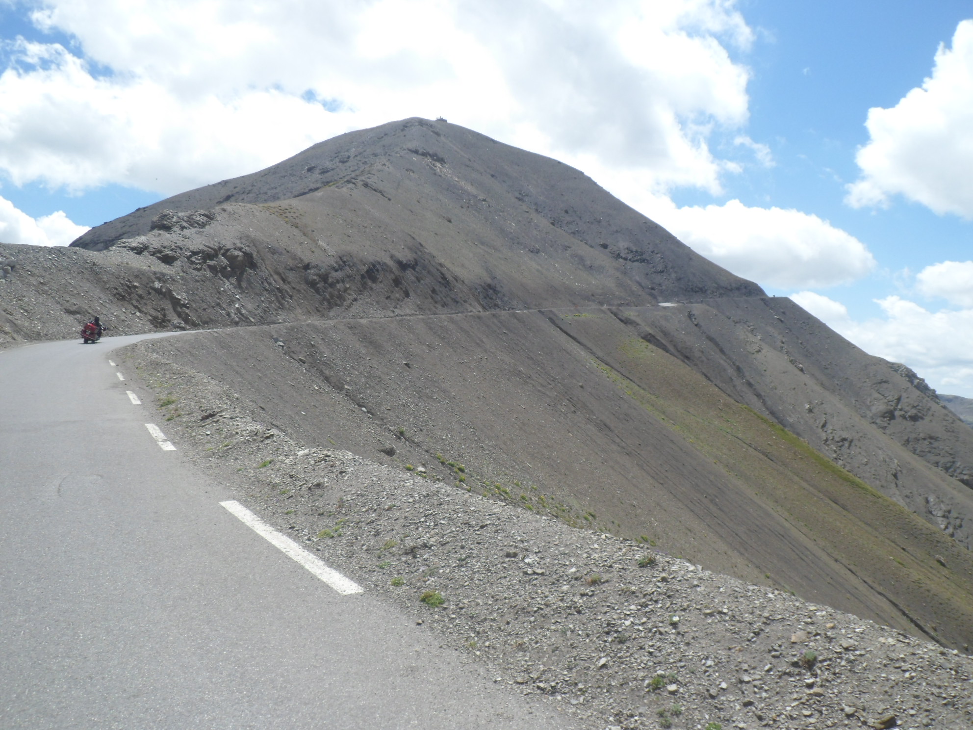
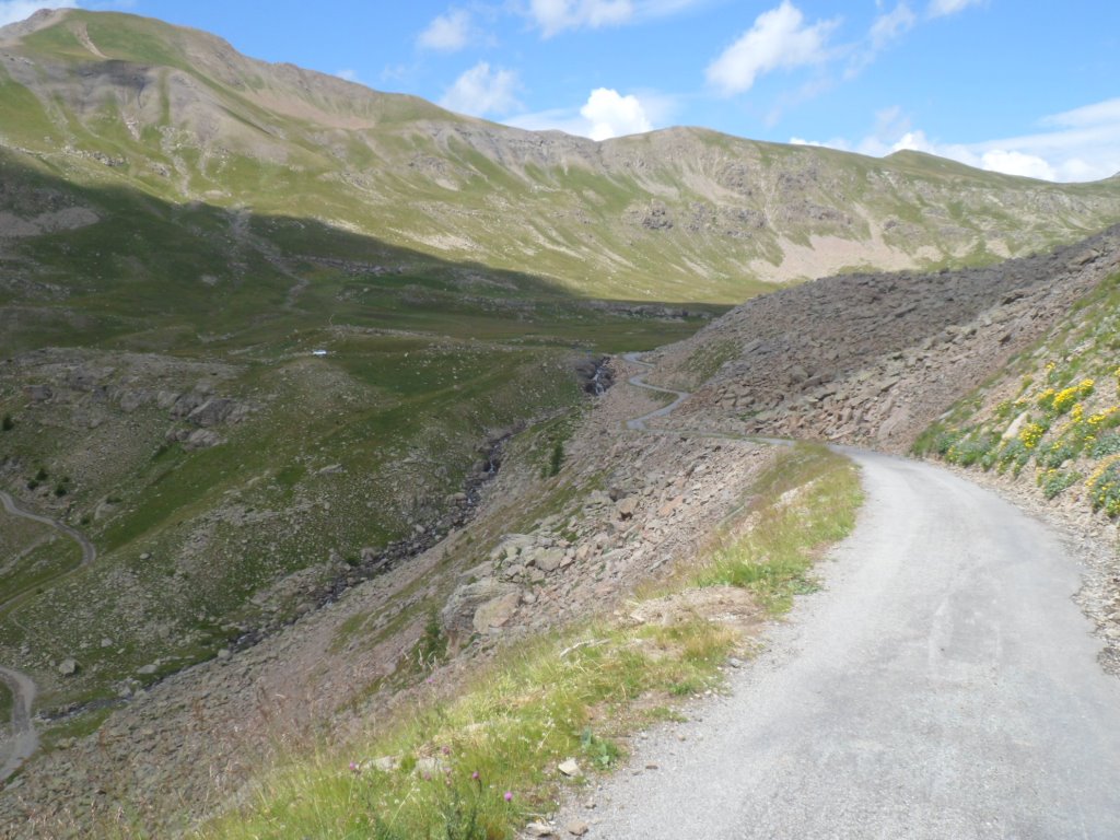
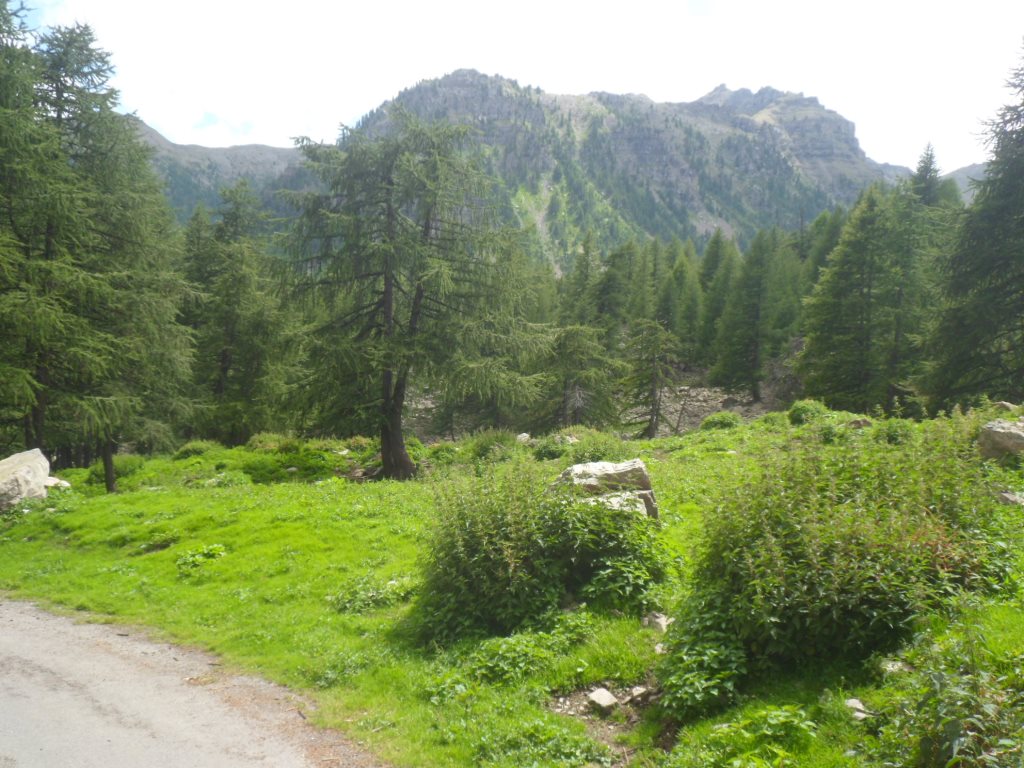
The weather is perfect: faraway there are clouds, but I ride in the sun most of the time. The scenery is gorgeous – which is no surprise – the road goes through an open valley most of the time, so the views are great. And the gradient is quite reasonable all the time. Beforehand I thought I would take a break around two thirds, but as in this phase I'm having a good rhythm I extend the first part a little further, including the steepest two km (9%?), apart from the last 300 m around the Cime de la Bonette. After almost two hours of cycling up I have a rest with a large noix-miel cookie, a half litre of coca cola and a great view. I'm a little disappointed in the number of sporty types that pass me during this short break.
|
Wonderful climb to Col de la Bonette
|
|
First I get out . . . .
|
|
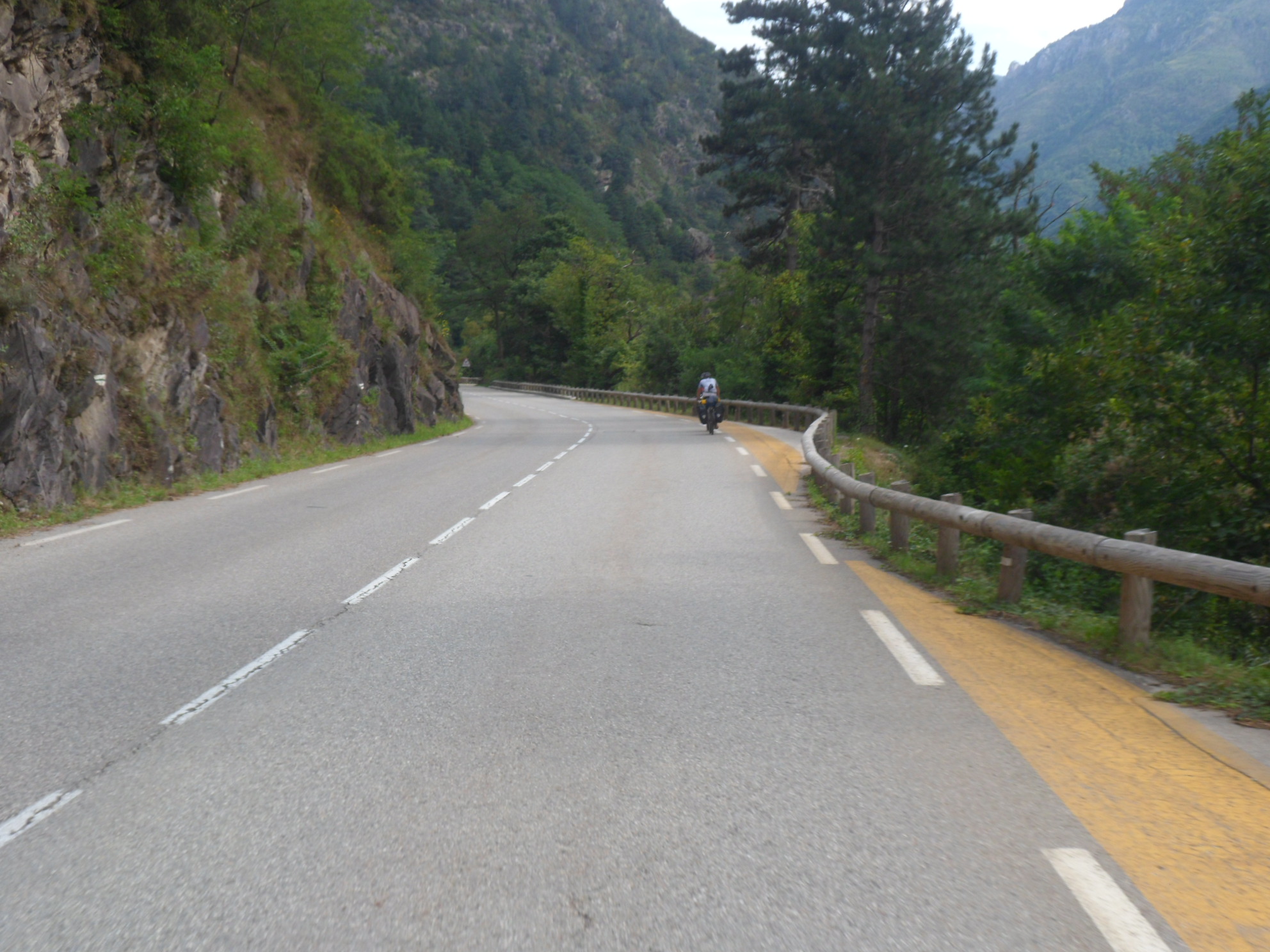
. . . . of the valley of the Ubaye
|
|
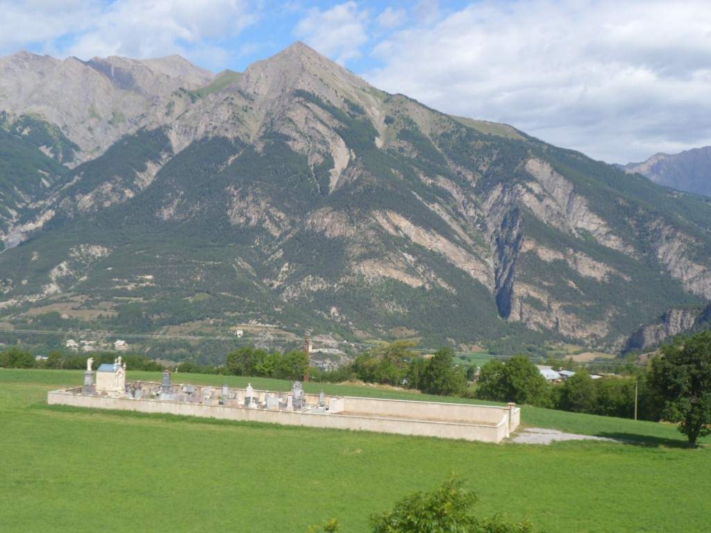
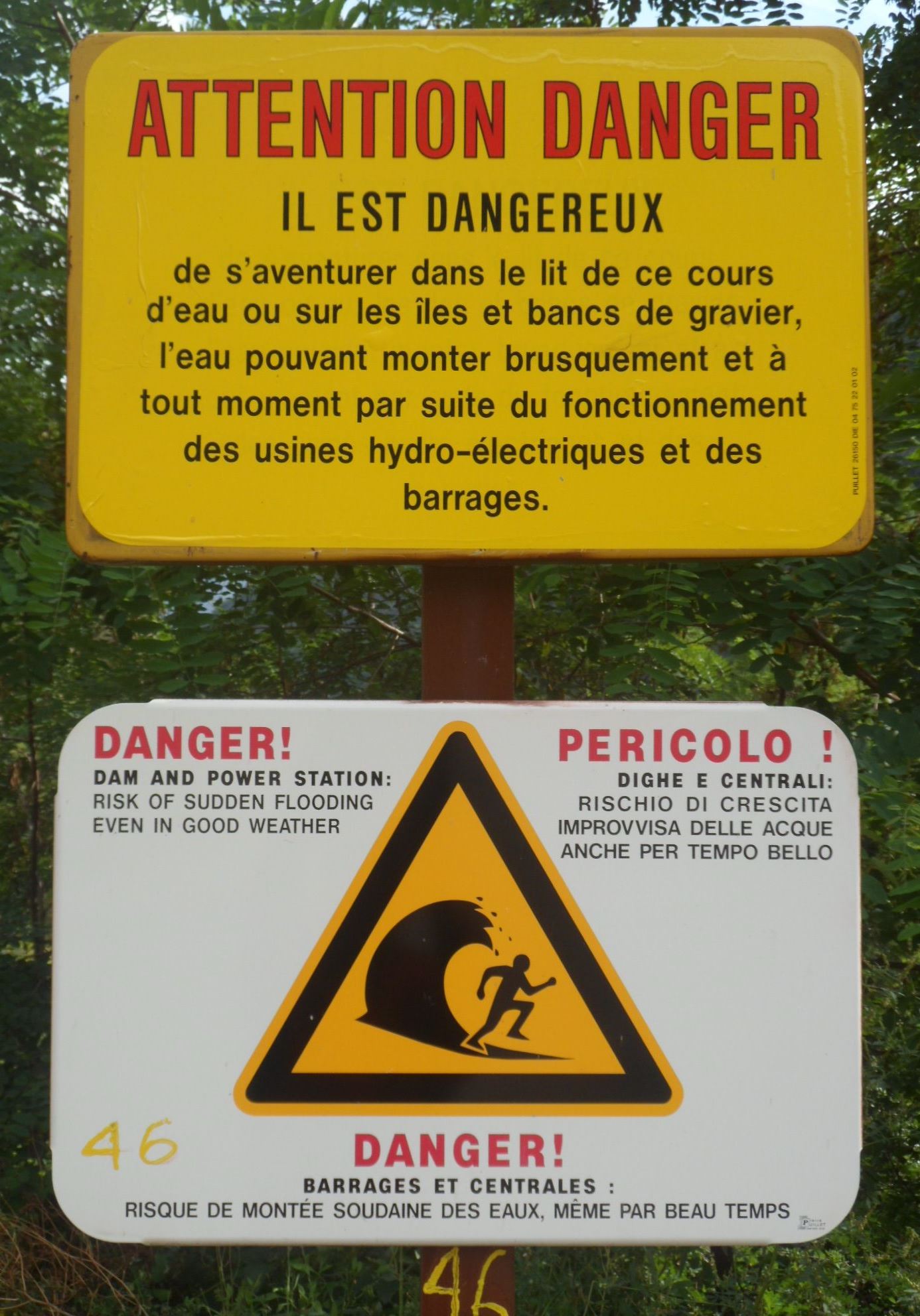
Last sign of "living"
|
|
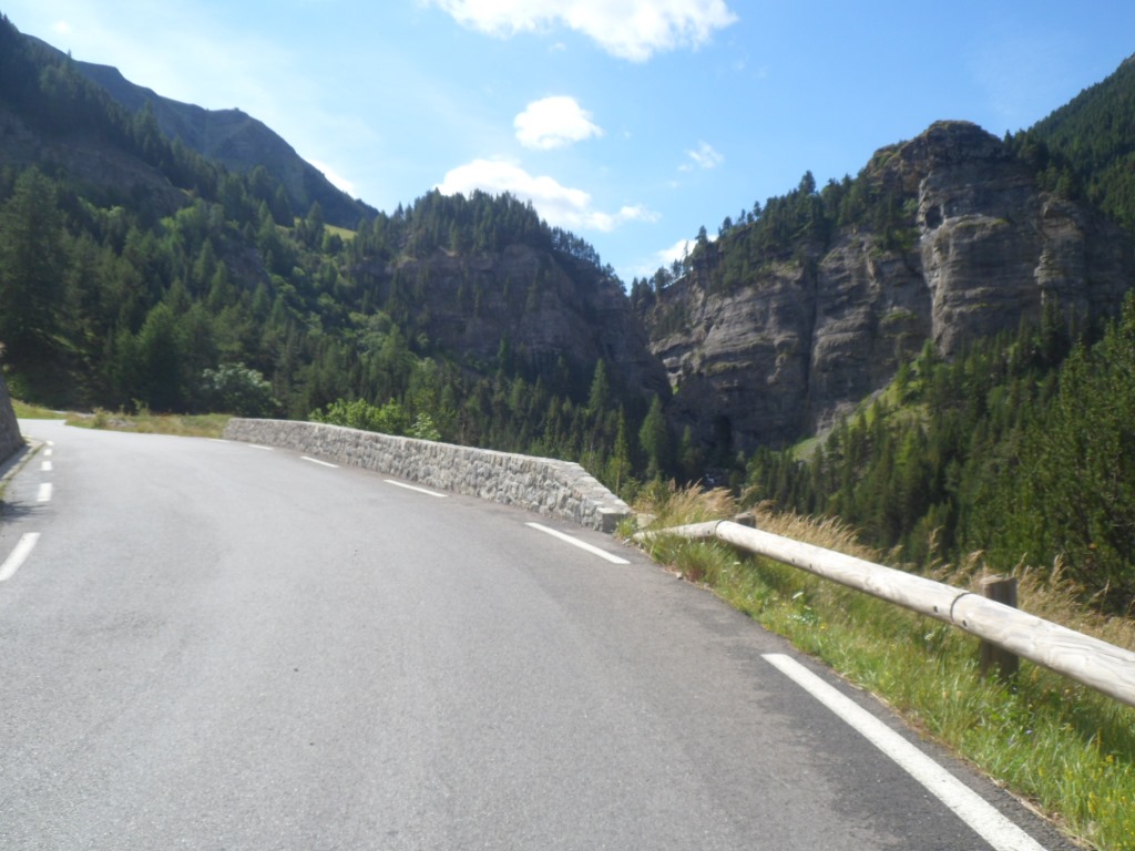
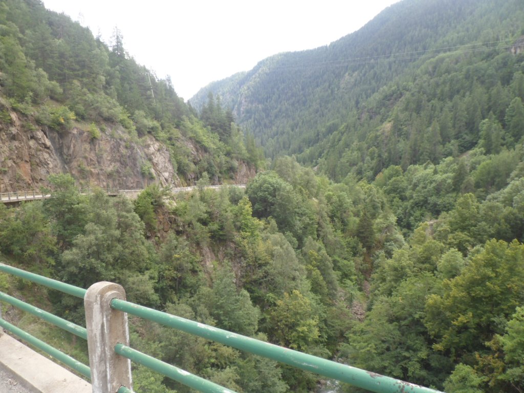
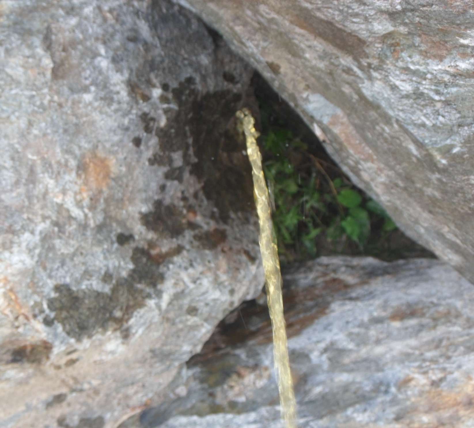
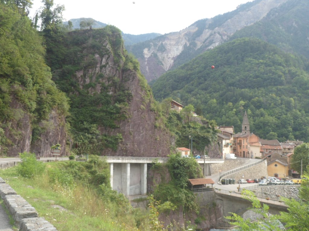
Small gorge
|
|
|
|
|
|
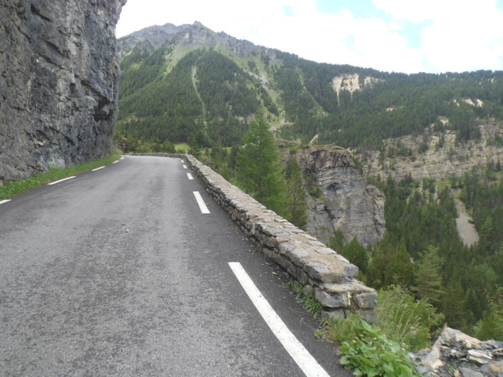
Gaining height . . . .
|
|
. . . . all the time
|
|
So something to look back to
|
|
|
|
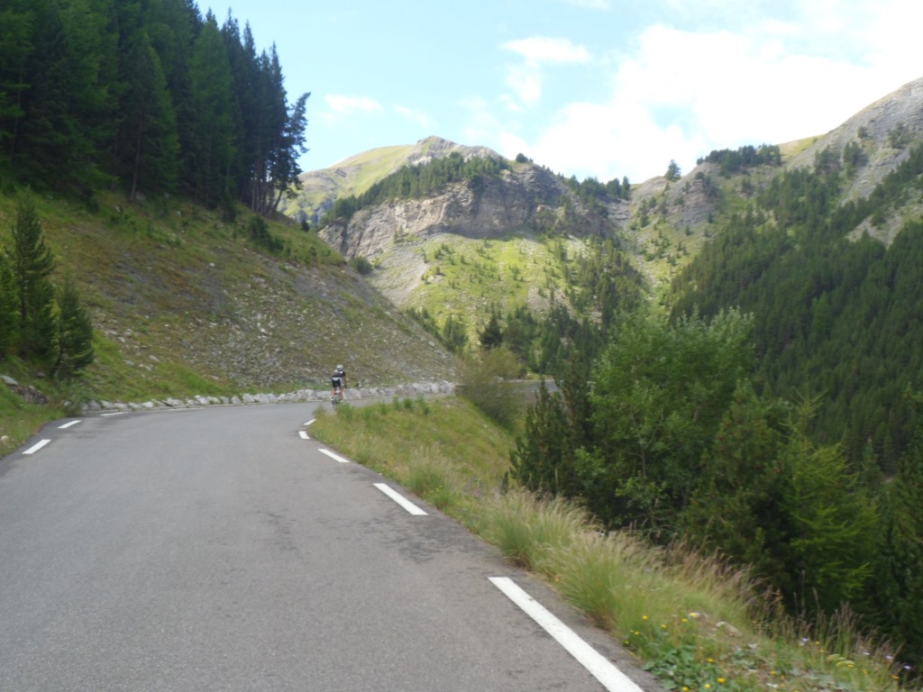
Getting above . . . .
|
|
. . . . the trees
|
|
Grandiose environment
|
|
. . . . .
|
|
Steeper part
|
|
Getting 'onto the moon'
|
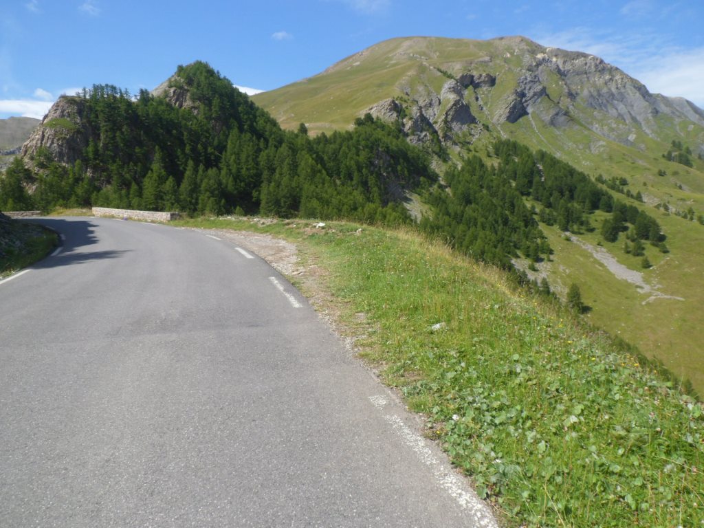
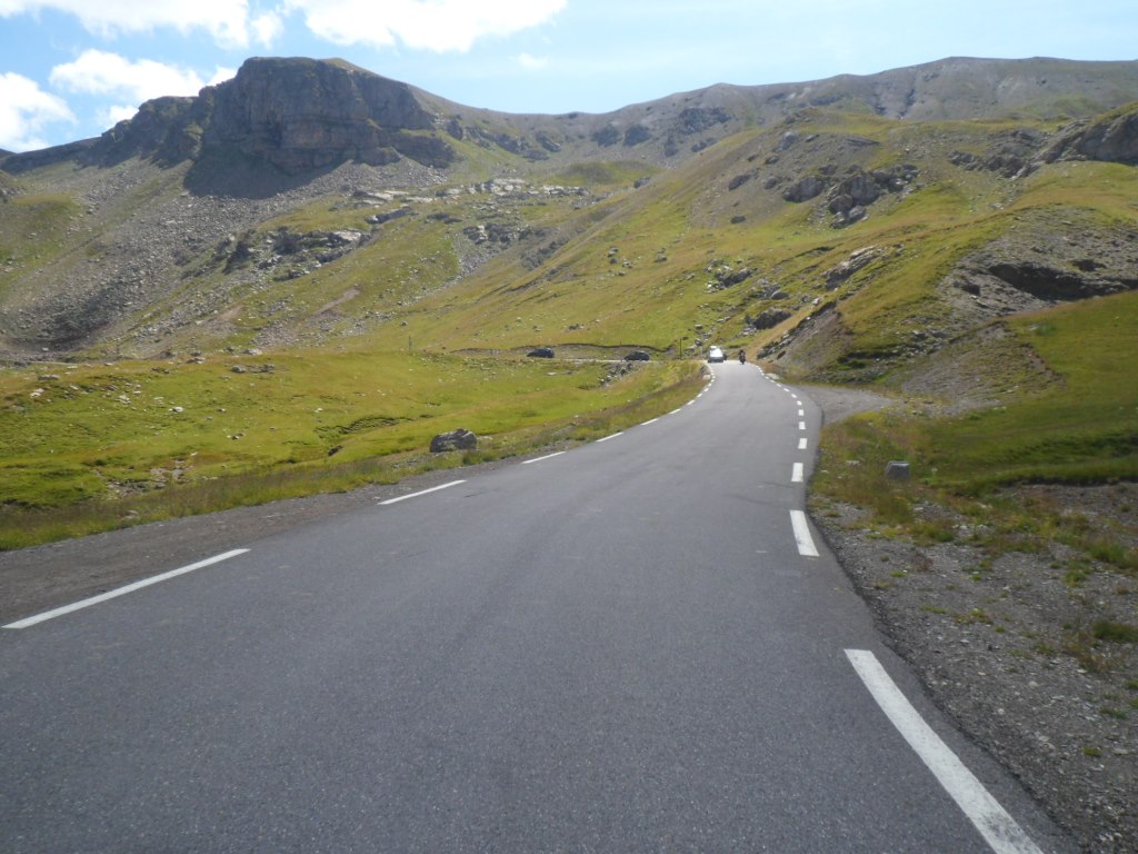
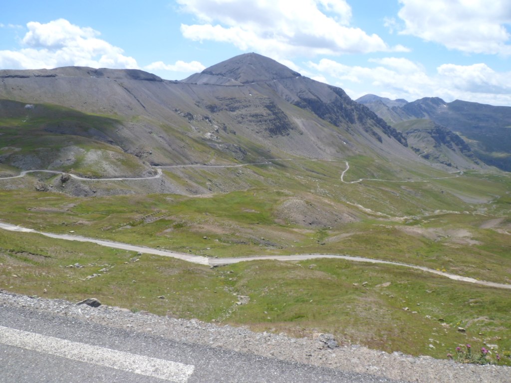
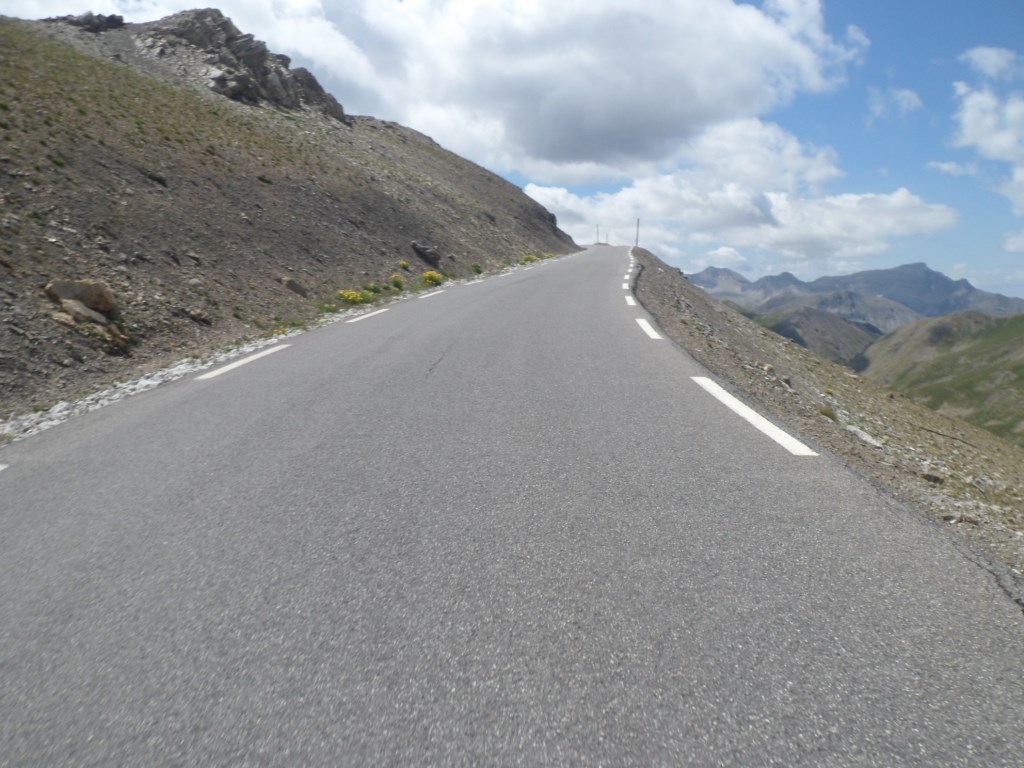
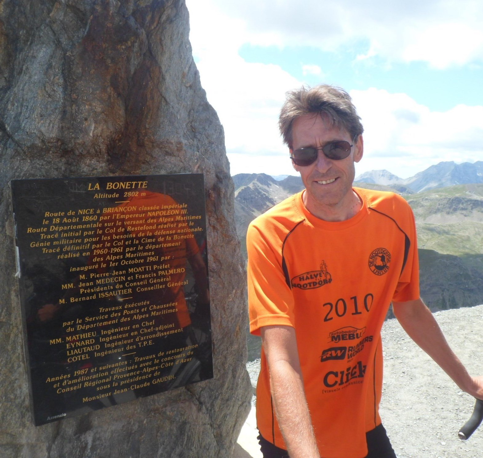
The remainder, with the impressive black cime in view all the time, luring me beyond the exit to the Col de la Moutière, goes smoothly. Just after the exit I come across the two English, re-descending from the Bonette. So they took my advice. Only the last nonsensical few hundred meters, steep and windy, are strenuous, and then, finally, three days before the end, I reach the highest point of the 2014 tour. A sociable fellow countryman makes a few pictures of me at these historic moments.
|
After the break . . . .
|
|
. . . . cycling through a moon landscape
|
|
I opt for the harder way first
|
|
The end is clear
|
|
Nice overall picture 'high up there'
|
|
Cycling through . . . .
|
|
. . . . this moonlike landscape
|
|
Getting closer and closer
|
|
Real close
|
|
Being 'there'
|
|
View to descent from Col de la Moutière
|
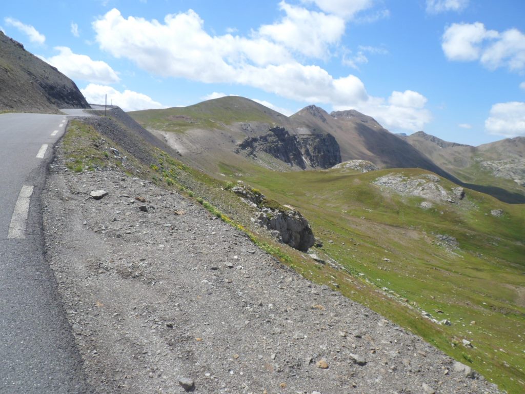
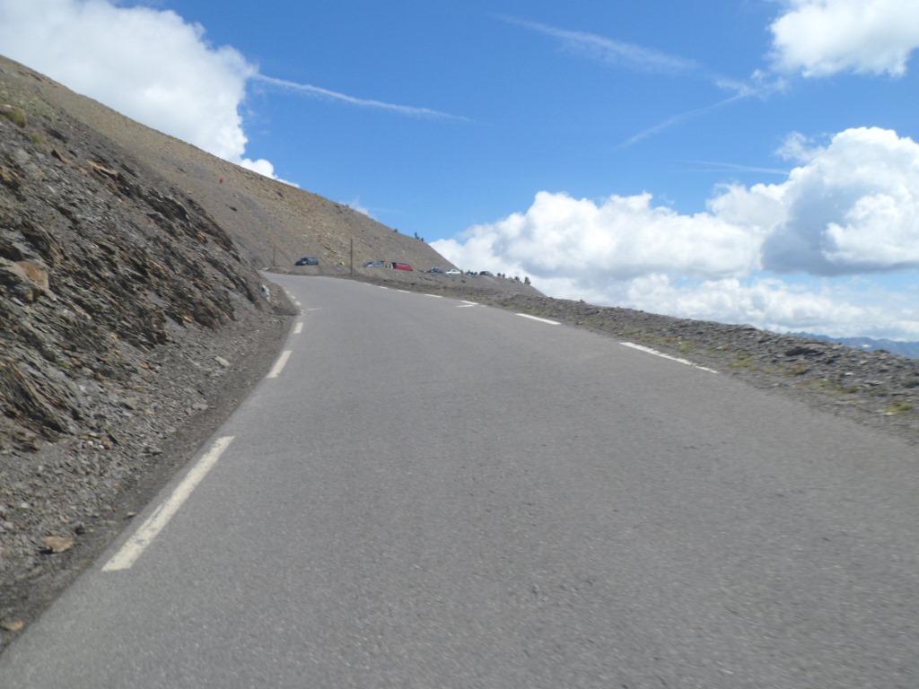
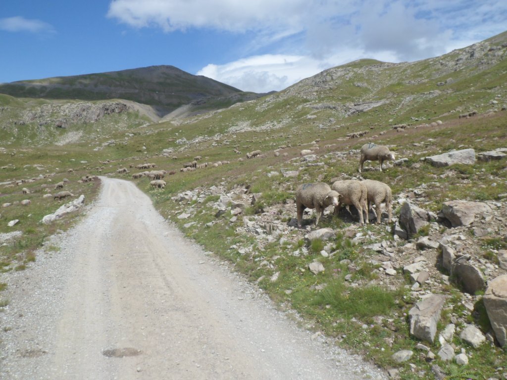
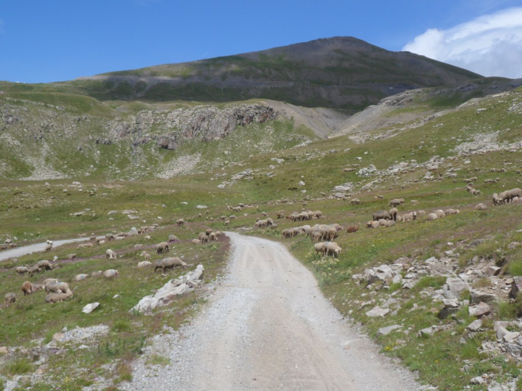
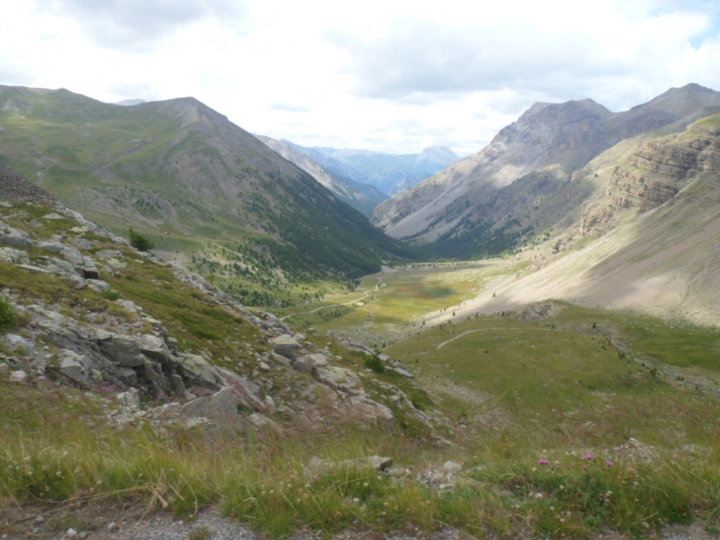
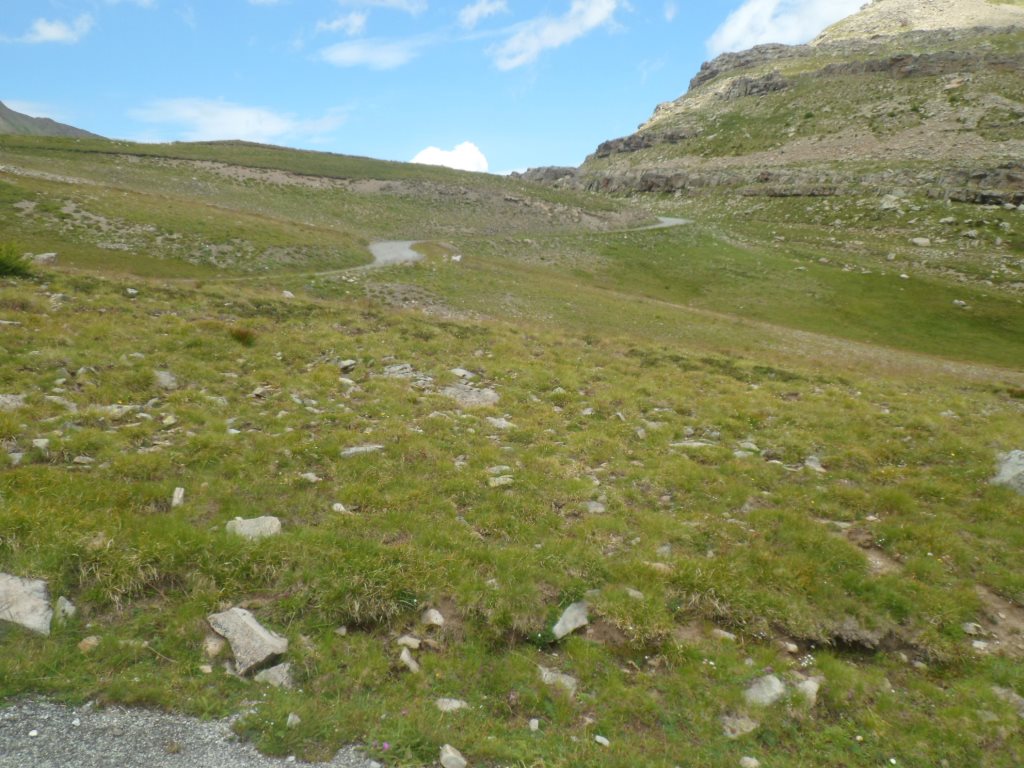
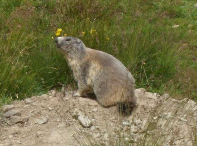
I complete the loop around the Cime de la Bonette, enjoy the views to the 'easy' direct descent, and return to the junction three km back. I turn onto a stony path on which I descend with great concentration at a walking pace, many sheep!, and sounds of marmots. The last one km, slowly up again, with the col in view, and also a far, far away view to the west, possibly as far as the Grande Séolane (yeah, definitely!), is MAGNIFICENT.
|

Descent to the south-east
|
|
Descent to Col de la Moutière
|
|
View up to the road I just left
|
|
View to the west: Grande Soléane!
|
|
End of the struggle; however, how very beautiful
|
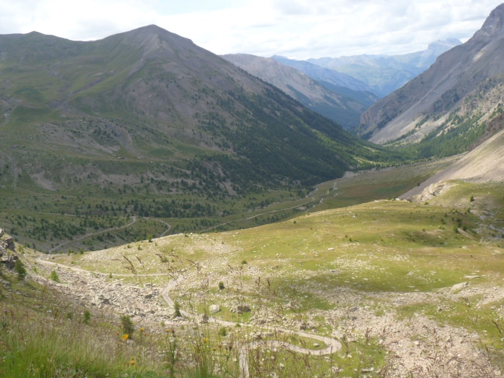
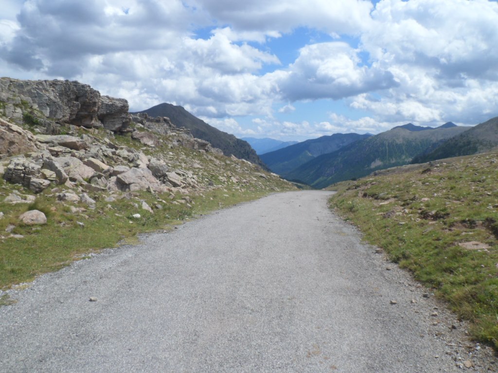
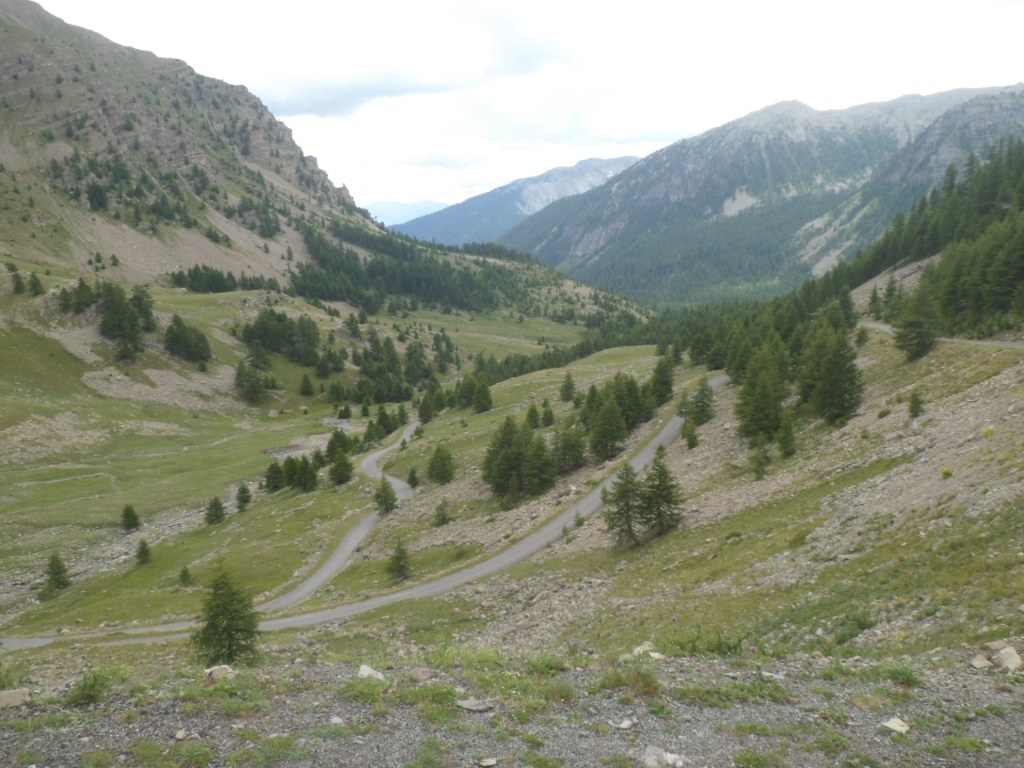
On the other side of the pass the tarmac soon returns. And look who are sitting there: the two English! Time to at least exchange names: theirs are Barry and Sue. They tell me they have been in many races in the past – indeed with all their luggage they kept quite a good speed up to the Bonette. It appears they're on their way to the campground in Saint-Sauveur-sur-Tinée, so we'll meet again later. Later indeed, because now I want to continue my route and have a break in Saint-Étienne-sur-Tinée. The descent till Saint-Dalmas-sur-Selvage is rather quiet, which is nice, and rather 'technical', which is rather tricky. A new speed record stays far out of reach there.
|
Endless road down
|
|
. . . . from Col de la Moutière
|
|
|
|
|
|
High up to: Cime de la Bonette
|
|
View back to desolate landscape
|
|
Look whom we've got there!
|
|
On and on, down and down
|
|
Below the tree line
|
|
. . . . .
|
|
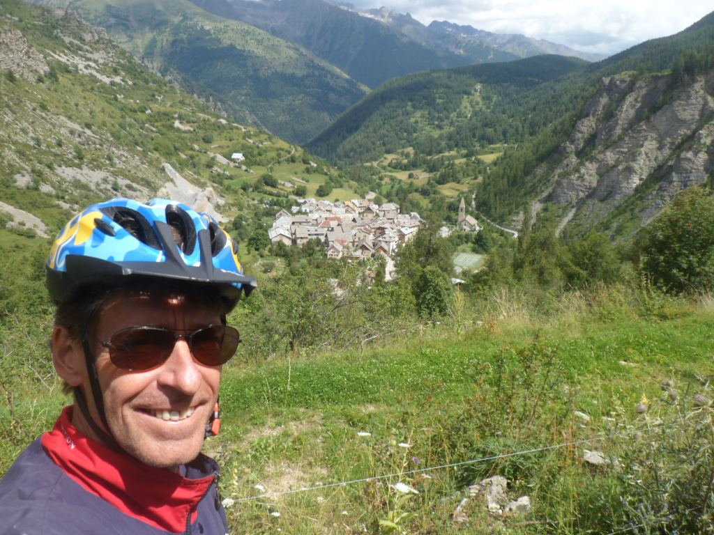
Selfie with Saint-Dalmas-sur-Selvage (like in '97)
|
|
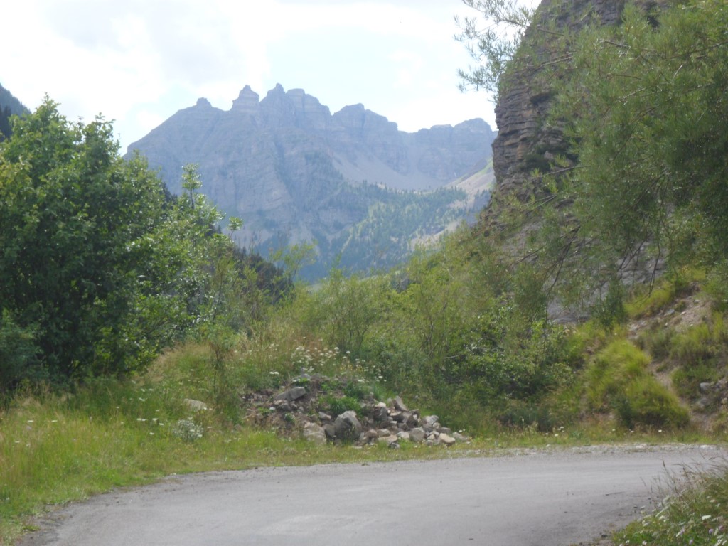
View to the west
|
After Saint-Dalmas the road gets wider, the road surface gets better, and
it's more fun to let the Koga roll freely. With the few clouds the 'intermediate' (neither haute nor basse) valley of the Tinée is beautiful. In Saint-Étienne I have a break on a bench in the middle of town, where supposedly some party is going to take or has taken place, with an older inhabitant, a lady who has lived there her whole life. Again I enjoy a baguette Roquefort. I think I see Barry and Sue turn around a corner. From Saint-Étienne till Saint-Sauveur it's mostly downhill, and the wind is from the south, just as I remember from earlier (at least the last two) occasions. What's new is the many new stretches of pistes cyclables.
|
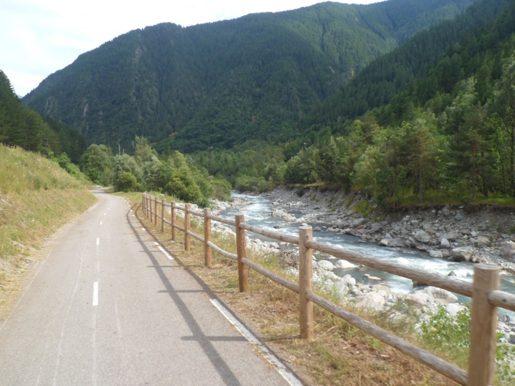
Along the Tinée
|
|
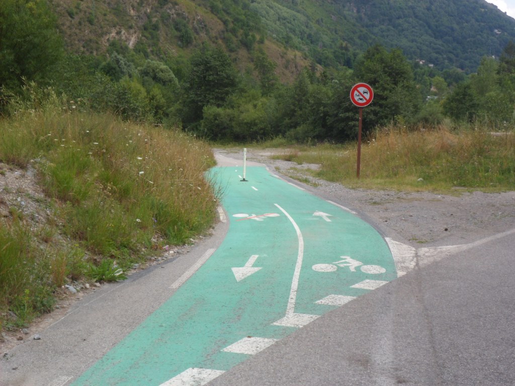
Pistes cyclables
|
|
|
|
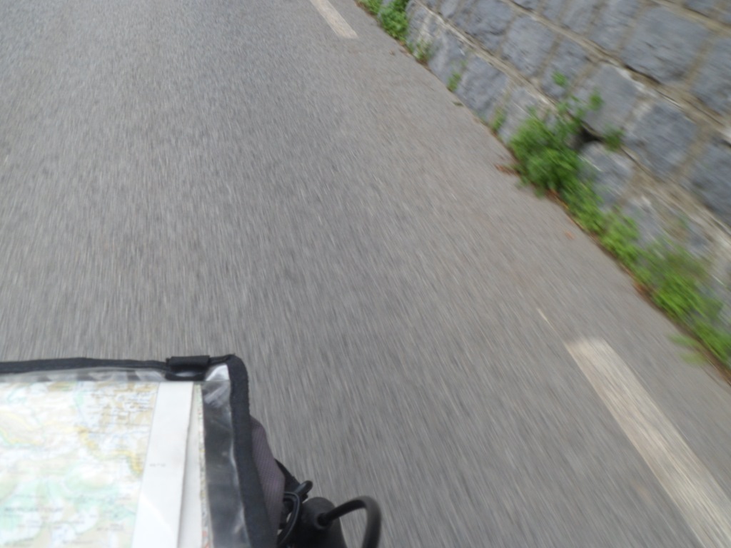
Keeping a good speed
|
|
The usual pic
|
|
Pipi
|
|
Barry and Sue
|
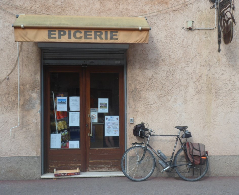
Shortly before Saint-Sauveur, when I'm finishing a pee, I'm passed by B.&S. again. I think I'll catch up with them, especially when I see them look back. But then it seems they think they are in a race. I'll only get at them at the junction to the campground. Alas, the campground is out of order: because of the risk of falling stones they closed the place down. I suggest they stay in the gîte but that appears to be full apart from one bed. Pity! They don't mind another twenty km (and 800 m up) till Saint-Dalmas-de-Valdeblore. Ouch! In the gîte I meet one 'vague' Czech (he couldn't find the shop in Saint-Étienne since he didn't know the word épicerie), a family of three from Nice, and a group of nine young French hikers (20-25 years) that manage to cook a pasta meal in the very small kitchen, and are very open to talk to.
|
Saint-Sauveur-sur-Tinée
|
|
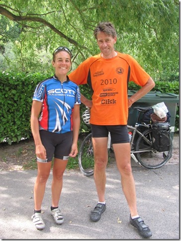
André and Sue
|
|
Picture for the Czech
|
Later two Dutch people arrive that just 'take the risk' and set up their tent. I call the woman that guards the gîte and tell her I will stay two nights and pay tomorrow, to avoid the two Dutch being urged to move to somewhere else (and if a big rock will fall on their tent feel guilty for the rest of my life).
↓ ↓ ↓
→
Next day
←
|
|