|
10-08-2014 Saint-Sauveur – Saint-Sauveur 126 km
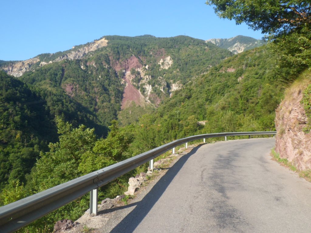
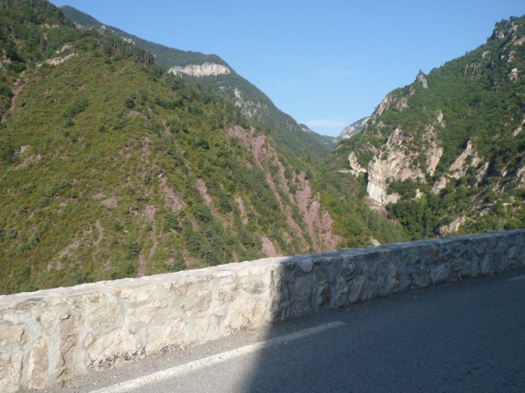
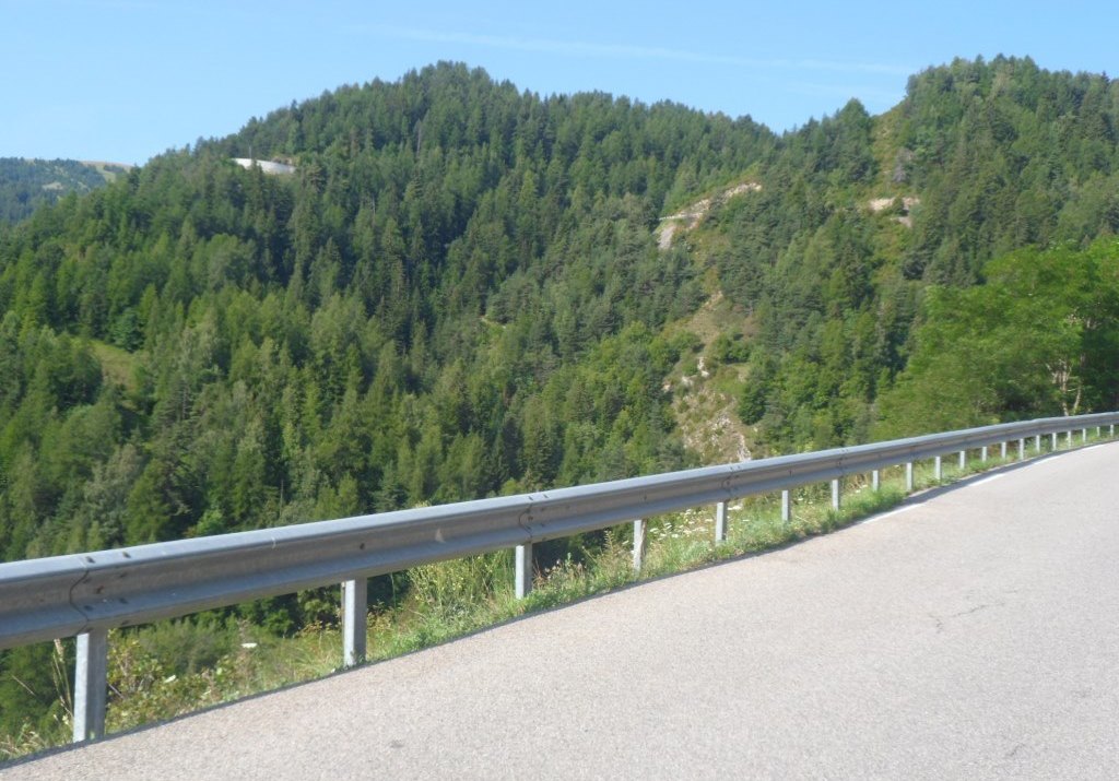
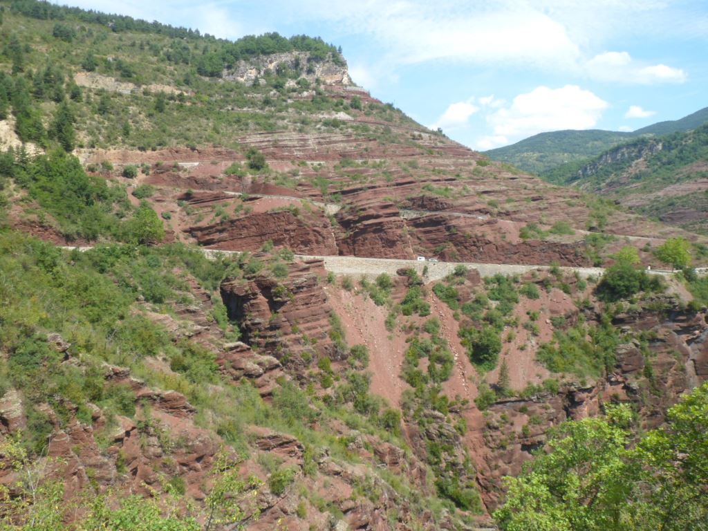
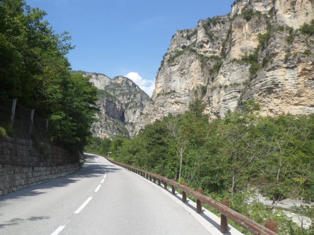
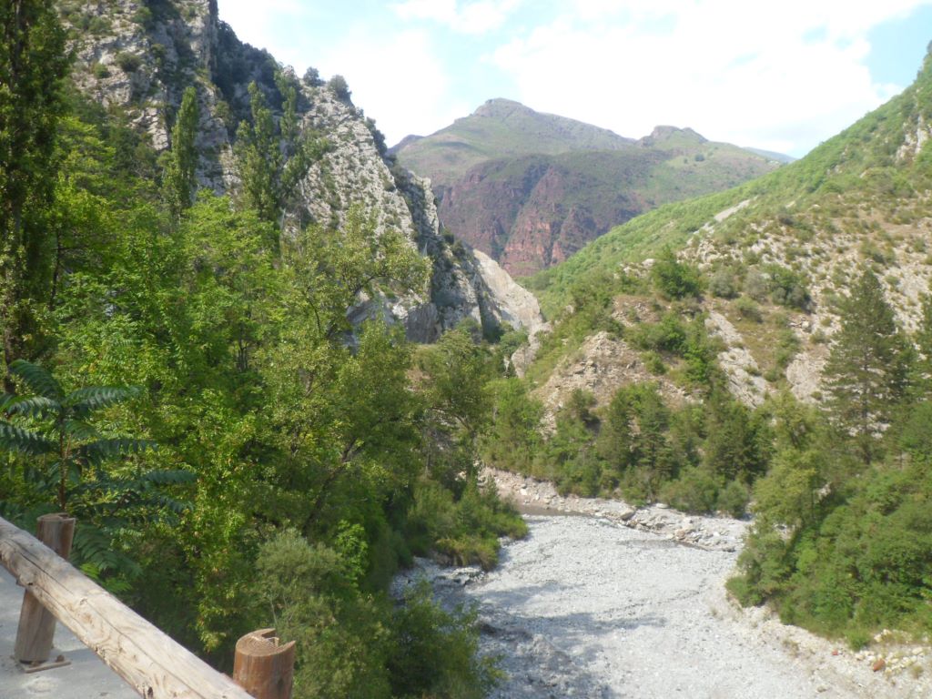
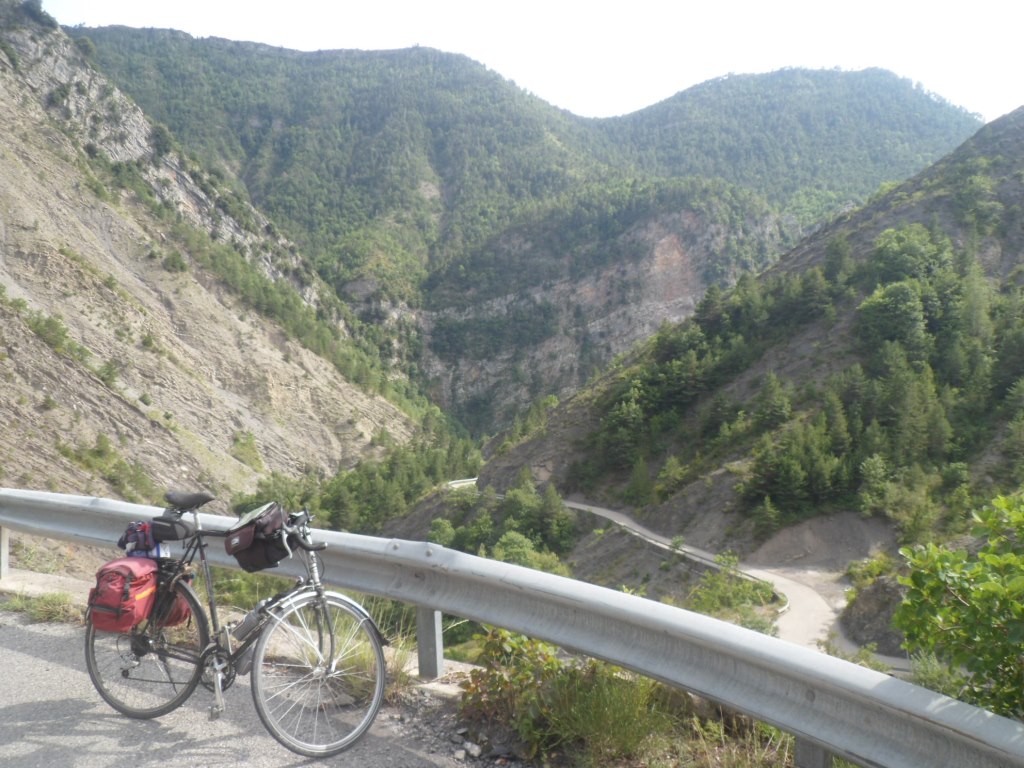
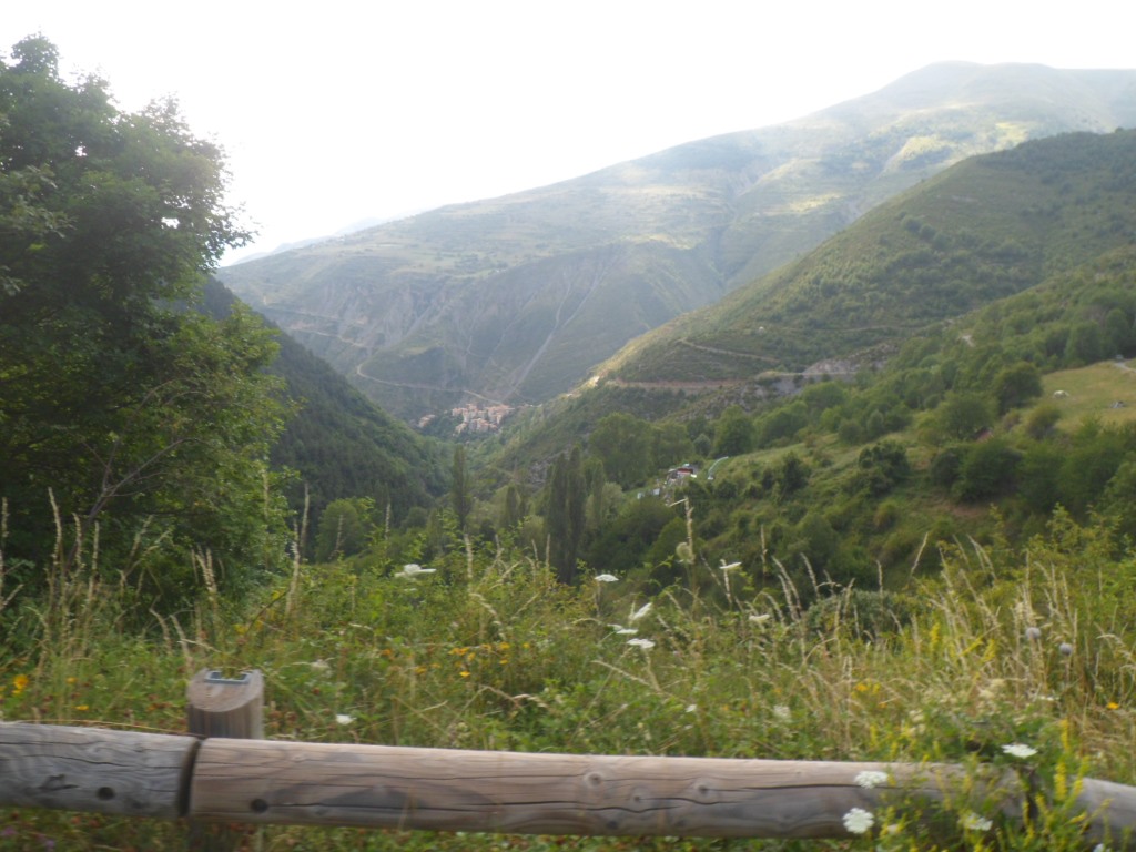
At breakfast I meet the threesome from Nice, with an especially friendly/caring wife/mother. Her husband works in a factory, so in the weekend they set out for some fresh air. Indeed yesterday they had dinner outside (like I did, joined by the group of nine) and this morning (while son is still sleeping) they take their breakfast out. Meanwhile the woman gives me all kinds of things (chicory coffee, nuts) and advice (the gîte of Roya is highly recommended). Around 7:45 p.m. I'm ready for the last étape sans bagage. The climb to the Col de la Couillole is certainly 1ère catégorie, both for its statistics (1180 m up in 16 km) and for its beauty, especially in the morning, a morning like today's.
|
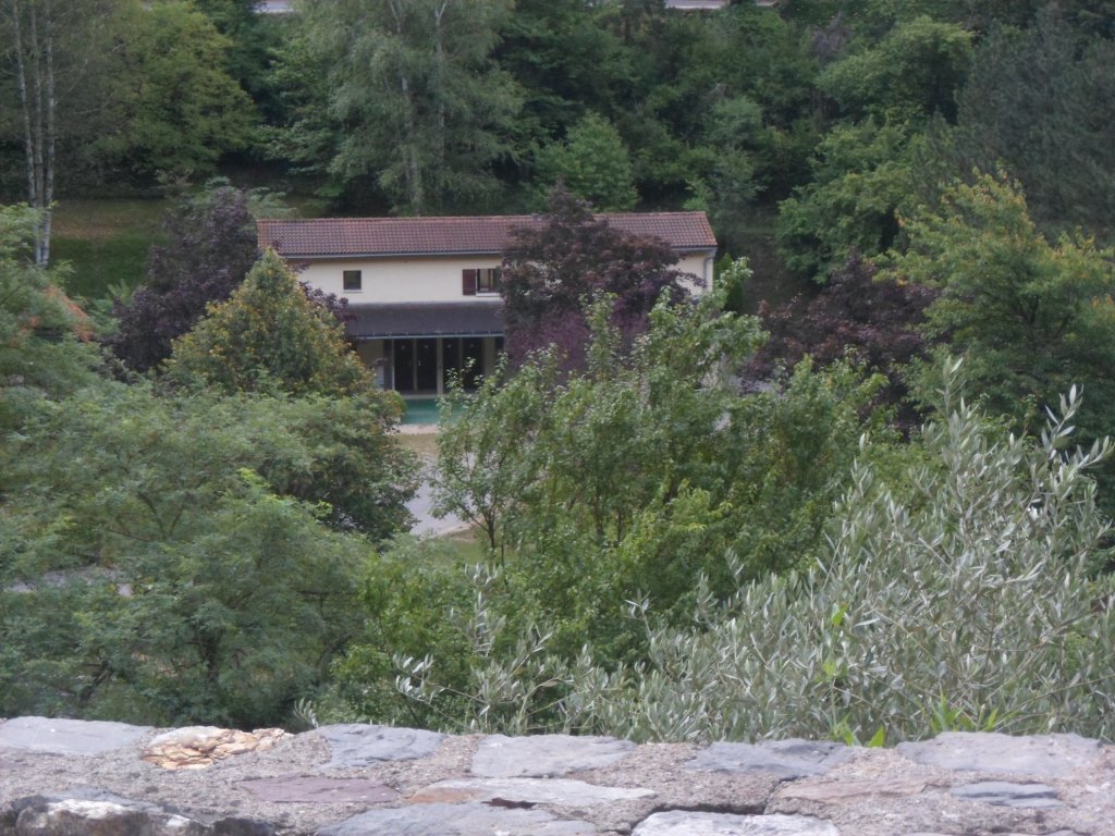
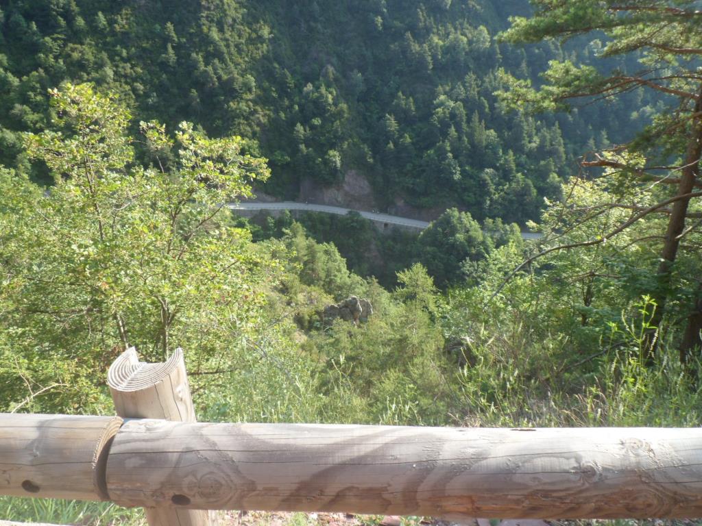
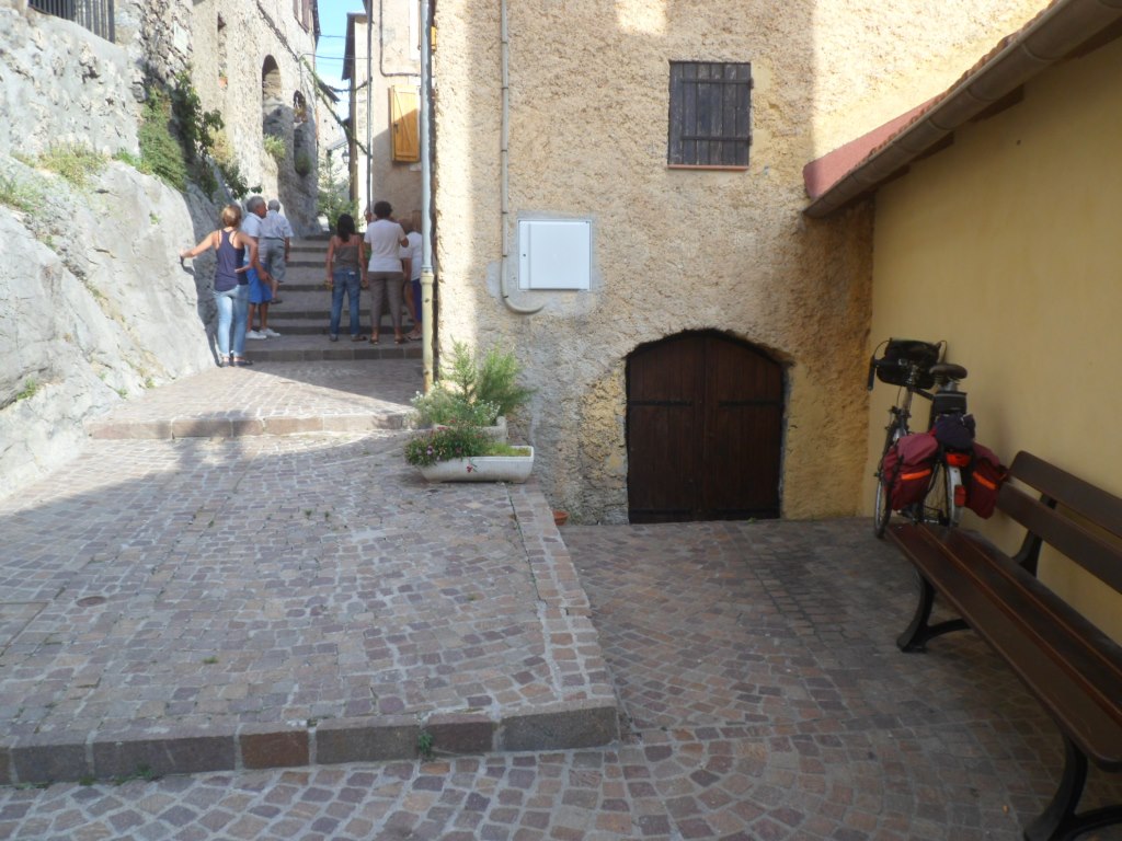
Gîte d'étape from above
|
|
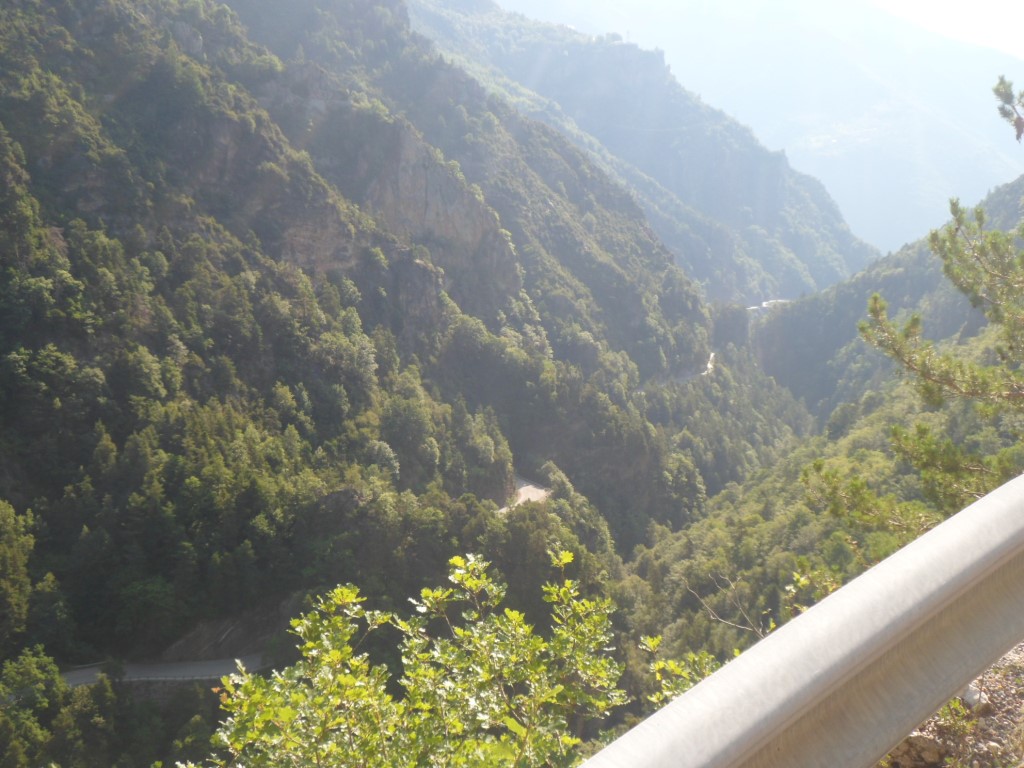
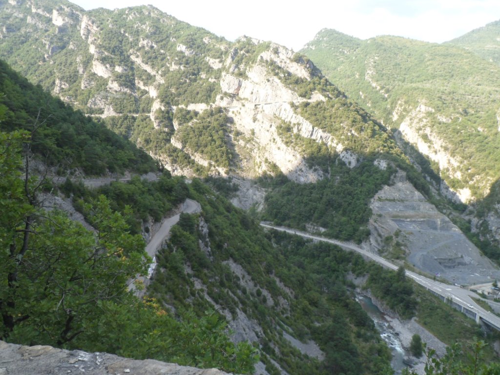
Saint-Sauveur from (higher) above
|
|
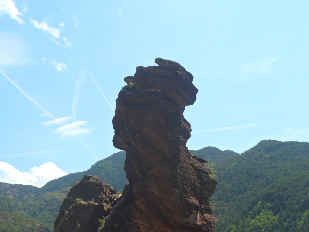
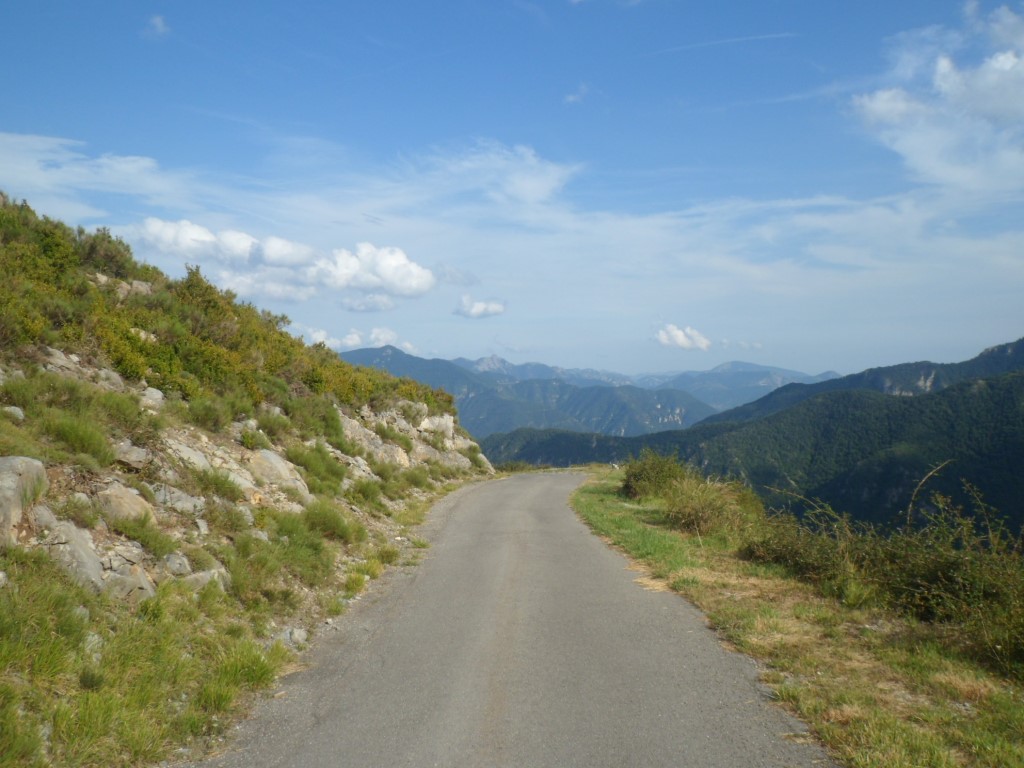
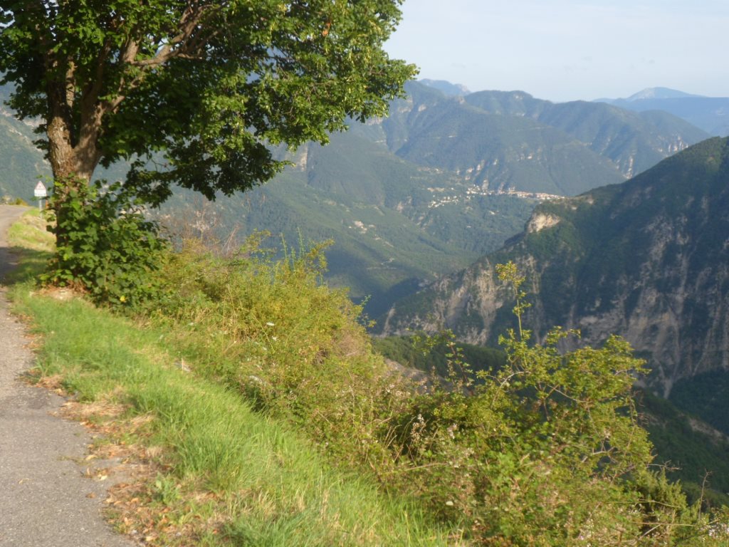
Lovely 5-star climb . . . .
|
|
. . . . rocks, trees and a blue sky
|
|
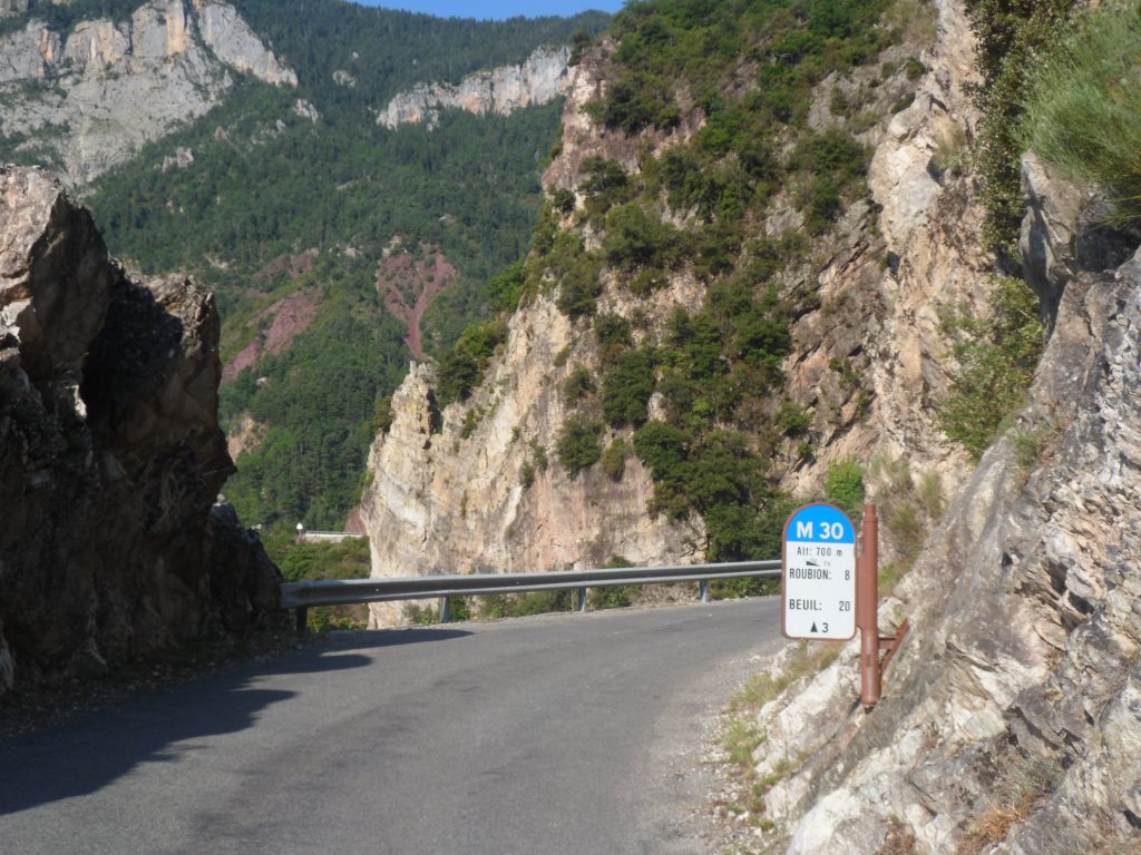
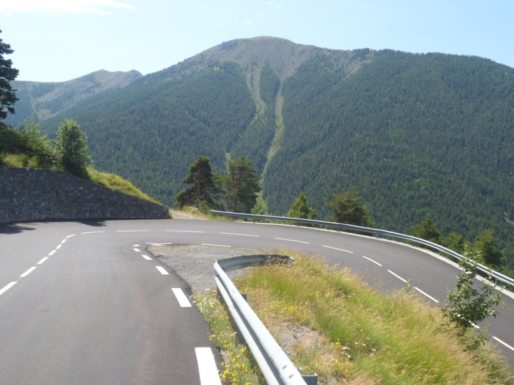
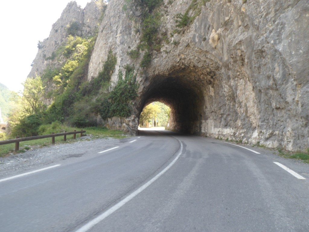
Convenient road info
|
|
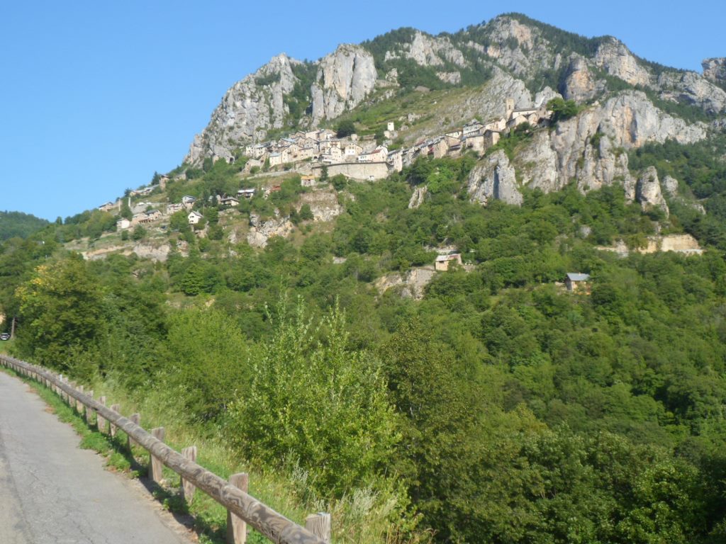
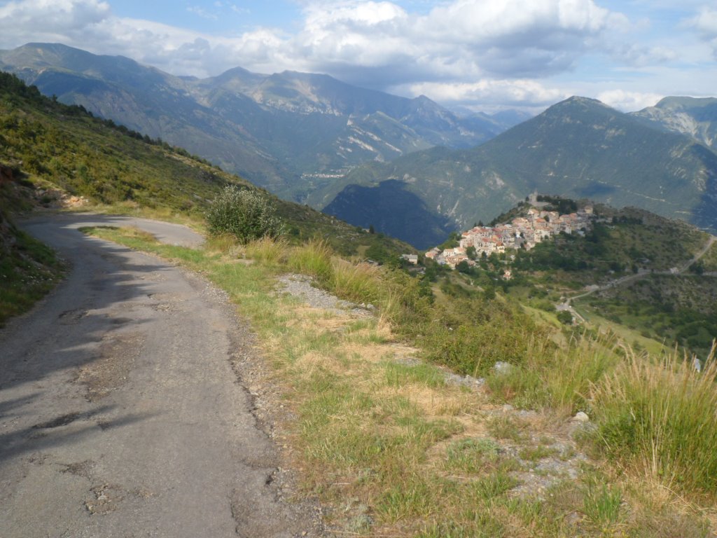
Very soon: Roubion (very) high up
|
|
Zoomed in (a bit) to Roubion
|
|
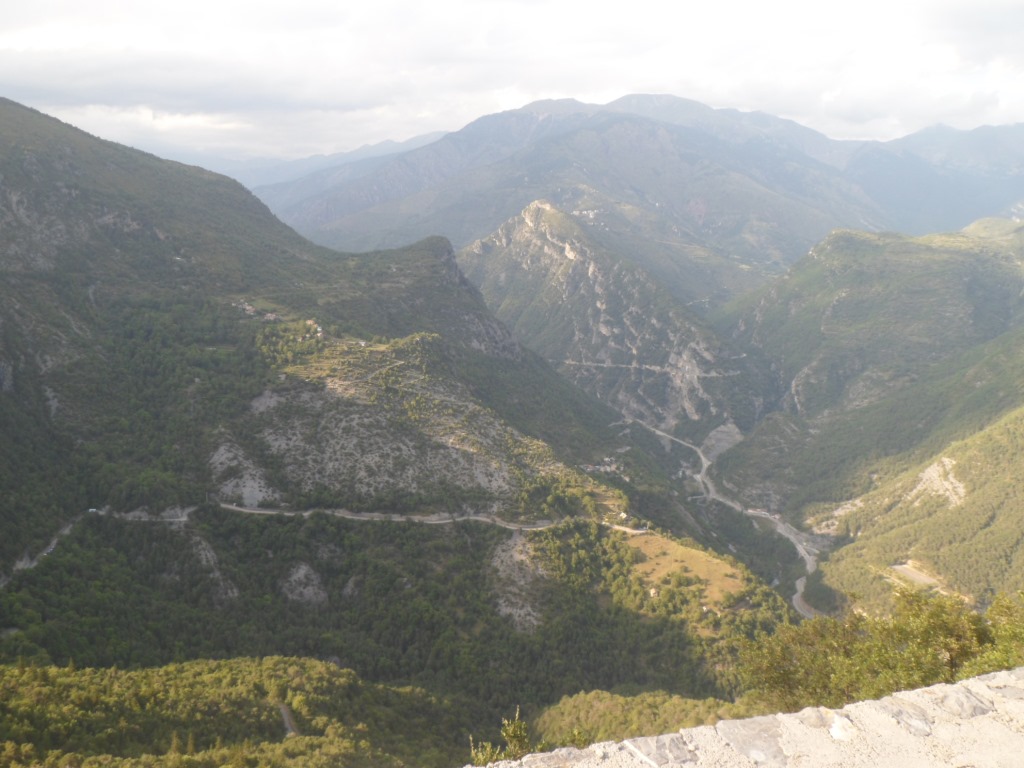
Glorious landscape
|
|
Eventually the views . . . .
|
|
. . . . are down rather than up
|
|
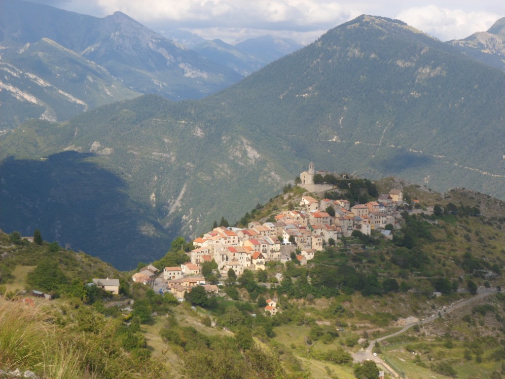
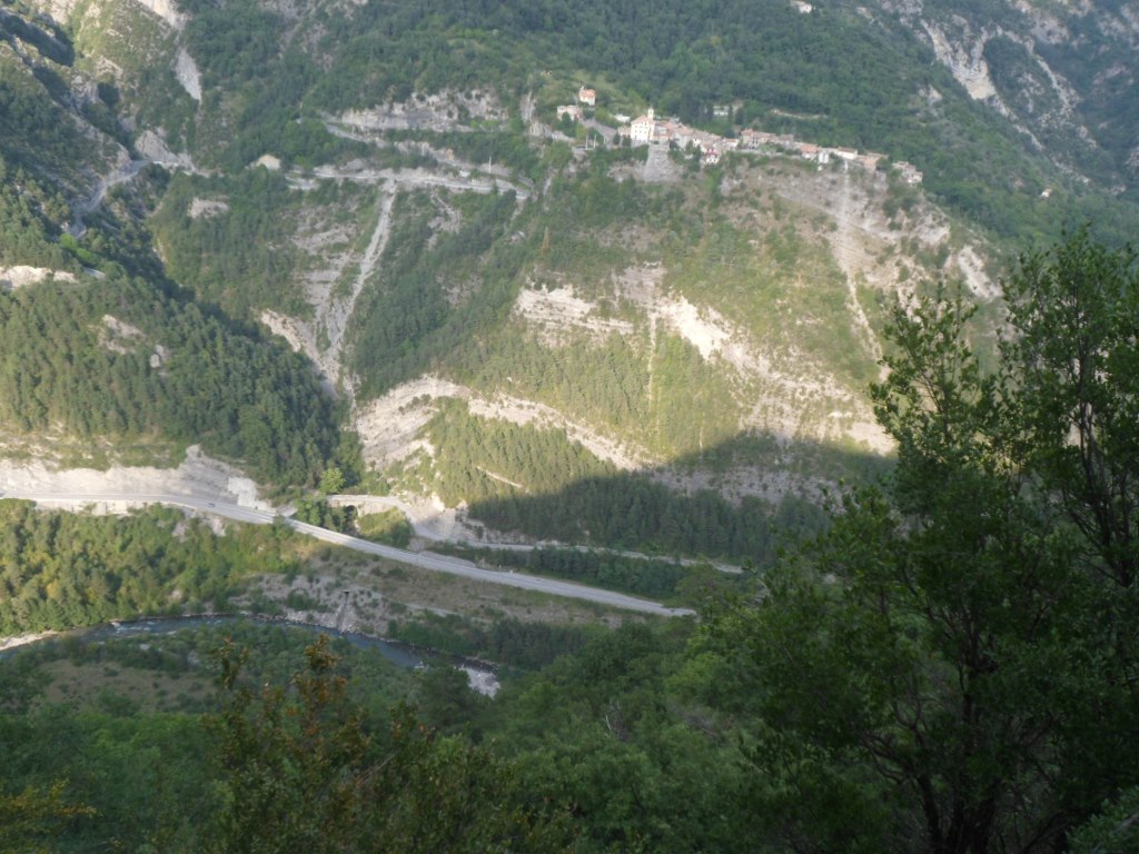
Roubion before me
|
|
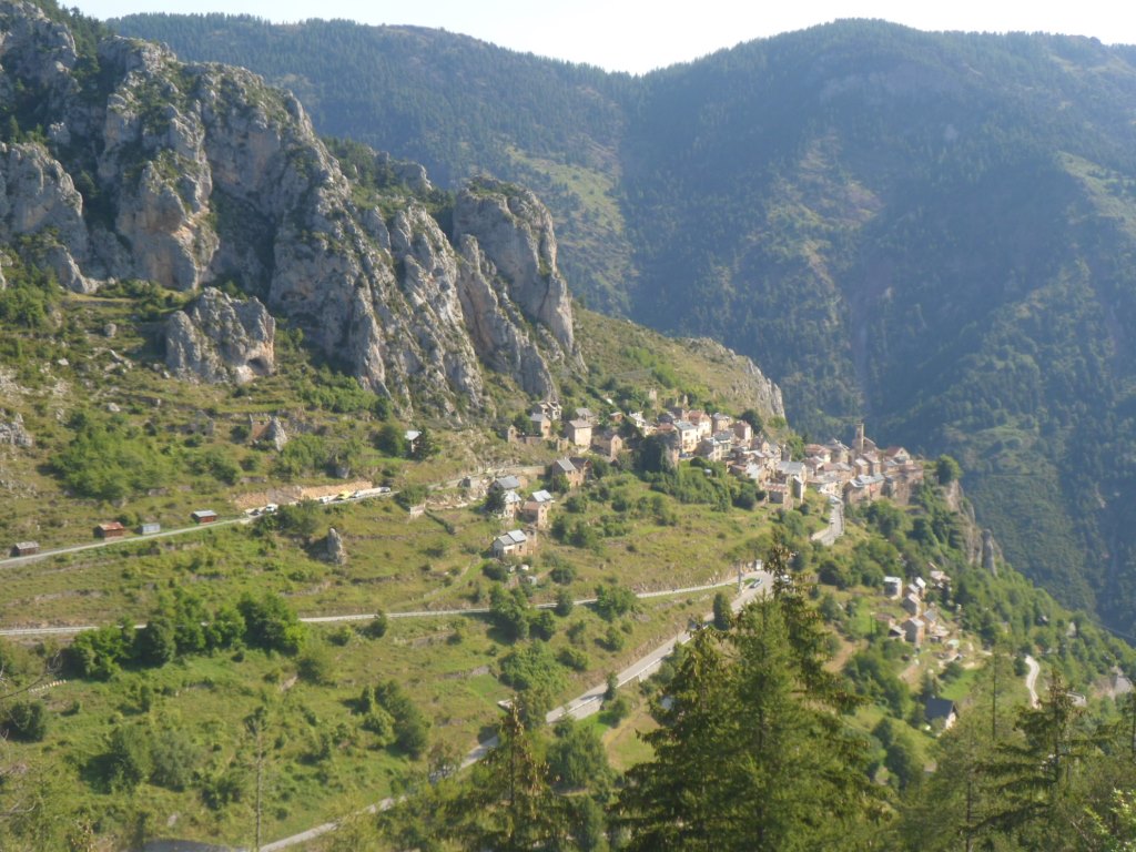
Roubion behind me
|
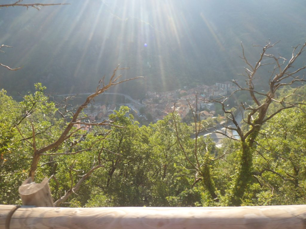
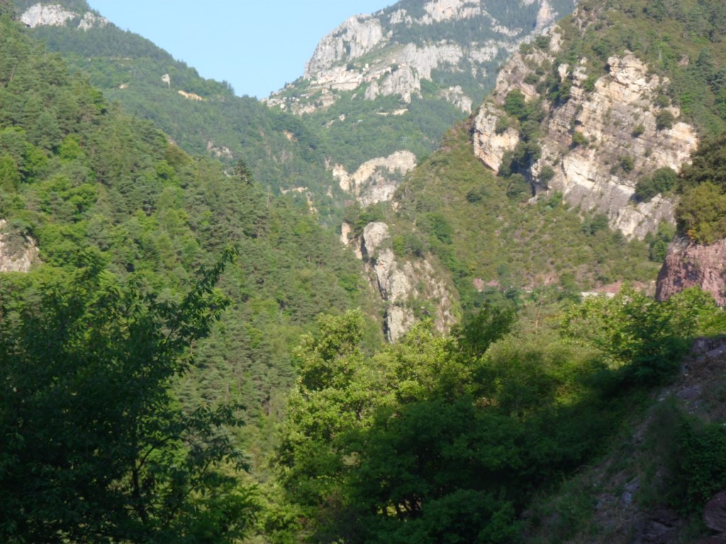
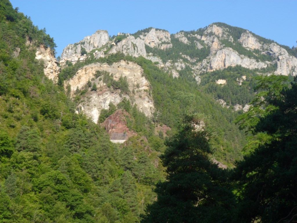
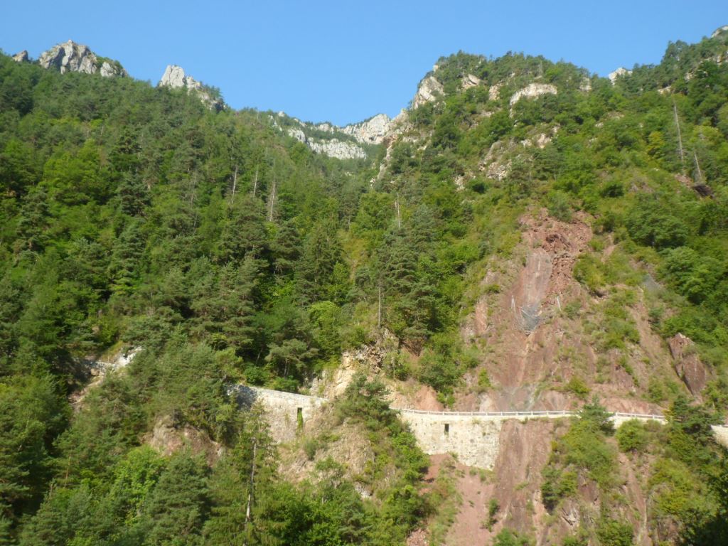
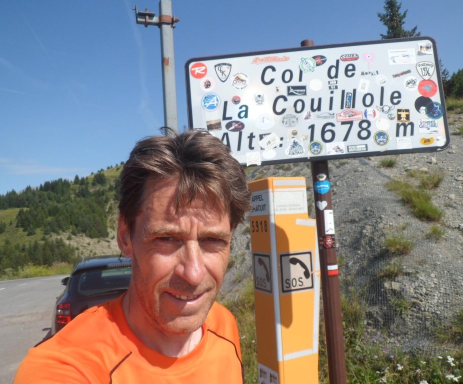
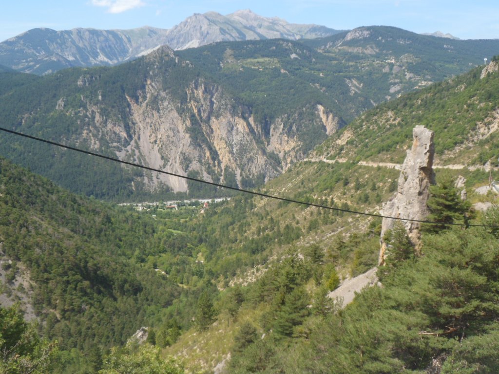
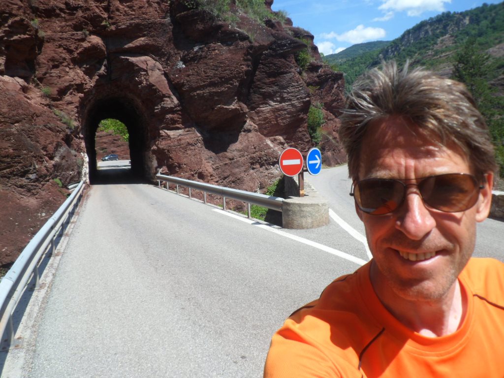
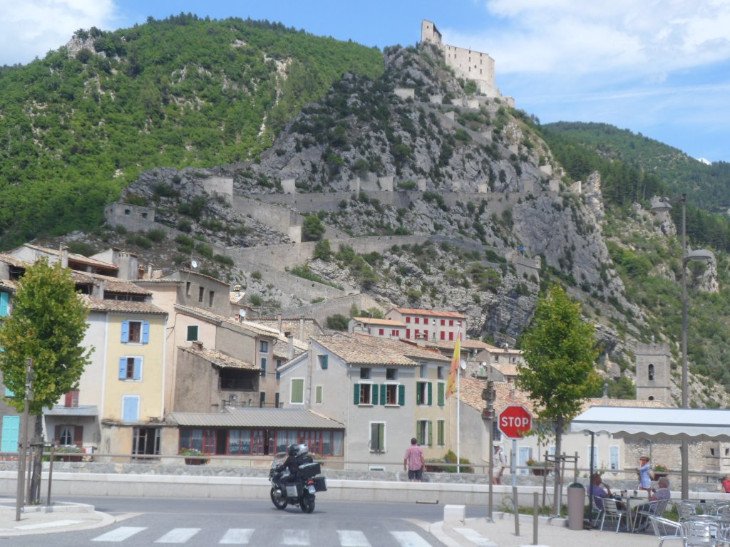
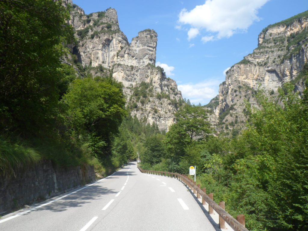
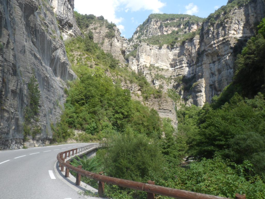
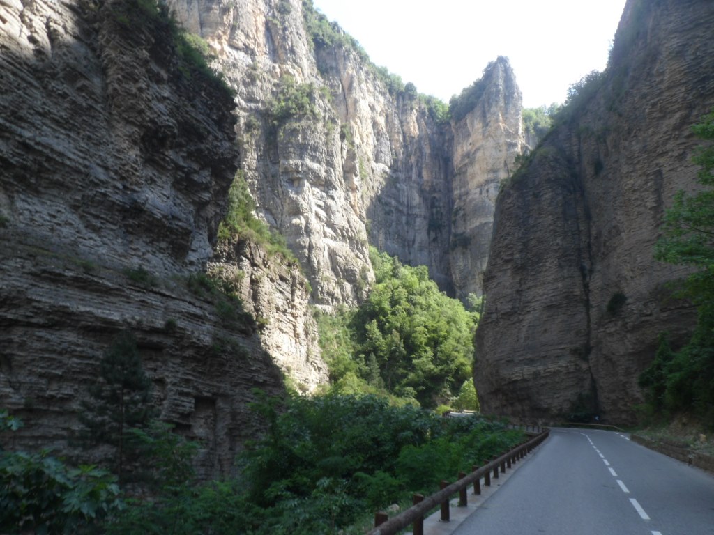
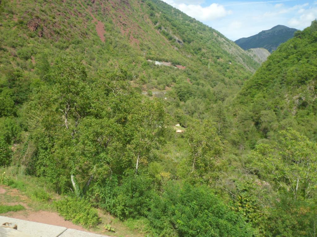
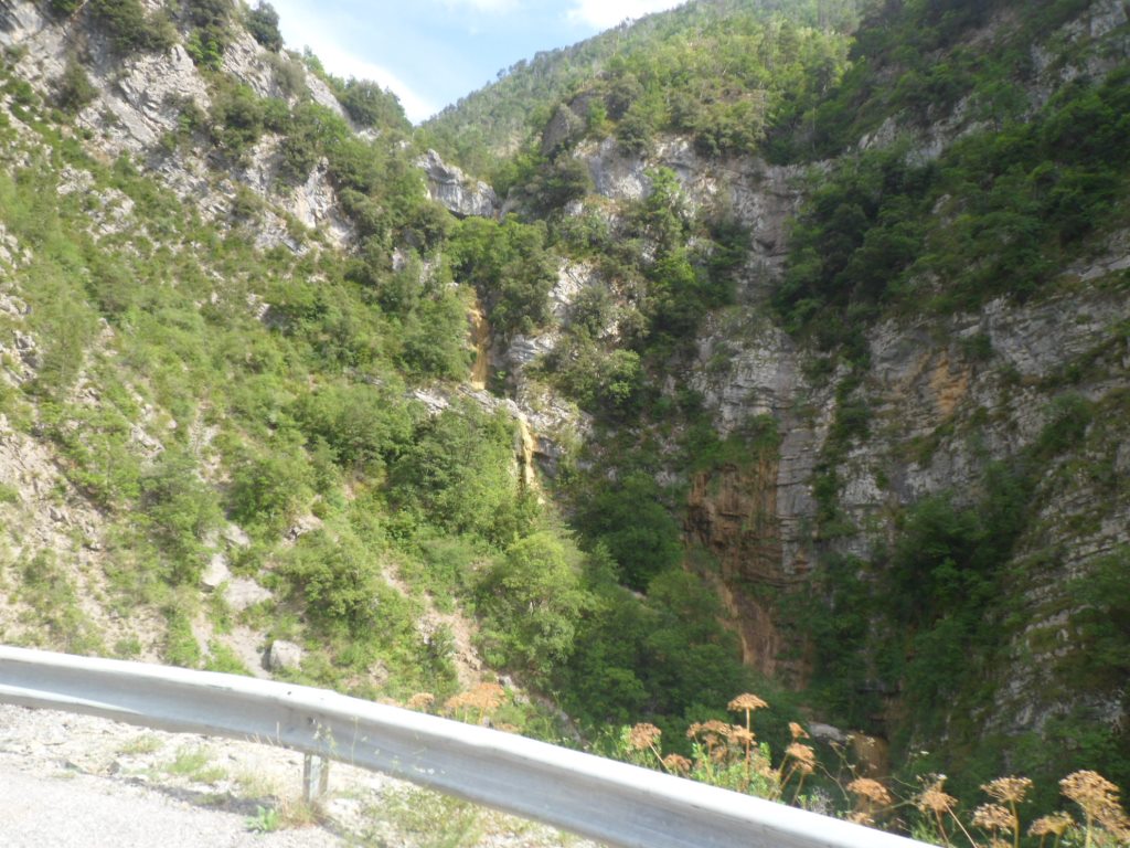
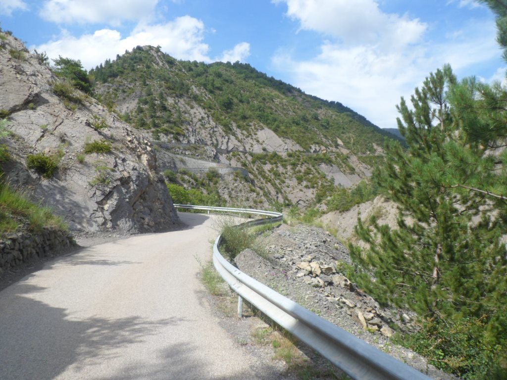
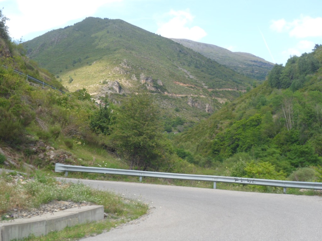
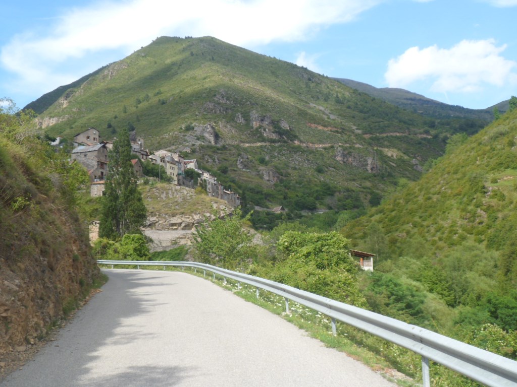
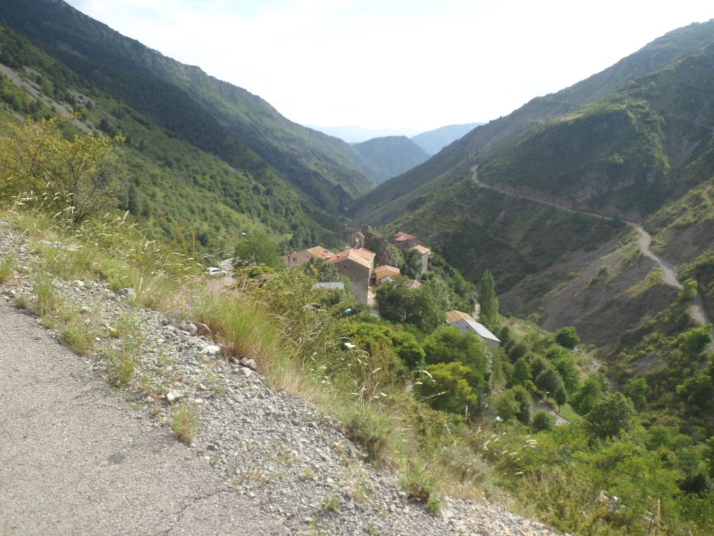
Again I thoroughly, thoroughly enjoy it. First the steep views back to the gîte, later onto Saint-Sauveur, all around me the colourful tableaux of white and red rocks into which in an incredible way trees have managed to insert their roots, today with a clear blue sky above it, the similarly incredibly situated village of Roubion – a village of 125 inhabitants in 2011, and with quite a long history: Le village apparaît dans les textes sous plusieurs noms : Robio, en 1067, Rubion, et Robionum, en 1293, Robjono, en 1333. Roubion is quite a landmark: after 4 km you get the first view of it, and when you've finally reached it, the climb is almost in the pocket. In between, my mood is jolly good and I feel strong, even though I am passed by several cyclists, among whom a tawny, tanned woman in a yellow jersey (!) that makes me feel like I'm standing still; before I can call "Hey, what's your name, Contador?!", she's already far ahead. After Roubion the nicest part is over. Around 9:30 I take out my camera for a sunny selfie in front of the much stickered col sign.
|
Last (green) bits till . . . .
|
|
. . . . the highest point till Nice
|
|
Short descent to Beuil
|
|
View back, up to the pass (and what a gorgeous day!)
|
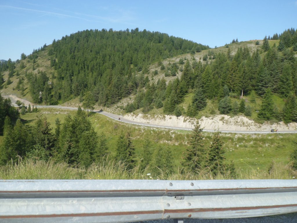
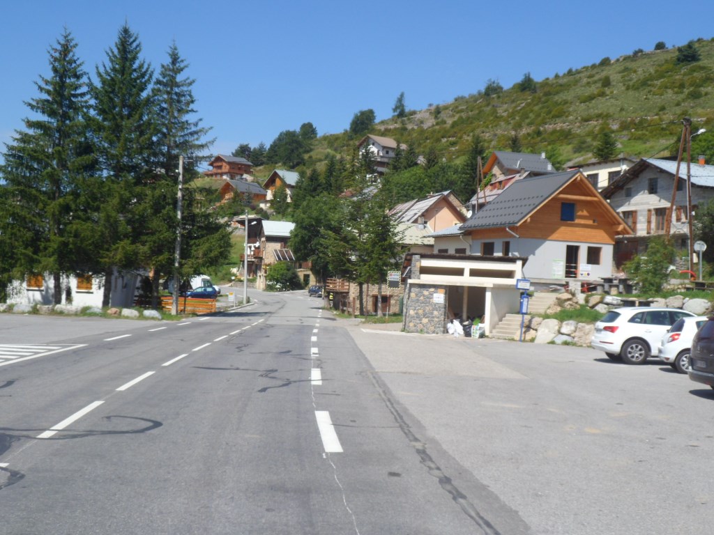
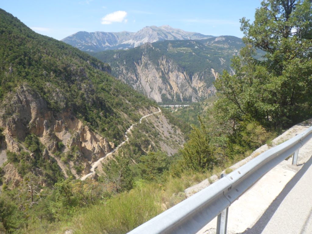
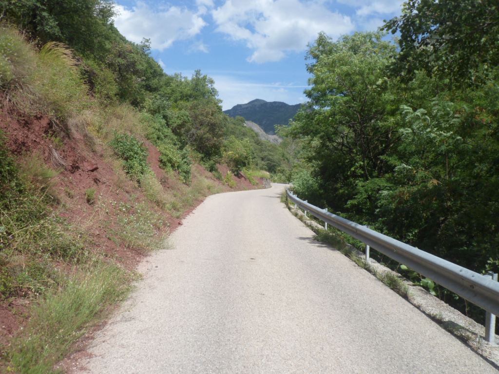
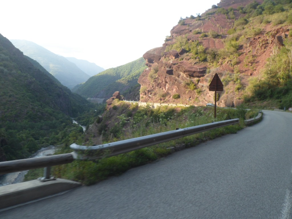
Follows a short descent during which I try to get a glimpse of the Gorges de Cians – probably my return route in the afternoon (today I left without a definite plan). In sunny, busy Beuil I buy some baguette et pâté and look for and find a bench on a tranquil place to consume these. Well, not so tranquil, for some reason unknown to me the place attracts quite a few tourists. From Beuil I think I have to go up another 400 m till the Col de Valberg – on a part of the map invisible to me now – and the km to La Condamine is rather steep.
|
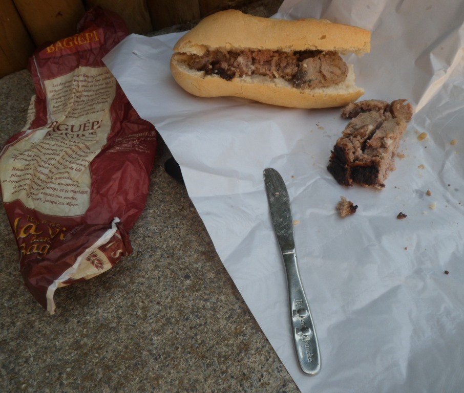
Pain et pâté in Beuil
|
|
La Condamine
|
|
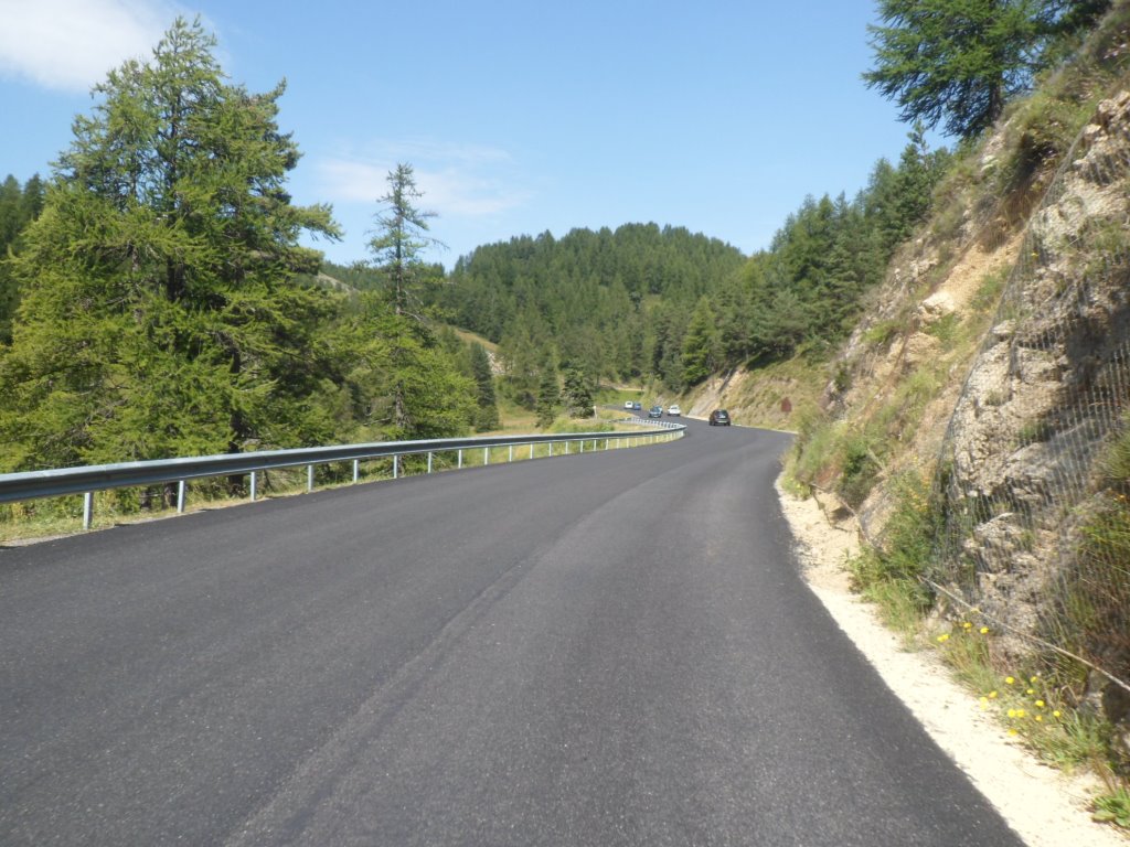
Well maintained road to Valberg
|
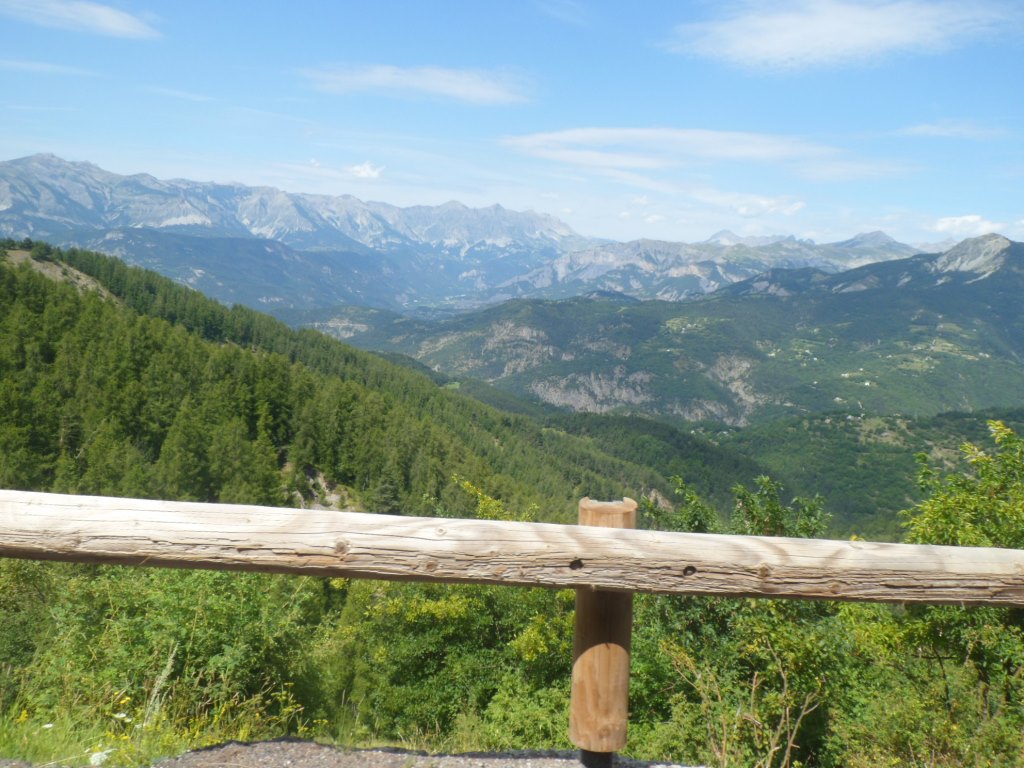
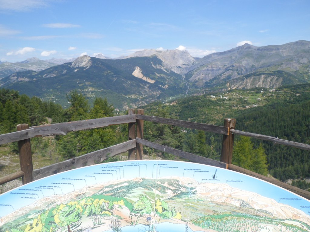
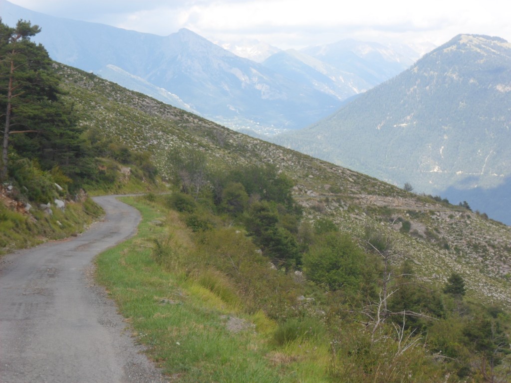
But then the roads starts descending!? To go up again till Valberg (which fits in the not much appreciated series Montgenèvre, Risoul, Les Deux Alpes, ...) After Valberg the scenery opens up and the views, especially to the north, are tremendous (new superlative!). And then it appears that the Col de Valberg is only 1672 m high. I put my bike on its stand to take in the wide view from the orientation table.
|
Tremendous views around . . . .
|
|
. . . . and from the Col de Valberg
|
|
Tremendous descent too!
|
|
|
|
Var view (to the south)
|
|
Tremendous view to the west (deep down: Guillaumes)
|
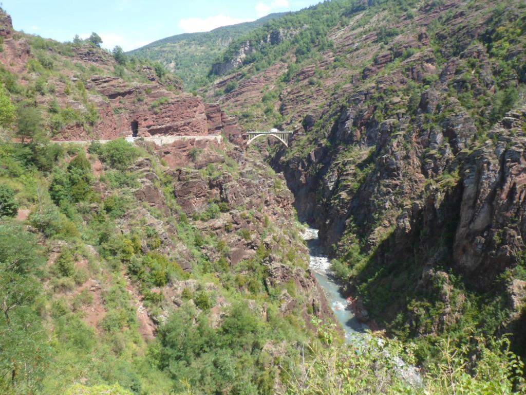
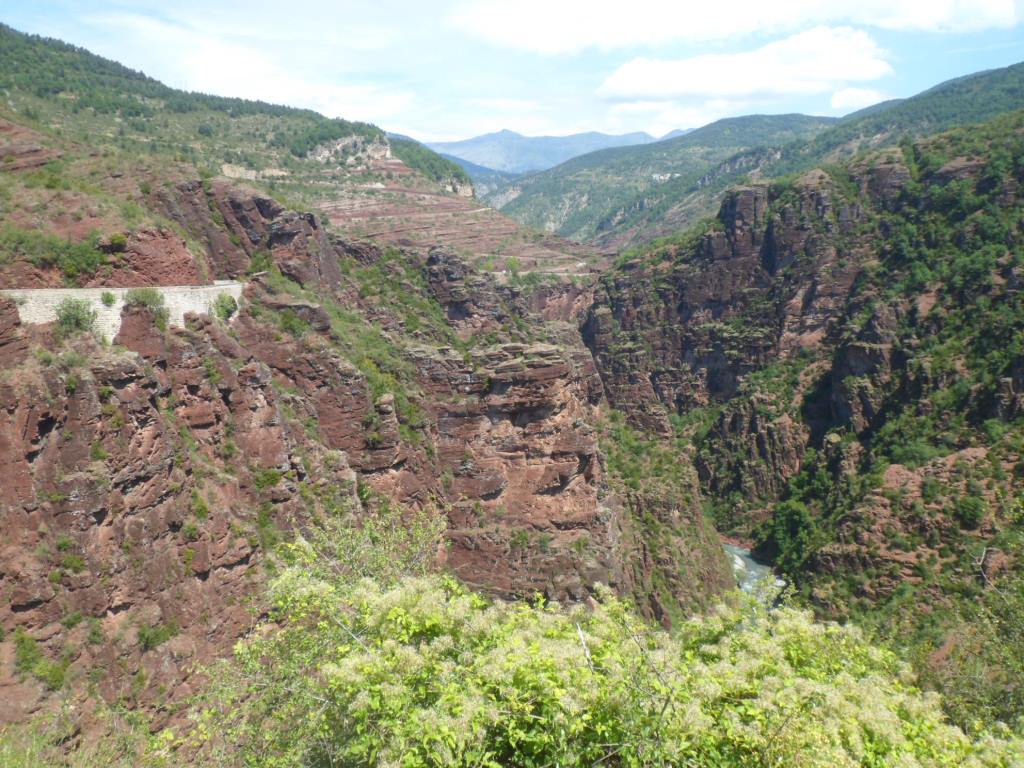
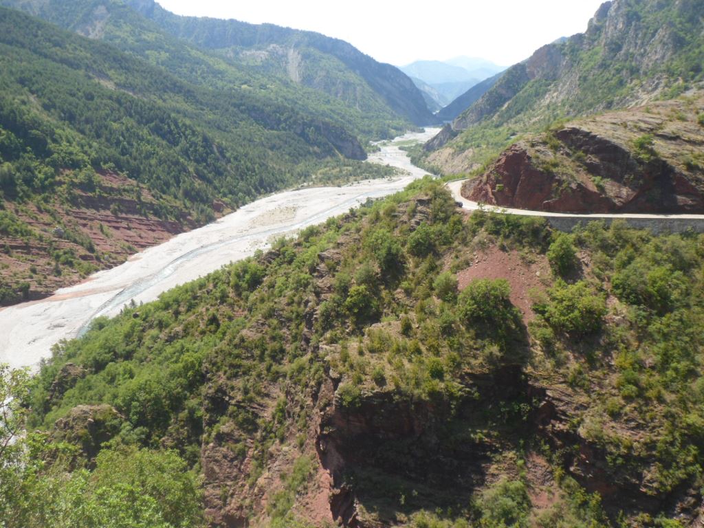
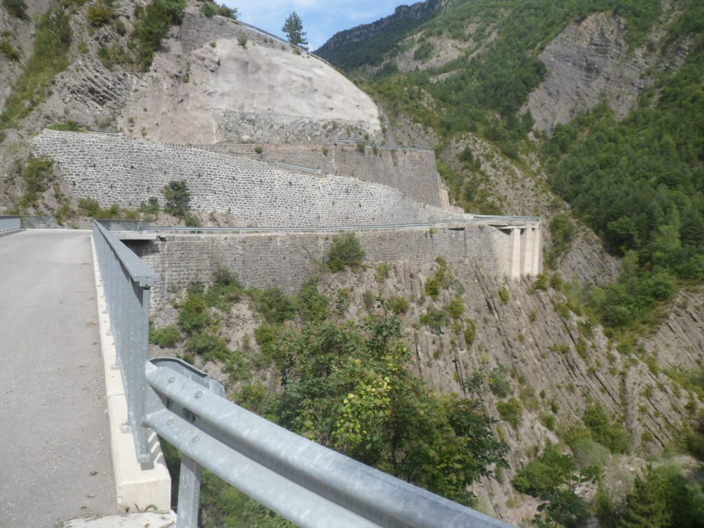
The other side of the col, well, that's quite something! In 12 km I dive down 900 m to Guillaumes,
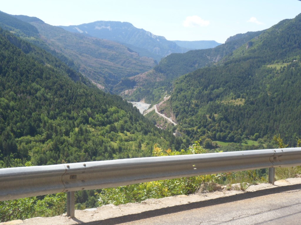
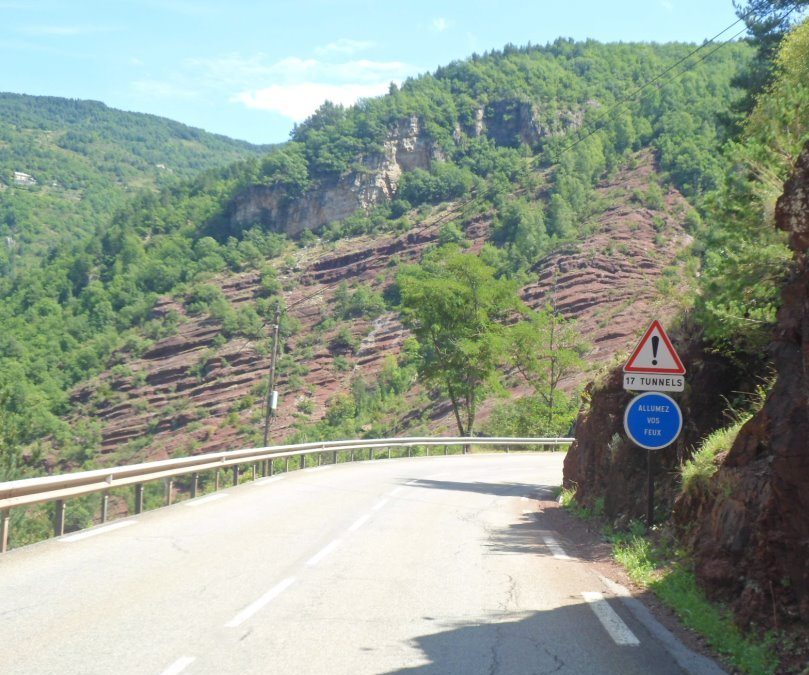
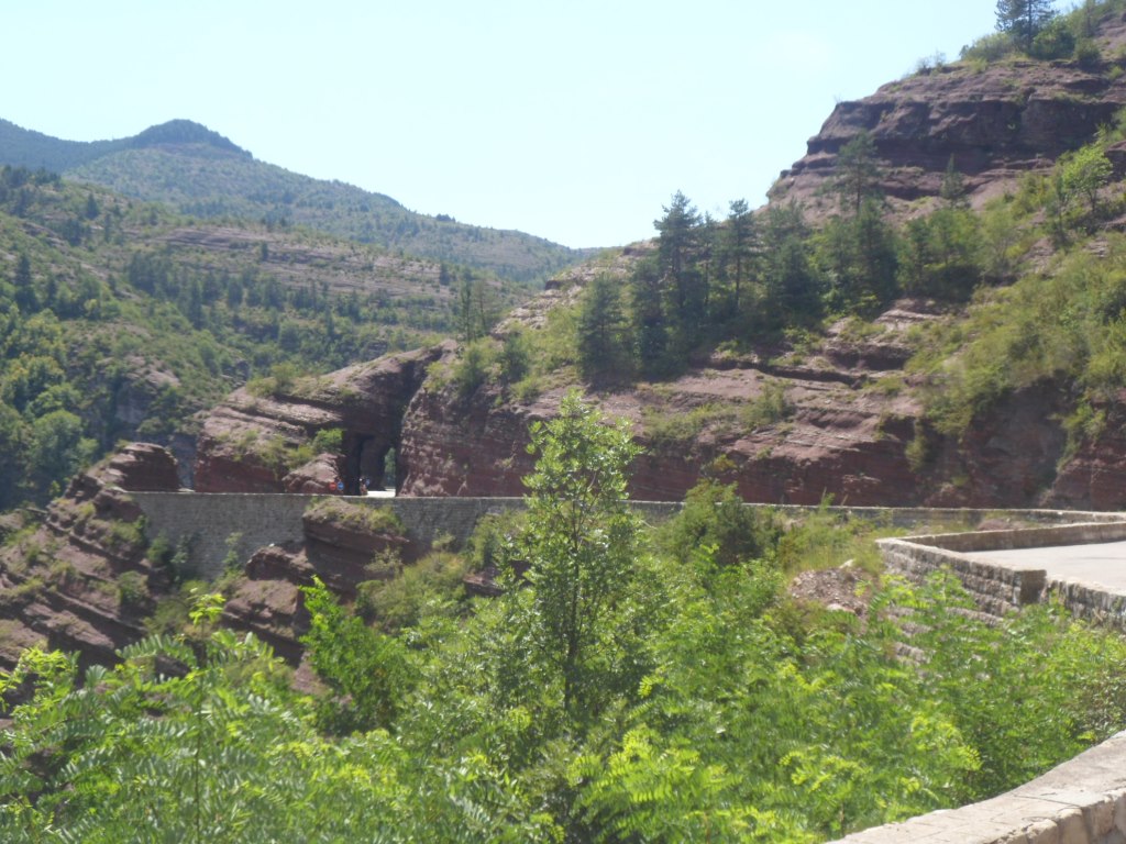
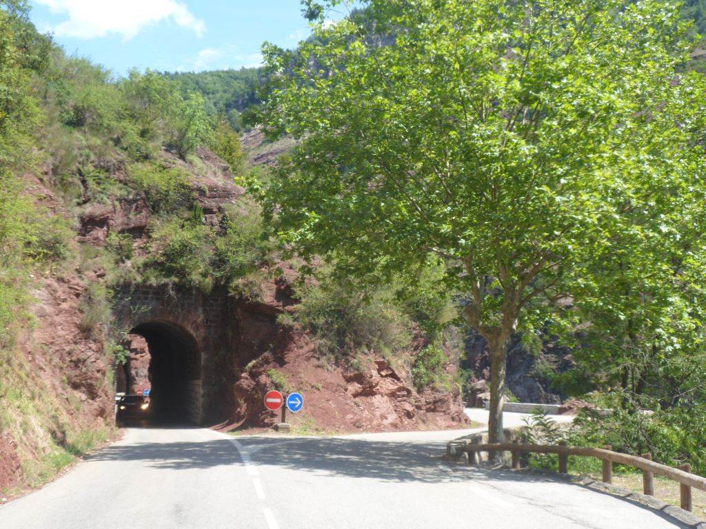
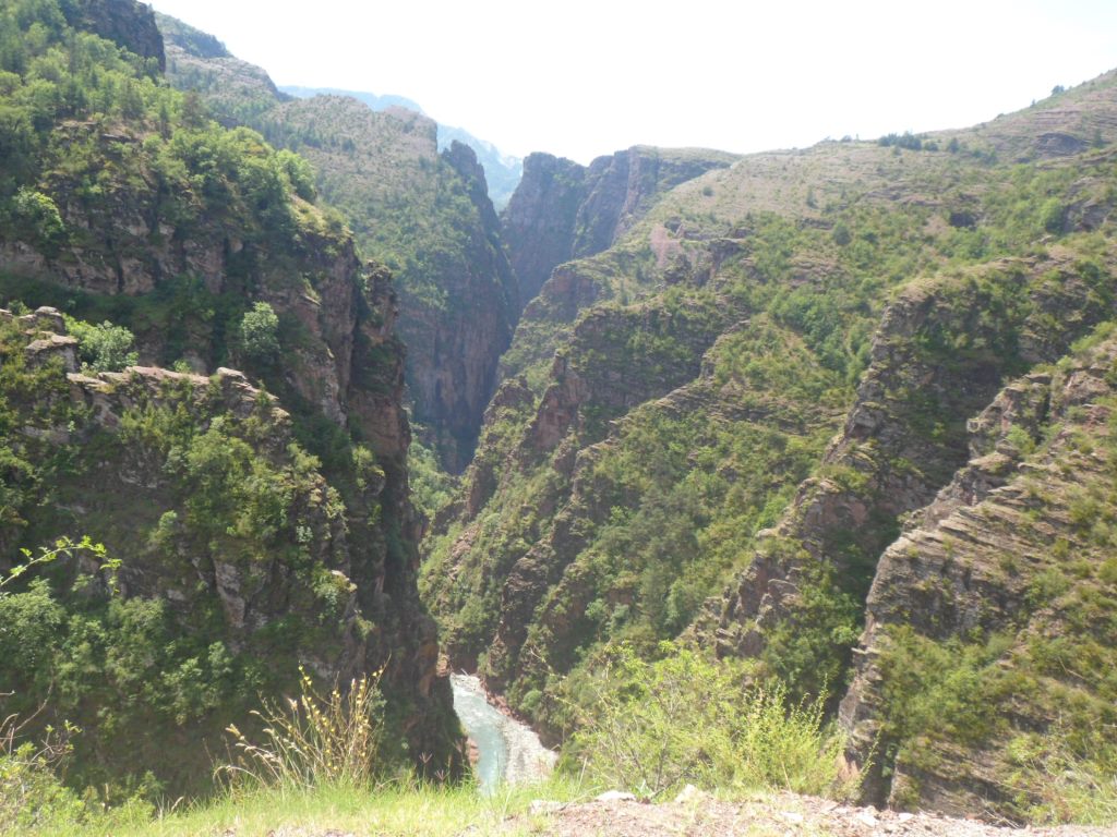
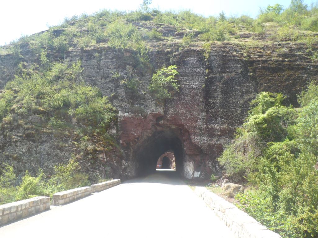
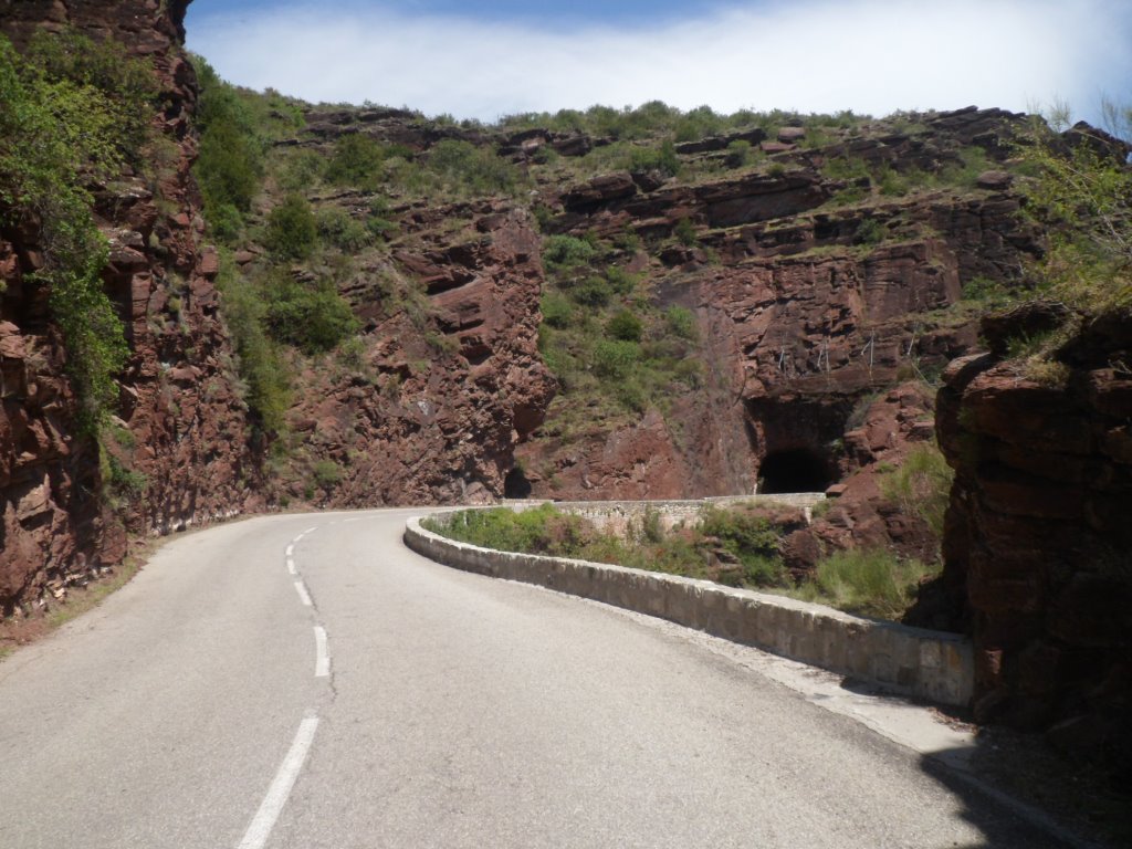
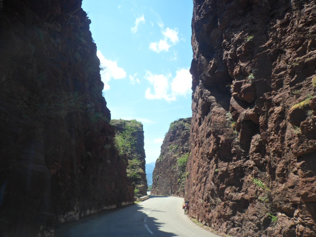
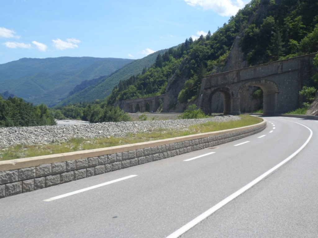
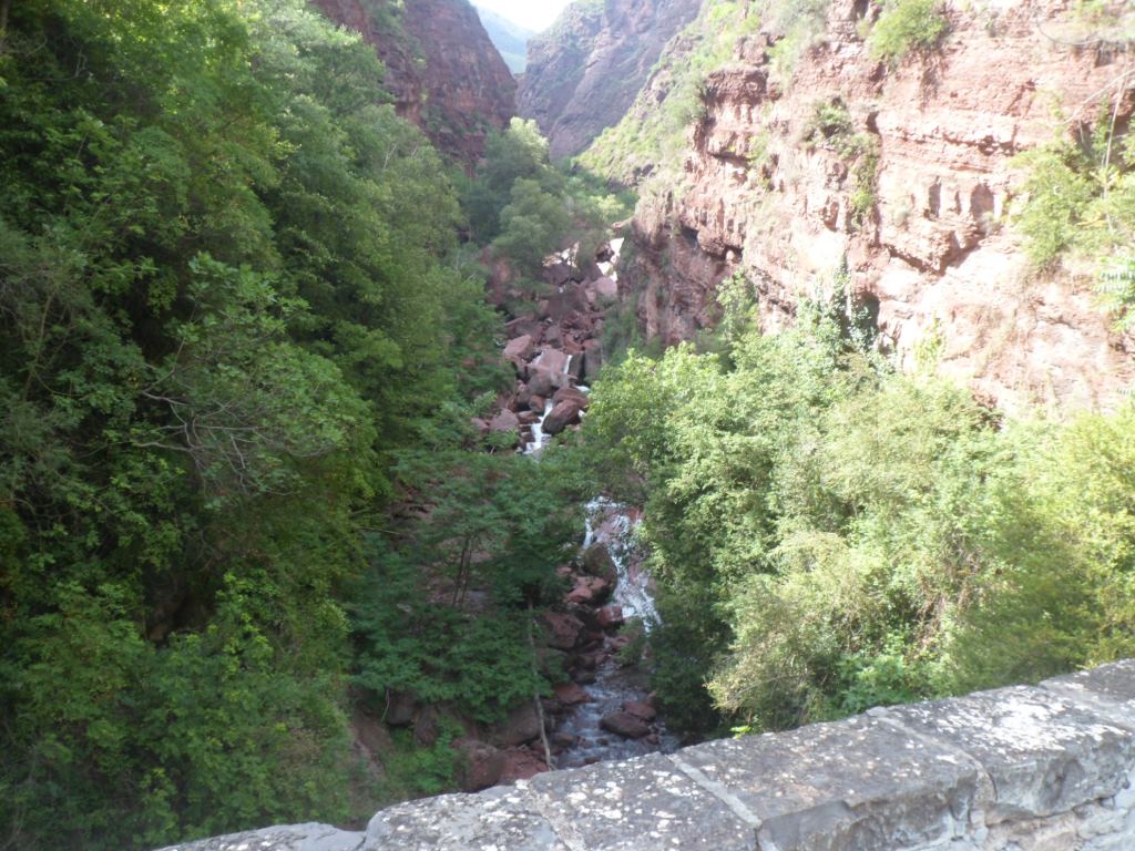
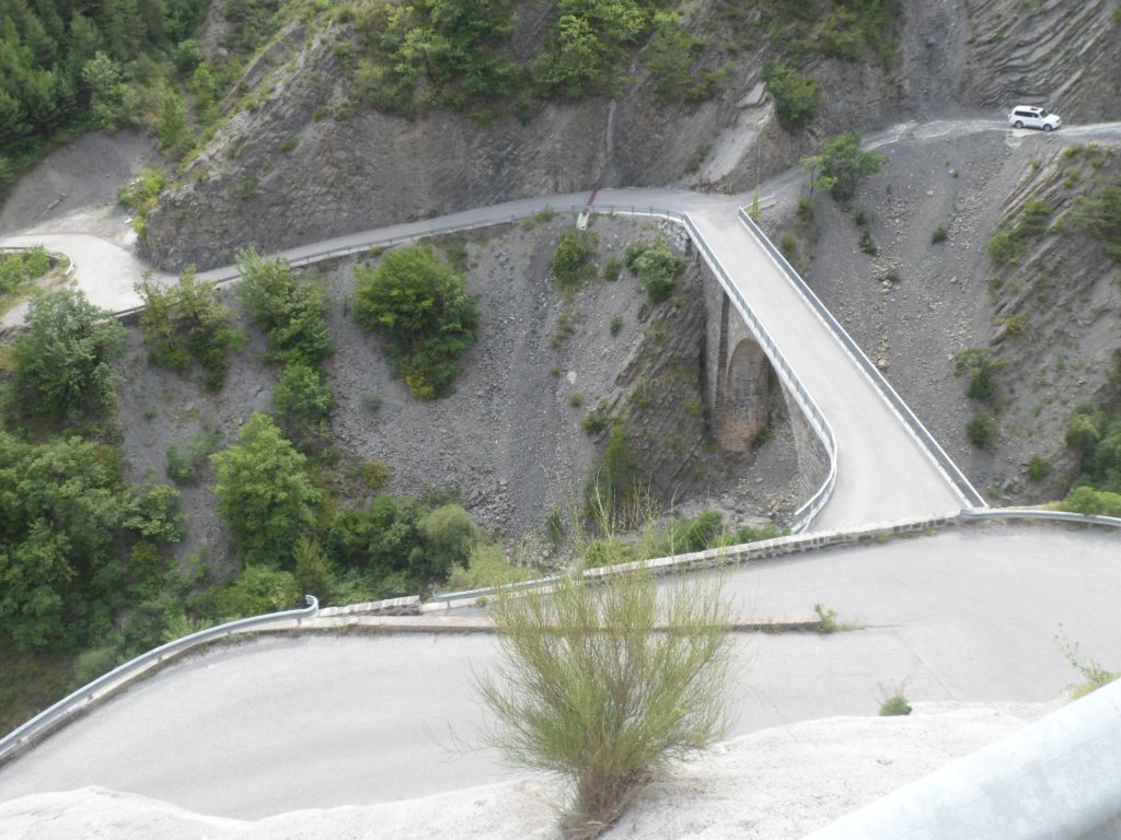
with impressive views to the valley of the Var and the mountains around. Some quite impressive steep sections too – no speed record though. From Guillaumes I don't risk the small road on the other side of the river (I could have risked it, I learn later, were it only for 2 km) and follow the slightly up-going 'main' road to the Gorges de Daluis. It's around here that I decide to skip the Col de Saint-Léger (again), let alone the Col du Fa (both partly unpaved, both probably very steep too), and take the time to take in all the good views that this famous red canyon of the river Var offers. In the beginning the Var lies very deep below the road level – from a bridge you can bungee jump 80 m deep. I go at a leisurely pace, make many photo stops, and make several loops at places where the road splits into two one-way lanes. The road down, which is my direction, counts seventeen tunnels, the road up only contains ten. People I meet later for this reason were recommended to do it (by car) in that other direction.
|
Gorges de Daluis
|
|
Amazing day!
|
|
Amazing!
|
|
Awesome!
|
|
|
|
|
|
|
|
|
|
|
|
|
|
|
|
|
|
The end of this fun
|
|
Back at the level of the Var
|
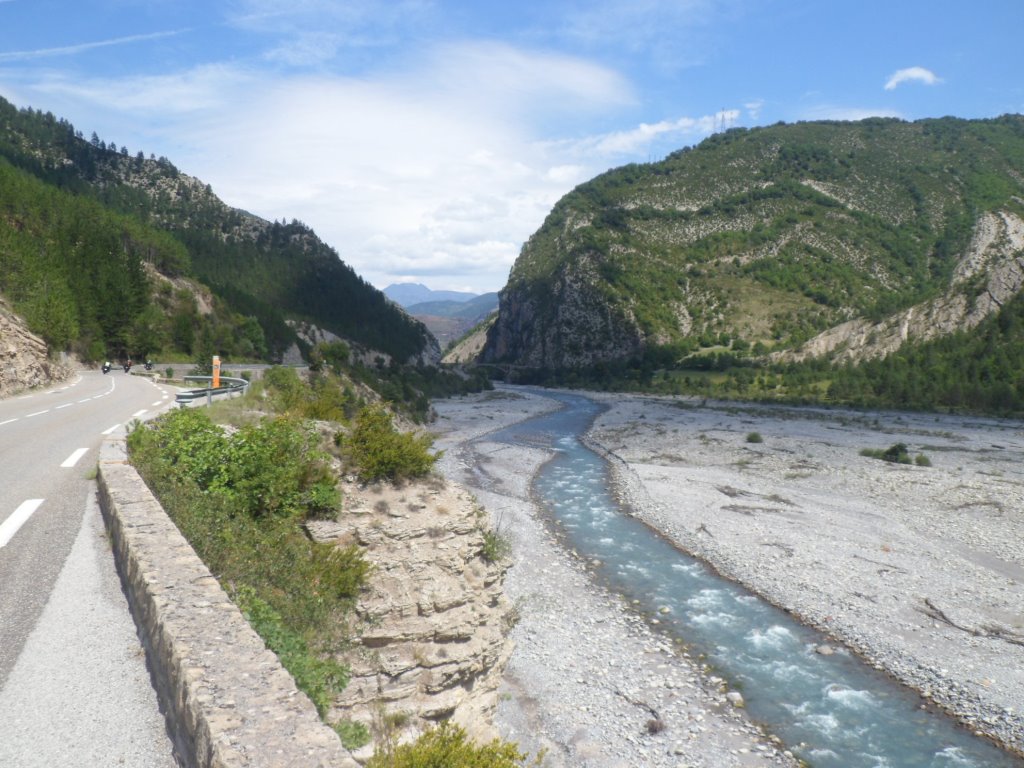
After six km the greatest fun is over, but the road descends, so against the wind I can make good pace – there's quite a distance to cover still. I pass the bridge to the east/left, the road to
Saint-Léger. Further south there is a junction to the right/west at a location where I guess the Col du Fa must be situated, but like the Col de Saint-Léger this col also isn't mentioned.
|
The bridge 'to' Saint-Léger
|
|
Shortly before the Route Napoleon
|
|
The D4202 along the Var
|
|
View up from my coffee corner
|
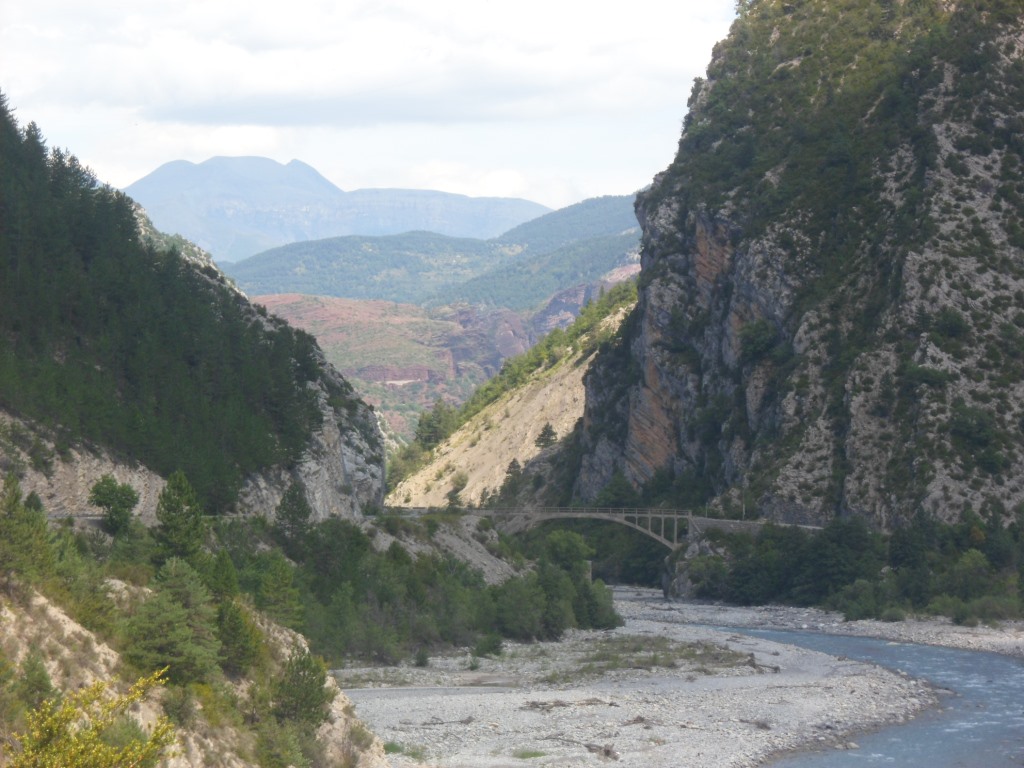
It would be nice to continue till Puget-Théniers, but I feel my forces slip away, and on the D4202 (ending around Nice, some 65 km further) I still have the wind in my face, so I decide to rest a while in Entrevaux, overlooked by an old church (or is it a monastery?). I have my first coffee of the day. I'm definitely not in such a good shape as two days before, and feel a slight apprehension regarding the upcoming elevation gain of more than 1000 m. The next seventeen km I'm helped by the sycamore trees along the road both against the wind and also a bit against the sun (though it's not that hot). A colleague of mine always claims that these trees are a contribution of the Romans, who planned and planted these trees to offer shade to their marching armies. Well, thank you guys!
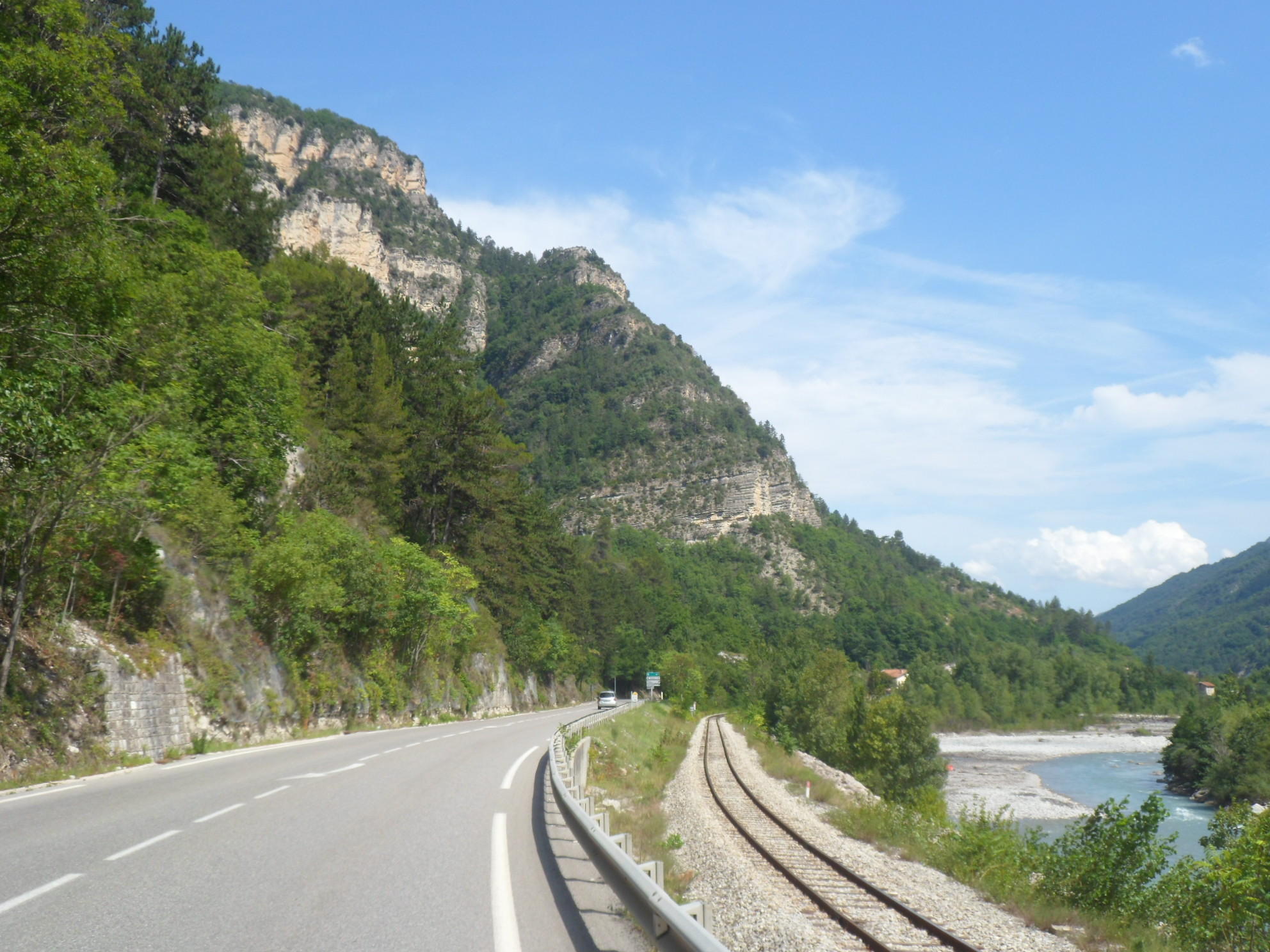
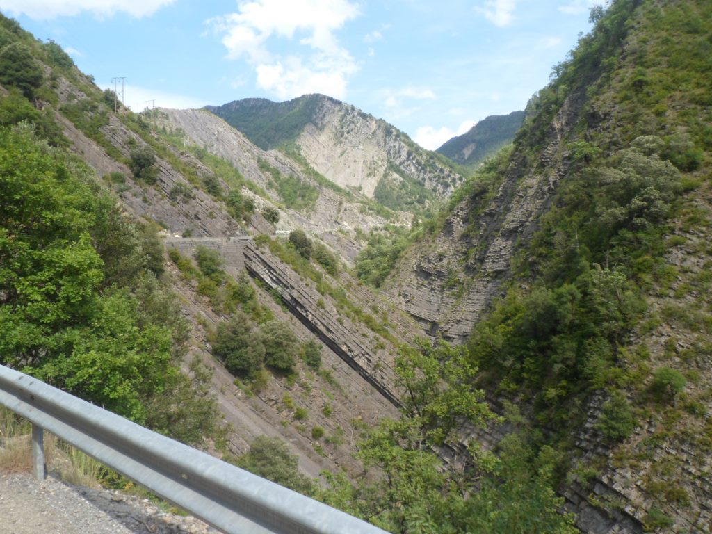
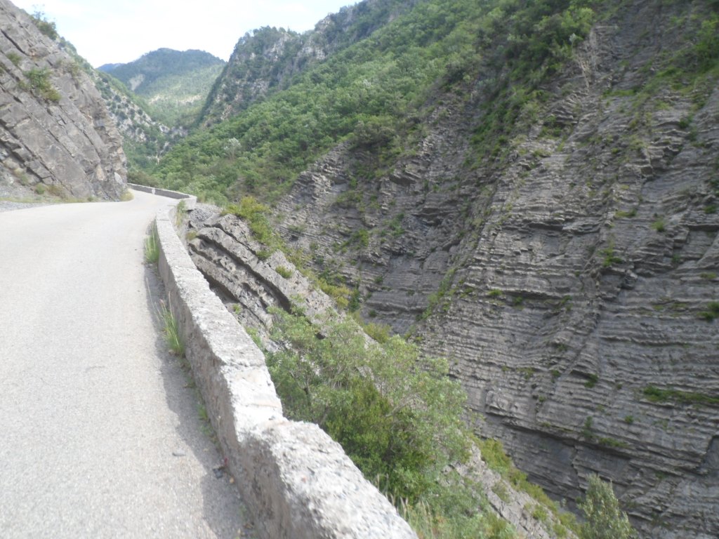
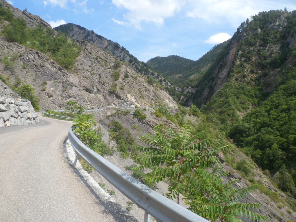
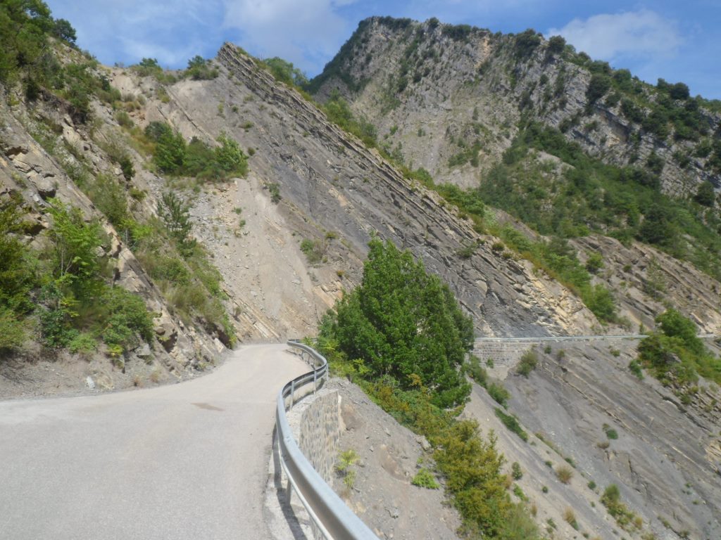
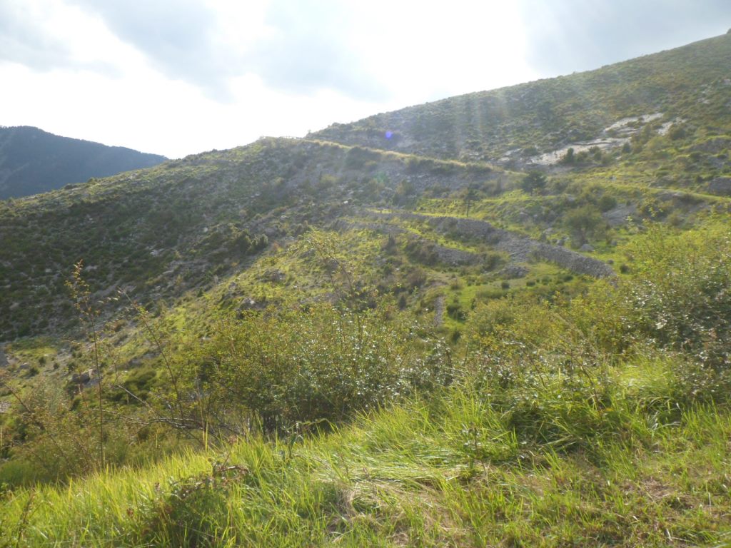
I'm glad when after this (relatively!) boring stretch I can turn left into the valley of the Cians. The lower parts of the Gorges du Cians, where the rocks are white, are rather impressive also, very impressive! Shortly before the 'red' part I turn right into the rather straight valley of the Pierlas, the only 'new' road of today (in fact, since Châtillon I have hardly been on unknown roads). Twice before I planned it, but skipped it, this D428. In 2001 (?) because it seemed so very hot then (and the Gorges and Tunnels du Cians would offer shade), and I thought it would be unpaved around the Col de la Sinne; in 2008 because it was hot, windy and I had already the Col de la Lombarde behind me. The first part is super: the gradient is 5%-7%, so it goes up reasonably fast without being too hard, and the wind helps too. After a while intriguing rock formations attract my eyes. They consist of different dark gray layers tilting an angle of about 60 degrees compared to the horizontal. After 3 km the road turns to the north and the climb is getting more irregular.
|
Helped by sycamore trees
|
|
Almost at the junction with the Cians
|
|
The lower Gorges du Cians . . . . ↑ ↓
|
|
. . . . ↑ ↓ quite impressive too
|
|
. . . .
|
|
. . . . very impressive indeed
|
|
Getting sight of the red part
|
|
The road to/along the Pierlas
|
|
Farewell to the Cians
|
|
Narrow D428
|
|
↑ ↓ Interesting rock formations
|
|
. . . . ↓ ↑
|
|
|
|
|
|
In the bend where the road turns north . . . .
|
|
. . . . and climbs to a passage with hairpins on top of each other
|
|
Oncoming hairpins
|
|
View after a few of these hairpins
|
|
View back
|
|
The road behind/above Pierlas
|
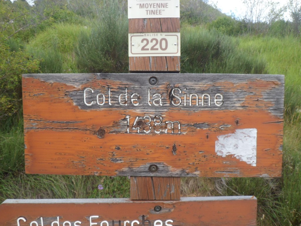
Pierlas (the village) comes into view, and the road rising further above it. I miss the signs along the road with col info! Around Pierlas (again: the village) the road gets steeper. I like to know my present altitude (now – at home – I see that Pierlas lies at an altitude of 1020 m). The road goes around the village, and there is at least one indication of what's still to do: 5 km till the Col de la Sinne. I look ahead to see if I can discern the location of the pass. High up I see a relatively low point, will it be that high?! I haven't much stamina left. After an hour in the open now I get into the woods, the road stays pretty steep, and then there it is, not at the high point I spotted, the quite worn sign "Col de la Sinne 1436 m".
|
Pierlas . . . .
|
|
. . . . before and after
|
|
Pierlas far down
|
|
It's in the pocket!
|
|
The descent from the Col de la Sinne . . . .
|
|
. . . . another (hidden) treasure
|
|
Rather desolate road
|
|
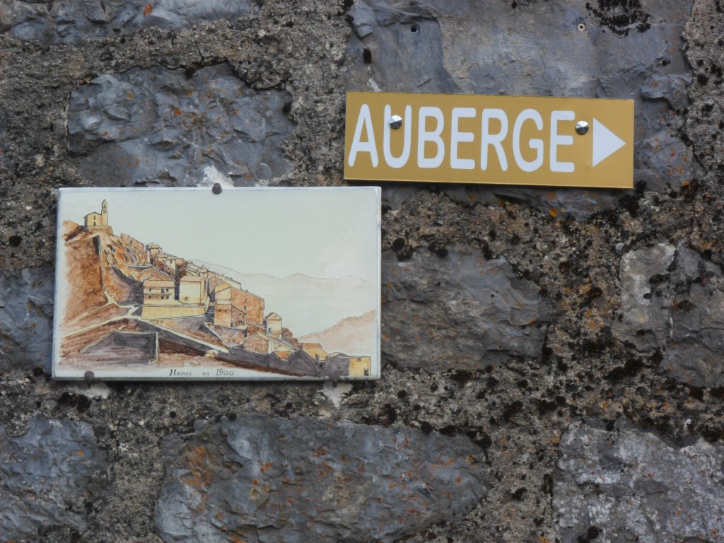
Ilonse
|
|
Beautifully located Ilonse
|
I have the feeling that it's already quite late, but for a while I still don't want to know how late. The road till the first village, Ilonse, is rather worn too. Like in 2008 I make a short sidestep into this small, isolated mountain village, which has grown spectacularly from 55 inhabitants in 1982 till 153 in 2008, for a beer. In town, in really the steep main street, there's a jeu de cubiques going on, a rather unpredictable 'square' version of jeu de boules.
|
Short break in Ilonse
|
|
Jeu de cubiques ?
|
I find out that the many warm hours have not been very favorable for my pâté. And that I won't make it back to Sain-Sauveur before seven. The descent, is beautiful, spectacular, exhilarating! Down along the Tinée I'm called twice by the gardienne of the gîte, whom I've texted yesterday evening that I will be 'home' between six and seven. I text her again that I will be there ten minutes later.
|
Remaining part of . . . .
|
|
. . . .
|
|
. . . . an absolutely incredible . . . .
|
|
. . . .
|
|
. . . . marvelous day!
|
|
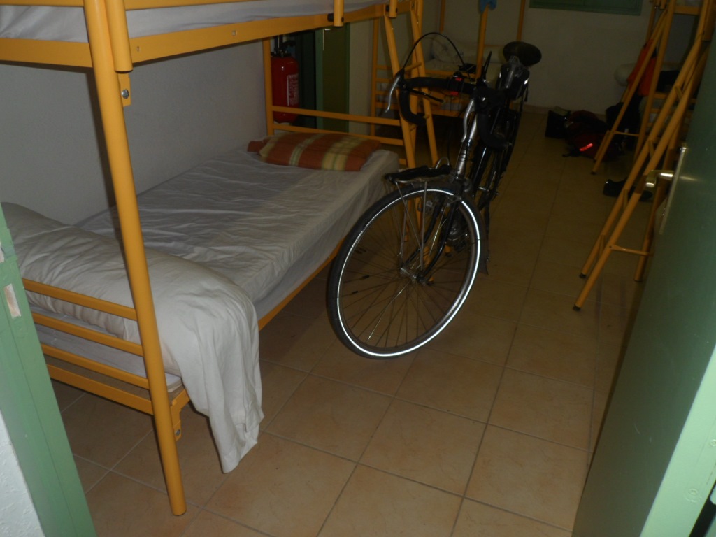
Just one roommate for tonight
|
Today it looks I'll be the only guest in the gîte, until, around 8, still in my underpants after a shower, I look down from the kitchen window and notice two people that look a bit hesitant. They are Peer and Angelique from Brabant, on their way in a gardener's van, not understanding the pamphlet at the entrance. I 'invite' them into 'my' home, they 'accept', and we have rather a sociable evening.
↓ ↓ ↓
→
Next day
←
|
|