Tour of North-West Spain,   13/07/2013 - 05/08/2013

Part 2:   Arrens-Marsous   →  Arbejal


  17-07-2013     Arrens-Marsous – Jaca     125 km

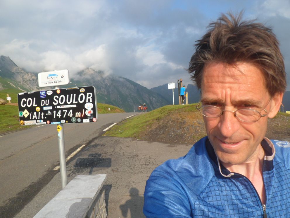
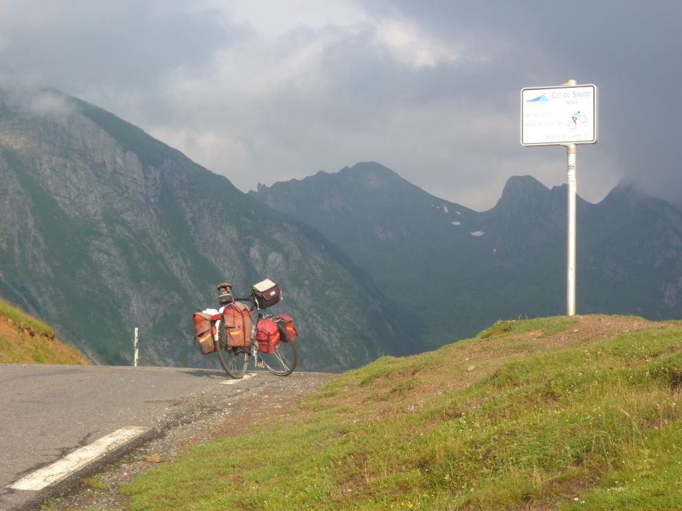
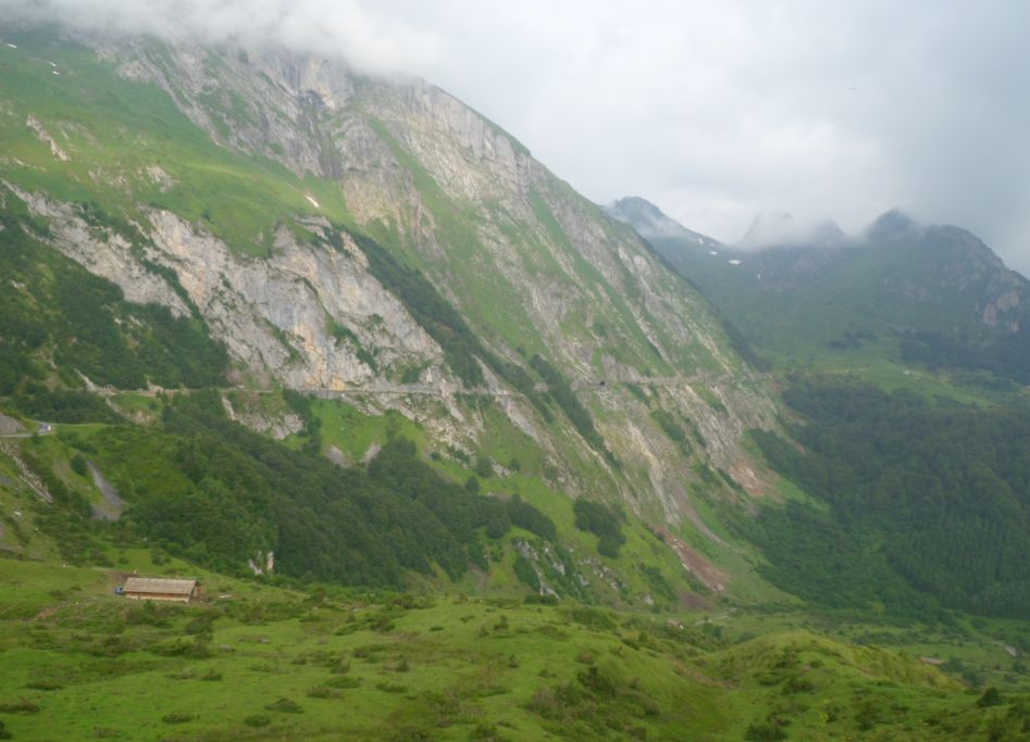
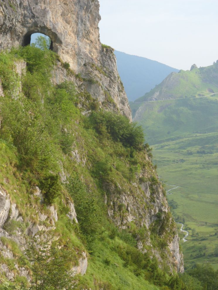
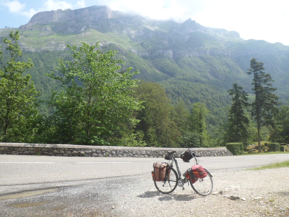
Breakfast at 7. The big group is about to leave, the threesome from the Vendée arrive one by one as I'm filling me up with coffee and cereals. Departure shortly before 8. The weather: not too thickly covered, so maybe I'll finally come to see the Cirque du Litor and the deep ravine. The very regular climb (back) to the Col du Soulor, 7 to 8 % almost all the time, goes slowly but smoothly. The sky clears, and the views from the col are GREAT.


Back on the Soulor


View to the west (weather wasn't that bad!)


Between Soulor and Aubisque


Yesterday's road to the Soulor
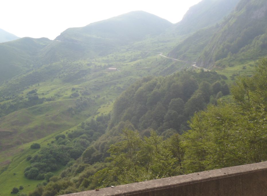
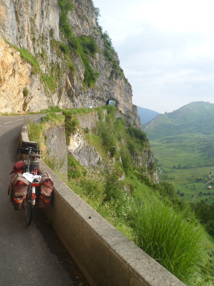
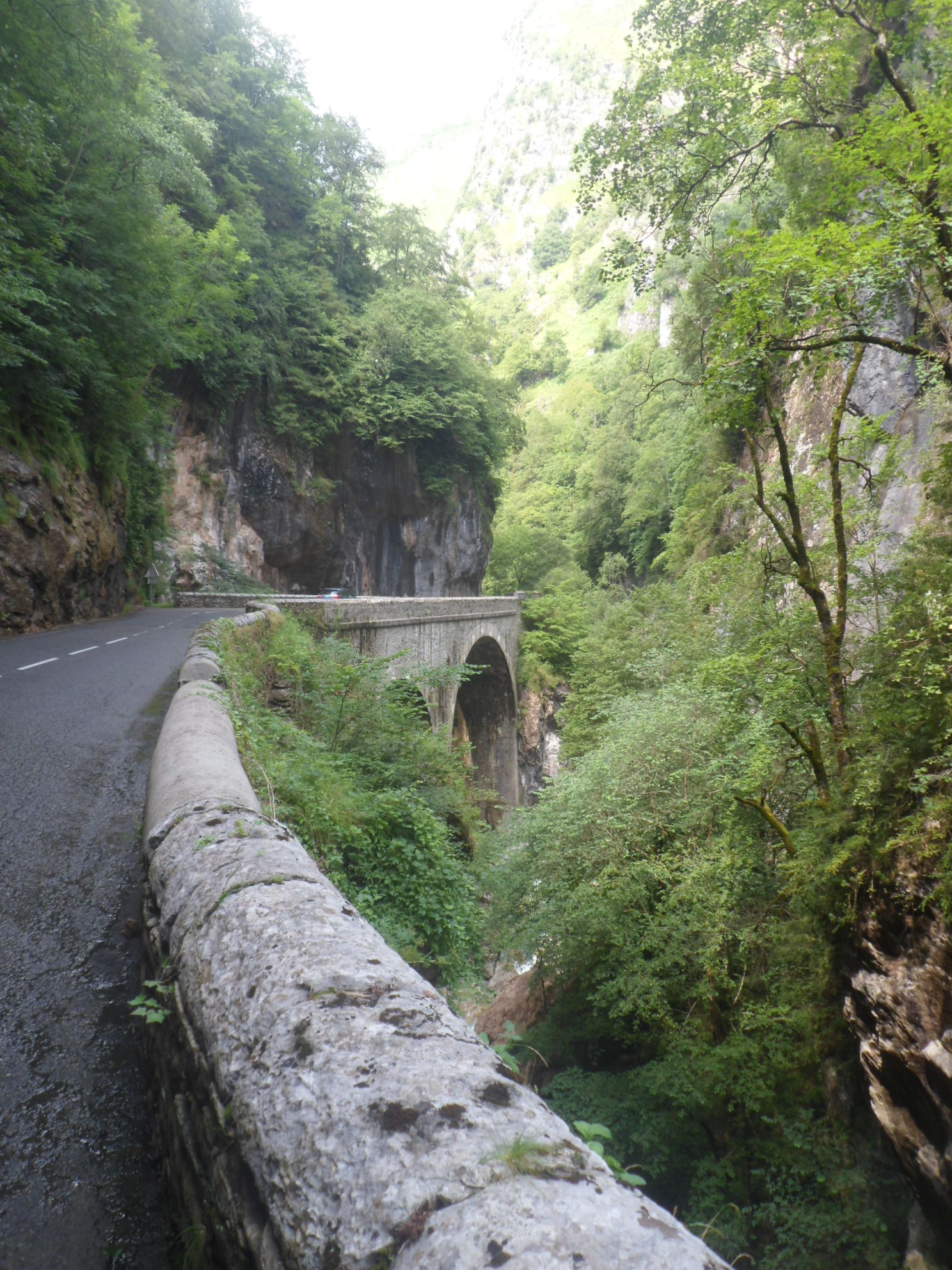
The road following the steep slope, with to the right the abyss: LIKEWISE. First it descends till 1350 m, and then up some 350 m in 8 km, that shouldn't be too hard. The views to the north, where I can clearly see the route up to the Soulor I rode two days before, neatly curled around the mountain, the view up to the Col d'Aubisque, all very nice! At this second col I have a chat with a cyclist sans from Belgium who rode up just a little faster than me avec. The descent is . . . woww! How Gourette (many randonneurs à pied were talking about it) lies there, embedded in the mountains . . . WOWW!!


View back


Nice road


bis


Descent from the Aubisque


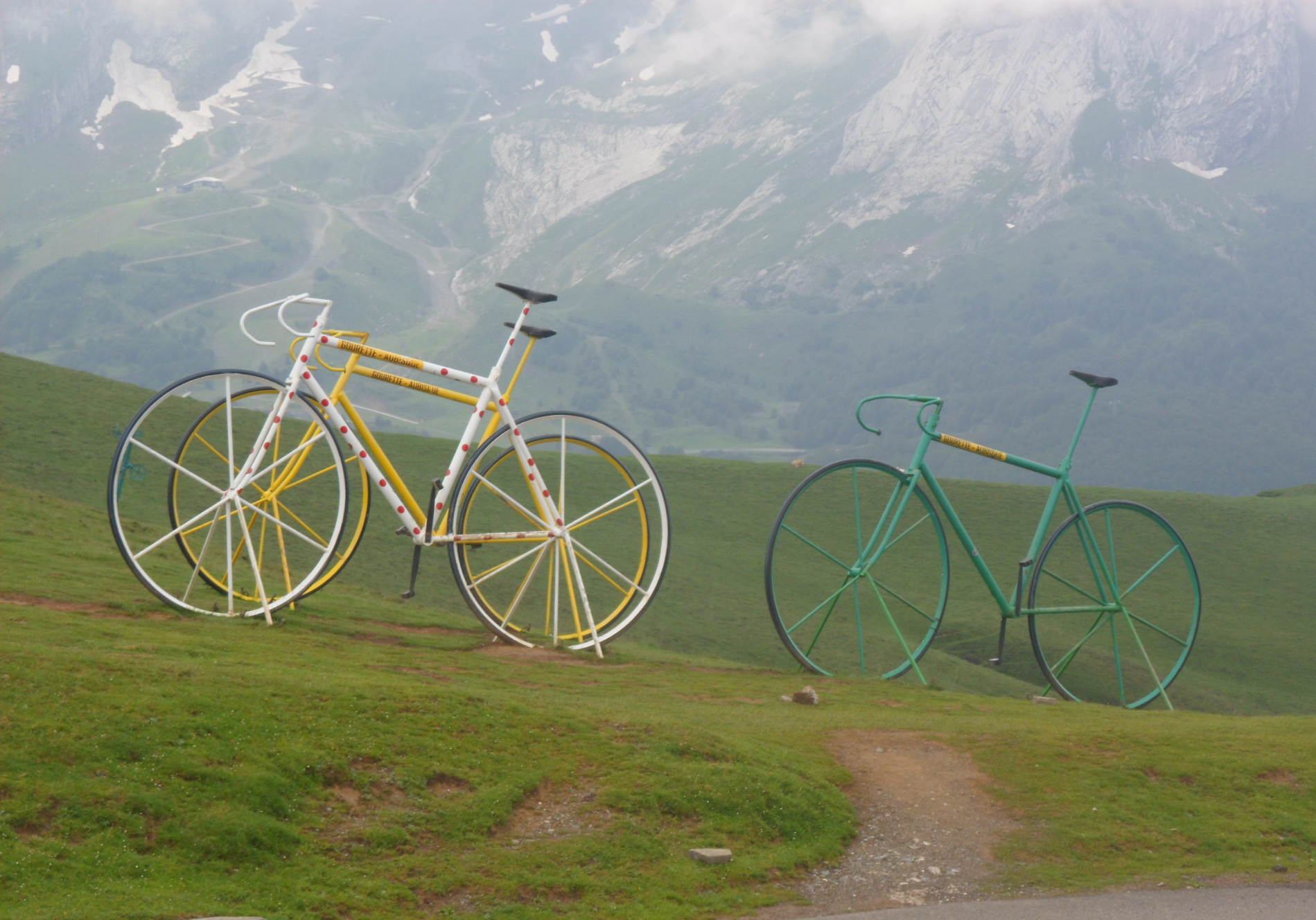
Artist's impression on the Aubisque


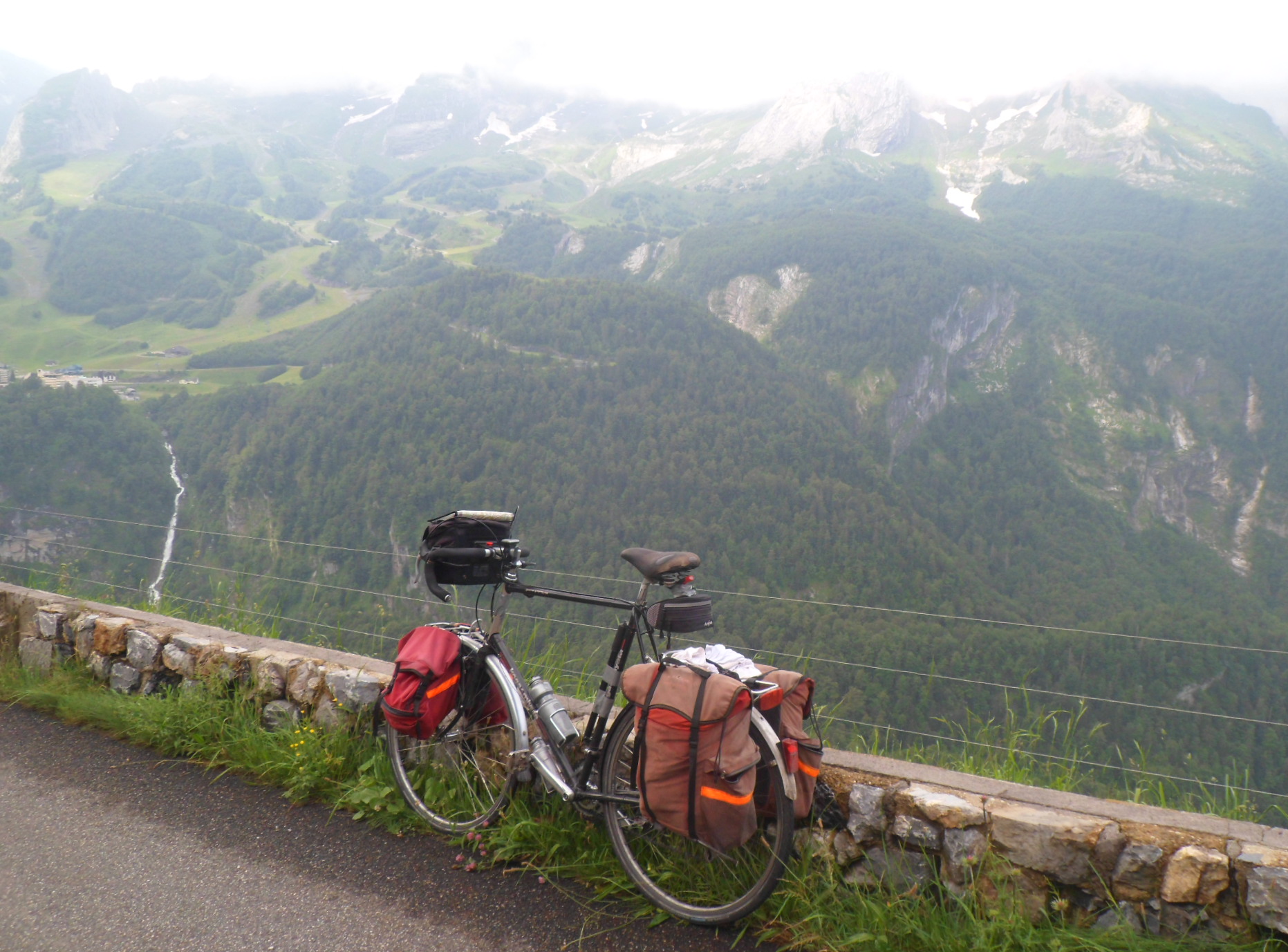
View down onto Gourette

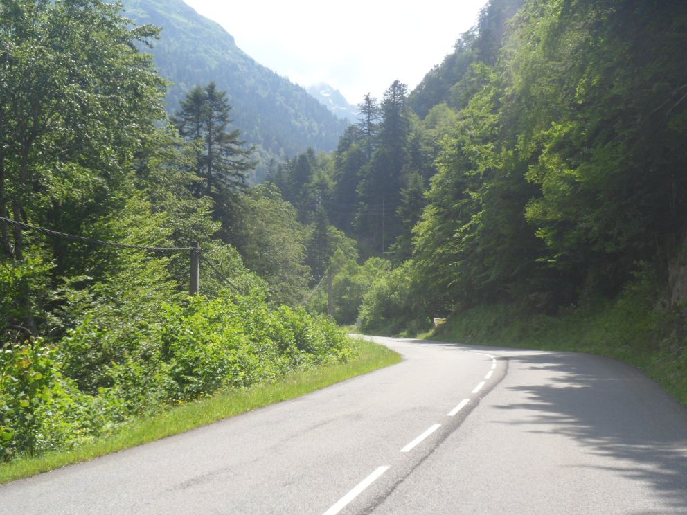
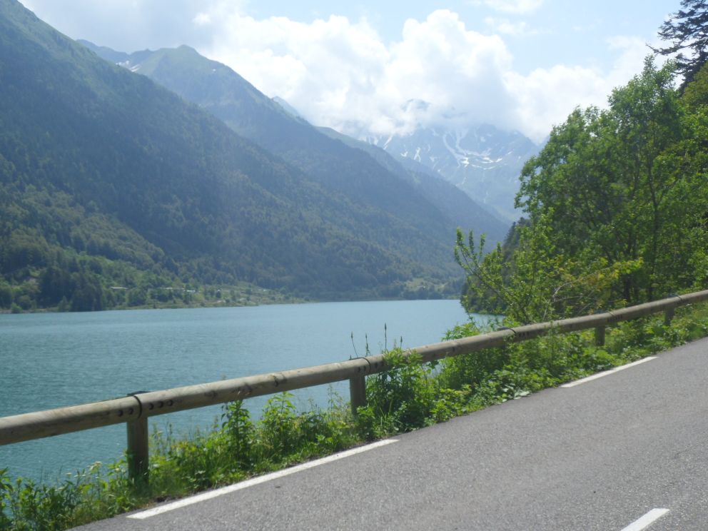
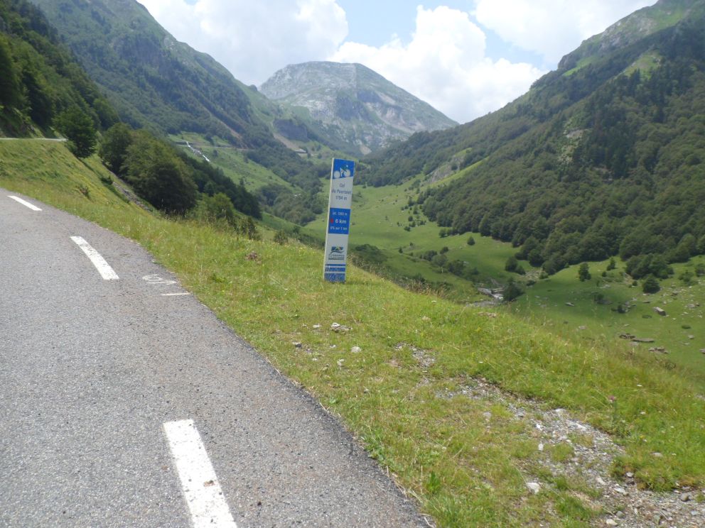
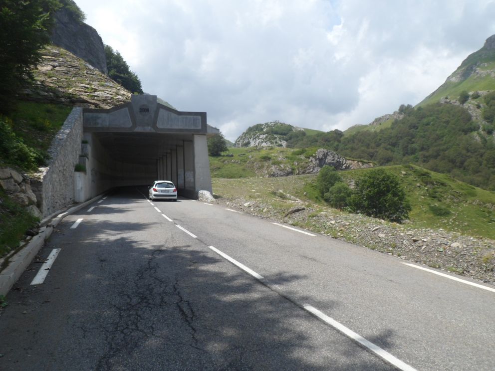
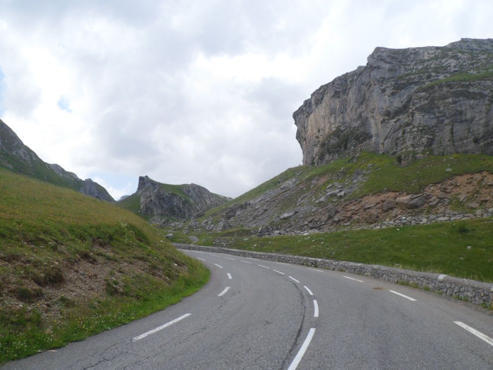
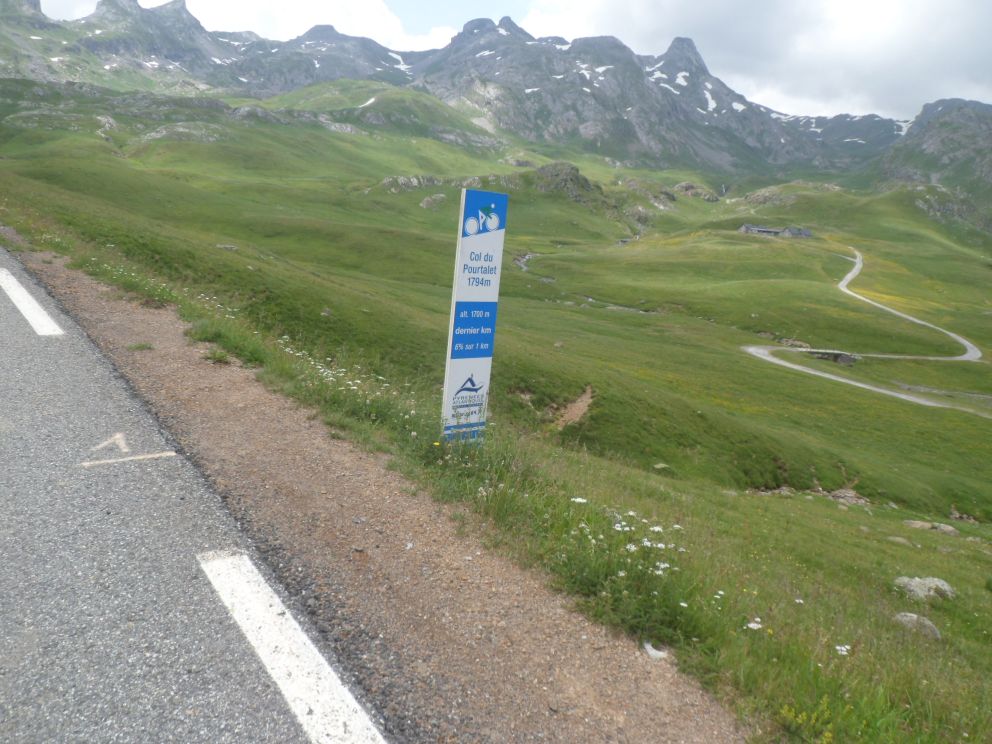
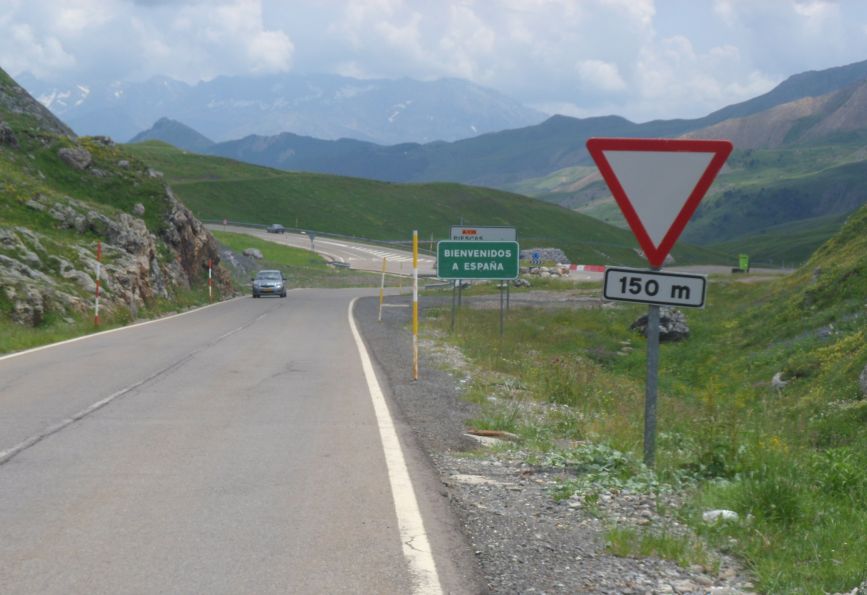
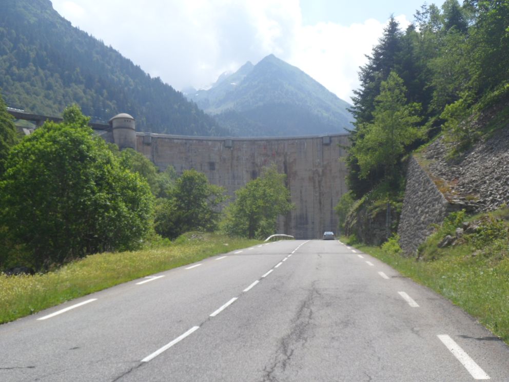
The village itself, mwah, rather touristic . . . so I can buy a map of a part of the route I missed. There's an artificial climbing wall in the middle of the village . . . is that necessary with so many mountains around? I continue the descent since in the afternoon another long climb is awaiting me. Nice descent, with impressive views back up to Gourette (invisible during the two former occasions), and, nice weather too! In Laruns it's summer! I have a nice long sunny! break with coffee and pastry and many cyclists around. I try to change some Swiss franks, but the two banks I enter (and waste some precious time waiting) only want to do this for customers who have an account at the bank. Then the last 29 km in France, slowly, slowly up (1250 m in all) to the Col du Pourtalet - well, not slowly all the time. It's sunny, in the beginning a bit warm, but there's shade, and higher up it's just perfect. After 10 km I take a short break to enjoy a can of coke while it's still fresh (the drink ;-). Beautiful ride, beautiful road, just as I remember it from my tour in 2000. Well, I had forgotten about the steep section up to the dam keeping the Lago de Fabrèges in its place - and also about the lake behind it. At the windy top I find that - even at this altitude - Spain is cheap! (Thirteen years ago I still had to pay in pesetas.) I have a chat with a Dutch girl who is walking from the ocean till the Mediterranean. I'm welcomed in Spain/Navarro on what looks like a 1700 m high motor way.


Lovely climb to   . . . .


. . . .   to   . . . .


. . . .   to   . . . .


. . . .   to   . . . .


. . . .   to   . . . .


. . . .   to   . . . .


. . . .   to   . . . .


. . . .   Col du Pourtalet


. . . .   which brings me into Spain


Windy sidestep

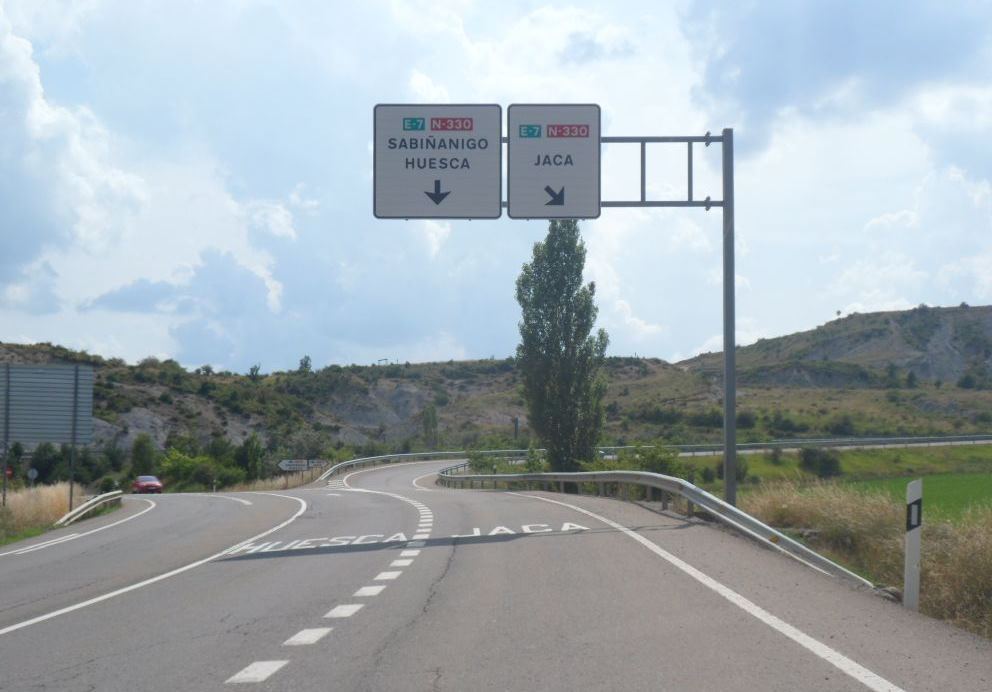
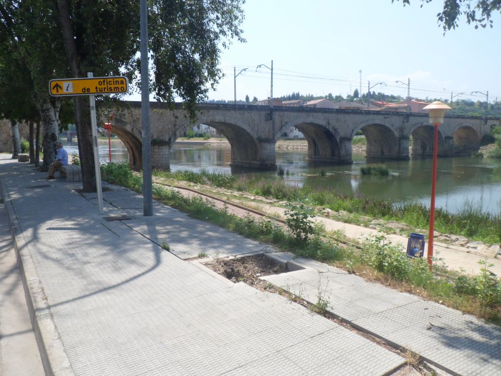
In the beginning my speed is quite high, but soon the road flattens off, and it's just a long sunny but rather boring descent. At lower altitudes the wind from the south west slows me down further, and it seems the last 20 km to Jaca may give some hard work. Moreover, on the map it looks as if this section might be a real motor way. So I decide to make a sidestep into Sabiñánigo, also because it's time for a beer. In a bar I have my first chat in Spanish. The main topic is the Tour de France, of which I can see twenty minutes of the time trial in which it appears Bauke Mollema is going to lose his second position in the classement général. From Sabiñánigo it's another 20 km against the wind (but perfectly flat) to Jaca. In Jaca I pass the ice dome, which even seems to be open in the summer . . . what a waste of energy!! Jaca is quite a nice town, with an old center free of motor vehicles. There's an oficina de turismo where I get a few adresses of hostels, and a recommendation for the Skipass Hostal. This seems a good place to be, 35 euro for a room + breakfast is okay for me too, and Koga can be put inside. There might be some noise in the evening because of a group of 'youths', who are now doing activities in the mountains, but the 'boss' assures me that won't last till after twelve. I shop around a bit, not yet on the look-out for a novel, but I need a look at a map for a gap of (at most) 10 km between the maps I will use tomorrow. As there's too much choice in restaurants (and many start too late for me) it takes some while finding a place to have dinner. I finally find one and have a menu chatting with two Frenchmen at the table next to mine. (A couple that arrive with me, I think they are from Belgium, look very surprised - and unwilling - when I suggest we might share a table ;-)   It's getting dark when I stroll back to the hostel, and after some looking at the map(s) - I really have no fixed plans for the next ten days - try to sleep, in which I, albeit the loud talking and running and laughter, finally succeed.


  18-07-2013     Jaca – Pamplona     155 km


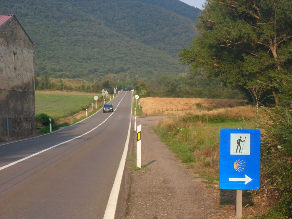
On the road again (to Santiago)


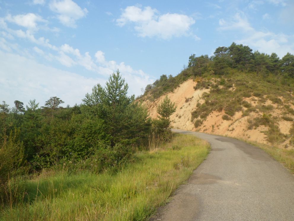
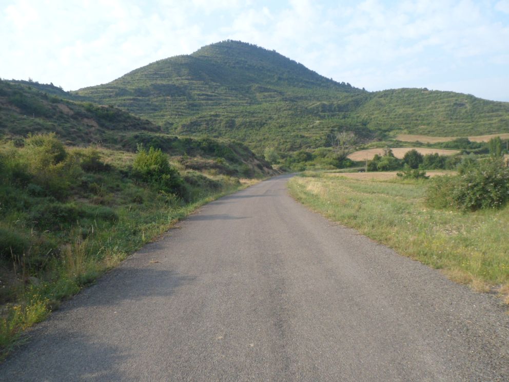
Nice quiet roads


Nice, nice


Lonely break

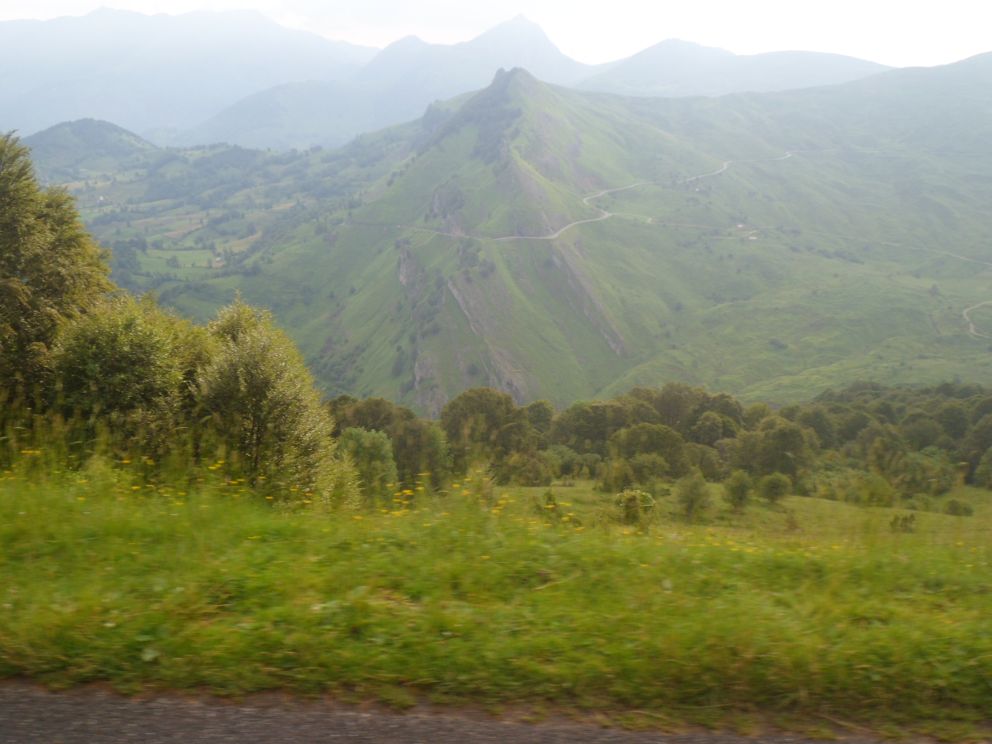
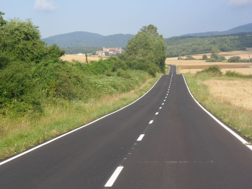
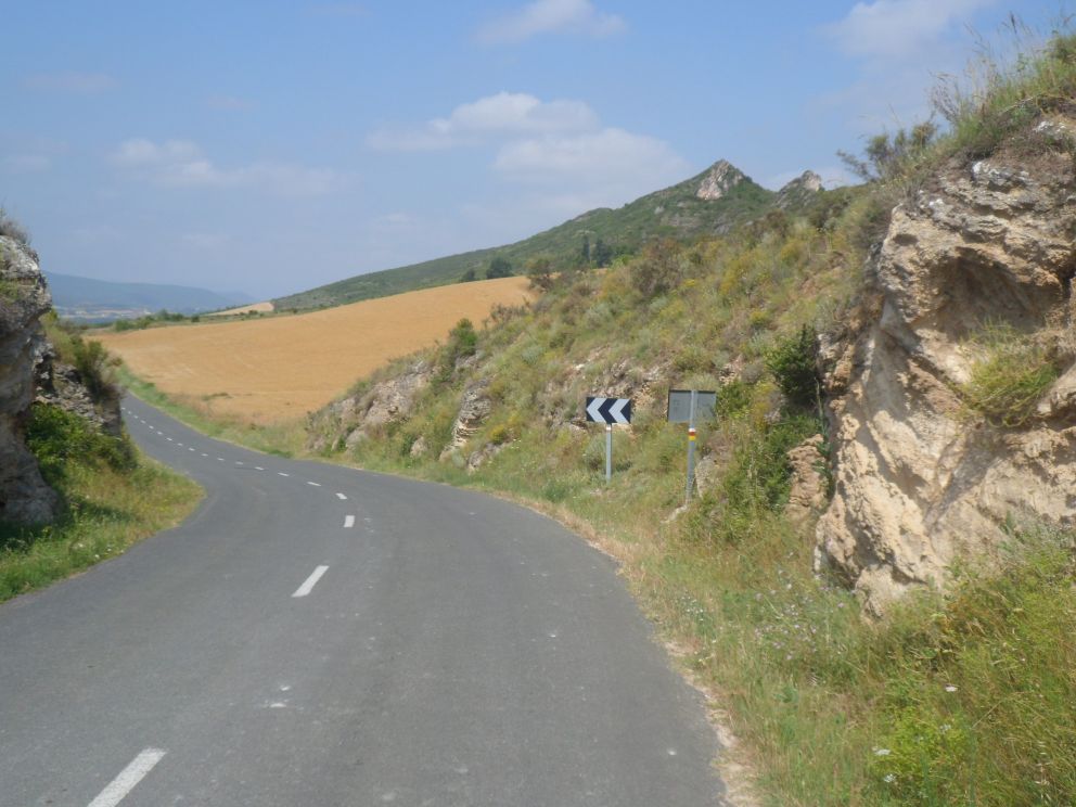
Alarm at 6:50, breakfast at 7. Breakfast is .... Spanish .... minimal: small cakes and cookies in plastic, cheap orange juice. The coffee is good, though, and my cup is refilled (at least once). The friendly manager's forecast regarding the temperature comes out correct: it is (feels like) 15-20 degrees. Jaca is quiet still, it's also rather small, so even for me it's easy to find the right exit (I do already fear Pamplona, which I suppose will be today's destination, and which will be much trickier to escape from). First I follow the N-240 westwards, which is rather quiet too, owing to the early time (is the new - according to my map - motor way that runs parallel to it already in use?). The road is part of the Camino de Javier (or one of the alternatives), which amazes me: it must be very boring to follow on foot a track along an N-road. The cars that do pass by do so at a high speed, a circumstance I'm not particularly happy about. This road would take me to Pamplona in 100 km. However, when after 13 km the turn to the south onto a very tiny road arrives, the greater pleasure starts. A very curvy up-and-down going road (more up than down), VERY quiet - apart from bird sounds -, through Alastuey, through Bailo, where the road is so not-through-going I get mixed up which route to take, to Larués. I ride through an open, hilly landscape, with a lot of agriculture on the slopes. On the map Larués looks like one of the bigger villages I'll come across, and indeed there is a bar, open, but not with much food (more chocolate cakes in plastic!). I'm warned that for miles and miles I won't find any shops.


Stupid new road
+ remnants of old one


Sos del Rey Católico


Unexpected nice intermezzo:  


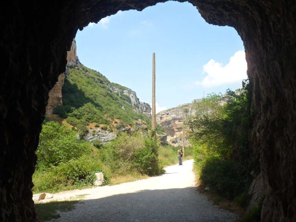
Through a tunnel to:


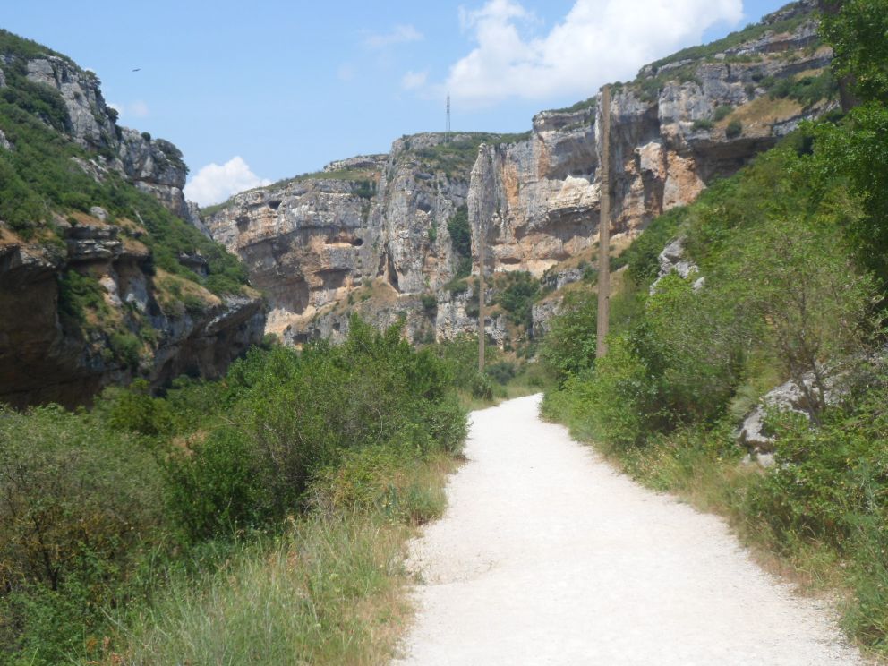
Hoz de Lumbier

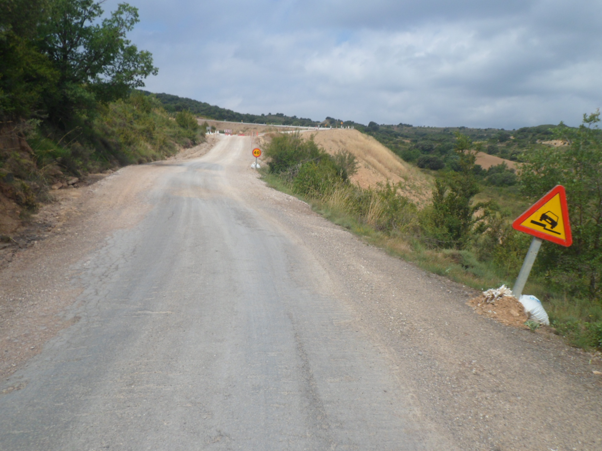
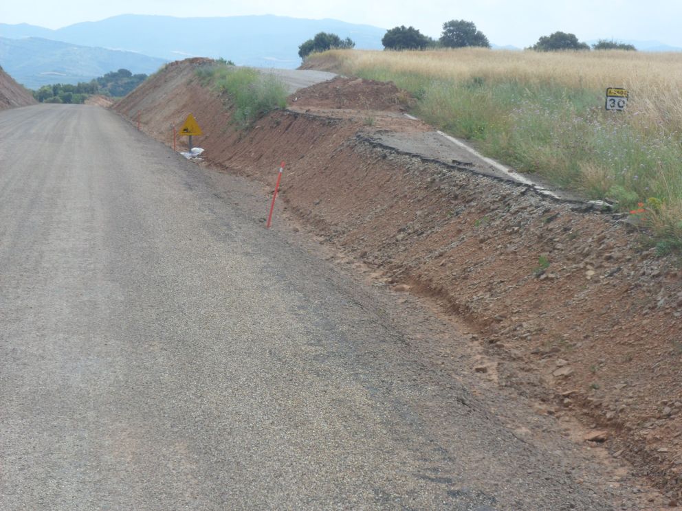
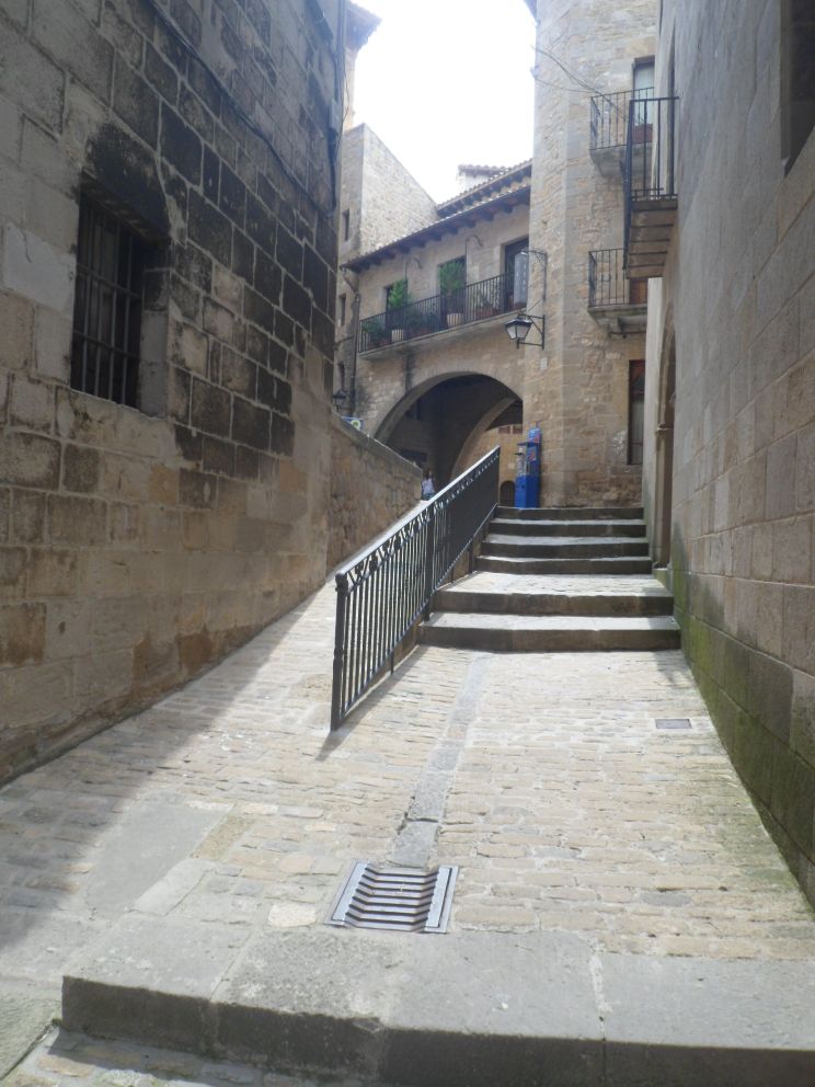
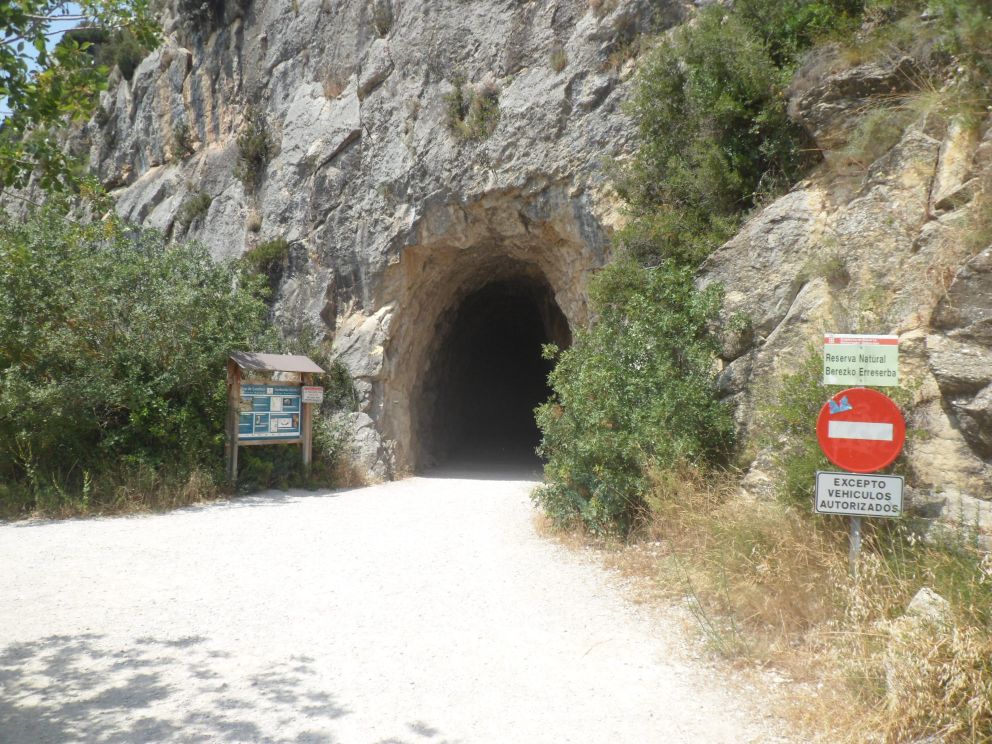
After this coffee break I enter the map 'Pyrénées Occidentales' and don't understand the new large road that seems to be constructed here (in this area where there's hardly any car!). Someone has liked to dump a large amount of asphalt, much straighter than the original road, but why?? After Pintano I'm forced onto this road - with loose gravel on it, and going up quite a bit, my rear wheel frequently slips, and for quite a long while I'm gaining altitude. Every now and then the curvy road bumps onto this new monster, but these sections are brutally made unreachable. The last few kms with the slope up at my left are a bit easier. Though the gravel is certainly still quite loose it seems that there hasn't been worked upon this senseless road for quite a while; there seems to be winter damage even before the road is officially opened. (E.g. there are still no linings on the surface.) What a waste of manpower and money (and asphalt). The junction with the A-1601 is at the highest point of the day, I guess, looking backward. Indeed it starts with quite a descent, during which I leave the map. The first village I meet is NOT Sos, as I had expected (from the peek at the map yesterday evening). And even from the second village it's still 10 km. Will there be shops in Sos? Will at least one be open? A slightly awkward surprise: Sos (del Rey Católico) is situated on a hill. I have not much energy left after this long solitary morning, but I arrive in the Medieval-like center of Sos well before the "hunger knock". No more fear of such a knock after a long break and a replenishment of my food reserves: there is an open supermercado in Sos. I consume half of my purchases on the staircase to a church/museum. I put on a layer of sun oil and descend from Sos, back onto the map. It's quite a distance still if I don't want to follow the main route to Pamplona. There's an 'interesting' small road on the map, possibly partly unpaved, from Liédena to Lumbier. First it's a bit tricky to get to Liédena since a bridge over the Río Irati seems closed - but luckily not for cyclists, then the first man (car driver) I ask about this road doesn't know about it, the second local (walking his dog) does, however 500 m after the village the by then indeed unpaved road forks, and somewhere I do have to cross the new motor way (no sign of it on my map - ed. 2011). My second guess leads me to a tunnel below this road, and a little later another tunnel leading to an unexpectedly nice gorge - 'Hoz de Lumbier' (where I had expected I would have had to climb a hilly range). In Lumbier I get onto the 'white' NA-2400 which leads sort of straight to Pamplona (40 km to go still). I make a sidestep to Induráin where I find a bench in the shade of a farm, fresh water 'from the mountains' and no bar. No people either, only the barking of a dog. I put on another protective layer against the sun, and descend onto the NA-2400. I miss a tiny shortcut and ride through the well-named village of Ardanaz de Izogaondoa instead. The last 10 km to Pamplona, meanwhile I ride on the NA-150, are busy and boring, and I'm tired too. I have a not very detailed map of Pamplona and a vague notion of where the youth hostel should be situated. When I think I'm getting close I phone to the said hostel and manage to reserve an habitación. With a lot of asking, especially when I'm really close!, I finally find the Calle Goroabe and with that the youth hostel. It's quite a modern building, with a swimming pool (but that's not included in the price - and it's quite late too). The garage in the basement causes quite an adventure. I park my bike in a corner but find no way out. No button to push, no camera to send through my enclosure, and no car coming from outside to help me out. It takes quite some time till I find a door that isn't closed and that leads me through a laundry room back into the youth hostel. Ouch! I have not much energy left to go out for a meal (and at what time will that be possible here?) so I buy a voucher for dinner in the canteen. I'm advised to go early, before a group of mentally disabled will take possession of the dining room, but hey, I don't mind them! Dinner is cheap and horrible, and I look for other travellers in vain. From my room I try to contact the youth hostel in Bernedo but that seems to have knocked off (pity, because there used to be a swimming pool over there too).


  19-07-2013     Pamplona – San Cruz de Campezo     127 km


Finally got rid of Pamplona


From here it gets nicer and nicer

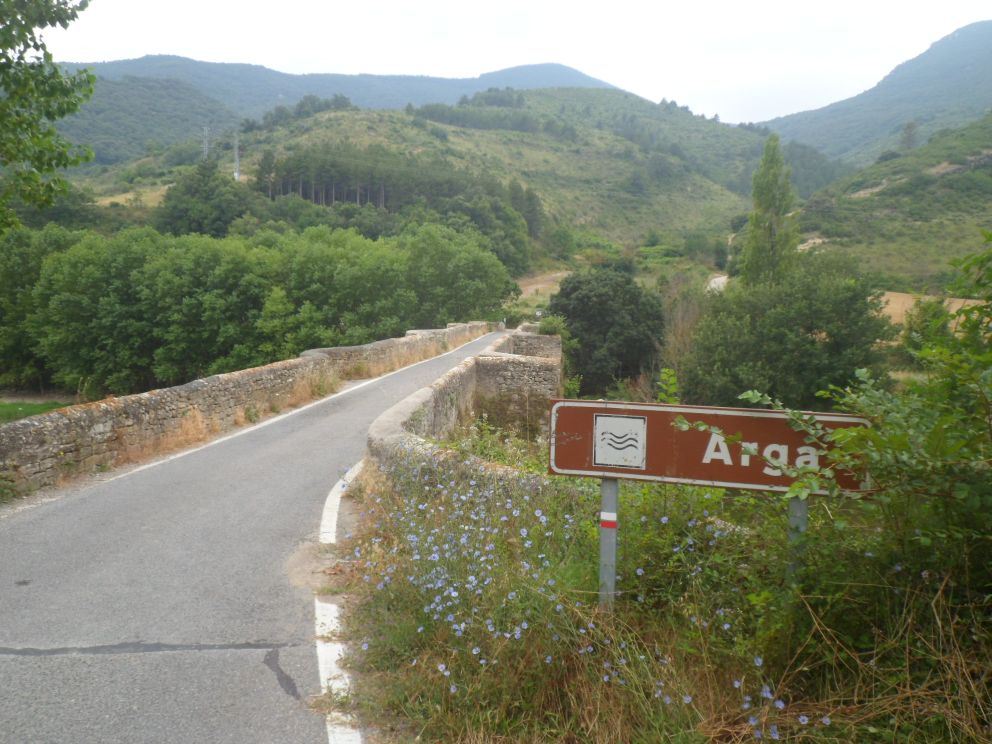
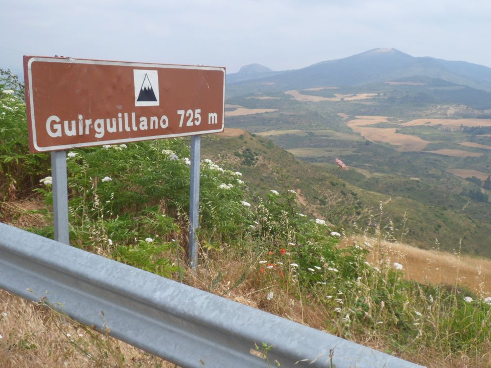
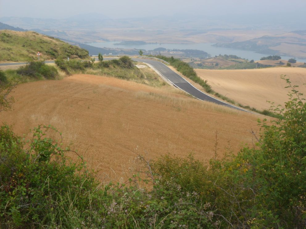
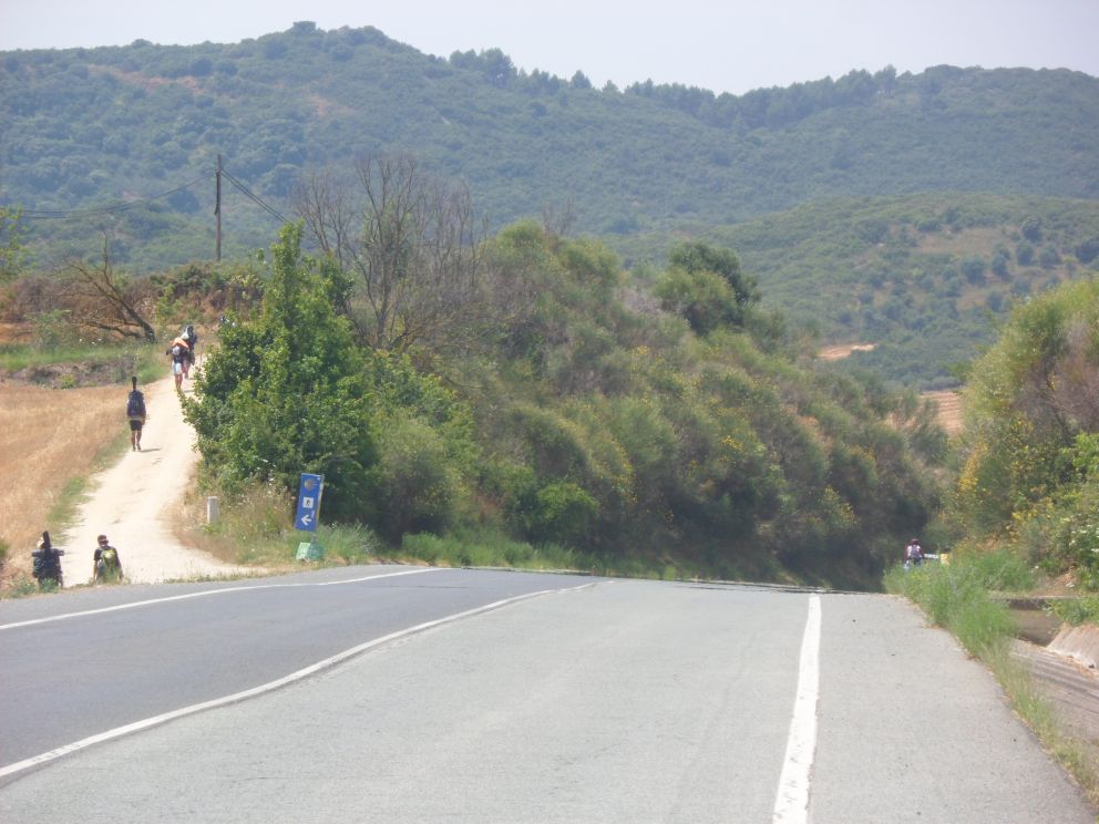
I have not many remembrances of the first two hours. Even with a copy of a map of the inner city, provided by the woman at the reception of the youth hostel it takes me quite some while - and busy roads - to get out of Pamplona. I'm going south-west, but have no clear idea where I'll end up today. Which is good! Every road here is new to me; nice! After yesterday's experiences I'm rather focused on towns that look large enough to have a shop. For this reason I do some early shopping in Etxauri (or was it Ibero?), before I turn left/south into 'no men's land'. What I also learned yesterday: it's quite difficult to read off differences in altitude from the Michelin maps 1:150.000 for Spain. The (many) rivers give some indication that you will be going from one valley to another, usually over a pass, often without a name, but how much the road goes up, let alone how steep: you just have to get there to see (feel!) it. That makes it difficult to plan a route. My best guess now is that after some 6 km I will cross a river (the Río Arga) that I will follow upstream for some 8 km, and then start climbing to the west. It's a nice quiet ride along the river (two Basques on racing bikes affirm that I have chosen a scenic route). From where I leave the river it's about 300 m up in some 7 km (I learn at home, from Google Maps). To Guirguillano I mostly ride through a forest, the last 1.5 km from Guirguillano to the pass (named after the village) are open with nice views back. The views down to the other side are quite nice too; the descent brings me to the first embalse (storage lake) of my tour.
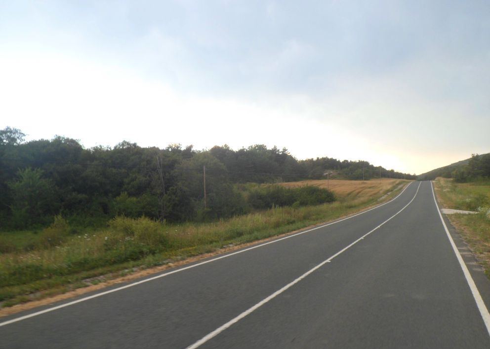

Guirguillano


One of today's two puertos


First of many   . . . .


. . . . .  embalses

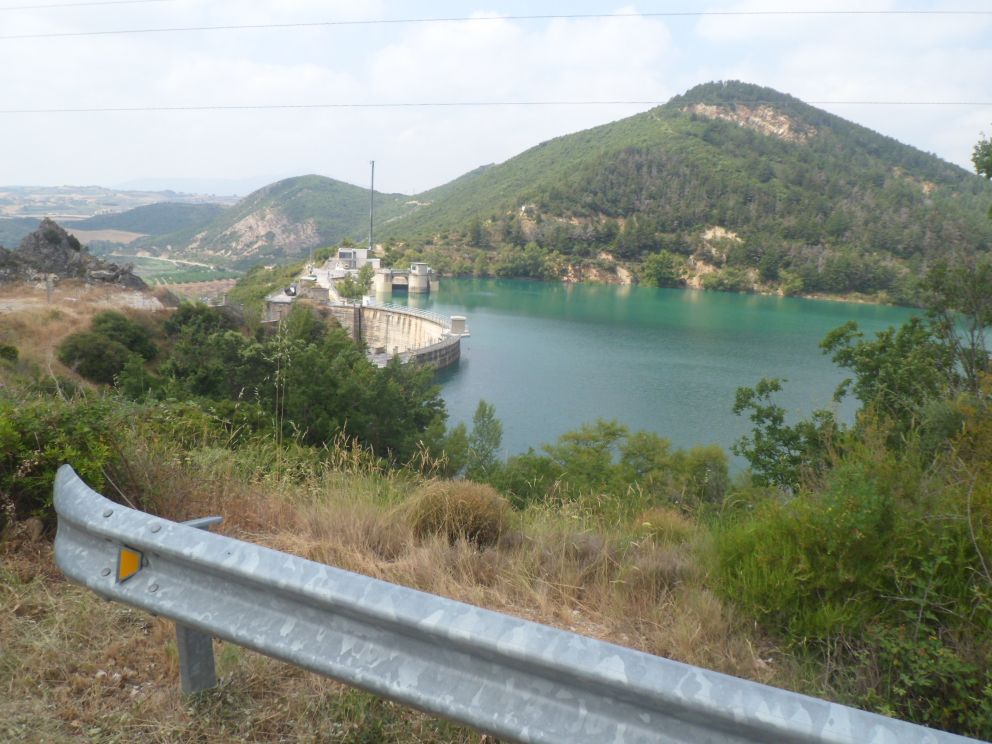
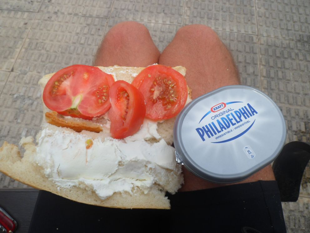
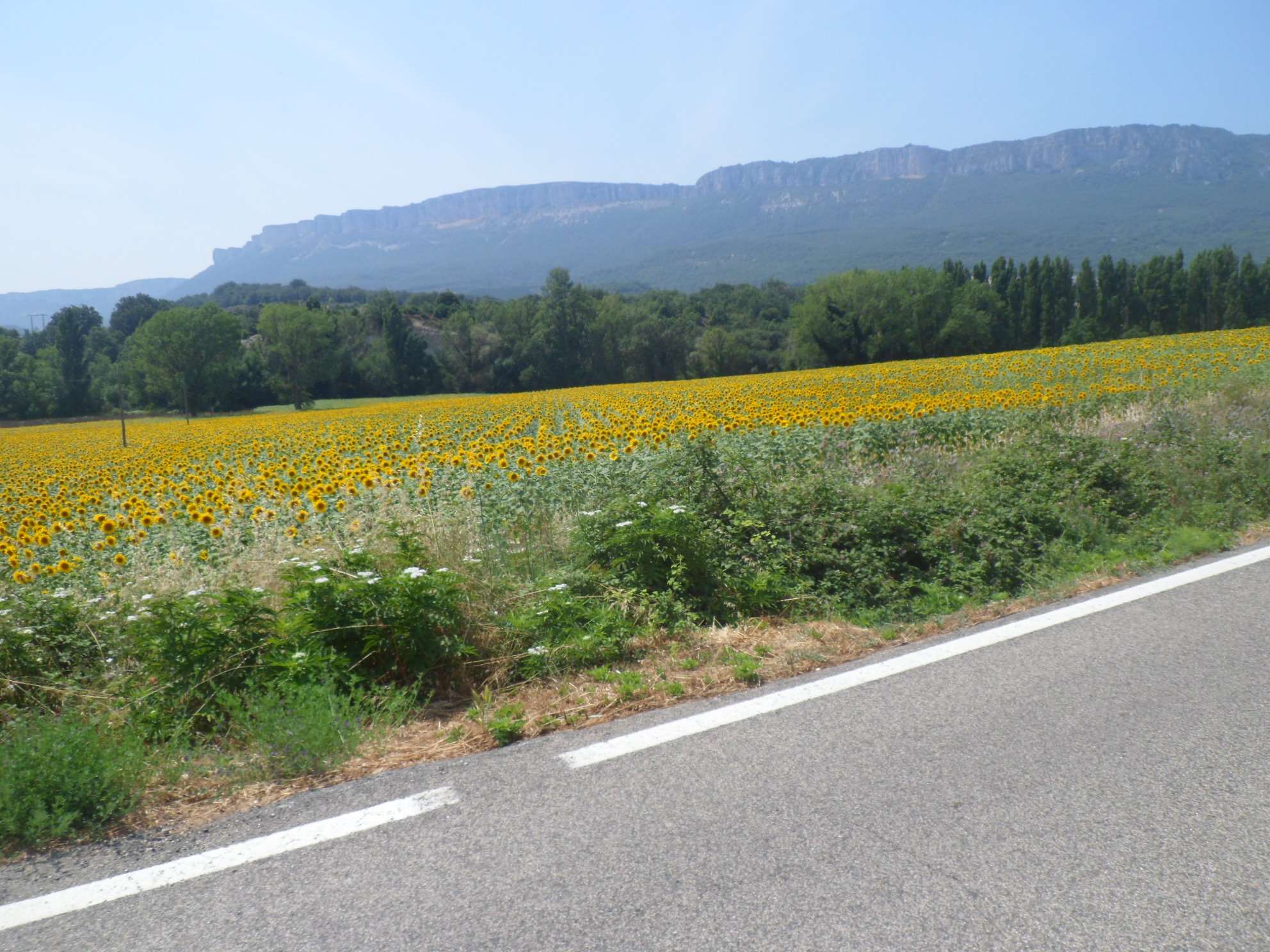
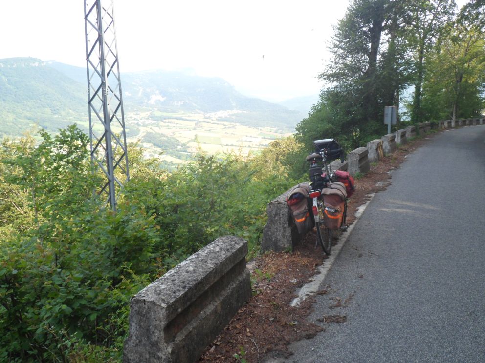
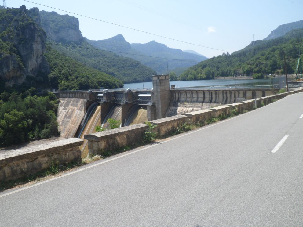
I pass two dams - it's always impressive to see how human 'hands' can construct such huge objects - and do not give myself a rest till Villatuerta, 5 km before Lizarra/Estella, which I had originally in mind for lunch break. However, I've already 65 km behind me, and it's WARM. I make myself a delicious sandwich à la Art (with California cream cheese and tomatoes). In Lizarra/Estella I don't find an oficina de turismo, but hey, let's see what happens. The Basques I met earlier assured me there will be ho(s)tels in the Campezo region, so from Lizarra that's where I'm heading. During the warmest hours of the day I'll do the biggest climb of the day, the Puerto de Urbasa, some 500 m up in 20 km. For the first 12 km not much happens. I have a nice view to a sierra to the left. The actual climbing starts around the last village, Zudaire, where during a pits-stop (= coca cola stop) at a tank station I learn that the interesting road connecting the Urbasa with the Puerto de Opacua is almost even indeed, but unpaved for 10 km. Well, I can manage that, if only the clouds that are coming in will not lead to thunderstorms.


My favorite sandwich


Hikers and biker


Nice way up to Puerto de Urbasa


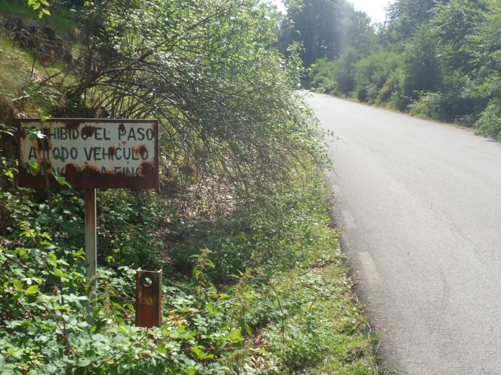
Prohibido el paso a todo vehículo


And down again


The locals   (the 'one with the aunt')

However, this high road has a sign 'forbidden for all traffic', so I skip it, and retrace my steps/wheels for 5 km, and then take the shortest route to Santa Cruz de Campezo. Some locals pass me, and one of them tells me his aunt has a pension (casa rural). It's actually not in the direction of Santa Cruz, but I have him make a call to his aunt. No response, so I stick to my former plan.

They also tell me I ought to have 'risked' the 'high' road, but it's no use crying over a missed puerto. The road is going up and down all the time, but the last 10 km are slowly downhill. After an (Amstel) beer in Done Bikendi Harana (in a large lemonade glass, which is filled for 3/4th, which is quite normal here). I arrive in Santa Cruz around 7 p.m.   It has been quite a long day for not even such a long distance; I'm getting older . . .   Santa Cruz doesn't feel like a town with a ho(s)tel. The first person I ask indeed doesn't know about any accommodation, but the second tells me there's a casa rural up at the sanctuary. Up? Well, what can I do but try . . . one km is also quite steep . . . will there be . . . ? Yes, there is a pensión, with vacancies, and a terrace with a nice view. It feels like heaven. The price is quite reasonable too, and dinner isn't too bad either. Breakfast tomorrow will be too late for me, but I can buy some milk for cereals, and when I leave will put the key in the letter box. All in all quite a good day!


          Place for tonight?


          . . . . .  Carpe diem!


  20-07-2013     San Cruz de Campezo – Medina de Pomar     150 km


Right before take-off


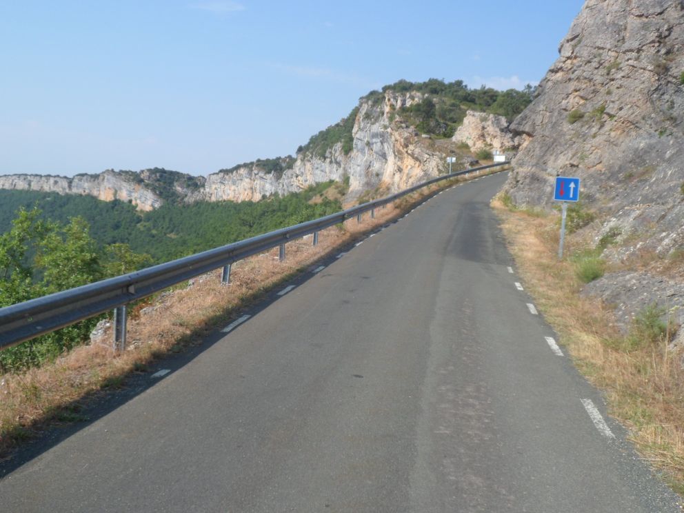
Nice morning ride   . . . .


up to Puerto Berneda   . . . .


. . . .   a.k.a.   La Aldea

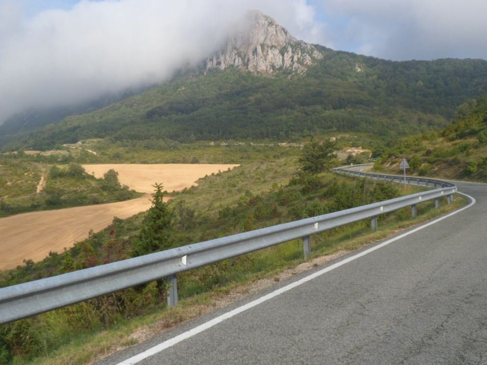
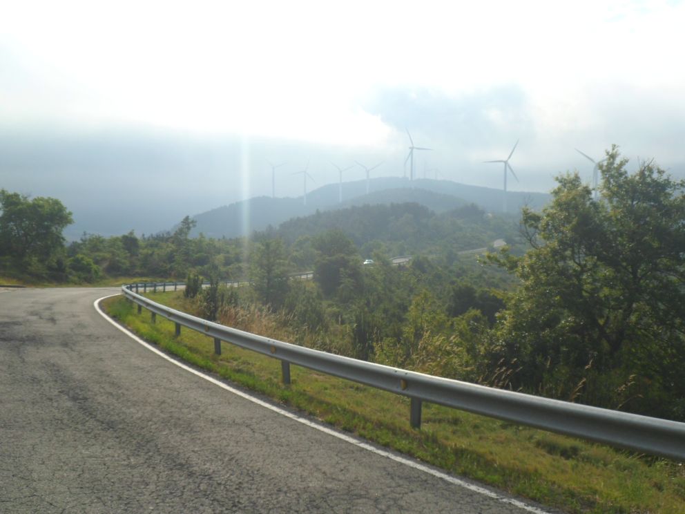
Solitary breakfast sitting on my bed; a habit I not yet mind (but later on will start to dislike more and more). No sign of life yet when I put my key in the mailbox and set off. A cool morning; no t-shirt weather yet, especially not during the 2 km descent I start with. I've decided I will include the Puerto de Bernedo. A quiet road, never steep, with nice views up to the hills whose tops are surrounded by haziness and at one range are topped by wind mills (those modern three-bladed towers of course). The climb takes its time, but with only 350 m or so up it's no big deal. The sign at the pass doesn't say "Puerto de Bernedo, 922 m", as I had expected, but "La Aldea, 1000 m". The climb seems much harder from the side of Bernedo (but I've learned that the impression you get when you race down can be illusive).


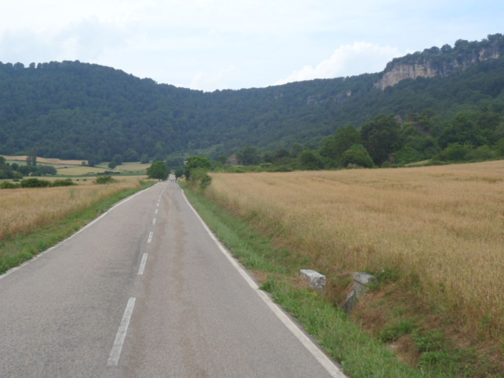
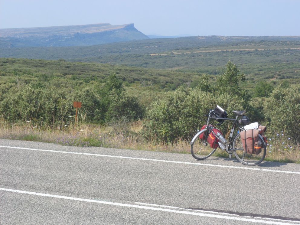
Open landscapes after the Puerto de Bernedo


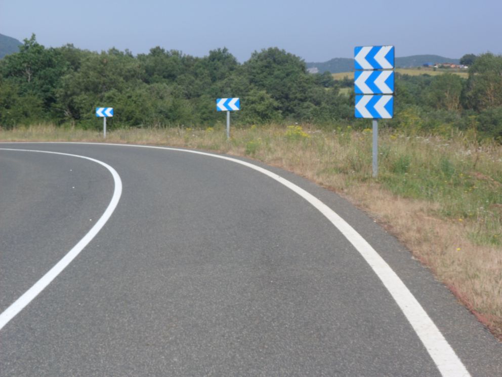
A bend that can't be overlooked


More   . . . .


. . . .   open landscapes

From then on till the last two hours the route is more or less even. That, plus the favorable wind from the east, explains the relatively long distance of the day. I haven't written much in my diary about this day, didn't make many photos either, so have scant memories of the section till Miranda de Ebro; the scenery is open, hilly, with many cornfields again. In Miranda de Ebro I finally find an oficina de turismo which is open too, and where the woman behind the desk is obviously pleased to have a client: she invests quite some time helping me find a bed some 60 km further west, and 'together' we decide it will be an hostal in Medina de Pomar - she calls and makes a reservation. The guide she sends me away with, containing info of other accommodations in Burgos is not very helpful as I will hardly spend any more time in this province. Since I expect in the next 24 hours (tomorrow is Sunday) I will not come across many shops I do huge shopping in an Eroski (cheap) supermarket - with all the fluids at least 5 kg! Well, part of the extra weight I stow away into my inside, attracting quite some attention of passers-by. I have some difficulty finding the tunnel under the train tracks, and finally the Río Ebro helps me to orientate myself and leads me onto the right track again.


The Ebro! (in Miranda)


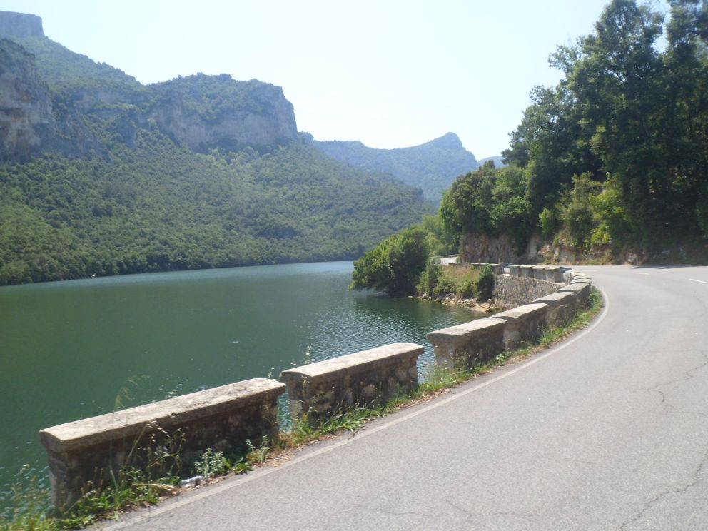
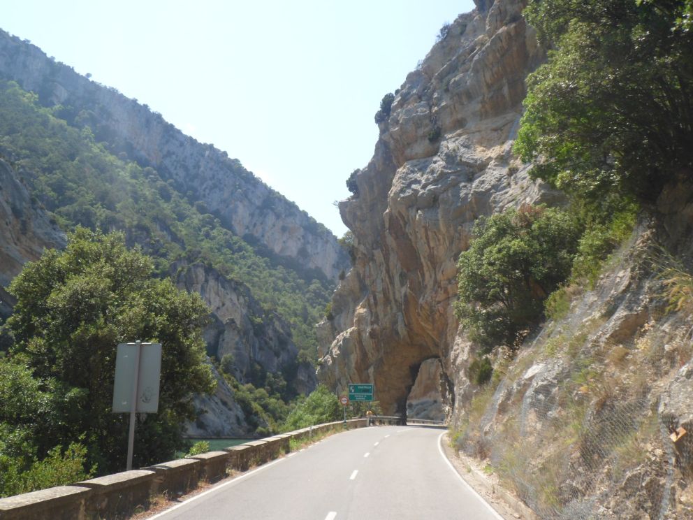
Gorges leading to


The Ebro!


Another dam


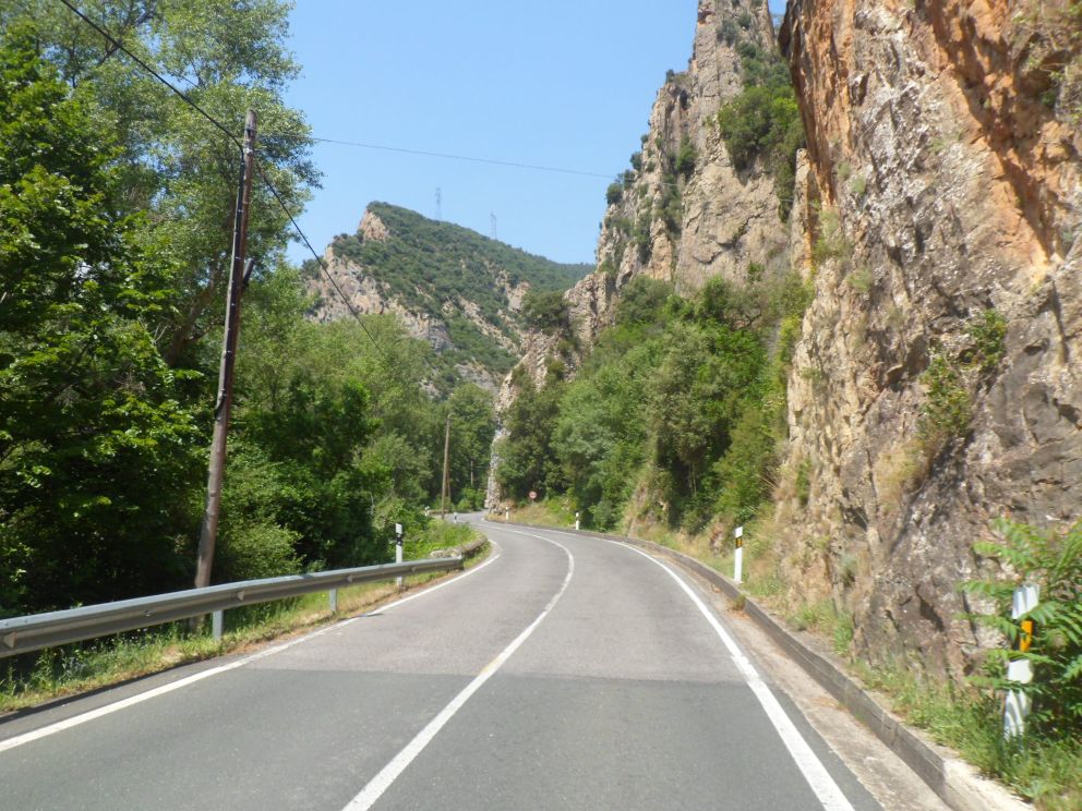
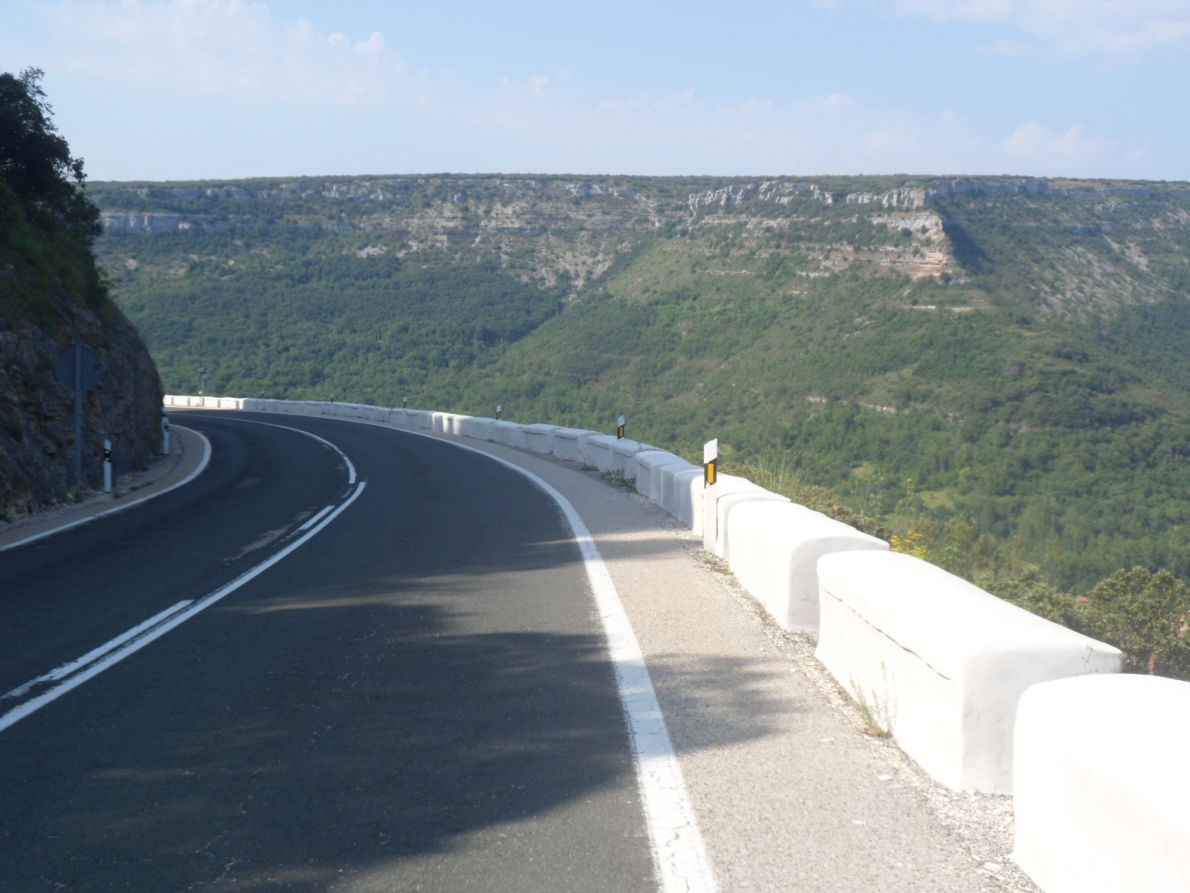
Gorgeous scenery


Short shelter with Bilbao fans


Dark clouds after the break


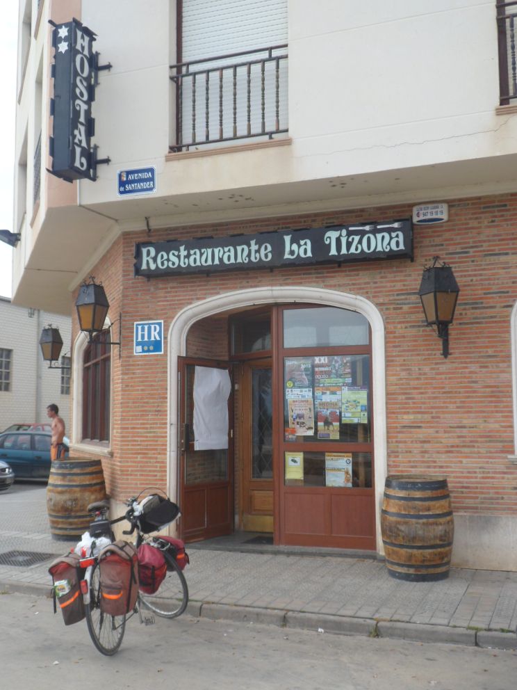
Hostal La Tizona

The A-2122 (I don't know what the A stands for; usually the first letter of a road refers to the province) is rather a busy road, until it splits from the A-265 (to Bilbao). The name doesn't change but the scenery does: the valley of the Ebro, at times quite deep and narrow, is gorgeous. Further on it widens and gets hillier. And it's warm! In Trespaderne I find a bench in a small town park/children's playground and enjoy another sandwich (before the cream cheese will start getting uneatable). I'm joined by a man in shorts (no shirt) with a baby on his arm that is crying all the time. Behind me the sky has changed in this half hour: it's not clear anymore and by far it isn't clear whether I will reach Medina de Pomar without a thunderstorm. Nevertheless I choose the longer/quieter alternative over the BU-550 instead of the N-629. The road is going up slightly, the wind increases, the thunder is undeniably approaching, and when after 15 km the weather becomes really threatening there's a restaurant where I find shelter, a beer and some Spanish conversation. After half an hour I set off again, the sky is still quite dark at one side, but I reach Medina without a droplet. The hostal ... is a bit out of the lively center, but it's okay. After a shower and a short repose I return to the center where to my regret most kitchens start functioning at nine (or even ten!). I have a chat with an Welshman/Español who is cycling around low budget (often camping wild), who has some tips and recommendations. Going to a restaurant is too expensive (and also too early) for him. I have a pizza on an unsociable terrace on the other end of the town.


  21-07-2013     Medina de Pomar – Arbejal     137 km

My birthday! Alas not a very lively breakfast . . . I'm alone with my cereals, facing an unshaven 52 year old in the mirror. After I have loaded my bike I have a coffee and a quick look at a newspaper before I depart. Which direction to go?? I should have thought about this yesterday. Now I first ride out of town, retrace my steps, change plans, change plans another time (even though the direct road to Vallercayo (BU-560) doesn't feel too busy on this hour), and with some difficulty (and info from a Spanish cyclist) find the right (quiet) way (BU-V-5601) out of town. It's a beautiful morning, with a clear blue sky, through a beautiful countryside.


Nice morning ride (again)   . . . .


with quite some climbing   . . . .


unto a plateau


And then down again

First I'm out in the open, with sierras in the distance, topped or not topped by windmills. I follow the Ebro for a while, without seeing much of it, but the high rocked valley it has worn its way into is beautiful. After 10 km or so I get away from the river and up to the high plain (I learn later). It seems I gain quite some altitude - I really miss this information on the map - and at a junction from where the road I have planned to take goes down, a local warns me I better not take it, since it leads to another long climb. I take his advice, which means another 2 km going (not very severely) up, after which follows a short descent to the N-623. This 'red' road from north to south lies on a barren high plain with an interesting rock formation in the west. 10 km, first even, and eventually going down steeper and steeper (not very steep of course; that they don't like in Spain, at least not on the busy roads I have seen until now). I descend into another canyon cut out by the Ebro, to the absolutely marvelously situated village of Escalada.


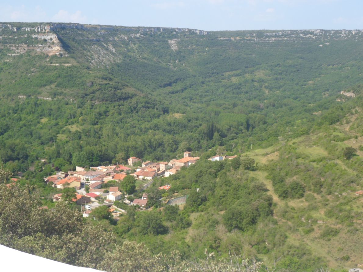
Beautifully located   . . . .


. . . .   Escalada

This is quite a funny, artistic village too, with a casa rural in which I definitely would have loved to spend an evening/night, but of which the terrace today around eleven is still closed. There's a very small shop, and when the woman who runs it hears about my misadventure at the other side of the road she offers me a coffee in the garden, and - when I tell her it's my birthday - a beso too. It's a wonderful day indeed! I expect a nice next hour along the Ebro again, and I am not disappointed; on the contrary, this may well be the nicest section along the river I already know of since geography lessons at primary school. It's wonderful! Later on the scenery gets more open and less exciting. In one of the villages (Puente del Valle?), with a shop open on Sunday, I buy some (plane) yogurt and some cherries too, and also for a change I fill my bottles at a public tap. When I leave the river for the last time (I guess), shortly before Villanueva de Nía, I have a short break with yogurt and cereals on an old bridge over a side river.


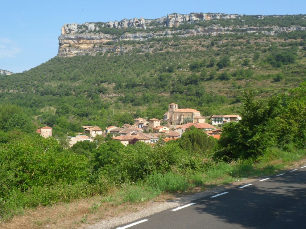
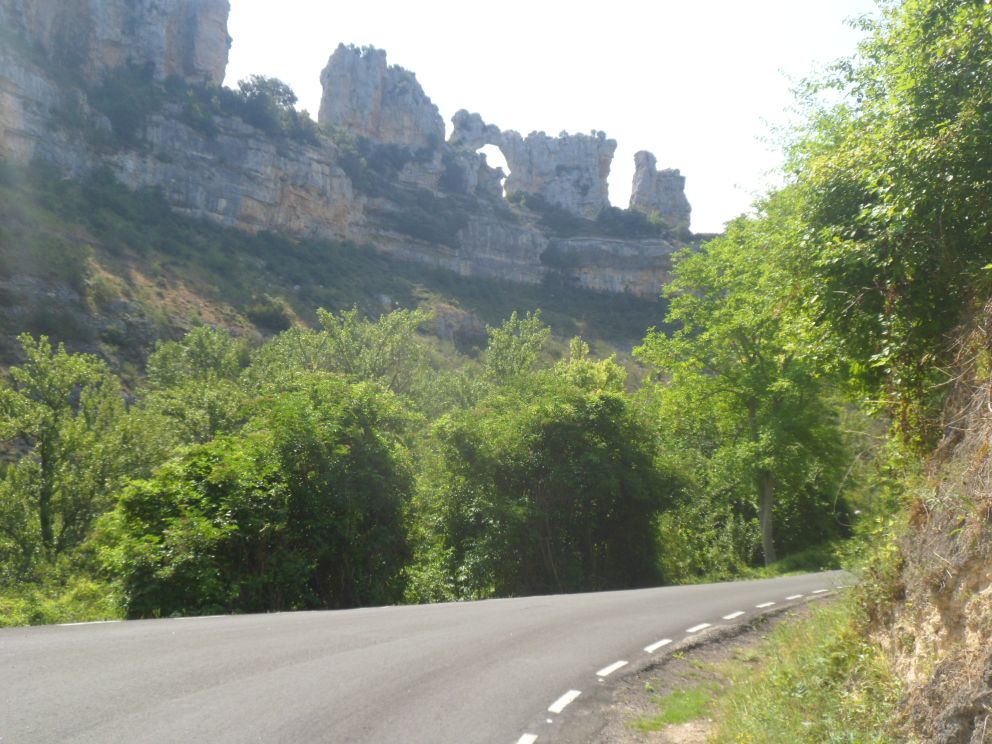
Remarkable rock formations around the Ebro


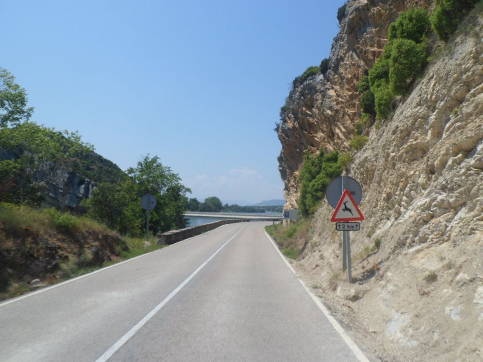
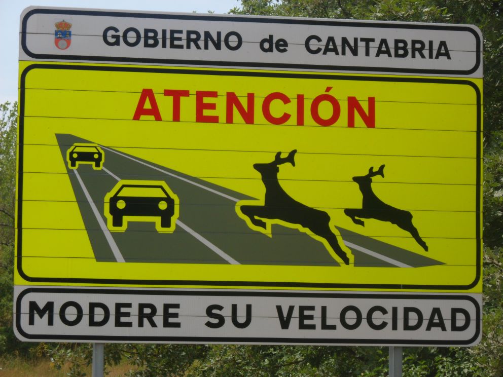
Remarkable warning sign
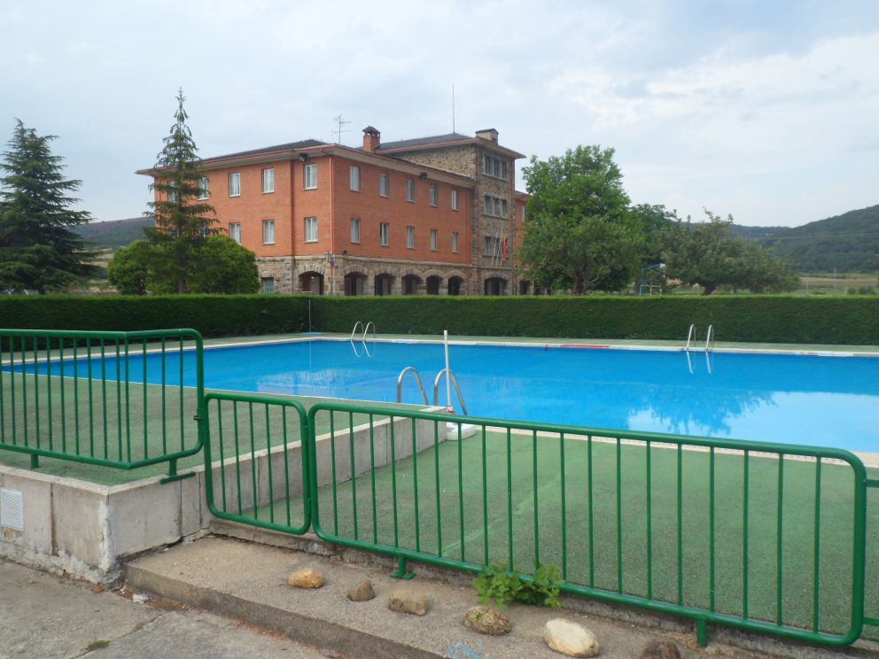
It's a really warm afternoon! The water from Puente del Valle tastes gruesome, so I buy a 1.5 l bottle in a restaurant in Quintanilla de las Torres. From then the route is a bit disappointing. I try (and succeed ;-) to ride around Aguilar de Campoo, and choose an alternative route to Cervera, bringing me up to the Embalse de Aguilar. And also up into some rain. The rain starts a few times but never sets through long or hard enough to make me get off my bike to put on my raincoat. What worries me more is the risk of thunderstorms - the rumbling and lightning is not so far away - which ruins the pleasure. At every village I have to decide again whether to take shelter or continue. When I finally get onto the main road to Cervera - I cross the river Pisuerga in the sun! - I have a beer in Salinas de Pisuerga, where it definitely has been raining harder than on my alternative route. I mount my Koga for the last 15 km which I expect to be more or less even. My expectation is correct though of course even in Spain is not like even in Holland. I don't understand the green line some employee of Michelin has put along the road; I find it rather boring. I have my eyes open for a shop but find none in Cervera, so I just continue till Arbejal over the road to the Embalse de Requejada, a small part, since the youth hostel where I will stay is situated before Arbejal. I arrive shortly after 6 p.m. It's on quite a big grounds, with also several tents, and . . . a swimming pool. It's a bit hard to find a soul (living) there - but I've made a reservation yesterday, and indeed, a woman sends me around the building to the 'main entrance'. The price is ridiculously low, 10 or 12 euro for two nights. No meals are provided, though, and I'm not allowed to use the swimming pool (because of the thunderstorms still around, I guess). The madre del albergue also gives me a few yoghurts for breakfast. To my chagrin I'm the only guest today. So it will be quite a solitary anniversary.


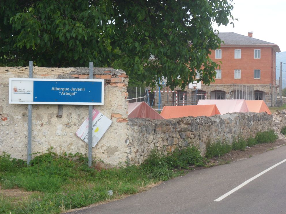
Youth hostel at Arbejal


with swimming pool!

I wash a few things and return to Cervera for a meal - the lady of the house tells me there's not much choice in Arbejal. Dinner is a bit of a letdown. The town is quite busy and it's hard to find a free chair. The kitchens open at 9 p.m., it also starts to rain, quite hard, and I throw my glass off the table (luckily after I have finished the contents, i.e. beer). I've found one restaurant where I can be served at 8 p.m. It's quite empty, and there's no possibility to sit outside. At first I'm given the cheap menu - I suppose I don't look the big spender. Halfway the electricity breaks down - there are still thunderstorms around - but that's only for five minutes. In the twilight I ride the 2 km back to my uncozy bedroom. I have a look at my maps - tomorrow a trip to the Pico de Tres Mares, probably my highest point in Spain - and spend the last hour of this birthday sleeping . . .


↓   ↓   ↓
   Next day